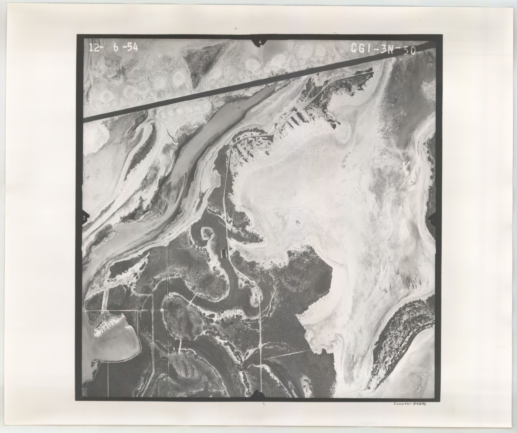
Flight Mission No. CGI-3N, Frame 50, Cameron County
CGI-3N-50
-
Map/Doc
84556
-
Collection
General Map Collection
-
Object Dates
1954/12/6 (Creation Date)
-
People and Organizations
U. S. Department of Agriculture (Publisher)
-
Counties
Cameron
-
Subjects
Aerial Photograph
-
Height x Width
18.6 x 22.2 inches
47.2 x 56.4 cm
-
Comments
Flown by Puckett Aerial Surveys, Inc. of Jackson, Mississippi.
Part of: General Map Collection
Outer Continental Shelf Leasing Maps (Louisiana Offshore Operations)

Print $20.00
- Digital $50.00
Outer Continental Shelf Leasing Maps (Louisiana Offshore Operations)
1959
Size 17.9 x 14.0 inches
Map/Doc 76097
Hansford County Sketch File 10

Print $6.00
- Digital $50.00
Hansford County Sketch File 10
1931
Size 8.2 x 8.5 inches
Map/Doc 24969
Wilbarger County Sketch File 23

Print $4.00
- Digital $50.00
Wilbarger County Sketch File 23
1887
Size 14.2 x 8.8 inches
Map/Doc 40223
Anderson County Rolled Sketch 12

Print $20.00
- Digital $50.00
Anderson County Rolled Sketch 12
1954
Size 24.6 x 21.3 inches
Map/Doc 77157
Orange County Working Sketch 40

Print $20.00
- Digital $50.00
Orange County Working Sketch 40
1979
Size 19.2 x 12.1 inches
Map/Doc 71372
Map of Polk County

Print $20.00
- Digital $50.00
Map of Polk County
1881
Size 25.7 x 21.1 inches
Map/Doc 3962
Presidio County Working Sketch 83

Print $20.00
- Digital $50.00
Presidio County Working Sketch 83
1969
Size 21.5 x 24.8 inches
Map/Doc 71760
Presidio County Rolled Sketch 53

Print $20.00
- Digital $50.00
Presidio County Rolled Sketch 53
1911
Size 14.3 x 21.7 inches
Map/Doc 7345
San Patricio County Sketch File 18

Print $4.00
San Patricio County Sketch File 18
Size 6.2 x 8.3 inches
Map/Doc 36066

Travis County Boundary File 1

Print $8.00
- Digital $50.00
Travis County Boundary File 1
Size 9.0 x 14.6 inches
Map/Doc 59403
Upton County Rolled Sketch 36A

Print $40.00
- Digital $50.00
Upton County Rolled Sketch 36A
1952
Size 43.5 x 65.8 inches
Map/Doc 10661
You may also like
The Rand McNally New Commercial Atlas Map of Texas

Print $20.00
- Digital $50.00
The Rand McNally New Commercial Atlas Map of Texas
1914
Size 28.6 x 40.2 inches
Map/Doc 95849
Flight Mission No. CRC-2R, Frame 197, Chambers County

Print $20.00
- Digital $50.00
Flight Mission No. CRC-2R, Frame 197, Chambers County
1956
Size 18.7 x 22.5 inches
Map/Doc 84775
Swisher County Rolled Sketch 3

Print $20.00
- Digital $50.00
Swisher County Rolled Sketch 3
Size 21.3 x 19.4 inches
Map/Doc 7904
Martin County Working Sketch 1

Print $20.00
- Digital $50.00
Martin County Working Sketch 1
1922
Size 21.8 x 16.9 inches
Map/Doc 70819
Flight Mission No. DCL-6C, Frame 117, Kenedy County

Print $20.00
- Digital $50.00
Flight Mission No. DCL-6C, Frame 117, Kenedy County
1943
Size 18.5 x 22.2 inches
Map/Doc 85947
Traveller's Map of the State of Texas

Print $20.00
- Digital $50.00
Traveller's Map of the State of Texas
1867
Size 43.4 x 41.6 inches
Map/Doc 93906
Crane County Sketch File 30

Print $40.00
- Digital $50.00
Crane County Sketch File 30
1933
Size 14.0 x 8.4 inches
Map/Doc 19610
[Blks. B9, J, D19, John Walker]
![90480, [Blks. B9, J, D19, John Walker], Twichell Survey Records](https://historictexasmaps.com/wmedia_w700/maps/90480-1.tif.jpg)
Print $20.00
- Digital $50.00
[Blks. B9, J, D19, John Walker]
Size 28.6 x 15.9 inches
Map/Doc 90480
Midland County

Print $20.00
- Digital $50.00
Midland County
1896
Size 23.0 x 21.1 inches
Map/Doc 3878
Anderson County Sketch File 3

Print $4.00
- Digital $50.00
Anderson County Sketch File 3
1856
Size 12.7 x 8.2 inches
Map/Doc 12741
Gonzales County Boundary File 34 (9)

Print $18.00
- Digital $50.00
Gonzales County Boundary File 34 (9)
Size 8.5 x 3.9 inches
Map/Doc 53836
Jeff Davis County Sketch File 31

Print $34.00
- Digital $50.00
Jeff Davis County Sketch File 31
Size 10.6 x 8.4 inches
Map/Doc 28023