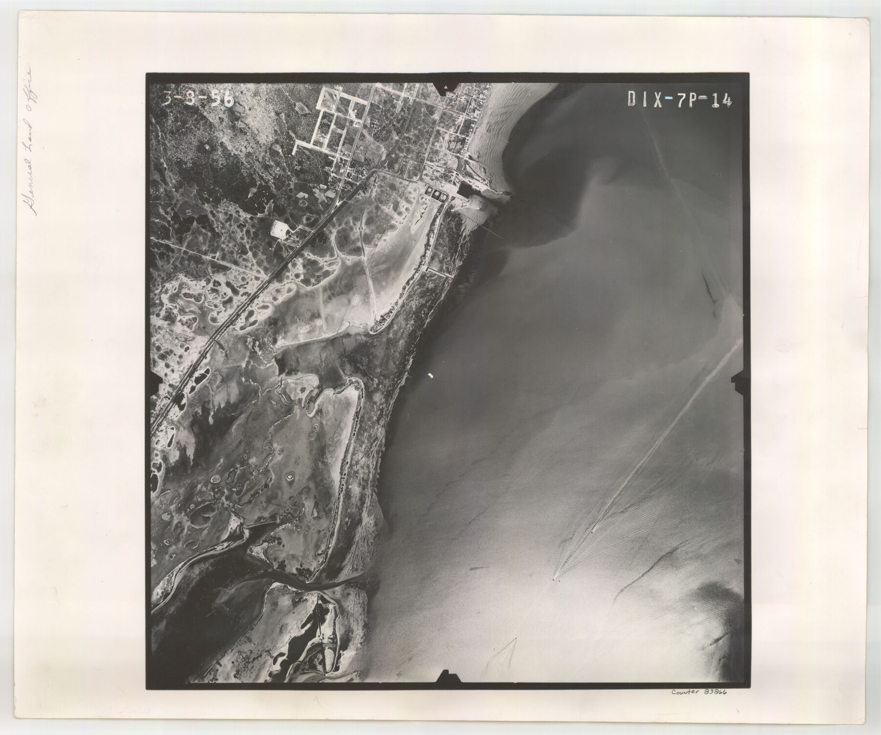
Flight Mission No. DIX-7P, Frame 14, Aransas County
DIX-7P-14
-
Map/Doc
83866
-
Collection
General Map Collection
-
Object Dates
1956/3/8 (Creation Date)
-
People and Organizations
U. S. Department of Agriculture (Publisher)
-
Counties
Aransas
-
Subjects
Aerial Photograph
-
Height x Width
18.8 x 22.6 inches
47.8 x 57.4 cm
-
Comments
Flown by V. L. Beavers and Associates of San Antonio, Texas.
Part of: General Map Collection

Bee County Sketch File 8b

Print $4.00
- Digital $50.00
Bee County Sketch File 8b
Size 11.5 x 8.1 inches
Map/Doc 14287
Upton County Sketch File 31

Print $20.00
- Digital $50.00
Upton County Sketch File 31
Size 5.8 x 20.7 inches
Map/Doc 38883
Andrews County Rolled Sketch 21

Print $20.00
- Digital $50.00
Andrews County Rolled Sketch 21
Size 18.2 x 26.3 inches
Map/Doc 77169
[Sketch for Mineral Application 26501 - Sabine River, T. A. Oldhausen]
![2847, [Sketch for Mineral Application 26501 - Sabine River, T. A. Oldhausen], General Map Collection](https://historictexasmaps.com/wmedia_w700/maps/2847.tif.jpg)
Print $20.00
- Digital $50.00
[Sketch for Mineral Application 26501 - Sabine River, T. A. Oldhausen]
1931
Size 24.7 x 37.1 inches
Map/Doc 2847
Presidio County Working Sketch 27

Print $20.00
- Digital $50.00
Presidio County Working Sketch 27
1945
Size 32.4 x 13.4 inches
Map/Doc 71703
Lubbock County Boundary File 4

Print $4.00
- Digital $50.00
Lubbock County Boundary File 4
Size 11.2 x 8.8 inches
Map/Doc 56491
Greer County Sketch File 7

Print $40.00
- Digital $50.00
Greer County Sketch File 7
Size 12.8 x 17.5 inches
Map/Doc 24526

Deaf Smith County Working Sketch 1

Print $20.00
- Digital $50.00
Deaf Smith County Working Sketch 1
1919
Size 27.3 x 14.7 inches
Map/Doc 68641
Kent County Working Sketch 13

Print $20.00
- Digital $50.00
Kent County Working Sketch 13
1963
Size 27.9 x 44.2 inches
Map/Doc 70020
Crockett County Working Sketch 71

Print $20.00
- Digital $50.00
Crockett County Working Sketch 71
1963
Size 38.7 x 32.7 inches
Map/Doc 68404
You may also like
Dallas County Rolled Sketch 2

Print $40.00
- Digital $50.00
Dallas County Rolled Sketch 2
1950
Size 36.9 x 51.0 inches
Map/Doc 8766
Map of Ramon Musquiz Survey, Meanders of Lavaca & Navidad Rivers, Menefee & Redfish Lakes

Print $20.00
- Digital $50.00
Map of Ramon Musquiz Survey, Meanders of Lavaca & Navidad Rivers, Menefee & Redfish Lakes
1934
Size 23.0 x 18.6 inches
Map/Doc 65456
Palo Pinto County Sketch File 7

Print $4.00
- Digital $50.00
Palo Pinto County Sketch File 7
1870
Size 13.0 x 8.2 inches
Map/Doc 33398

Map of the Harlem State Farm and the Central State Farm, Fort Bend County, Texas

Print $20.00
- Digital $50.00
Map of the Harlem State Farm and the Central State Farm, Fort Bend County, Texas
Size 35.7 x 32.1 inches
Map/Doc 62995

Hardeman County Sketch File 11

Print $42.00
- Digital $50.00
Hardeman County Sketch File 11
Size 9.2 x 9.1 inches
Map/Doc 25008
Bee County Working Sketch 21

Print $20.00
- Digital $50.00
Bee County Working Sketch 21
1983
Size 32.5 x 37.5 inches
Map/Doc 67271
Lubbock County Hale County

Print $20.00
- Digital $50.00
Lubbock County Hale County
Size 18.0 x 22.4 inches
Map/Doc 92833
1883 Map of the Texas & Pacific R-Y Reserve

Print $40.00
- Digital $50.00
1883 Map of the Texas & Pacific R-Y Reserve
1883
Size 42.2 x 86.4 inches
Map/Doc 2236
Tyler County Working Sketch 2

Print $20.00
- Digital $50.00
Tyler County Working Sketch 2
1915
Size 17.5 x 10.4 inches
Map/Doc 69472
Index to the following sixteen sheets, being a compleat chart of the West Indies with letters in the margin to direct the placing of the different sheets in their proper places

Print $20.00
- Digital $50.00
Index to the following sixteen sheets, being a compleat chart of the West Indies with letters in the margin to direct the placing of the different sheets in their proper places
1792
Size 21.5 x 28.6 inches
Map/Doc 96440