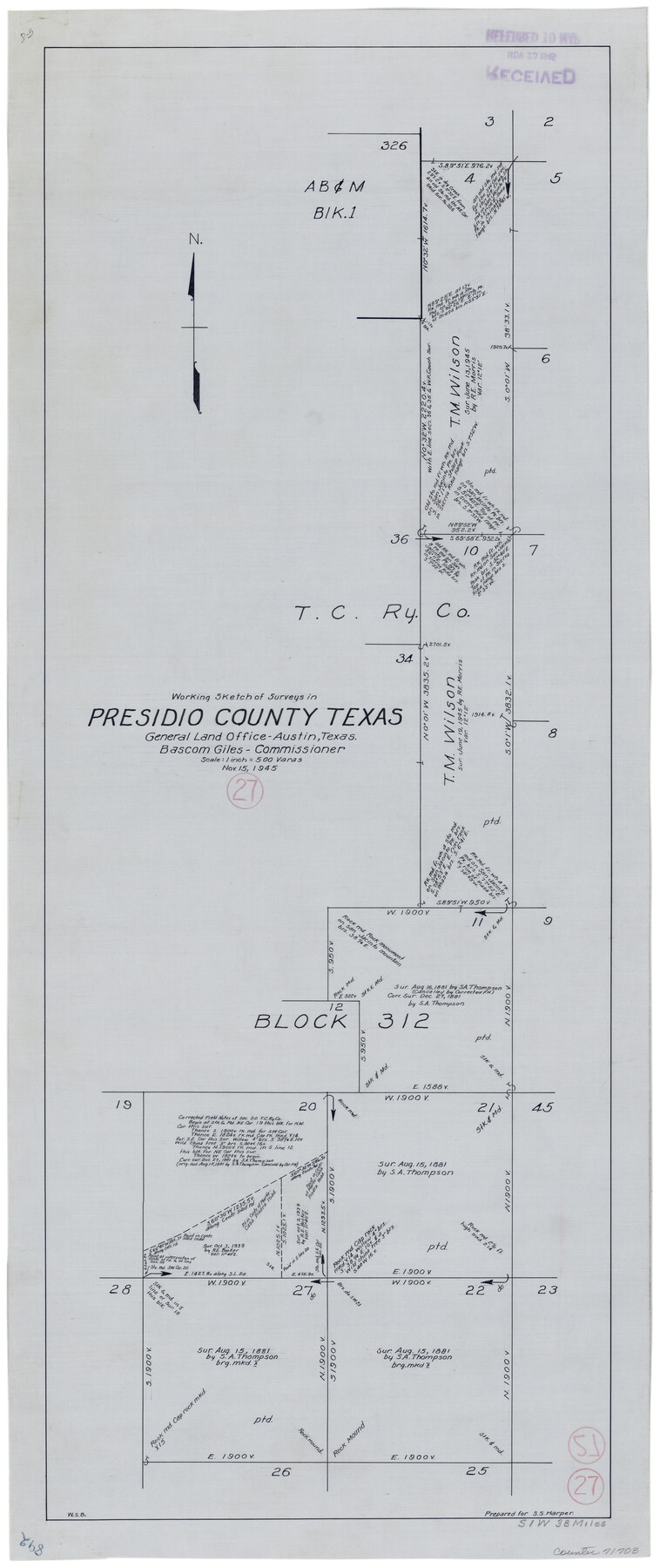
Presidio County Working Sketch 27
-
Map/Doc
71703
-
Collection
General Map Collection
-
Object Dates
11/15/1945 (Creation Date)
-
People and Organizations
W. S. Brewington (Draftsman)
-
Counties
Presidio
-
Subjects
Surveying Working Sketch
-
Height x Width
32.4 x 13.4 inches
82.3 x 34.0 cm
-
Scale
1" = 500 varas
Part of: General Map Collection
Nueces County Sketch File 44

Print $8.00
- Digital $50.00
Nueces County Sketch File 44
1953
Size 11.2 x 8.7 inches
Map/Doc 32637
Runnels County Sketch File 28

Print $6.00
Runnels County Sketch File 28
1949
Size 11.3 x 8.8 inches
Map/Doc 35493
Flight Mission No. CGI-1N, Frame 220, Cameron County

Print $20.00
- Digital $50.00
Flight Mission No. CGI-1N, Frame 220, Cameron County
1955
Size 18.5 x 22.1 inches
Map/Doc 84529
Dimmit County Working Sketch 54

Print $20.00
- Digital $50.00
Dimmit County Working Sketch 54
1996
Size 27.8 x 30.0 inches
Map/Doc 68715
Ward County Working Sketch 14

Print $20.00
- Digital $50.00
Ward County Working Sketch 14
1947
Size 30.3 x 28.8 inches
Map/Doc 72320
Dallas County Working Sketch 11

Print $20.00
- Digital $50.00
Dallas County Working Sketch 11
1982
Size 32.2 x 23.1 inches
Map/Doc 68577
Brazoria County NRC Article 33.136 Sketch 8

Print $20.00
- Digital $50.00
Brazoria County NRC Article 33.136 Sketch 8
2006
Size 17.1 x 11.2 inches
Map/Doc 83649
Fractional Township No. 7 South Range No. 6 East of the Indian Meridian, Indian Territory

Print $20.00
- Digital $50.00
Fractional Township No. 7 South Range No. 6 East of the Indian Meridian, Indian Territory
1898
Size 19.2 x 24.3 inches
Map/Doc 75211
Polk County Sketch File 18

Print $20.00
- Digital $50.00
Polk County Sketch File 18
1862
Size 25.5 x 18.9 inches
Map/Doc 12190
Fractional Township No. 9 South Range No. 9 East of the Indian Meridian, Indian Territory

Print $20.00
- Digital $50.00
Fractional Township No. 9 South Range No. 9 East of the Indian Meridian, Indian Territory
1898
Size 19.2 x 24.4 inches
Map/Doc 75216
Collingsworth County

Print $20.00
- Digital $50.00
Collingsworth County
1971
Size 40.7 x 34.2 inches
Map/Doc 77243
Dickens County Working Sketch 1

Print $20.00
- Digital $50.00
Dickens County Working Sketch 1
Size 15.5 x 15.5 inches
Map/Doc 68648
You may also like
Hardin County Working Sketch 38

Print $20.00
- Digital $50.00
Hardin County Working Sketch 38
1981
Size 37.2 x 19.4 inches
Map/Doc 63436
The Chief Justice County of Washington. Lands in Conflict with Nacogdoches County

Print $20.00
The Chief Justice County of Washington. Lands in Conflict with Nacogdoches County
2020
Size 13.0 x 21.7 inches
Map/Doc 96078
Concho County Working Sketch 22

Print $20.00
- Digital $50.00
Concho County Working Sketch 22
1959
Size 25.2 x 25.2 inches
Map/Doc 68204
Rand, McNally and Co.'s Texas and Indian Territory

Print $20.00
- Digital $50.00
Rand, McNally and Co.'s Texas and Indian Territory
1883
Size 24.3 x 18.6 inches
Map/Doc 4331
Flight Mission No. CGN-3P, Frame 140, San Patricio County

Print $20.00
- Digital $50.00
Flight Mission No. CGN-3P, Frame 140, San Patricio County
1956
Size 18.5 x 22.3 inches
Map/Doc 86984
[T. & P. Blocks 35 and 36, Townships 1N - 5N]
![93136, [T. & P. Blocks 35 and 36, Townships 1N - 5N], Twichell Survey Records](https://historictexasmaps.com/wmedia_w700/maps/93136-1.tif.jpg)
Print $40.00
- Digital $50.00
[T. & P. Blocks 35 and 36, Townships 1N - 5N]
Size 35.3 x 91.0 inches
Map/Doc 93136
Pecos County Rolled Sketch 65

Print $20.00
- Digital $50.00
Pecos County Rolled Sketch 65
1928
Size 37.9 x 33.8 inches
Map/Doc 9699
General Highway Map, Dallas County, Rockwall County, Texas

Print $20.00
General Highway Map, Dallas County, Rockwall County, Texas
1936
Size 18.7 x 25.2 inches
Map/Doc 79066
Chambers County Working Sketch 13

Print $20.00
- Digital $50.00
Chambers County Working Sketch 13
1956
Size 30.1 x 24.6 inches
Map/Doc 67996
The Republic County of Colorado. 1840

Print $20.00
The Republic County of Colorado. 1840
2020
Size 18.4 x 21.7 inches
Map/Doc 96122
Menard County Boundary File 2a

Print $80.00
- Digital $50.00
Menard County Boundary File 2a
Size 36.4 x 12.2 inches
Map/Doc 57065
Red River County Working Sketch 43

Print $40.00
- Digital $50.00
Red River County Working Sketch 43
1968
Size 72.5 x 36.8 inches
Map/Doc 72026