Flight Mission No. DIX-6P, Frame 182, Aransas County
DIX-6P-182
-
Map/Doc
83844
-
Collection
General Map Collection
-
Object Dates
1956/3/8 (Creation Date)
-
People and Organizations
U. S. Department of Agriculture (Publisher)
-
Counties
Aransas
-
Subjects
Aerial Photograph
-
Height x Width
19.1 x 22.8 inches
48.5 x 57.9 cm
-
Comments
Flown by V. L. Beavers and Associates of San Antonio, Texas.
Part of: General Map Collection
Newton County Working Sketch 34
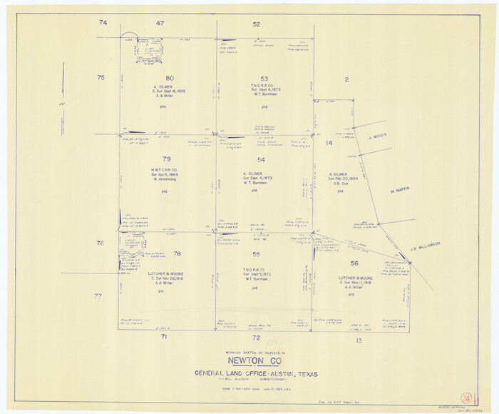

Print $20.00
- Digital $50.00
Newton County Working Sketch 34
1959
Size 27.0 x 32.6 inches
Map/Doc 71280
Eastland County Working Sketch 9


Print $20.00
- Digital $50.00
Eastland County Working Sketch 9
1919
Size 33.0 x 30.6 inches
Map/Doc 68790
Hartley County Sketch File 3
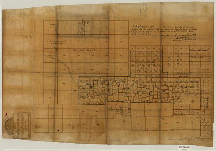

Print $20.00
- Digital $50.00
Hartley County Sketch File 3
1883
Size 26.8 x 38.4 inches
Map/Doc 10489
Flight Mission No. CUG-1P, Frame 163, Kleberg County


Print $20.00
- Digital $50.00
Flight Mission No. CUG-1P, Frame 163, Kleberg County
1956
Size 18.6 x 22.2 inches
Map/Doc 86170
Brazoria County Aerial Photograph Index Sheet 6
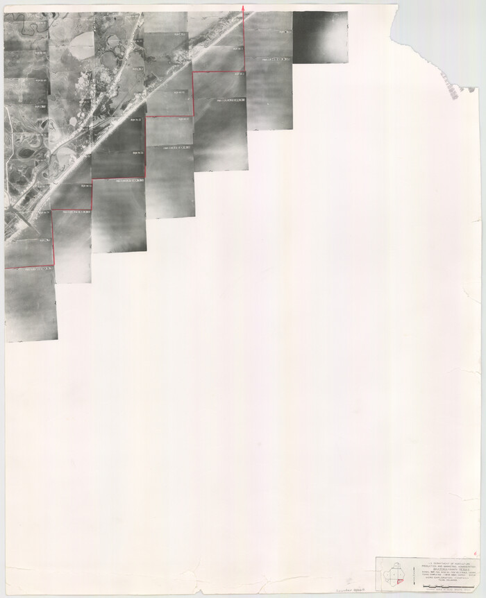

Print $20.00
- Digital $50.00
Brazoria County Aerial Photograph Index Sheet 6
1953
Size 23.8 x 19.3 inches
Map/Doc 83668
Jones County Working Sketch 6
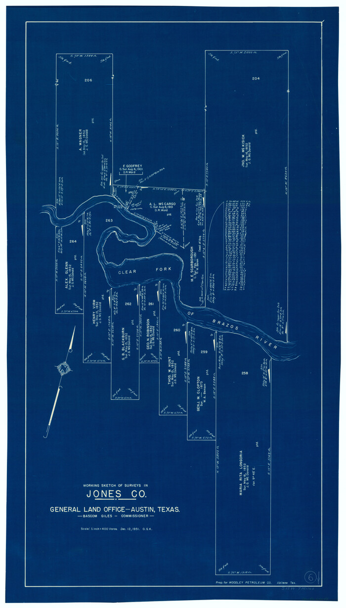

Print $20.00
- Digital $50.00
Jones County Working Sketch 6
1951
Size 36.2 x 20.6 inches
Map/Doc 66644
Van Zandt County Sketch File 32a


Print $4.00
- Digital $50.00
Van Zandt County Sketch File 32a
1860
Size 12.3 x 8.1 inches
Map/Doc 39467
Flight Mission No. CRC-6R, Frame 10, Chambers County
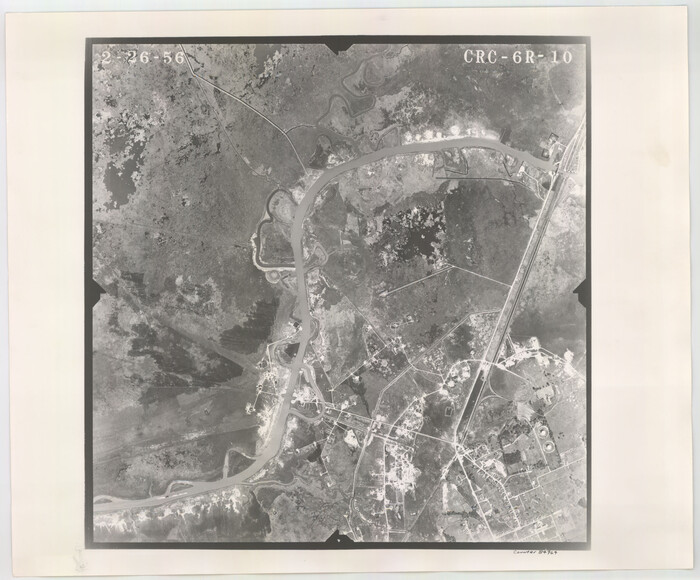

Print $20.00
- Digital $50.00
Flight Mission No. CRC-6R, Frame 10, Chambers County
1956
Size 18.6 x 22.4 inches
Map/Doc 84964
Culberson County Working Sketch 77
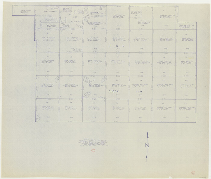

Print $20.00
- Digital $50.00
Culberson County Working Sketch 77
1975
Size 36.7 x 43.3 inches
Map/Doc 68531
[Triangulation Net of Part of Texas. Travis County to Red River]
![3101, [Triangulation Net of Part of Texas. Travis County to Red River], General Map Collection](https://historictexasmaps.com/wmedia_w700/maps/3101.tif.jpg)
![3101, [Triangulation Net of Part of Texas. Travis County to Red River], General Map Collection](https://historictexasmaps.com/wmedia_w700/maps/3101.tif.jpg)
Print $20.00
- Digital $50.00
[Triangulation Net of Part of Texas. Travis County to Red River]
1928
Size 28.2 x 33.9 inches
Map/Doc 3101
Ochiltree County Boundary File 4


Print $4.00
- Digital $50.00
Ochiltree County Boundary File 4
Size 11.1 x 8.7 inches
Map/Doc 57682
South Part of Webb County


Print $40.00
- Digital $50.00
South Part of Webb County
1984
Size 43.5 x 63.9 inches
Map/Doc 73320
You may also like
Texas Official Travel Map


Digital $50.00
Texas Official Travel Map
Size 33.5 x 36.2 inches
Map/Doc 94303
Brooks County Sketch File 6


Print $12.00
- Digital $50.00
Brooks County Sketch File 6
1941
Size 13.2 x 8.3 inches
Map/Doc 16560
Flight Mission No. DIX-7P, Frame 92, Aransas County
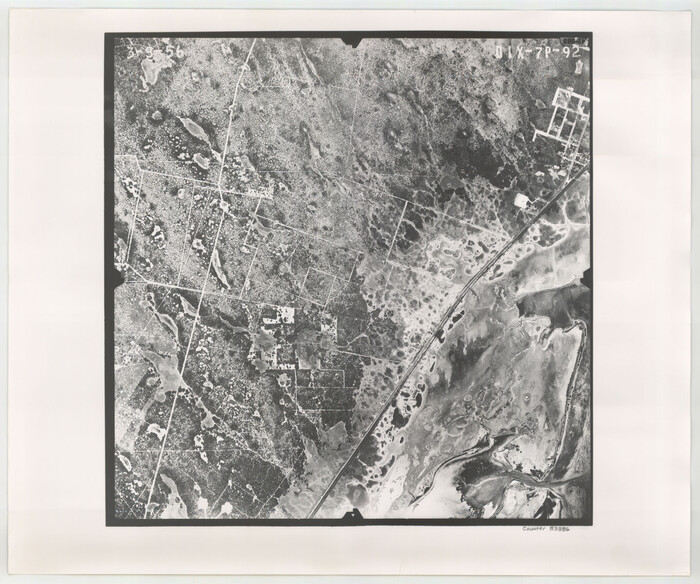

Print $20.00
- Digital $50.00
Flight Mission No. DIX-7P, Frame 92, Aransas County
1956
Size 18.7 x 22.4 inches
Map/Doc 83886
Tom Green County Rolled Sketch 29
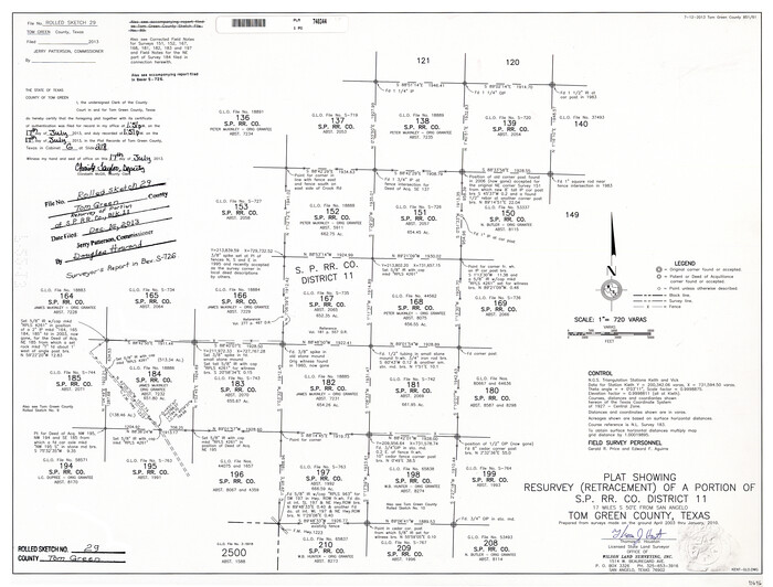

Print $20.00
- Digital $50.00
Tom Green County Rolled Sketch 29
Size 17.8 x 23.4 inches
Map/Doc 93646
Real County Working Sketch 15
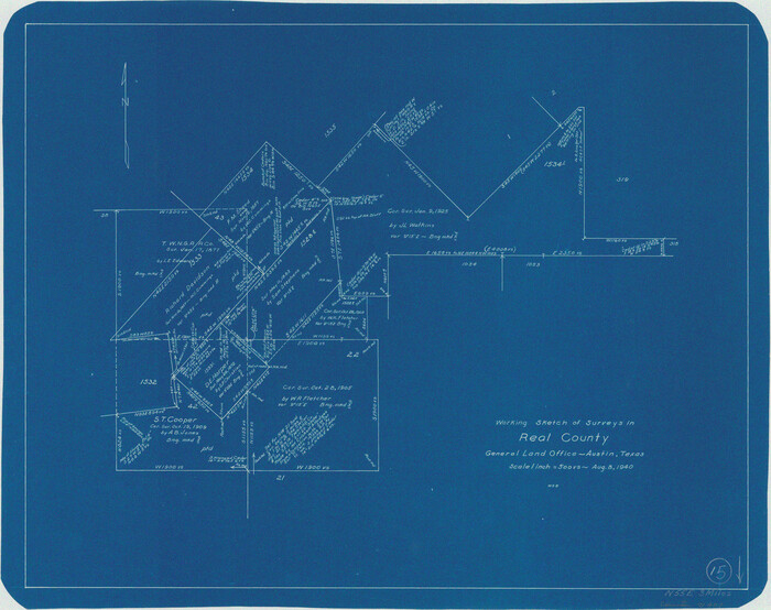

Print $20.00
- Digital $50.00
Real County Working Sketch 15
1940
Size 17.7 x 22.3 inches
Map/Doc 71907
Maps of Gulf Intracoastal Waterway, Texas - Sabine River to the Rio Grande and connecting waterways including ship channels
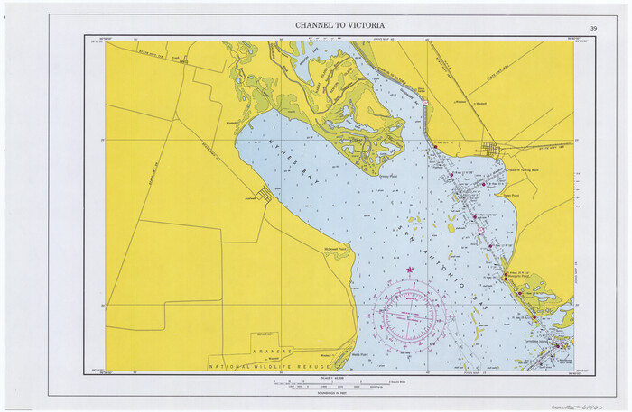

Print $20.00
- Digital $50.00
Maps of Gulf Intracoastal Waterway, Texas - Sabine River to the Rio Grande and connecting waterways including ship channels
1966
Size 14.5 x 22.2 inches
Map/Doc 61960
Bandera County Working Sketch 16d


Print $20.00
- Digital $50.00
Bandera County Working Sketch 16d
1941
Size 19.1 x 23.2 inches
Map/Doc 67612
Old Miscellaneous File 3
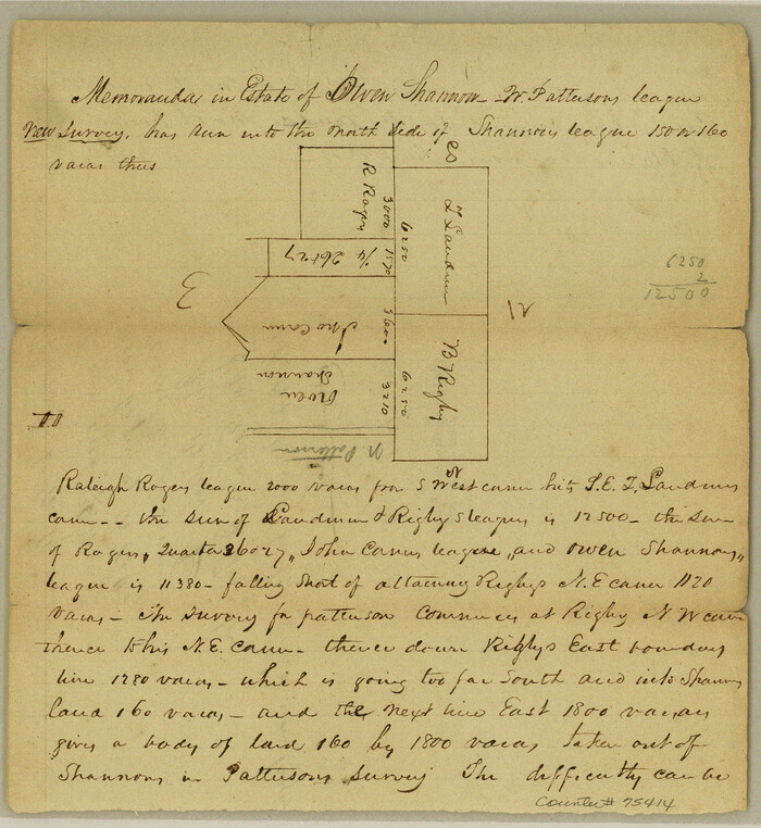

Print $4.00
- Digital $50.00
Old Miscellaneous File 3
1839
Size 8.8 x 8.2 inches
Map/Doc 75414
[Blocks 34-36, Township 1N]
![92031, [Blocks 34-36, Township 1N], Twichell Survey Records](https://historictexasmaps.com/wmedia_w700/maps/92031-1.tif.jpg)
![92031, [Blocks 34-36, Township 1N], Twichell Survey Records](https://historictexasmaps.com/wmedia_w700/maps/92031-1.tif.jpg)
Print $20.00
- Digital $50.00
[Blocks 34-36, Township 1N]
Size 36.8 x 23.8 inches
Map/Doc 92031
Travis County Appraisal District Plat Map 2_0404
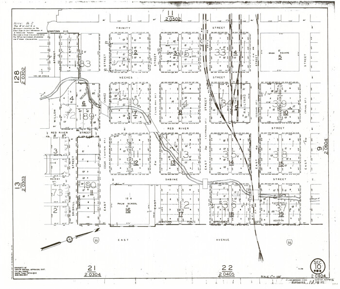

Print $20.00
- Digital $50.00
Travis County Appraisal District Plat Map 2_0404
Size 20.5 x 24.1 inches
Map/Doc 94228
Leagues 35, 36, 37, 38, 39, 40, 41, and 42]
![92236, Leagues 35, 36, 37, 38, 39, 40, 41, and 42], Twichell Survey Records](https://historictexasmaps.com/wmedia_w700/maps/92236-1.tif.jpg)
![92236, Leagues 35, 36, 37, 38, 39, 40, 41, and 42], Twichell Survey Records](https://historictexasmaps.com/wmedia_w700/maps/92236-1.tif.jpg)
Print $20.00
- Digital $50.00
Leagues 35, 36, 37, 38, 39, 40, 41, and 42]
Size 40.4 x 34.4 inches
Map/Doc 92236
San Patricio County Sketch File 32


Print $20.00
- Digital $50.00
San Patricio County Sketch File 32
Size 13.7 x 30.3 inches
Map/Doc 12287
