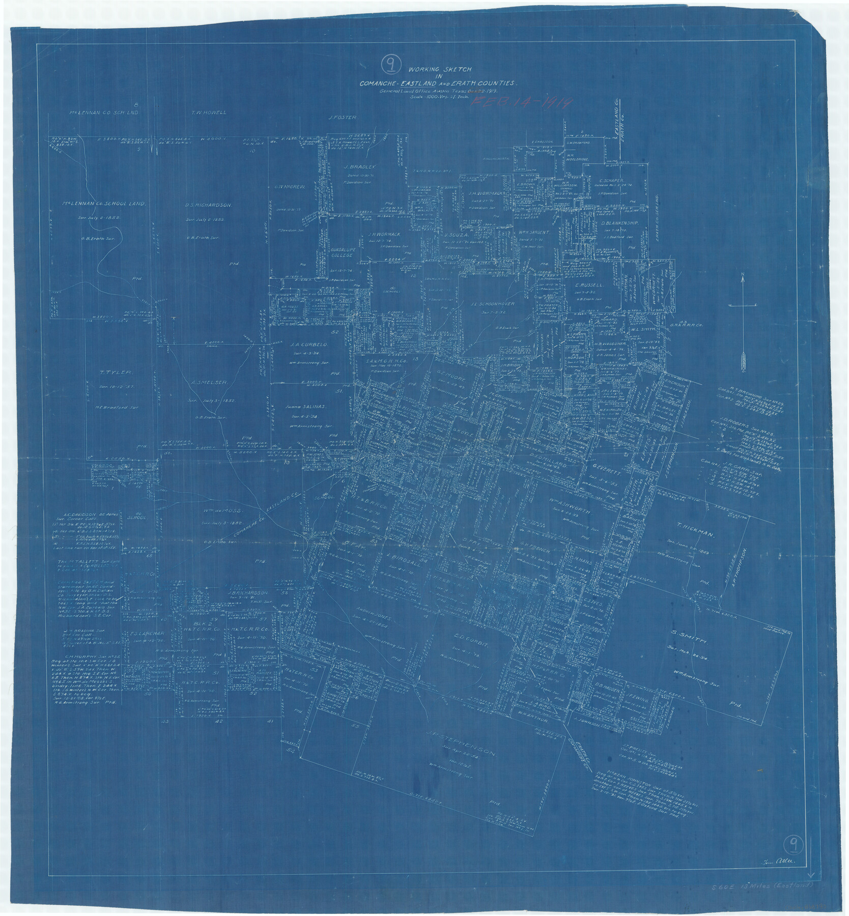
Eastland County Working Sketch 9
-
Map/Doc
68790
-
Collection
General Map Collection
-
Object Dates
2/14/1919 (Creation Date)
-
People and Organizations
Tom Atlee (Draftsman)
-
Counties
Eastland Comanche Erath
-
Subjects
Surveying Working Sketch
-
Height x Width
33.0 x 30.6 inches
83.8 x 77.7 cm
-
Scale
1" = 1000 varas
Part of: General Map Collection
Wise County Working Sketch 10

Print $20.00
- Digital $50.00
Wise County Working Sketch 10
Size 17.4 x 18.4 inches
Map/Doc 72624
San Patricio County Sketch File 44

Print $12.00
- Digital $50.00
San Patricio County Sketch File 44
1942
Size 11.4 x 8.9 inches
Map/Doc 36267
Garza County Rolled Sketch R1

Print $40.00
- Digital $50.00
Garza County Rolled Sketch R1
Size 32.1 x 49.3 inches
Map/Doc 9045
Kimble County Working Sketch 67

Print $20.00
- Digital $50.00
Kimble County Working Sketch 67
1965
Size 20.7 x 34.5 inches
Map/Doc 70135
Rockwall County Boundary File 10

Print $40.00
- Digital $50.00
Rockwall County Boundary File 10
Size 14.0 x 8.9 inches
Map/Doc 58439
Travis County Working Sketch 45

Print $20.00
- Digital $50.00
Travis County Working Sketch 45
1975
Size 33.6 x 28.7 inches
Map/Doc 69429
Flight Mission No. DAG-18K, Frame 180, Matagorda County

Print $20.00
- Digital $50.00
Flight Mission No. DAG-18K, Frame 180, Matagorda County
1952
Size 18.6 x 22.3 inches
Map/Doc 86372
Nueces County Sketch File 1

Print $24.00
- Digital $50.00
Nueces County Sketch File 1
1847
Size 7.6 x 12.5 inches
Map/Doc 32497
Engineer's Office, Department of the Gulf Map No. 59, Texas prepared by order of Maj. Gen. N. P. Banks under direction of Capt. P. C. Hains, U. S. Engr. & Chief Engr., Dept. of the Gulf

Print $20.00
- Digital $50.00
Engineer's Office, Department of the Gulf Map No. 59, Texas prepared by order of Maj. Gen. N. P. Banks under direction of Capt. P. C. Hains, U. S. Engr. & Chief Engr., Dept. of the Gulf
1865
Size 18.2 x 27.5 inches
Map/Doc 72716
Garza County Sketch File 32

Print $28.00
- Digital $50.00
Garza County Sketch File 32
1932
Size 8.9 x 14.3 inches
Map/Doc 24109
Presidio County Working Sketch 102

Print $20.00
- Digital $50.00
Presidio County Working Sketch 102
1980
Size 30.9 x 28.9 inches
Map/Doc 71779
Pecos County Working Sketch 120

Print $20.00
- Digital $50.00
Pecos County Working Sketch 120
1973
Size 34.7 x 29.1 inches
Map/Doc 71593
You may also like
Rand McNally Standard Map of Texas

Rand McNally Standard Map of Texas
1930
Size 34.6 x 28.0 inches
Map/Doc 2147
Crane County Sketch File 3c

Print $6.00
- Digital $50.00
Crane County Sketch File 3c
1884
Size 12.8 x 7.9 inches
Map/Doc 19559
Brewster County Sketch File FN-35

Print $8.00
- Digital $50.00
Brewster County Sketch File FN-35
1979
Size 14.2 x 8.9 inches
Map/Doc 15861
Seminole, Gaines County, Texas

Print $20.00
- Digital $50.00
Seminole, Gaines County, Texas
Size 25.6 x 39.0 inches
Map/Doc 92692
[Township 3 North, Block 33]
![91214, [Township 3 North, Block 33], Twichell Survey Records](https://historictexasmaps.com/wmedia_w700/maps/91214-1.tif.jpg)
Print $3.00
- Digital $50.00
[Township 3 North, Block 33]
Size 11.0 x 11.3 inches
Map/Doc 91214
Coke County Working Sketch 9

Print $20.00
- Digital $50.00
Coke County Working Sketch 9
1927
Size 23.9 x 30.3 inches
Map/Doc 68046
Famous Heights Addn. Amarillo, Texas

Print $2.00
- Digital $50.00
Famous Heights Addn. Amarillo, Texas
Size 8.3 x 9.8 inches
Map/Doc 91700
Morley's Map of New Mexico compiled from the latest government surveys and other reliable sources

Print $20.00
- Digital $50.00
Morley's Map of New Mexico compiled from the latest government surveys and other reliable sources
1873
Size 26.2 x 28.0 inches
Map/Doc 94052
Runnels County

Print $20.00
- Digital $50.00
Runnels County
1933
Size 43.7 x 31.1 inches
Map/Doc 16801
Orange County Rolled Sketch 29

Print $20.00
- Digital $50.00
Orange County Rolled Sketch 29
1960
Size 25.9 x 37.2 inches
Map/Doc 7187

