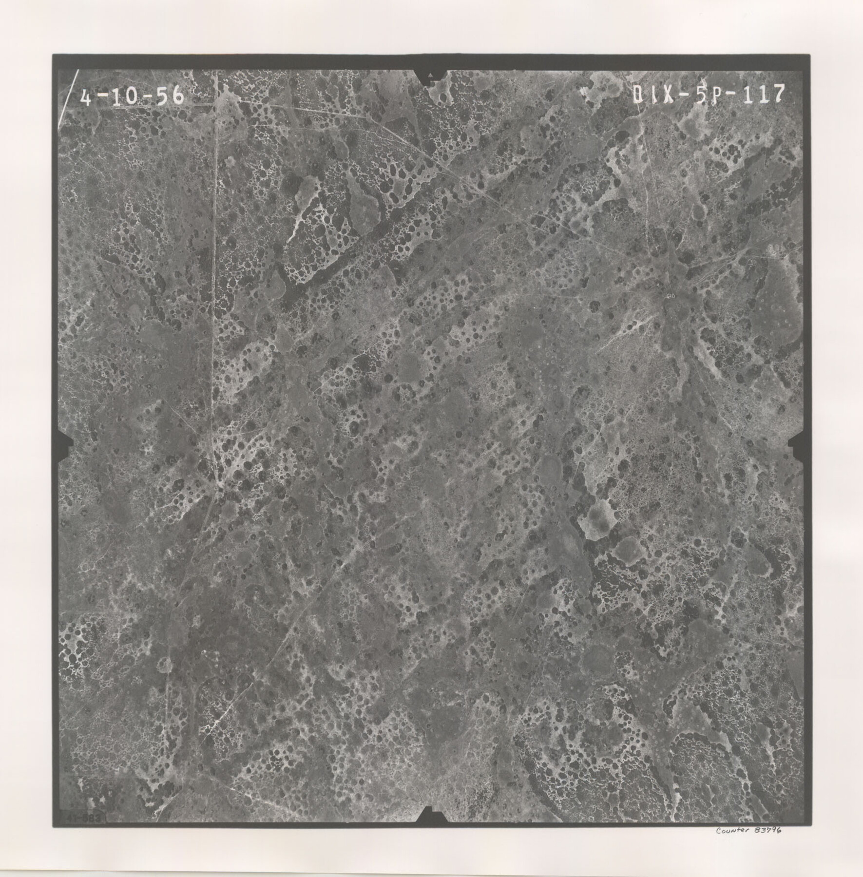
Flight Mission No. DIX-5P, Frame 117, Aransas County
DIX-5P-117
-
Map/Doc
83796
-
Collection
General Map Collection
-
Object Dates
1956/4/10 (Creation Date)
-
People and Organizations
U. S. Department of Agriculture (Publisher)
-
Counties
Aransas
-
Subjects
Aerial Photograph
-
Height x Width
18.0 x 17.7 inches
45.7 x 45.0 cm
-
Comments
Flown by V. L. Beavers and Associates of San Antonio, Texas.
Part of: General Map Collection
Plano de la Nueva España en que se señalan los Viages que hizo el Capitan Hernan Cortes assi antes como despues de conquistado el Imperio Mexicano

Print $20.00
- Digital $50.00
Plano de la Nueva España en que se señalan los Viages que hizo el Capitan Hernan Cortes assi antes como despues de conquistado el Imperio Mexicano
1769
Size 14.4 x 17.5 inches
Map/Doc 97352
Zapata County Rolled Sketch 16

Print $20.00
- Digital $50.00
Zapata County Rolled Sketch 16
1940
Size 30.3 x 19.4 inches
Map/Doc 8314
Polk County Boundary File 1

Print $24.00
- Digital $50.00
Polk County Boundary File 1
Size 12.6 x 8.0 inches
Map/Doc 57912
Red River County Sketch File 20

Print $4.00
- Digital $50.00
Red River County Sketch File 20
Size 8.2 x 10.1 inches
Map/Doc 35152
Sutton County Sketch File B

Print $20.00
- Digital $50.00
Sutton County Sketch File B
Size 17.1 x 22.2 inches
Map/Doc 12395
Angelina County Working Sketch 32b

Print $20.00
- Digital $50.00
Angelina County Working Sketch 32b
1955
Size 23.0 x 28.6 inches
Map/Doc 67115
Wood County Rolled Sketch 2

Print $40.00
- Digital $50.00
Wood County Rolled Sketch 2
1941
Size 52.6 x 24.9 inches
Map/Doc 10160
Houston County Working Sketch 1

Print $20.00
- Digital $50.00
Houston County Working Sketch 1
Size 20.6 x 15.6 inches
Map/Doc 66231
Angelina County Working Sketch 58

Print $20.00
- Digital $50.00
Angelina County Working Sketch 58
2006
Size 24.1 x 36.0 inches
Map/Doc 83608
Soil Map - Reconnoissance Survey - South Texas Sheet

Print $20.00
- Digital $50.00
Soil Map - Reconnoissance Survey - South Texas Sheet
1909
Size 28.6 x 37.8 inches
Map/Doc 97267
Gillespie County Working Sketch 2

Print $20.00
- Digital $50.00
Gillespie County Working Sketch 2
1958
Size 35.9 x 26.0 inches
Map/Doc 63165
Sabine and Neches Rivers

Print $20.00
- Digital $50.00
Sabine and Neches Rivers
Size 19.6 x 43.7 inches
Map/Doc 94444
You may also like
Tyler County Sketch File 20

Print $6.00
- Digital $50.00
Tyler County Sketch File 20
1851
Size 6.9 x 5.8 inches
Map/Doc 38674
Hardin County Sketch File 14

Print $4.00
- Digital $50.00
Hardin County Sketch File 14
1866
Size 13.0 x 8.0 inches
Map/Doc 25120
Gregg County Boundary File 7

Print $20.00
- Digital $50.00
Gregg County Boundary File 7
Size 5.2 x 8.6 inches
Map/Doc 54009
Hutchinson County Rolled Sketch 44-17

Print $20.00
- Digital $50.00
Hutchinson County Rolled Sketch 44-17
2002
Size 24.0 x 36.0 inches
Map/Doc 77553
Dallas County Sketch File 17

Print $20.00
- Digital $50.00
Dallas County Sketch File 17
Size 17.1 x 18.0 inches
Map/Doc 11285
Presidio County Rolled Sketch 131A

Print $20.00
- Digital $50.00
Presidio County Rolled Sketch 131A
Size 17.5 x 14.1 inches
Map/Doc 10707
Kimble County Working Sketch 83

Print $20.00
- Digital $50.00
Kimble County Working Sketch 83
1971
Size 31.3 x 31.1 inches
Map/Doc 70151
Galveston Harbor and Channel, Texas Rehabilitation of South Jetty, Comparison of Shorelines and Offshore Contours 1890 to 1960

Print $20.00
- Digital $50.00
Galveston Harbor and Channel, Texas Rehabilitation of South Jetty, Comparison of Shorelines and Offshore Contours 1890 to 1960
1961
Size 31.6 x 41.8 inches
Map/Doc 61827
Map of Winkler County

Print $20.00
- Digital $50.00
Map of Winkler County
1900
Size 42.4 x 38.6 inches
Map/Doc 16931
Hutchinson County Sketch File 14

Print $20.00
- Digital $50.00
Hutchinson County Sketch File 14
1920
Size 21.5 x 33.8 inches
Map/Doc 11812
Brewster County Working Sketch 13

Print $20.00
- Digital $50.00
Brewster County Working Sketch 13
1928
Size 39.5 x 43.9 inches
Map/Doc 67546
Terrell County

Print $20.00
- Digital $50.00
Terrell County
1905
Size 41.6 x 30.9 inches
Map/Doc 63061