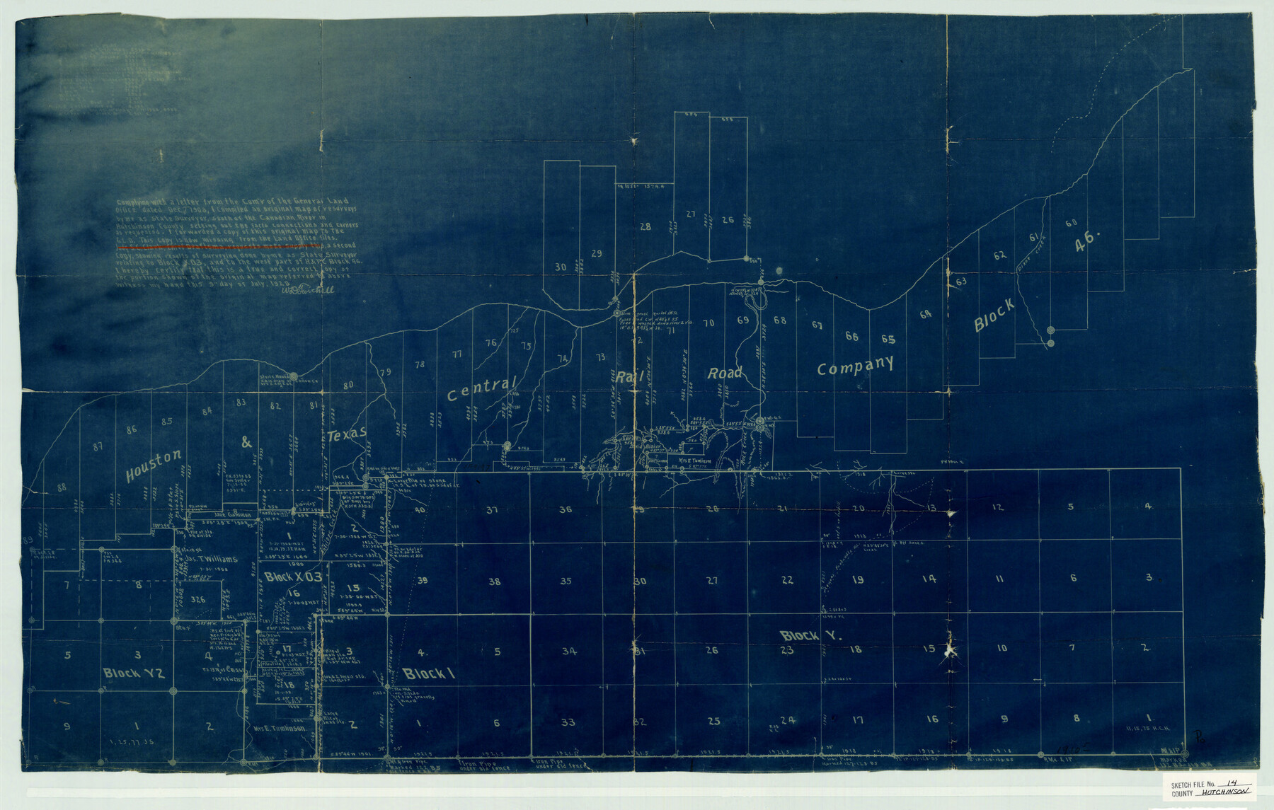
Hutchinson County Sketch File 14
South of Canadian River
-
Map/Doc
11812
-
Collection
General Map Collection
-
Object Dates
7/9/1920 (Creation Date)
-
People and Organizations
W.D. Twichell (Surveyor/Engineer)
-
Counties
Hutchinson
-
Subjects
Surveying Sketch File
-
Height x Width
21.5 x 33.8 inches
54.6 x 85.9 cm
-
Medium
blueprint/diazo
-
Features
Dixon Creek
Canadian River
Antilope [sic] Creek
Plemons Panhandle Road
Part of: General Map Collection
Presidio County Working Sketch 84

Print $20.00
- Digital $50.00
Presidio County Working Sketch 84
1970
Size 20.7 x 17.8 inches
Map/Doc 71761
Upshur County Rolled Sketch 1

Print $40.00
- Digital $50.00
Upshur County Rolled Sketch 1
1953
Size 50.2 x 44.7 inches
Map/Doc 10298
Terry County Boundary File 1

Print $4.00
- Digital $50.00
Terry County Boundary File 1
Size 11.6 x 9.0 inches
Map/Doc 59202
Flight Mission No. DIX-5P, Frame 114, Aransas County

Print $20.00
- Digital $50.00
Flight Mission No. DIX-5P, Frame 114, Aransas County
1956
Size 17.4 x 17.6 inches
Map/Doc 83793
Taylor County Sketch File A

Print $2.00
- Digital $50.00
Taylor County Sketch File A
Size 8.8 x 11.3 inches
Map/Doc 37773
Gregg County Rolled Sketch JE

Print $94.00
- Digital $50.00
Gregg County Rolled Sketch JE
1931
Size 30.9 x 42.9 inches
Map/Doc 9023
Aransas County Rolled Sketch 2

Print $40.00
- Digital $50.00
Aransas County Rolled Sketch 2
1950
Size 54.7 x 50.5 inches
Map/Doc 73612
Moore County Working Sketch 1

Print $20.00
- Digital $50.00
Moore County Working Sketch 1
1909
Size 32.0 x 32.4 inches
Map/Doc 71183
Township No. 5 South Range No. 15 West, Indian Meridian, Oklahoma

Print $4.00
- Digital $50.00
Township No. 5 South Range No. 15 West, Indian Meridian, Oklahoma
1927
Size 18.2 x 23.9 inches
Map/Doc 75136
Hays County Working Sketch 12

Print $20.00
- Digital $50.00
Hays County Working Sketch 12
1950
Size 22.8 x 24.3 inches
Map/Doc 66086
Denton County Working Sketch 27

Print $20.00
- Digital $50.00
Denton County Working Sketch 27
1996
Size 41.3 x 35.3 inches
Map/Doc 68632

You may also like
Kimble County Sketch File 28

Print $20.00
- Digital $50.00
Kimble County Sketch File 28
Size 23.3 x 17.8 inches
Map/Doc 11927
Midland County Rolled Sketch 2

Print $20.00
- Digital $50.00
Midland County Rolled Sketch 2
1949
Size 39.3 x 36.5 inches
Map/Doc 9513
Tarrant County Sketch File 5

Print $4.00
- Digital $50.00
Tarrant County Sketch File 5
1859
Size 14.5 x 8.1 inches
Map/Doc 37680
Hudspeth County Rolled Sketch 63

Print $20.00
- Digital $50.00
Hudspeth County Rolled Sketch 63
Size 41.8 x 47.9 inches
Map/Doc 9227
[G. C. & S. 35, Part of H. & T. C. 49, Capitol Leagues 217, 218, 223, 224, 225]
![90687, [G. C. & S. 35, Part of H. & T. C. 49, Capitol Leagues 217, 218, 223, 224, 225], Twichell Survey Records](https://historictexasmaps.com/wmedia_w700/maps/90687-1.tif.jpg)
Print $3.00
- Digital $50.00
[G. C. & S. 35, Part of H. & T. C. 49, Capitol Leagues 217, 218, 223, 224, 225]
1903
Size 12.4 x 11.0 inches
Map/Doc 90687
Jackson County

Print $20.00
- Digital $50.00
Jackson County
1920
Size 46.9 x 40.1 inches
Map/Doc 95541
Bexar County Sketch File 42

Print $4.00
- Digital $50.00
Bexar County Sketch File 42
1882
Size 10.6 x 8.7 inches
Map/Doc 14518
[Surveys along Neils and Turkey Creeks]
![69761, [Surveys along Neils and Turkey Creeks], General Map Collection](https://historictexasmaps.com/wmedia_w700/maps/69761.tif.jpg)
Print $2.00
- Digital $50.00
[Surveys along Neils and Turkey Creeks]
1846
Size 10.8 x 7.9 inches
Map/Doc 69761
Upton County Rolled Sketch 43

Print $40.00
- Digital $50.00
Upton County Rolled Sketch 43
Size 27.1 x 54.2 inches
Map/Doc 10057
Killian Subdivision of the Northeast Portion of Section 42, Block AK

Print $20.00
- Digital $50.00
Killian Subdivision of the Northeast Portion of Section 42, Block AK
Size 15.9 x 14.1 inches
Map/Doc 92267
[San Antonio & Aransas Pass R.R. Right of Way from Eagle Lake to Brazos River]
![64256, [San Antonio & Aransas Pass R.R. Right of Way from Eagle Lake to Brazos River], General Map Collection](https://historictexasmaps.com/wmedia_w700/maps/64256.tif.jpg)
Print $40.00
- Digital $50.00
[San Antonio & Aransas Pass R.R. Right of Way from Eagle Lake to Brazos River]
1895
Size 30.8 x 124.9 inches
Map/Doc 64256
Wichita County Sketch File 35

Print $8.00
- Digital $50.00
Wichita County Sketch File 35
1950
Size 14.3 x 8.5 inches
Map/Doc 40157