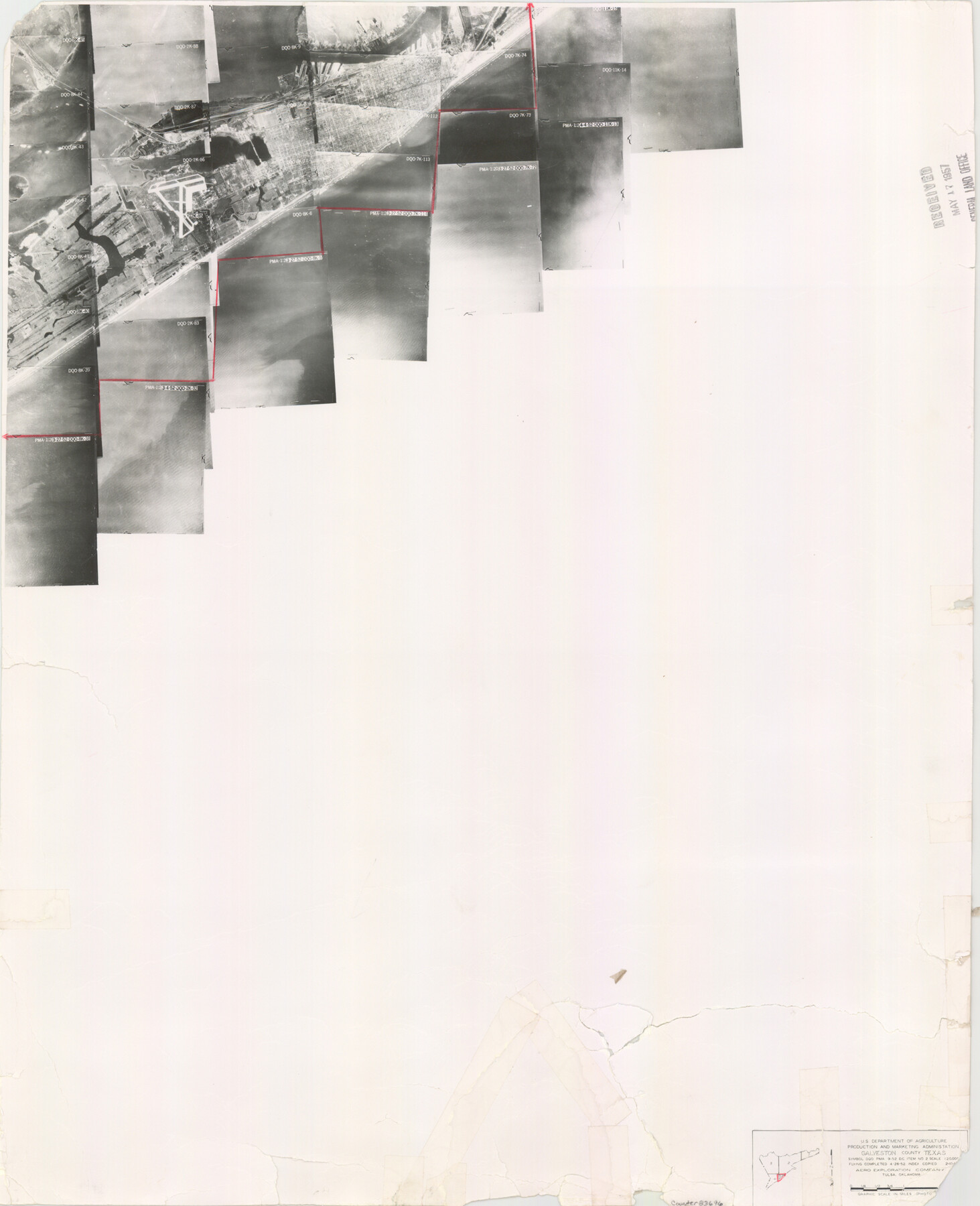
Galveston County Aerial Photograph Index Sheet 5
Galveston County Aerial Photograph Index 5
-
Map/Doc
83696
-
Collection
General Map Collection
-
Object Dates
1953/2/10 (Creation Date)
-
People and Organizations
U. S. Department of Agriculture (Publisher)
-
Counties
Galveston
-
Subjects
Aerial Photograph
-
Height x Width
23.1 x 18.8 inches
58.7 x 47.8 cm
-
Comments
Flying completed April 26, 1952 by Aero Exploration Company of Tulsa, Oklahoma.
Received in office May 17, 1957.
Part of: General Map Collection
Webb County Sketch File 25

Print $20.00
- Digital $50.00
Webb County Sketch File 25
1936
Size 18.2 x 30.7 inches
Map/Doc 12639
Leon County Working Sketch 60

Print $20.00
- Digital $50.00
Leon County Working Sketch 60
2005
Size 20.7 x 31.3 inches
Map/Doc 83575
Louisiana and Texas Intracoastal Waterway, Sabine River Galveston Bay Section Survey

Print $20.00
- Digital $50.00
Louisiana and Texas Intracoastal Waterway, Sabine River Galveston Bay Section Survey
1927
Size 30.7 x 43.0 inches
Map/Doc 61838
Edwards County

Print $40.00
- Digital $50.00
Edwards County
1900
Size 56.7 x 36.3 inches
Map/Doc 87470
Terry County Rolled Sketch 9

Print $20.00
- Digital $50.00
Terry County Rolled Sketch 9
Size 23.8 x 23.9 inches
Map/Doc 7983
Crosby County Sketch File 24

Print $4.00
- Digital $50.00
Crosby County Sketch File 24
Size 7.3 x 8.8 inches
Map/Doc 20091
Brewster County Rolled Sketch B

Print $40.00
- Digital $50.00
Brewster County Rolled Sketch B
1882
Size 67.4 x 37.7 inches
Map/Doc 8465
Tyler County Working Sketch 6

Print $20.00
- Digital $50.00
Tyler County Working Sketch 6
1934
Size 24.3 x 36.5 inches
Map/Doc 69476
Photo Index of Texas Coast - Sheet 3 of 6

Print $20.00
- Digital $50.00
Photo Index of Texas Coast - Sheet 3 of 6
1954
Size 20.0 x 24.0 inches
Map/Doc 83441
Yoakum County Sketch File 18

Print $24.00
- Digital $50.00
Yoakum County Sketch File 18
1898
Size 11.5 x 9.0 inches
Map/Doc 40820
Victoria County

Print $20.00
- Digital $50.00
Victoria County
1858
Size 26.5 x 29.2 inches
Map/Doc 4115
Coke County Sketch File AB

Print $12.00
- Digital $50.00
Coke County Sketch File AB
1884
Size 14.1 x 8.7 inches
Map/Doc 18608
You may also like
Trinity County Sketch File 5b

Print $4.00
- Digital $50.00
Trinity County Sketch File 5b
1855
Size 12.6 x 8.0 inches
Map/Doc 38506
Flight Mission No. DQN-5K, Frame 80, Calhoun County

Print $20.00
- Digital $50.00
Flight Mission No. DQN-5K, Frame 80, Calhoun County
1953
Size 18.5 x 22.1 inches
Map/Doc 84413
Fayette County Working Sketch 1

Print $20.00
- Digital $50.00
Fayette County Working Sketch 1
1949
Size 25.4 x 18.0 inches
Map/Doc 69165
Brooks County Working Sketch 8

Print $20.00
- Digital $50.00
Brooks County Working Sketch 8
1928
Size 27.6 x 23.3 inches
Map/Doc 67792
Gaines County Sketch

Print $20.00
- Digital $50.00
Gaines County Sketch
Size 9.7 x 18.5 inches
Map/Doc 92668
Smith County Sketch File 7

Print $4.00
- Digital $50.00
Smith County Sketch File 7
1848
Size 12.7 x 8.2 inches
Map/Doc 36759
Brewster County Rolled Sketch 83A

Print $40.00
- Digital $50.00
Brewster County Rolled Sketch 83A
1946
Size 43.0 x 49.5 inches
Map/Doc 8930
Flight Mission No. BRA-16M, Frame 100, Jefferson County

Print $20.00
- Digital $50.00
Flight Mission No. BRA-16M, Frame 100, Jefferson County
1953
Size 18.4 x 19.2 inches
Map/Doc 85712

Map of Texas Coast from San Luis to Jupiter

Print $40.00
- Digital $50.00
Map of Texas Coast from San Luis to Jupiter
1852
Size 31.3 x 74.7 inches
Map/Doc 69975
Potter County Working Sketch Graphic Index

Print $20.00
- Digital $50.00
Potter County Working Sketch Graphic Index
1960
Size 42.3 x 33.1 inches
Map/Doc 76669
Travis County Sketch File 55

Print $20.00
- Digital $50.00
Travis County Sketch File 55
1945
Size 27.3 x 14.5 inches
Map/Doc 12471