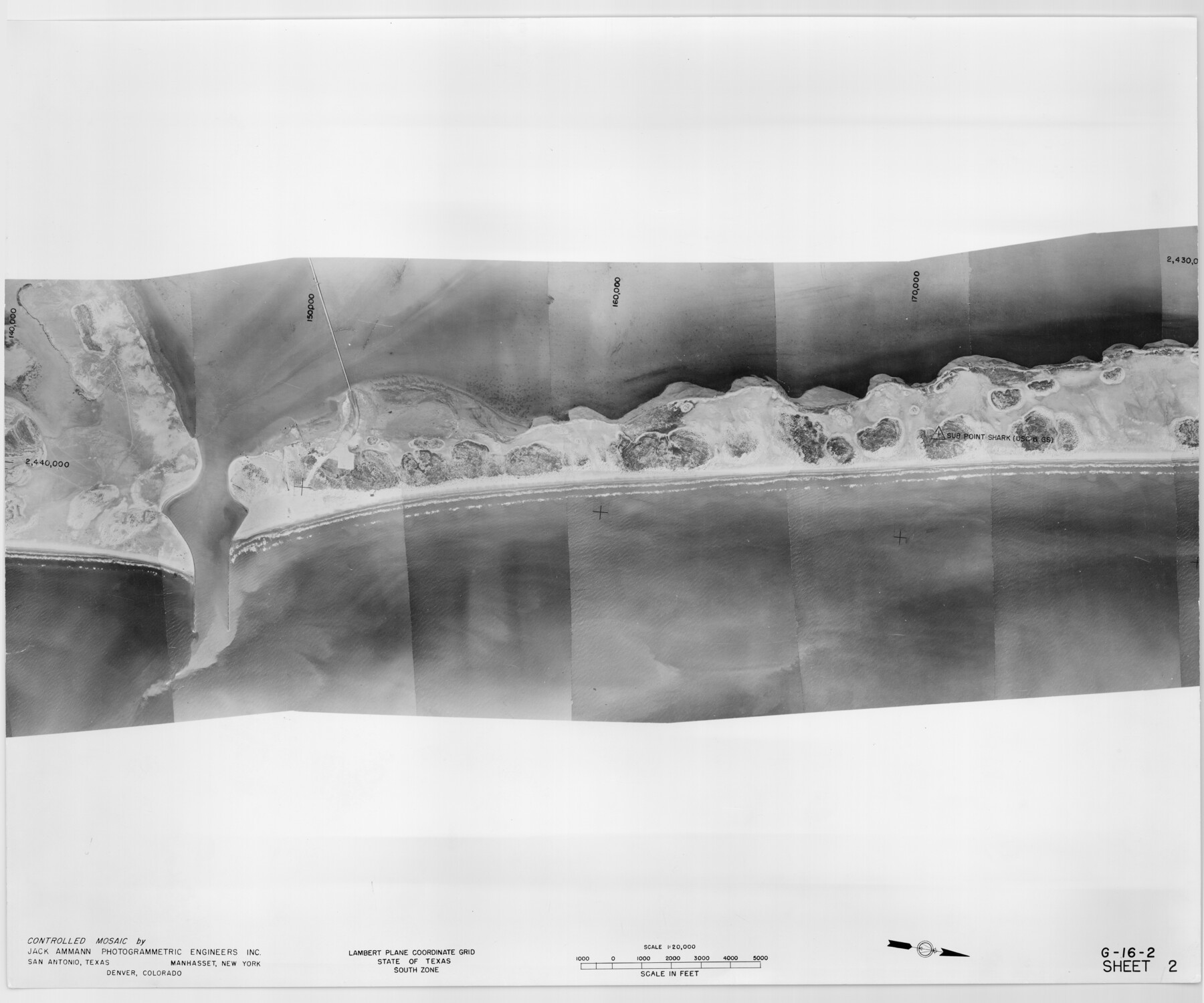
Controlled Mosaic by Jack Amman Photogrammetric Engineers, Inc - Sheet 2
[Coastal Aerial Photograph]
G-16-2
-
Map/Doc
83446
-
Collection
General Map Collection
-
Object Dates
1954 (Creation Date)
-
Subjects
Aerial Photograph
-
Height x Width
20.0 x 24.0 inches
50.8 x 61.0 cm
-
Comments
Statement on reverse side: "The reverse reflects the data shown thereon which was obtained by aerial survey made from December 31, 1953 to March 17, 1954 by Jack Ammann Photogrammetric Engineers, Inc."
Part of: General Map Collection
Culberson County Rolled Sketch 58

Print $40.00
- Digital $50.00
Culberson County Rolled Sketch 58
1979
Size 37.8 x 52.6 inches
Map/Doc 8759
Map of the State of Texas engraved to illustrate Mitchell's school and family geography

Print $20.00
- Digital $50.00
Map of the State of Texas engraved to illustrate Mitchell's school and family geography
1846
Size 11.8 x 9.5 inches
Map/Doc 93498
Supreme Court of the United States, October Term, 1923, No. 15, Original - The State of Oklahoma, Complainant vs. The State of Texas, Defendant, The United States, Intervener; Report of the Boundary Commissioners

Print $20.00
- Digital $50.00
Supreme Court of the United States, October Term, 1923, No. 15, Original - The State of Oklahoma, Complainant vs. The State of Texas, Defendant, The United States, Intervener; Report of the Boundary Commissioners
1923
Size 34.4 x 40.6 inches
Map/Doc 75120
Brooks County Boundary File 1c

Print $40.00
- Digital $50.00
Brooks County Boundary File 1c
Size 63.4 x 6.7 inches
Map/Doc 50838
[Northern Bexar District]
![1963, [Northern Bexar District], General Map Collection](https://historictexasmaps.com/wmedia_w700/maps/1963-1.tif.jpg)
Print $20.00
- Digital $50.00
[Northern Bexar District]
1852
Size 46.0 x 26.5 inches
Map/Doc 1963
Flight Mission No. BQY-4M, Frame 58, Harris County

Print $20.00
- Digital $50.00
Flight Mission No. BQY-4M, Frame 58, Harris County
1953
Size 18.5 x 22.3 inches
Map/Doc 85267
San Patricio County Boundary File 77

Digital $50.00
San Patricio County Boundary File 77
Map/Doc 81963
Lubbock County Boundary File 8

Print $46.00
- Digital $50.00
Lubbock County Boundary File 8
Size 7.3 x 8.7 inches
Map/Doc 56525
Motley County Sketch File 20 (N)

Print $6.00
- Digital $50.00
Motley County Sketch File 20 (N)
1943
Size 11.3 x 8.8 inches
Map/Doc 32066
Map of the Interior of Louisiana with a part of New Mexico

Print $20.00
- Digital $50.00
Map of the Interior of Louisiana with a part of New Mexico
1813
Size 11.9 x 15.7 inches
Map/Doc 94460
Colorado County Sketch File 31

Print $4.00
- Digital $50.00
Colorado County Sketch File 31
1838
Size 12.8 x 7.8 inches
Map/Doc 18984
Nueces County Rolled Sketch 44

Print $40.00
- Digital $50.00
Nueces County Rolled Sketch 44
1948
Size 40.0 x 60.8 inches
Map/Doc 9602
You may also like
Sherman County

Print $20.00
- Digital $50.00
Sherman County
1889
Size 22.3 x 19.0 inches
Map/Doc 4036
Maps of Gulf Intracoastal Waterway, Texas - Sabine River to the Rio Grande and connecting waterways including ship channels

Print $20.00
- Digital $50.00
Maps of Gulf Intracoastal Waterway, Texas - Sabine River to the Rio Grande and connecting waterways including ship channels
1966
Size 14.6 x 22.3 inches
Map/Doc 61965
Presidio County Sketch File 53

Print $24.00
- Digital $50.00
Presidio County Sketch File 53
1928
Size 16.6 x 8.8 inches
Map/Doc 34610
Hudspeth County Rolled Sketch 64

Print $40.00
- Digital $50.00
Hudspeth County Rolled Sketch 64
1986
Size 39.1 x 81.9 inches
Map/Doc 9228
English Field Notes of the Spanish Archives - Books JMH, MCMCHB, TGI

English Field Notes of the Spanish Archives - Books JMH, MCMCHB, TGI
1835
Map/Doc 96547
Victoria County Sketch File 3

Print $7.00
- Digital $50.00
Victoria County Sketch File 3
1876
Size 10.1 x 8.2 inches
Map/Doc 39514
Galveston Bay Entrance

Print $20.00
- Digital $50.00
Galveston Bay Entrance
1953
Size 26.1 x 42.2 inches
Map/Doc 69860
Presidio County Rolled Sketch 131A

Print $20.00
- Digital $50.00
Presidio County Rolled Sketch 131A
Size 17.7 x 11.9 inches
Map/Doc 10710
Tom Green County Sketch File 72

Print $20.00
- Digital $50.00
Tom Green County Sketch File 72
1949
Size 24.3 x 28.5 inches
Map/Doc 12448
Karnes County Working Sketch 3

Print $20.00
- Digital $50.00
Karnes County Working Sketch 3
1943
Size 34.6 x 31.4 inches
Map/Doc 66651
[Capitol Leagues 225-238]
![90676, [Capitol Leagues 225-238], Twichell Survey Records](https://historictexasmaps.com/wmedia_w700/maps/90676-1.tif.jpg)
Print $20.00
- Digital $50.00
[Capitol Leagues 225-238]
Size 23.1 x 13.6 inches
Map/Doc 90676
Galveston County Sketch File 2

Print $2.00
- Digital $50.00
Galveston County Sketch File 2
1845
Size 8.3 x 11.1 inches
Map/Doc 23349