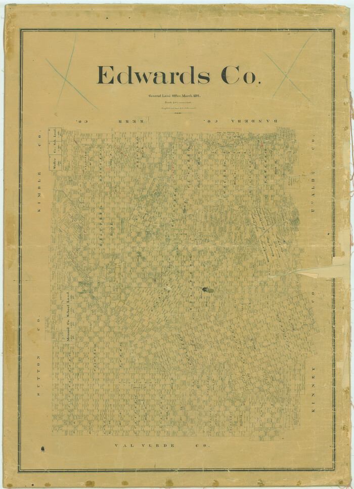
[Northern Bexar District]
K-5-10
-
Map/Doc
1963
-
Collection
General Map Collection
-
Object Dates
[1852] (Creation Date)
-
People and Organizations
[J.G. McDonald] (Surveyor/Engineer)
-
Subjects
District
-
Height x Width
46.0 x 26.5 inches
116.8 x 67.3 cm
Part of: General Map Collection
Dawson County Sketch File 20


Print $20.00
- Digital $50.00
Dawson County Sketch File 20
1951
Size 13.2 x 21.5 inches
Map/Doc 11296
No. 1 - Survey for a road from the Brazo Santiago to the Rio Grande
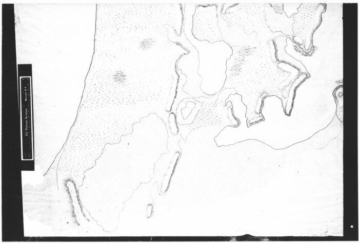

Print $20.00
- Digital $50.00
No. 1 - Survey for a road from the Brazo Santiago to the Rio Grande
1847
Size 18.3 x 27.1 inches
Map/Doc 72876
Blanco County Sketch File 23
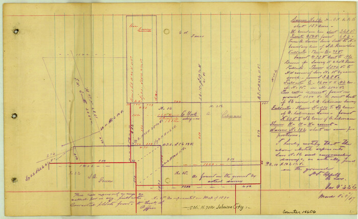

Print $16.00
- Digital $50.00
Blanco County Sketch File 23
1887
Size 8.7 x 14.1 inches
Map/Doc 14606
Sterling County Sketch File 14
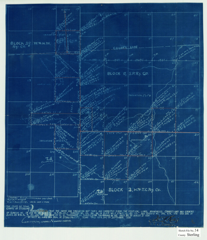

Print $20.00
- Digital $50.00
Sterling County Sketch File 14
Size 18.9 x 16.4 inches
Map/Doc 12360
Brazos Island Harbor, Texas - Dredging Entrance Channel Plan


Print $20.00
- Digital $50.00
Brazos Island Harbor, Texas - Dredging Entrance Channel Plan
1990
Size 14.6 x 20.0 inches
Map/Doc 83337
Corpus Christi Pass, Texas
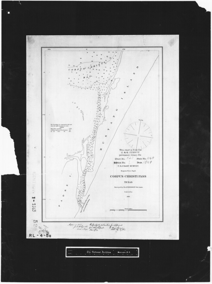

Print $20.00
- Digital $50.00
Corpus Christi Pass, Texas
1869
Size 24.3 x 18.2 inches
Map/Doc 72965
Controlled Mosaic by Jack Amman Photogrammetric Engineers, Inc - Sheet 38
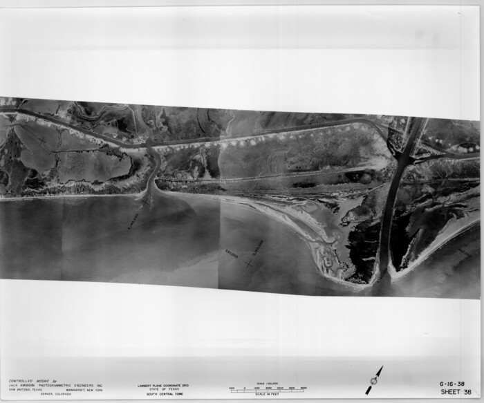

Print $20.00
- Digital $50.00
Controlled Mosaic by Jack Amman Photogrammetric Engineers, Inc - Sheet 38
1954
Size 20.0 x 24.0 inches
Map/Doc 83493
Dawson County Rolled Sketch 10
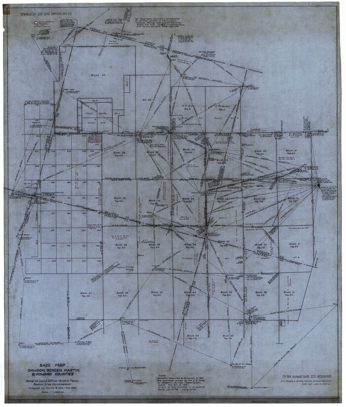

Print $20.00
- Digital $50.00
Dawson County Rolled Sketch 10
1954
Size 44.5 x 37.9 inches
Map/Doc 8774
Crockett County Sketch File 80
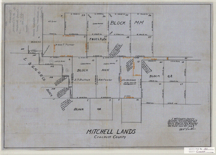

Print $20.00
- Digital $50.00
Crockett County Sketch File 80
1939
Size 13.5 x 18.8 inches
Map/Doc 11236
Zavala County Working Sketch 25
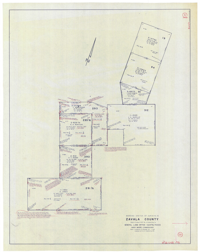

Print $20.00
- Digital $50.00
Zavala County Working Sketch 25
1984
Size 37.7 x 30.0 inches
Map/Doc 62100
Matagorda County Sketch File 24


Print $10.00
- Digital $50.00
Matagorda County Sketch File 24
1900
Size 8.2 x 5.1 inches
Map/Doc 30787
Armstrong County Working Sketch 8
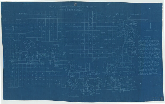

Print $20.00
- Digital $50.00
Armstrong County Working Sketch 8
1902
Size 25.4 x 40.2 inches
Map/Doc 67239
You may also like
[Map of the Fort Worth & Denver City Railway]
![64433, [Map of the Fort Worth & Denver City Railway], General Map Collection](https://historictexasmaps.com/wmedia_w700/maps/64433.tif.jpg)
![64433, [Map of the Fort Worth & Denver City Railway], General Map Collection](https://historictexasmaps.com/wmedia_w700/maps/64433.tif.jpg)
Print $40.00
- Digital $50.00
[Map of the Fort Worth & Denver City Railway]
1887
Size 22.2 x 110.1 inches
Map/Doc 64433
Coryell County Working Sketch 27
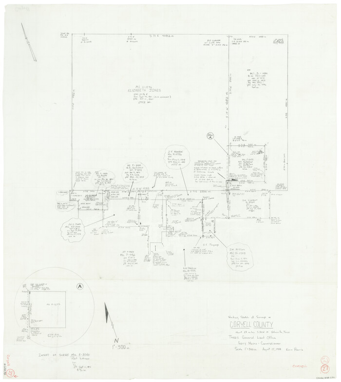

Print $20.00
- Digital $50.00
Coryell County Working Sketch 27
1988
Size 15.5 x 20.0 inches
Map/Doc 68234
Gulf of Mexico


Print $20.00
- Digital $50.00
Gulf of Mexico
1900
Size 18.2 x 28.1 inches
Map/Doc 72647
Darrington Plantation of the Texas Prison System, Brazoria County


Print $20.00
- Digital $50.00
Darrington Plantation of the Texas Prison System, Brazoria County
Size 16.9 x 37.4 inches
Map/Doc 62986
[Texas and Pacific Railway Company, Block 44, Township One South]
![89846, [Texas and Pacific Railway Company, Block 44, Township One South], Twichell Survey Records](https://historictexasmaps.com/wmedia_w700/maps/89846-1.tif.jpg)
![89846, [Texas and Pacific Railway Company, Block 44, Township One South], Twichell Survey Records](https://historictexasmaps.com/wmedia_w700/maps/89846-1.tif.jpg)
Print $40.00
- Digital $50.00
[Texas and Pacific Railway Company, Block 44, Township One South]
1912
Size 41.1 x 56.4 inches
Map/Doc 89846
Map of Texas compiled from surveys included in the General Land Office


Print $20.00
- Digital $50.00
Map of Texas compiled from surveys included in the General Land Office
1851
Size 31.4 x 25.3 inches
Map/Doc 94417
Blanco County Working Sketch 1


Print $20.00
- Digital $50.00
Blanco County Working Sketch 1
Size 31.1 x 17.4 inches
Map/Doc 76449
Williamson County Boundary File 1

Print $66.00
- Digital $50.00
Williamson County Boundary File 1
Size 8.4 x 6.0 inches
Map/Doc 59974
Ellis Addition to the City of Lubbock, Being a Subdivision of a Part of the SW/4 of SW/4 Sec. 4, Blk. A


Print $3.00
- Digital $50.00
Ellis Addition to the City of Lubbock, Being a Subdivision of a Part of the SW/4 of SW/4 Sec. 4, Blk. A
1952
Size 9.4 x 11.9 inches
Map/Doc 92709
Crockett County Sketch File 15


Print $24.00
- Digital $50.00
Crockett County Sketch File 15
1880
Size 9.1 x 8.0 inches
Map/Doc 19666
Rio Grande Rectification Project, El Paso and Juarez Valley
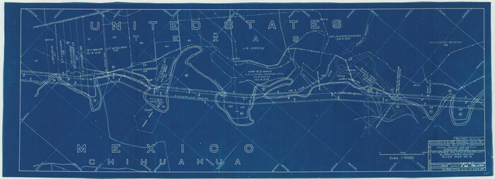

Print $20.00
- Digital $50.00
Rio Grande Rectification Project, El Paso and Juarez Valley
1935
Size 10.7 x 29.6 inches
Map/Doc 60865
![1963, [Northern Bexar District], General Map Collection](https://historictexasmaps.com/wmedia_w1800h1800/maps/1963-1.tif.jpg)
