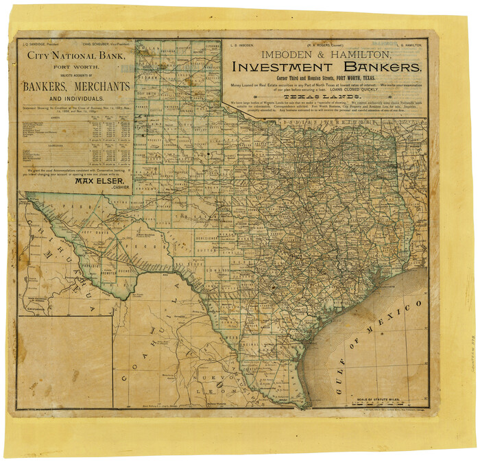
[Wm. Lewis No. 254 and Surrounding Surveys, Aransas County, Texas]
-
Map/Doc
82557
-
Collection
Maddox Collection
-
Counties
Aransas
-
Height x Width
18.8 x 35.2 inches
47.8 x 89.4 cm
-
Medium
paper, manuscript
Part of: Maddox Collection
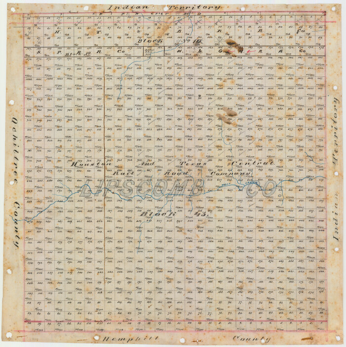
Lipscomb County, Texas

Print $20.00
- Digital $50.00
Lipscomb County, Texas
1880
Size 16.5 x 18.2 inches
Map/Doc 489
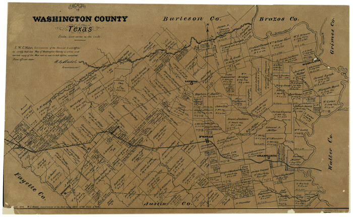
Map of Washington County, Texas

Print $20.00
- Digital $50.00
Map of Washington County, Texas
1879
Size 14.4 x 21.6 inches
Map/Doc 765
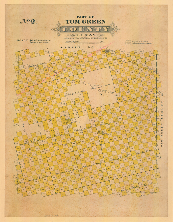
Part of Tom Green County, Texas (No. 2)

Print $20.00
- Digital $50.00
Part of Tom Green County, Texas (No. 2)
1870
Size 22.9 x 18.0 inches
Map/Doc 5046
Map of Falls County, Texas
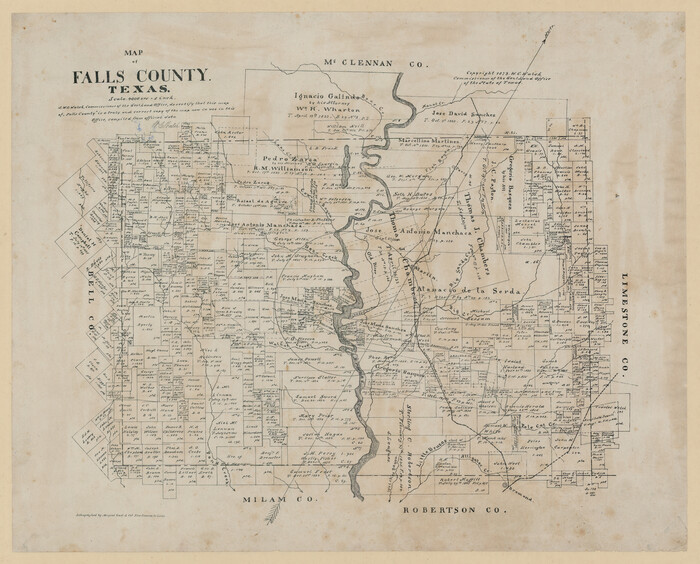

Print $20.00
- Digital $50.00
Map of Falls County, Texas
1879
Size 19.4 x 23.0 inches
Map/Doc 724
[El Javali Grant,] Sketch of 2560 acres of land in Starr County
![474, [El Javali Grant,] Sketch of 2560 acres of land in Starr County, Maddox Collection](https://historictexasmaps.com/wmedia_w700/maps/0474.tif.jpg)
![474, [El Javali Grant,] Sketch of 2560 acres of land in Starr County, Maddox Collection](https://historictexasmaps.com/wmedia_w700/maps/0474.tif.jpg)
Print $20.00
- Digital $50.00
[El Javali Grant,] Sketch of 2560 acres of land in Starr County
Size 13.4 x 14.0 inches
Map/Doc 474
Map of Block 1, H. & G. N. R. R. Co., Dickens and Kent Counties Texas
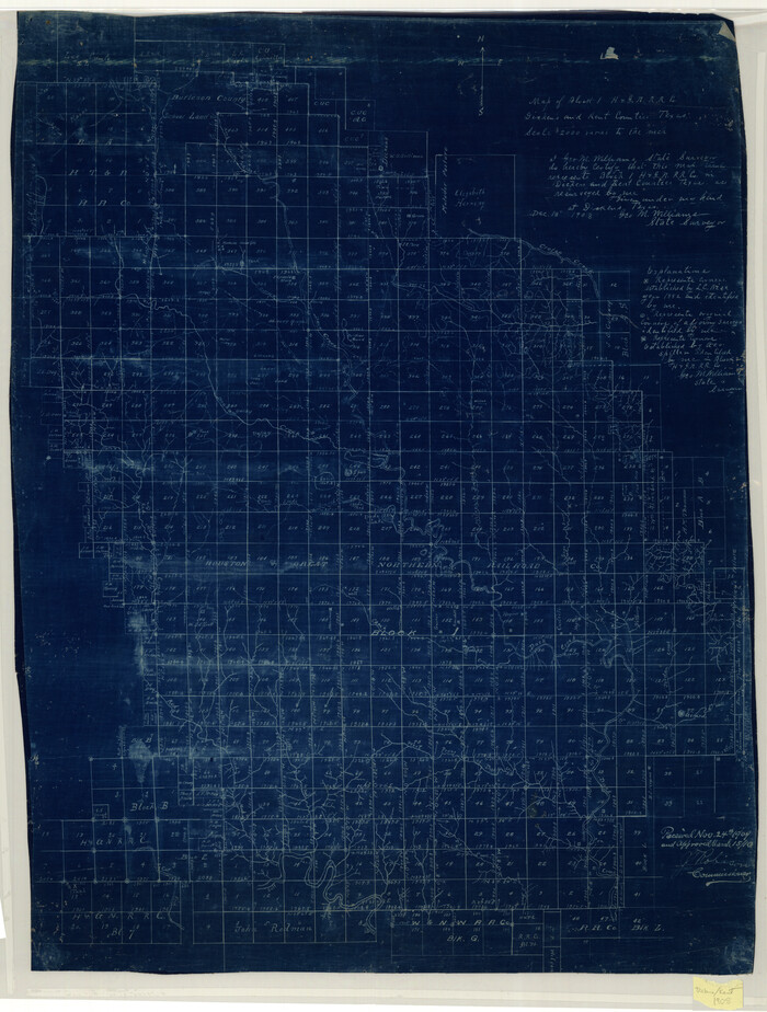

Print $20.00
- Digital $50.00
Map of Block 1, H. & G. N. R. R. Co., Dickens and Kent Counties Texas
1908
Size 32.0 x 24.2 inches
Map/Doc 10780
Map Showing Survey and Subdivision of the Wendlandt Property in Outlot 4, Division "Z"
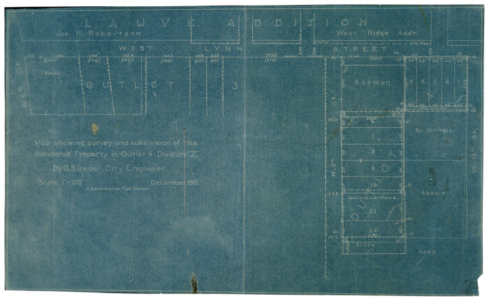

Print $3.00
- Digital $50.00
Map Showing Survey and Subdivision of the Wendlandt Property in Outlot 4, Division "Z"
1910
Size 10.8 x 17.7 inches
Map/Doc 508
Working Sketch in Dimmit Co.
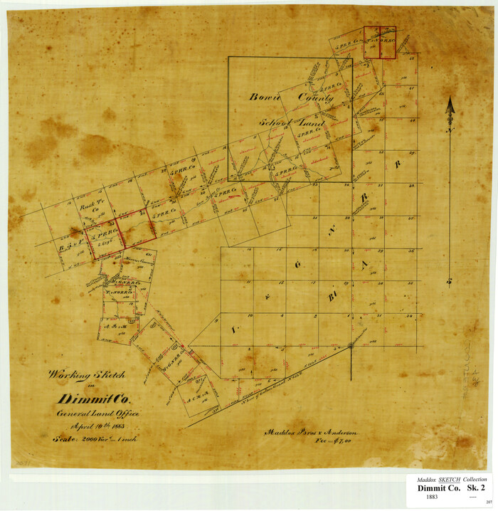

Print $20.00
- Digital $50.00
Working Sketch in Dimmit Co.
1883
Size 14.9 x 14.6 inches
Map/Doc 436
Burnet County


Print $20.00
- Digital $50.00
Burnet County
1881
Size 16.0 x 16.2 inches
Map/Doc 75785
Oldham County, Texas
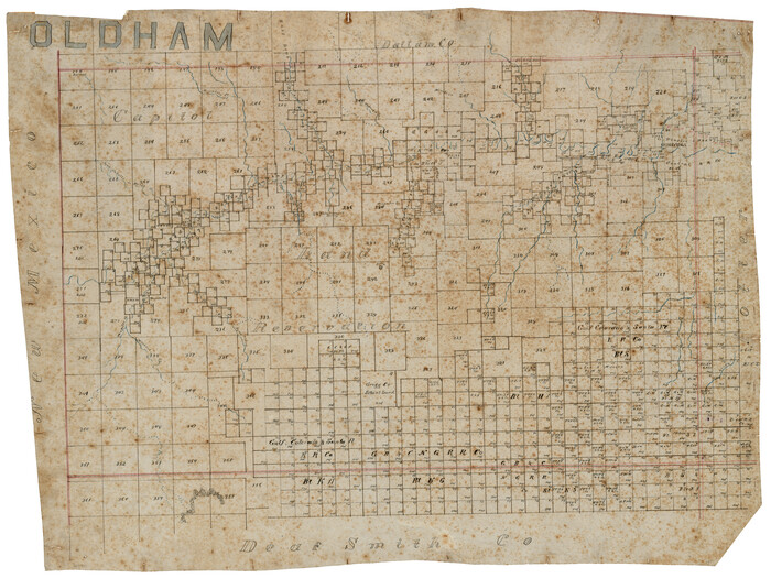

Print $20.00
- Digital $50.00
Oldham County, Texas
1880
Size 21.2 x 26.8 inches
Map/Doc 745
Marion County, Texas


Print $20.00
- Digital $50.00
Marion County, Texas
1879
Size 15.0 x 20.7 inches
Map/Doc 651
You may also like
Lamar County Boundary File 56
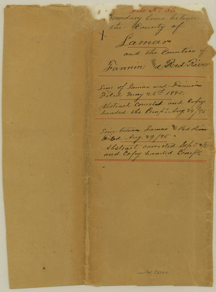

Print $60.00
- Digital $50.00
Lamar County Boundary File 56
Size 8.7 x 6.4 inches
Map/Doc 56000
El Paso County Working Sketch 18


Print $40.00
- Digital $50.00
El Paso County Working Sketch 18
1960
Size 74.4 x 16.1 inches
Map/Doc 69040
McCulloch County Sketch File 13
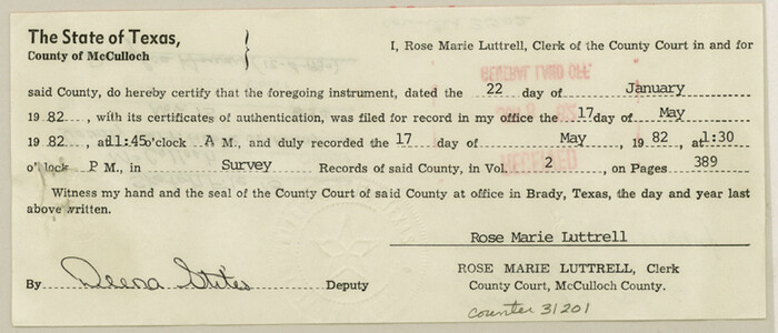

Print $4.00
- Digital $50.00
McCulloch County Sketch File 13
1982
Size 3.4 x 7.8 inches
Map/Doc 31201
PSL Field Notes for Blocks 77, B2, B3, and A56 in Winkler County


PSL Field Notes for Blocks 77, B2, B3, and A56 in Winkler County
Map/Doc 81679
Morris County Rolled Sketch 2A


Print $20.00
- Digital $50.00
Morris County Rolled Sketch 2A
Size 24.0 x 18.8 inches
Map/Doc 10228
Bexar County Boundary File 3


Print $6.00
- Digital $50.00
Bexar County Boundary File 3
Size 8.2 x 3.6 inches
Map/Doc 50536
Andrews County Working Sketch 23


Print $20.00
- Digital $50.00
Andrews County Working Sketch 23
1979
Size 26.6 x 27.7 inches
Map/Doc 67069
Brazoria County Working Sketch 23
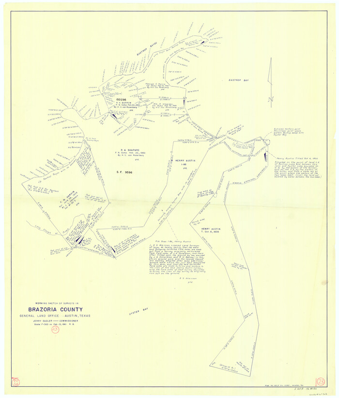

Print $20.00
- Digital $50.00
Brazoria County Working Sketch 23
1961
Size 37.9 x 32.4 inches
Map/Doc 67508
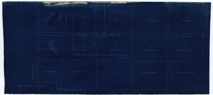
Johnson County Boundary File 51d

Print $6.00
- Digital $50.00
Johnson County Boundary File 51d
Size 7.9 x 17.8 inches
Map/Doc 55631
Texas Coordinate File 6


Print $40.00
- Digital $50.00
Texas Coordinate File 6
1946
Size 23.7 x 49.0 inches
Map/Doc 75314
![82557, [Wm. Lewis No. 254 and Surrounding Surveys, Aransas County, Texas], Maddox Collection](https://historictexasmaps.com/wmedia_w1800h1800/maps/82557.tif.jpg)
