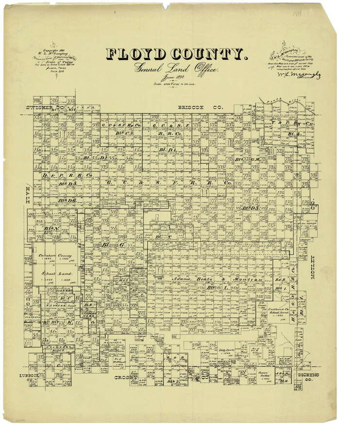
[El Javali Grant,] Sketch of 2560 acres of land in Starr County
-
Map/Doc
474
-
Collection
Maddox Collection
-
Counties
Starr Zapata
-
Height x Width
13.4 x 14.0 inches
34.0 x 35.6 cm
-
Medium
blueprint/diazo
-
Features
El Javala Arroyo
Sacatosa Arroyo
Part of: Maddox Collection
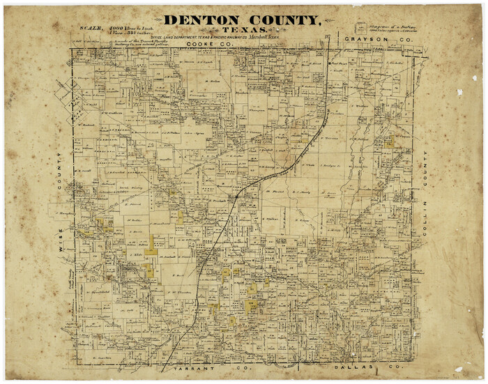
Denton County, Texas

Print $20.00
- Digital $50.00
Denton County, Texas
1870
Size 18.6 x 22.7 inches
Map/Doc 723
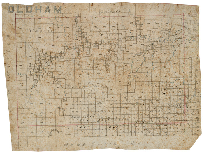
Oldham County, Texas

Print $20.00
- Digital $50.00
Oldham County, Texas
1880
Size 21.2 x 26.8 inches
Map/Doc 745
McMullen County, Texas


Print $20.00
- Digital $50.00
McMullen County, Texas
1889
Size 28.7 x 22.1 inches
Map/Doc 575
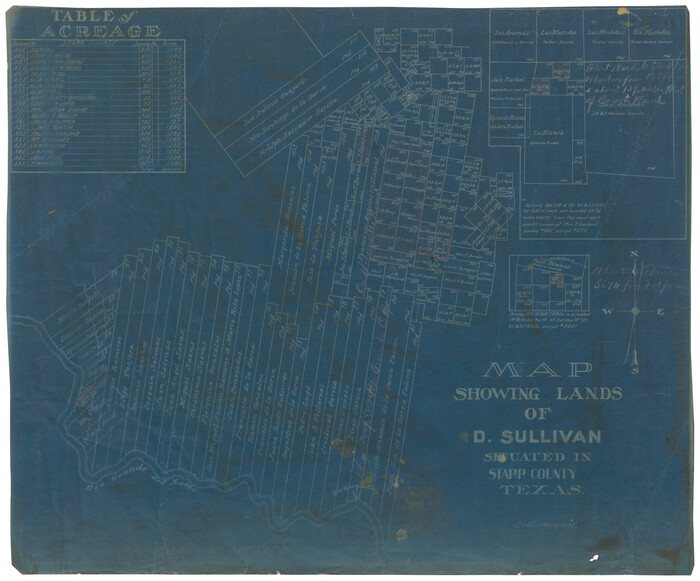
Map showing lands of D. Sullivan situated in Starr County, Texas

Print $20.00
- Digital $50.00
Map showing lands of D. Sullivan situated in Starr County, Texas
Size 15.5 x 18.6 inches
Map/Doc 755
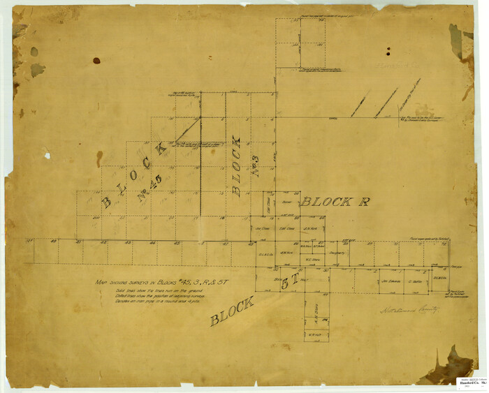
Map showing surveys in Blocks 45, 3, R & 5T

Print $20.00
- Digital $50.00
Map showing surveys in Blocks 45, 3, R & 5T
1913
Size 30.2 x 37.5 inches
Map/Doc 496
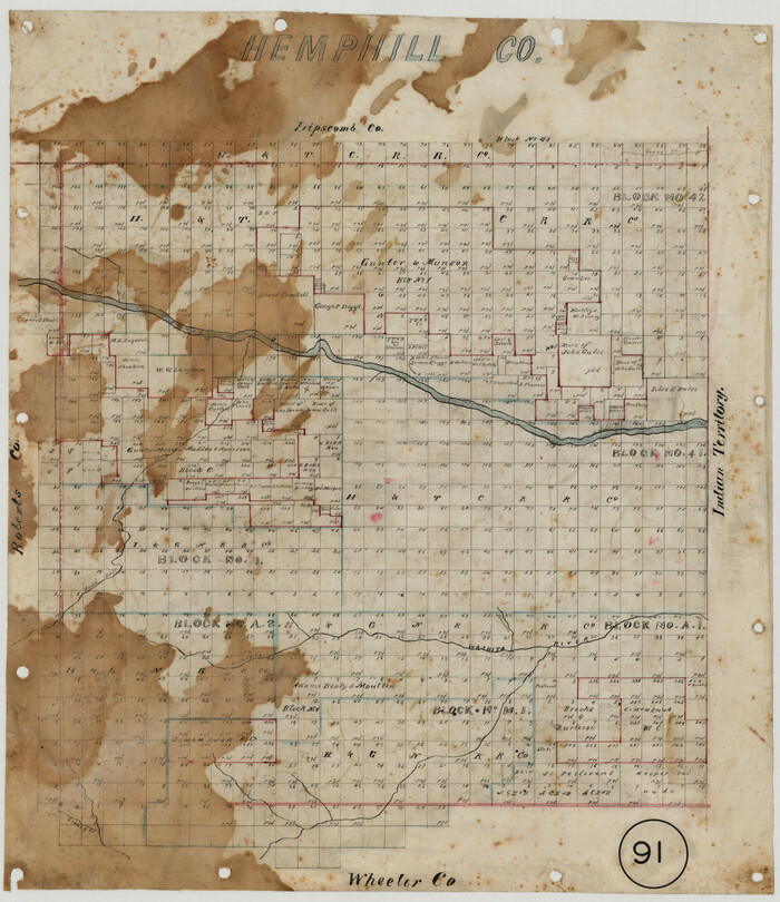
Hemphill County, Texas

Print $20.00
- Digital $50.00
Hemphill County, Texas
1880
Size 19.7 x 18.6 inches
Map/Doc 549
Working Sketch in McMullen County


Print $3.00
- Digital $50.00
Working Sketch in McMullen County
1883
Size 11.7 x 12.1 inches
Map/Doc 576
[Town Plat of Lamar]
![4462, [Town Plat of Lamar], Maddox Collection](https://historictexasmaps.com/wmedia_w700/maps/4462-1.tif.jpg)
![4462, [Town Plat of Lamar], Maddox Collection](https://historictexasmaps.com/wmedia_w700/maps/4462-1.tif.jpg)
Print $20.00
- Digital $50.00
[Town Plat of Lamar]
Size 19.0 x 25.0 inches
Map/Doc 4462
Map of Concho County, Texas


Print $20.00
- Digital $50.00
Map of Concho County, Texas
1879
Size 28.8 x 23.9 inches
Map/Doc 703
Wichita County

Print $20.00
- Digital $50.00
Wichita County
1892
Size 20.2 x 24.3 inches
Map/Doc 75804
You may also like
Report of Construction re: MA 46948, H. C. Henson

Print $2.00
- Digital $50.00
Report of Construction re: MA 46948, H. C. Henson
1954
Size 11.1 x 8.9 inches
Map/Doc 62571
Montgomery County Sketch File 13


Print $40.00
- Digital $50.00
Montgomery County Sketch File 13
1900
Size 17.8 x 14.8 inches
Map/Doc 31803
Wharton County Sketch File 4a
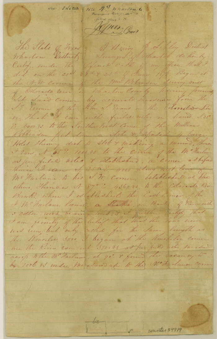

Print $4.00
- Digital $50.00
Wharton County Sketch File 4a
1876
Size 12.7 x 8.1 inches
Map/Doc 39919
La Louisiane, Suivant les Nouvelles Observations de Messrs de l'Academie Royale des Sciences
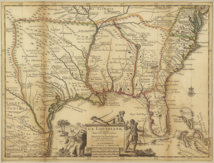

Print $20.00
La Louisiane, Suivant les Nouvelles Observations de Messrs de l'Academie Royale des Sciences
1735
Size 9.1 x 11.9 inches
Map/Doc 95279
Map of Louisiana from D'Anville's Atlas
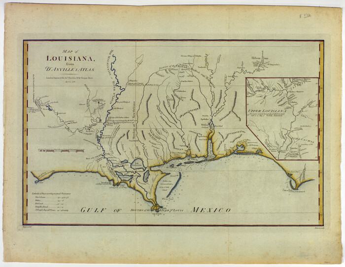

Print $20.00
- Digital $50.00
Map of Louisiana from D'Anville's Atlas
1788
Size 16.7 x 21.6 inches
Map/Doc 94111
Austin County Sketch File 5


Print $40.00
- Digital $50.00
Austin County Sketch File 5
1885
Size 47.7 x 24.6 inches
Map/Doc 10319
Concho County Sketch File 3
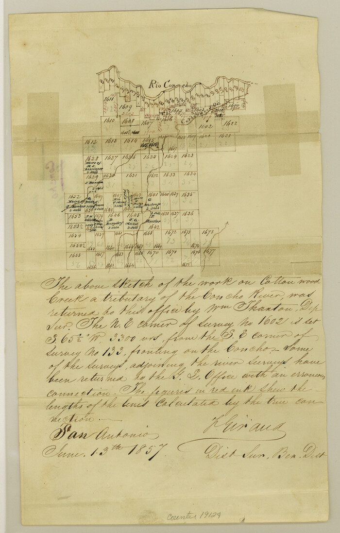

Print $6.00
- Digital $50.00
Concho County Sketch File 3
1857
Size 13.1 x 8.4 inches
Map/Doc 19124
Callahan County Sketch File 6a


Print $24.00
- Digital $50.00
Callahan County Sketch File 6a
Size 8.0 x 6.8 inches
Map/Doc 35860
Reeves County Rolled Sketch 25


Print $20.00
- Digital $50.00
Reeves County Rolled Sketch 25
1982
Size 22.3 x 20.6 inches
Map/Doc 7494
El Paso County State Real Property Sketch 1
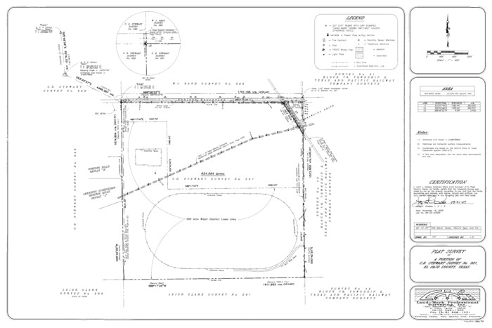

Print $20.00
- Digital $50.00
El Paso County State Real Property Sketch 1
2007
Size 24.1 x 36.2 inches
Map/Doc 88670
Val Verde County Working Sketch 112
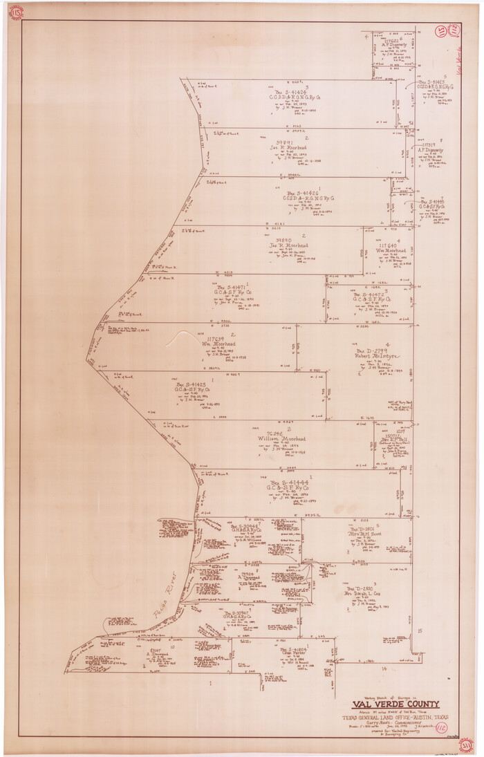

Print $40.00
- Digital $50.00
Val Verde County Working Sketch 112
1990
Size 48.2 x 30.8 inches
Map/Doc 72247
[Sketch Between Wheeler County and Oklahoma]
![89665, [Sketch Between Wheeler County and Oklahoma], Twichell Survey Records](https://historictexasmaps.com/wmedia_w700/maps/89665-1.tif.jpg)
![89665, [Sketch Between Wheeler County and Oklahoma], Twichell Survey Records](https://historictexasmaps.com/wmedia_w700/maps/89665-1.tif.jpg)
Print $40.00
- Digital $50.00
[Sketch Between Wheeler County and Oklahoma]
Size 8.8 x 62.7 inches
Map/Doc 89665
![474, [El Javali Grant,] Sketch of 2560 acres of land in Starr County, Maddox Collection](https://historictexasmaps.com/wmedia_w1800h1800/maps/0474.tif.jpg)

