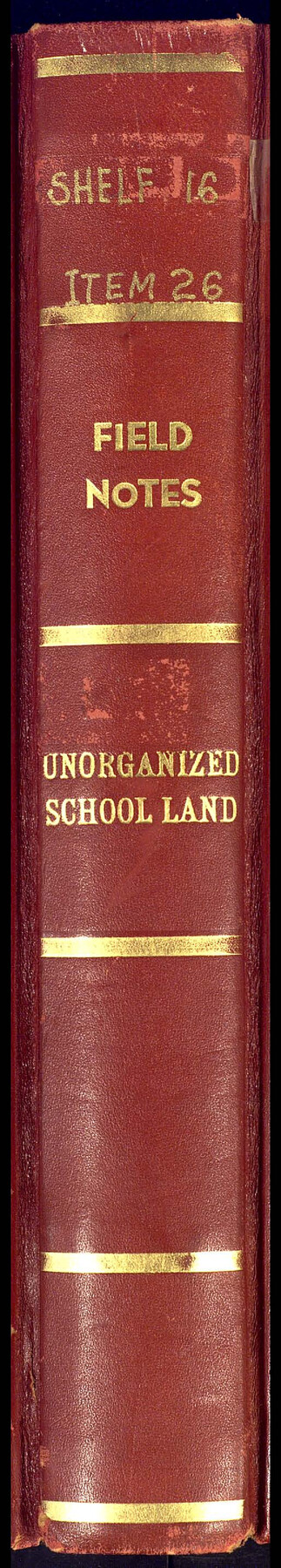
Field Notes, Unorganized School Land
PSL Field Notes
-
Map/Doc
81708
-
Collection
General Map Collection
-
People and Organizations
L.M. Moore (Surveyor/Engineer)
W.D. Twichell (Surveyor/Engineer)
-
Subjects
Bound Volume Public School Land
-
Medium
paper, bound volume
-
Comments
See 97176 for an index to the Public School Land field note volumes.
Related maps
Public School Land Field Note Volume Index

Public School Land Field Note Volume Index
2023
Size 8.5 x 11.0 inches
Map/Doc 97176
Part of: General Map Collection
Bexar County Sketch File 60

Print $4.00
- Digital $50.00
Bexar County Sketch File 60
2009
Size 11.0 x 8.5 inches
Map/Doc 93669
Wichita County Rolled Sketch 9A

Print $20.00
- Digital $50.00
Wichita County Rolled Sketch 9A
1917
Size 32.4 x 27.9 inches
Map/Doc 8247
Three Sitios of Land Granted to Vicente Micheli April 28th 1806

Print $2.00
- Digital $50.00
Three Sitios of Land Granted to Vicente Micheli April 28th 1806
1835
Size 11.8 x 8.1 inches
Map/Doc 170
Hardin County Sketch File 44

Print $6.00
- Digital $50.00
Hardin County Sketch File 44
Size 6.7 x 7.4 inches
Map/Doc 25192
Hall County Sketch File 16

Print $20.00
- Digital $50.00
Hall County Sketch File 16
1892
Size 24.0 x 35.5 inches
Map/Doc 11608
Stephens County Sketch File B

Print $9.00
- Digital $50.00
Stephens County Sketch File B
1919
Size 13.2 x 8.7 inches
Map/Doc 37070
Parker County Sketch File 29

Print $20.00
- Digital $50.00
Parker County Sketch File 29
1876
Size 10.1 x 19.7 inches
Map/Doc 12147
Martin County Sketch File 5

Print $4.00
- Digital $50.00
Martin County Sketch File 5
1913
Size 11.4 x 8.7 inches
Map/Doc 30640
Kinney County Sketch File 16

Print $20.00
- Digital $50.00
Kinney County Sketch File 16
1887
Size 23.2 x 25.4 inches
Map/Doc 11941
Lubbock County Boundary File 4

Print $4.00
- Digital $50.00
Lubbock County Boundary File 4
Size 11.2 x 8.8 inches
Map/Doc 56491
Flight Mission No. CGI-1N, Frame 180, Cameron County

Print $20.00
- Digital $50.00
Flight Mission No. CGI-1N, Frame 180, Cameron County
1955
Size 18.5 x 22.2 inches
Map/Doc 84515
McMullen County Working Sketch 25

Print $20.00
- Digital $50.00
McMullen County Working Sketch 25
1952
Size 37.5 x 43.5 inches
Map/Doc 70726
You may also like
Brewster County Working Sketch 99

Print $20.00
- Digital $50.00
Brewster County Working Sketch 99
1978
Size 19.4 x 21.9 inches
Map/Doc 67699
Map of Hamilton County

Print $20.00
Map of Hamilton County
1876
Size 19.0 x 22.2 inches
Map/Doc 88945

McMullen County

Print $40.00
- Digital $50.00
McMullen County
1967
Size 50.8 x 35.8 inches
Map/Doc 95586
[Sketch for Mineral Application 18874 - Pecos River Bed, W. J. Bonner]
![65583, [Sketch for Mineral Application 18874 - Pecos River Bed, W. J. Bonner], General Map Collection](https://historictexasmaps.com/wmedia_w700/maps/65583.tif.jpg)
Print $20.00
- Digital $50.00
[Sketch for Mineral Application 18874 - Pecos River Bed, W. J. Bonner]
1927
Size 37.6 x 32.3 inches
Map/Doc 65583
Flight Mission No. DCL-7C, Frame 45, Kenedy County

Print $20.00
- Digital $50.00
Flight Mission No. DCL-7C, Frame 45, Kenedy County
1943
Size 15.4 x 15.3 inches
Map/Doc 86033
Ward County Sketch File 5

Print $5.00
- Digital $50.00
Ward County Sketch File 5
1873
Size 11.0 x 17.0 inches
Map/Doc 39619
Gillespie County

Print $40.00
- Digital $50.00
Gillespie County
1887
Size 38.9 x 49.8 inches
Map/Doc 4956
Palo Pinto County Working Sketch 22

Print $20.00
- Digital $50.00
Palo Pinto County Working Sketch 22
1985
Map/Doc 71405
Kleberg County Rolled Sketch 10-2

Print $20.00
- Digital $50.00
Kleberg County Rolled Sketch 10-2
1951
Size 36.5 x 33.4 inches
Map/Doc 9377
Bexar County Sketch File 55

Print $20.00
- Digital $50.00
Bexar County Sketch File 55
1838
Size 13.3 x 8.3 inches
Map/Doc 14560
Map of the Fort Worth & Denver City Railway, Wichita County, Texas

Print $40.00
- Digital $50.00
Map of the Fort Worth & Denver City Railway, Wichita County, Texas
1885
Size 25.2 x 122.4 inches
Map/Doc 64454