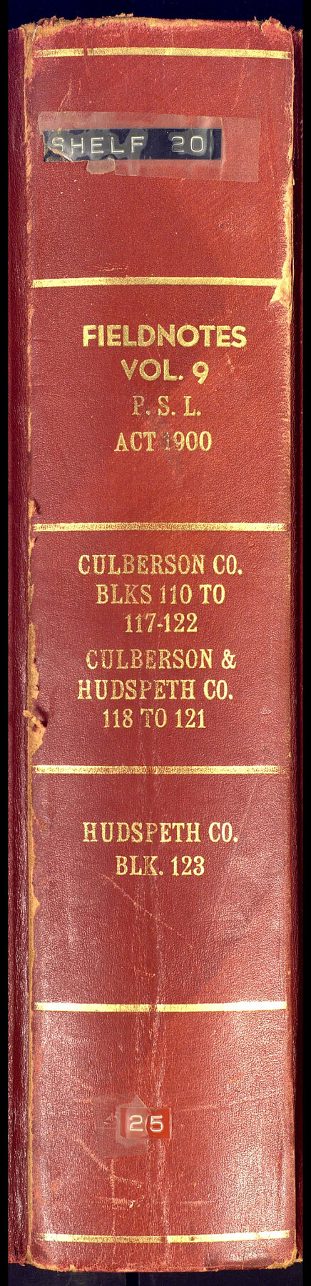
PSL Field Notes for Blocks 110 through 122 in Culberson County and Block 123 in Hudspeth County
Field Notes Vol. 9, PSL, Culberson County Blocks 110 to 117-122, Culberson and Hudspeth County 118 to 121, Hudspeth County Block 123
-
Map/Doc
81666
-
Collection
General Map Collection
-
People and Organizations
Charles Rogan (GLO Commissioner)
A.H. Parker (Surveyor/Engineer)
-
Counties
Culberson Hudspeth
-
Subjects
Bound Volume Public School Land
-
Medium
paper, bound volume
-
Comments
See the following surveying items related to this PSL field note volume: Hudspeth County Rolled Sketch 23; Hudspeth County Sketch Files 1, 2, 7, 9, 10, 12, and 36.
See 97176 for an index to the Public School Land field note volumes.
Related maps
Hudspeth County Sketch File 1

Print $8.00
- Digital $50.00
Hudspeth County Sketch File 1
1900
Size 11.3 x 8.8 inches
Map/Doc 26880
Hudspeth County Sketch File 2

Print $10.00
- Digital $50.00
Hudspeth County Sketch File 2
1900
Size 13.4 x 8.6 inches
Map/Doc 26884
Hudspeth County Sketch File 7

Print $6.00
- Digital $50.00
Hudspeth County Sketch File 7
1900
Size 14.2 x 8.7 inches
Map/Doc 26892
Hudspeth County Sketch File 9

Print $8.00
- Digital $50.00
Hudspeth County Sketch File 9
1900
Size 11.3 x 8.8 inches
Map/Doc 26895
Hudspeth County Sketch File 10

Print $4.00
- Digital $50.00
Hudspeth County Sketch File 10
1900
Size 11.2 x 8.8 inches
Map/Doc 26899
Hudspeth County Sketch File 12

Print $10.00
- Digital $50.00
Hudspeth County Sketch File 12
1901
Size 14.2 x 8.7 inches
Map/Doc 26924
Hudspeth County Sketch File 36

Print $12.00
- Digital $50.00
Hudspeth County Sketch File 36
1901
Size 10.5 x 8.2 inches
Map/Doc 27003
Hudspeth County Rolled Sketch 23

Print $40.00
- Digital $50.00
Hudspeth County Rolled Sketch 23
Size 43.7 x 70.3 inches
Map/Doc 9207
Public School Land Field Note Volume Index

Public School Land Field Note Volume Index
2023
Size 8.5 x 11.0 inches
Map/Doc 97176
Part of: General Map Collection
Flight Mission No. CLL-4N, Frame 35, Willacy County

Print $20.00
- Digital $50.00
Flight Mission No. CLL-4N, Frame 35, Willacy County
1954
Size 18.3 x 22.0 inches
Map/Doc 87108
Bailey County Sketch File 11a

Print $4.00
- Digital $50.00
Bailey County Sketch File 11a
1912
Size 8.4 x 11.1 inches
Map/Doc 13967
Jefferson County Sketch File 5b

Print $6.00
- Digital $50.00
Jefferson County Sketch File 5b
1860
Size 9.3 x 11.1 inches
Map/Doc 28108
Titus County Working Sketch 7

Print $20.00
- Digital $50.00
Titus County Working Sketch 7
1970
Size 31.5 x 28.7 inches
Map/Doc 69368
Glasscock County Sketch File 10

Print $6.00
- Digital $50.00
Glasscock County Sketch File 10
1935
Size 11.6 x 12.8 inches
Map/Doc 24172
Winkler County

Print $20.00
- Digital $50.00
Winkler County
1901
Size 44.1 x 37.9 inches
Map/Doc 63131
Pecos County Working Sketch 141

Print $20.00
- Digital $50.00
Pecos County Working Sketch 141
1941
Size 31.8 x 42.5 inches
Map/Doc 9733
Irion County Sketch File 5

Print $16.00
- Digital $50.00
Irion County Sketch File 5
1900
Size 14.4 x 8.9 inches
Map/Doc 27463
Concho County Sketch File 8 1/2

Print $8.00
- Digital $50.00
Concho County Sketch File 8 1/2
1887
Size 8.4 x 10.6 inches
Map/Doc 19134
Flight Mission No. DAG-23K, Frame 149, Matagorda County

Print $20.00
- Digital $50.00
Flight Mission No. DAG-23K, Frame 149, Matagorda County
1953
Size 15.9 x 15.9 inches
Map/Doc 86497
Galveston County NRC Article 33.136 Location Key Sheet

Print $20.00
- Digital $50.00
Galveston County NRC Article 33.136 Location Key Sheet
1994
Size 27.0 x 21.8 inches
Map/Doc 77019
Concho County

Print $40.00
- Digital $50.00
Concho County
1947
Size 48.1 x 37.3 inches
Map/Doc 95464
You may also like

Hardin County Working Sketch 35

Print $20.00
- Digital $50.00
Hardin County Working Sketch 35
1981
Size 17.2 x 14.6 inches
Map/Doc 63433
[Surveys along the Polk and Tyler County border]
![333, [Surveys along the Polk and Tyler County border], General Map Collection](https://historictexasmaps.com/wmedia_w700/maps/333.tif.jpg)
Print $2.00
- Digital $50.00
[Surveys along the Polk and Tyler County border]
Size 9.3 x 6.0 inches
Map/Doc 333
[Area north of League 1, Morris County School Land]
![90351, [Area north of League 1, Morris County School Land], Twichell Survey Records](https://historictexasmaps.com/wmedia_w700/maps/90351-1.tif.jpg)
Print $20.00
- Digital $50.00
[Area north of League 1, Morris County School Land]
Size 12.9 x 14.1 inches
Map/Doc 90351
Acts of the Visit of the Royal Commissioners (sometimes referred to as the “Visita General”) - Camargo

Acts of the Visit of the Royal Commissioners (sometimes referred to as the “Visita General”) - Camargo
1767
Size 14.3 x 9.5 inches
Map/Doc 94254
Presidio County Sketch File 116A

Print $63.00
- Digital $50.00
Presidio County Sketch File 116A
Size 17.0 x 11.0 inches
Map/Doc 34885
Harrison County Rolled Sketch 10

Print $20.00
- Digital $50.00
Harrison County Rolled Sketch 10
1956
Size 33.6 x 26.1 inches
Map/Doc 6153
Callahan County Sketch File 15

Print $16.00
- Digital $50.00
Callahan County Sketch File 15
1944
Size 11.2 x 8.8 inches
Map/Doc 35890
[River Secs. 68 1/2-73, Pt. Blk. GG]
![90478, [River Secs. 68 1/2-73, Pt. Blk. GG], Twichell Survey Records](https://historictexasmaps.com/wmedia_w700/maps/90478-1.tif.jpg)
Print $20.00
- Digital $50.00
[River Secs. 68 1/2-73, Pt. Blk. GG]
Size 27.6 x 20.7 inches
Map/Doc 90478

East Line of Lipscomb County

Print $20.00
- Digital $50.00
East Line of Lipscomb County
Size 8.9 x 21.7 inches
Map/Doc 91317
Maps of Gulf Intracoastal Waterway, Texas - Sabine River to the Rio Grande and connecting waterways including ship channels

Print $20.00
- Digital $50.00
Maps of Gulf Intracoastal Waterway, Texas - Sabine River to the Rio Grande and connecting waterways including ship channels
1966
Size 14.5 x 22.4 inches
Map/Doc 61918