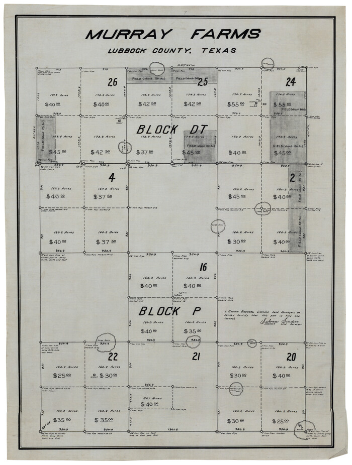
[River Secs. 68 1/2-73, Pt. Blk. GG]
53-31
-
Map/Doc
90478
-
Collection
Twichell Survey Records
-
Counties
Crockett
-
Height x Width
27.6 x 20.7 inches
70.1 x 52.6 cm
Part of: Twichell Survey Records
Plat of South Side Addition on Section 37 Block 17, Wheeler County, Texas


Print $20.00
- Digital $50.00
Plat of South Side Addition on Section 37 Block 17, Wheeler County, Texas
Size 12.0 x 16.9 inches
Map/Doc 92103
[Townships 4N and 5N]
![90634, [Townships 4N and 5N], Twichell Survey Records](https://historictexasmaps.com/wmedia_w700/maps/90634-1.tif.jpg)
![90634, [Townships 4N and 5N], Twichell Survey Records](https://historictexasmaps.com/wmedia_w700/maps/90634-1.tif.jpg)
Print $20.00
- Digital $50.00
[Townships 4N and 5N]
Size 25.6 x 21.7 inches
Map/Doc 90634
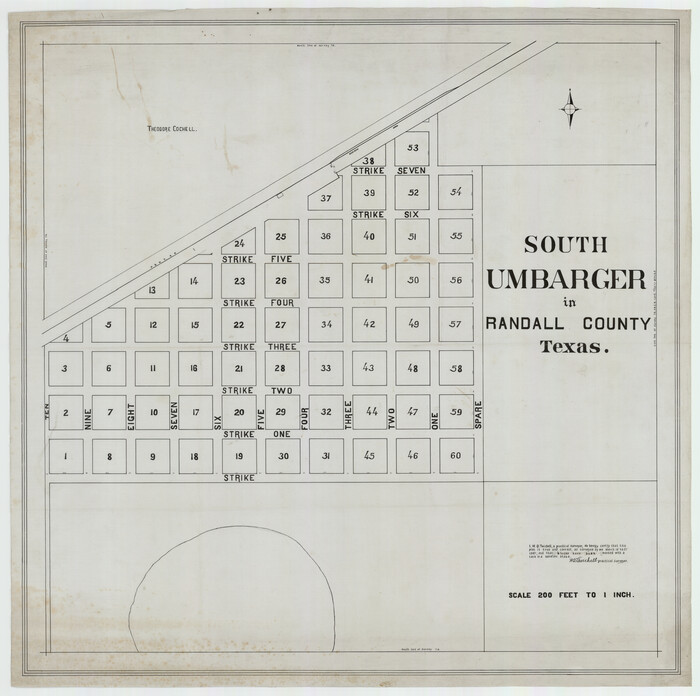
South Umbarger in Randall County, Texas

Print $20.00
- Digital $50.00
South Umbarger in Randall County, Texas
1905
Size 31.2 x 30.7 inches
Map/Doc 92153
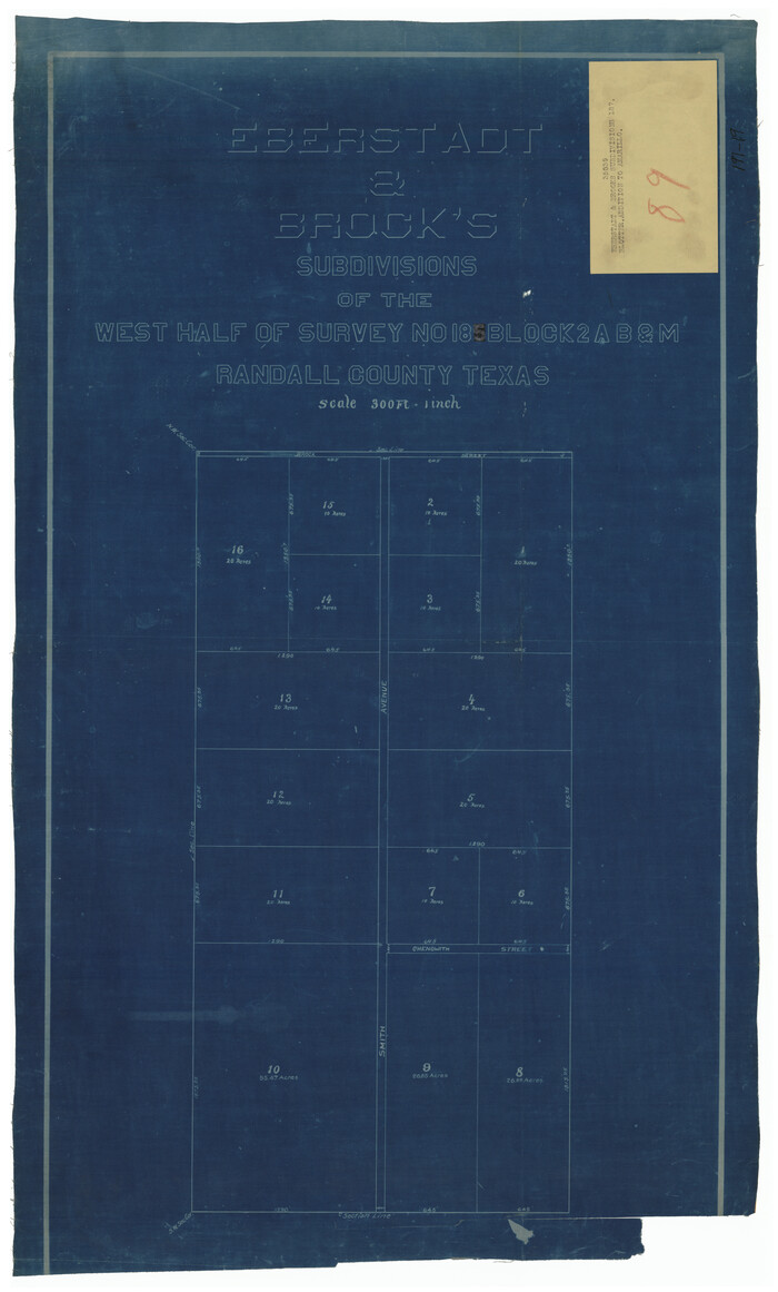
Eberstadt and Brock's Subdivisions of the West Half of Survey 187 Block 2 A. B. & M., Randall County Texas

Print $20.00
- Digital $50.00
Eberstadt and Brock's Subdivisions of the West Half of Survey 187 Block 2 A. B. & M., Randall County Texas
Size 17.7 x 29.6 inches
Map/Doc 91748
[Randall County map]
![91752, [Randall County map], Twichell Survey Records](https://historictexasmaps.com/wmedia_w700/maps/91752-1.tif.jpg)
![91752, [Randall County map], Twichell Survey Records](https://historictexasmaps.com/wmedia_w700/maps/91752-1.tif.jpg)
Print $20.00
- Digital $50.00
[Randall County map]
Size 21.3 x 17.0 inches
Map/Doc 91752
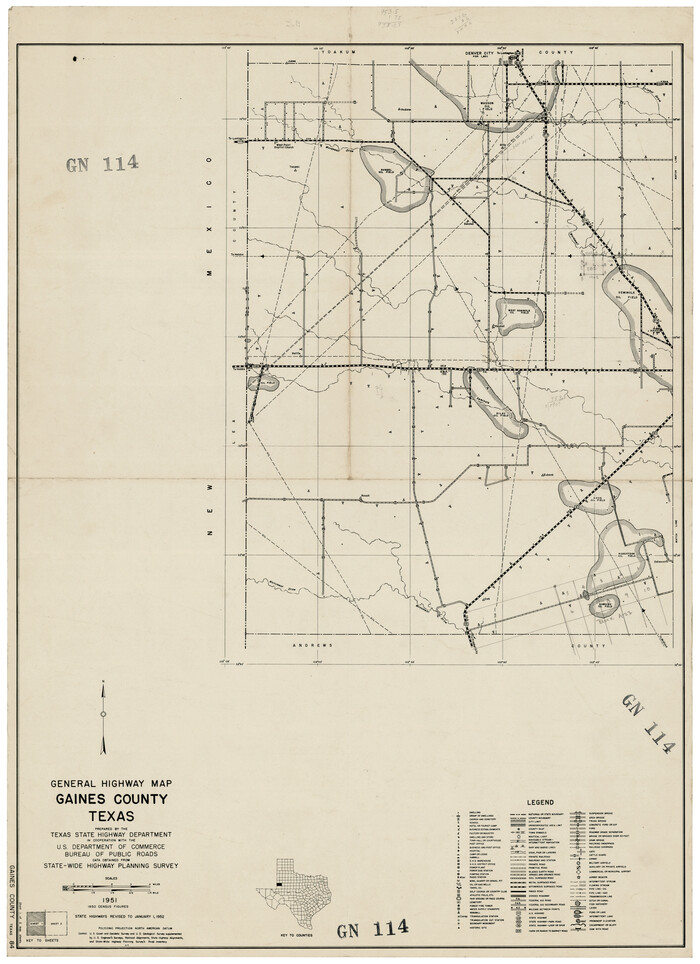
General Highway Map, Gaines County, Texas

Print $20.00
- Digital $50.00
General Highway Map, Gaines County, Texas
1951
Size 18.8 x 25.9 inches
Map/Doc 92639
Dawson County


Print $20.00
- Digital $50.00
Dawson County
1892
Size 19.7 x 24.7 inches
Map/Doc 90626
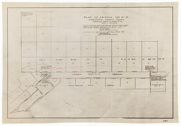
Plat of J. W. Bolin Survey Number 21, Hudspeth County, Texas

Print $3.00
- Digital $50.00
Plat of J. W. Bolin Survey Number 21, Hudspeth County, Texas
1921
Size 15.2 x 10.5 inches
Map/Doc 91133
[Sketch Between Hemphill County and Oklahoma]
![89670, [Sketch Between Hemphill County and Oklahoma], Twichell Survey Records](https://historictexasmaps.com/wmedia_w700/maps/89670-1.tif.jpg)
![89670, [Sketch Between Hemphill County and Oklahoma], Twichell Survey Records](https://historictexasmaps.com/wmedia_w700/maps/89670-1.tif.jpg)
Print $40.00
- Digital $50.00
[Sketch Between Hemphill County and Oklahoma]
Size 60.4 x 7.8 inches
Map/Doc 89670
Glasscock Public Roads


Print $20.00
- Digital $50.00
Glasscock Public Roads
Size 38.3 x 36.8 inches
Map/Doc 89944
North Line of Stonewall County, South Line of King County


Print $20.00
- Digital $50.00
North Line of Stonewall County, South Line of King County
1895
Size 8.0 x 41.1 inches
Map/Doc 91058
You may also like
Flight Mission No. CRK-7P, Frame 25, Refugio County


Print $20.00
- Digital $50.00
Flight Mission No. CRK-7P, Frame 25, Refugio County
1956
Size 18.6 x 22.3 inches
Map/Doc 86945
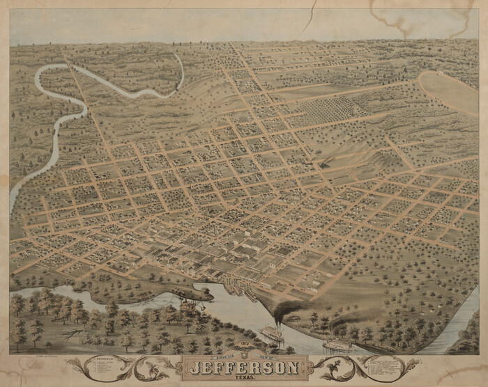
Bird's Eye View of Jefferson, Texas

Print $20.00
Bird's Eye View of Jefferson, Texas
1872
Size 18.7 x 23.5 inches
Map/Doc 89095
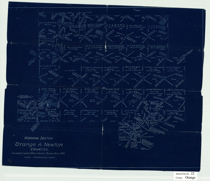
Orange County Sketch File 22

Print $20.00
- Digital $50.00
Orange County Sketch File 22
1910
Size 16.2 x 18.7 inches
Map/Doc 12121
[Fort Worth & Rio Grande Ry.] Map, Tracings of Located Line, Dublin to Comanche
![64353, [Fort Worth & Rio Grande Ry.] Map, Tracings of Located Line, Dublin to Comanche, General Map Collection](https://historictexasmaps.com/wmedia_w700/maps/64353.tif.jpg)
![64353, [Fort Worth & Rio Grande Ry.] Map, Tracings of Located Line, Dublin to Comanche, General Map Collection](https://historictexasmaps.com/wmedia_w700/maps/64353.tif.jpg)
Print $20.00
- Digital $50.00
[Fort Worth & Rio Grande Ry.] Map, Tracings of Located Line, Dublin to Comanche
Size 15.3 x 41.6 inches
Map/Doc 64353
[Beaumont, Sour Lake and Western Ry. Right of Way and Alignment - Frisco]
![64127, [Beaumont, Sour Lake and Western Ry. Right of Way and Alignment - Frisco], General Map Collection](https://historictexasmaps.com/wmedia_w700/maps/64127.tif.jpg)
![64127, [Beaumont, Sour Lake and Western Ry. Right of Way and Alignment - Frisco], General Map Collection](https://historictexasmaps.com/wmedia_w700/maps/64127.tif.jpg)
Print $20.00
- Digital $50.00
[Beaumont, Sour Lake and Western Ry. Right of Way and Alignment - Frisco]
1910
Size 20.1 x 45.8 inches
Map/Doc 64127
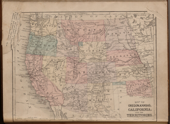
Map of Oregon, Kansas, California, and the Territories

Print $20.00
- Digital $50.00
Map of Oregon, Kansas, California, and the Territories
1885
Size 9.0 x 12.2 inches
Map/Doc 93522
Marion County Working Sketch 33
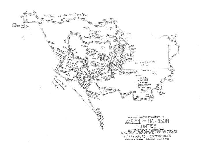

Print $20.00
- Digital $50.00
Marion County Working Sketch 33
1983
Size 16.0 x 20.7 inches
Map/Doc 70809
Montgomery County Rolled Sketch 10
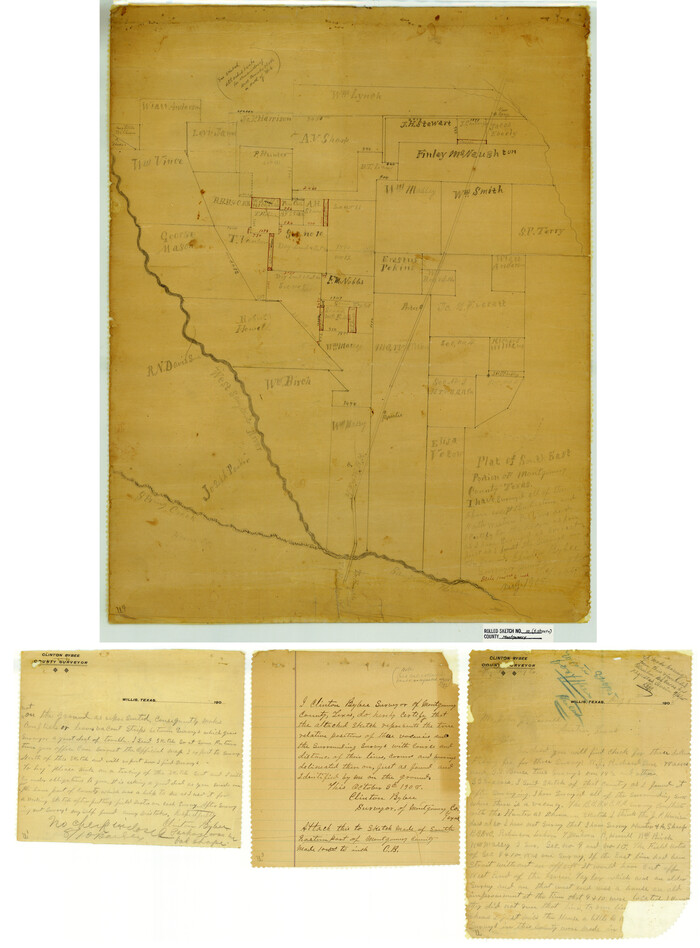

Print $20.00
- Digital $50.00
Montgomery County Rolled Sketch 10
1905
Size 35.5 x 26.2 inches
Map/Doc 6796
Brewster County Working Sketch 92


Print $40.00
- Digital $50.00
Brewster County Working Sketch 92
1975
Size 61.9 x 39.4 inches
Map/Doc 67692
Karnes County Sketch File 5

Print $7.00
- Digital $50.00
Karnes County Sketch File 5
1849
Size 8.1 x 10.0 inches
Map/Doc 28554
Gonzales County Sketch File 6


Print $4.00
- Digital $50.00
Gonzales County Sketch File 6
1880
Size 10.2 x 8.7 inches
Map/Doc 24385
Crockett County Rolled Sketch 57
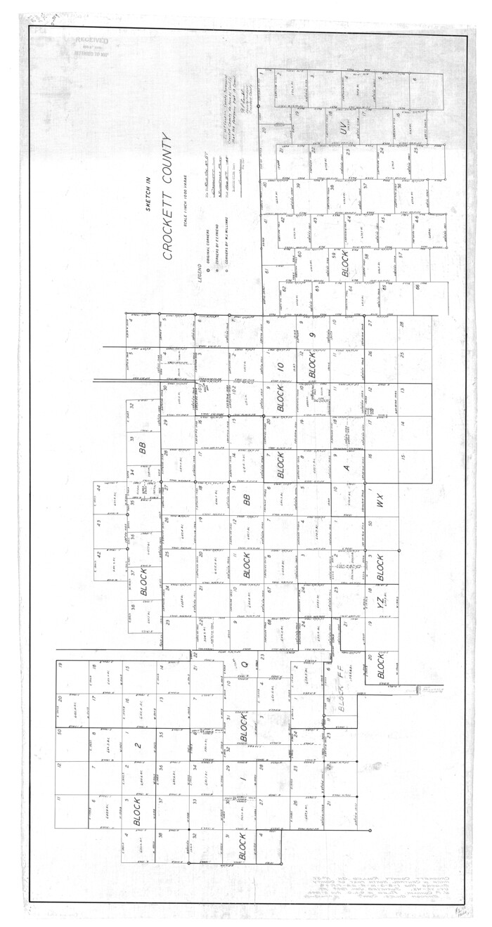

Print $40.00
- Digital $50.00
Crockett County Rolled Sketch 57
1944
Size 52.7 x 28.0 inches
Map/Doc 8719
![90478, [River Secs. 68 1/2-73, Pt. Blk. GG], Twichell Survey Records](https://historictexasmaps.com/wmedia_w1800h1800/maps/90478-1.tif.jpg)
