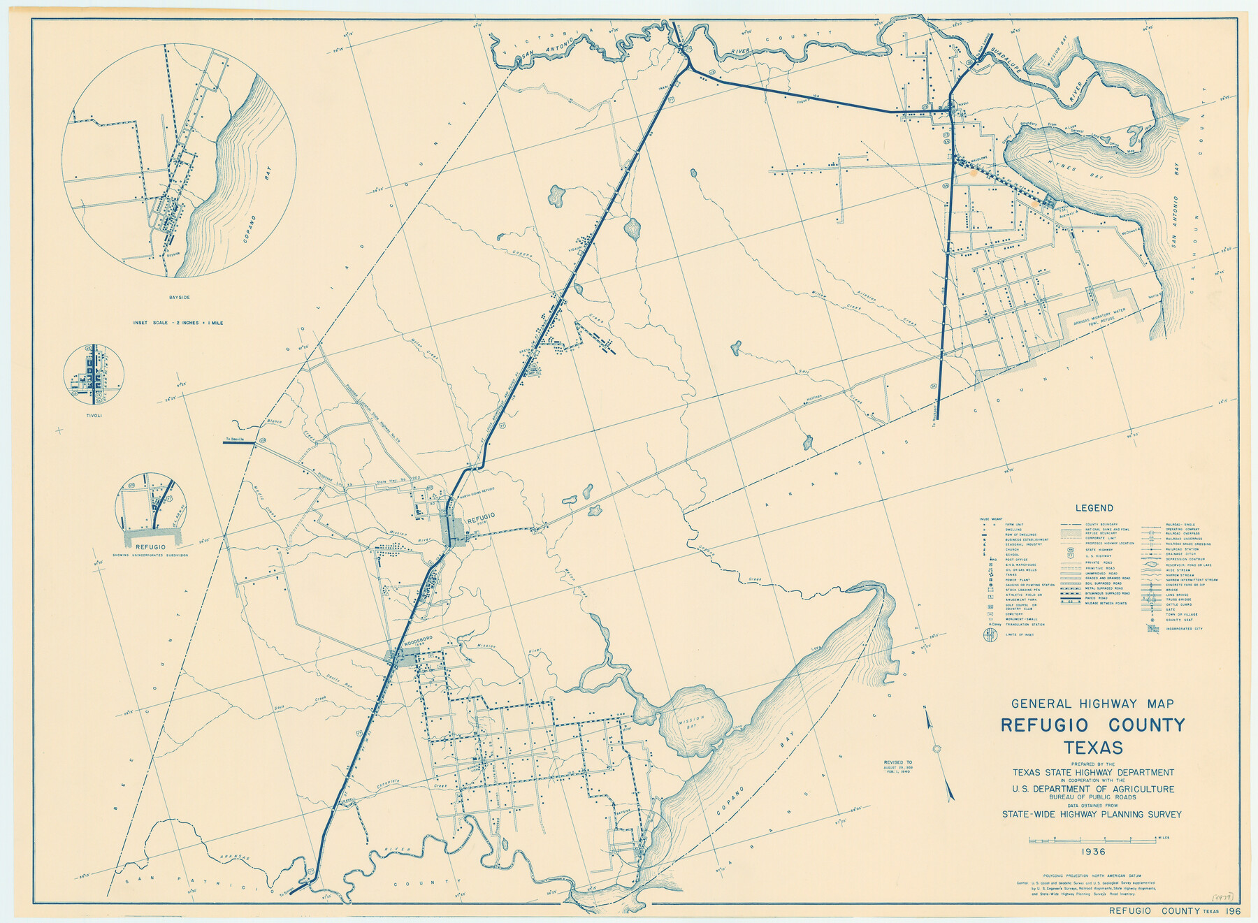
General Highway Map, Refugio County, Texas
-
Map/Doc
79228
-
Collection
Texas State Library and Archives
-
Object Dates
1940 (Creation Date)
-
People and Organizations
Texas State Highway Department (Publisher)
-
Counties
Refugio
-
Subjects
County
-
Height x Width
18.3 x 25.0 inches
46.5 x 63.5 cm
-
Comments
Prints available courtesy of the Texas State Library and Archives.
More info can be found here: TSLAC Map 04979
Part of: Texas State Library and Archives
General Highway Map, Roberts County, Texas

Print $20.00
General Highway Map, Roberts County, Texas
1961
Size 18.2 x 24.4 inches
Map/Doc 79640
Rand McNally Standard Map of Texas

Print $20.00
Rand McNally Standard Map of Texas
1923
Size 27.6 x 40.3 inches
Map/Doc 76261
General Highway Map, Robertson County, Texas

Print $20.00
General Highway Map, Robertson County, Texas
1940
Size 18.3 x 24.8 inches
Map/Doc 79230
General Highway Map, Gonzales County, Texas

Print $20.00
General Highway Map, Gonzales County, Texas
1961
Size 18.2 x 24.7 inches
Map/Doc 79482
General Highway Map, Hays County, Texas

Print $20.00
General Highway Map, Hays County, Texas
1961
Size 18.1 x 24.7 inches
Map/Doc 79513
General Highway Map, Childress County, Texas

Print $20.00
General Highway Map, Childress County, Texas
1940
Size 18.3 x 25.2 inches
Map/Doc 79046
General Highway Map, Gray County, Texas

Print $20.00
General Highway Map, Gray County, Texas
1961
Size 18.1 x 24.7 inches
Map/Doc 79483
Official Railroad and County Map of Texas

Print $40.00
Official Railroad and County Map of Texas
1914
Size 45.8 x 48.6 inches
Map/Doc 76233
General Highway Map, Cottle County, Texas

Print $20.00
General Highway Map, Cottle County, Texas
1940
Size 18.3 x 25.2 inches
Map/Doc 79060
General Highway Map, Dickens County, Texas

Print $20.00
General Highway Map, Dickens County, Texas
1940
Size 18.3 x 25.3 inches
Map/Doc 79076
Preliminary Chart No. 31 of the Sea Coast of the United States from Galveston Bay to Matagorda Bay, Texas

Print $20.00
Preliminary Chart No. 31 of the Sea Coast of the United States from Galveston Bay to Matagorda Bay, Texas
1857
Size 21.6 x 37.2 inches
Map/Doc 76212
General Highway Map, Duval County, Texas

Print $20.00
General Highway Map, Duval County, Texas
1940
Size 18.5 x 25.0 inches
Map/Doc 79079
You may also like
Irion County Rolled Sketch 18A

Print $20.00
- Digital $50.00
Irion County Rolled Sketch 18A
Size 45.5 x 29.8 inches
Map/Doc 6327
Maps of Gulf Intracoastal Waterway, Texas - Sabine River to the Rio Grande and connecting waterways including ship channels

Print $20.00
- Digital $50.00
Maps of Gulf Intracoastal Waterway, Texas - Sabine River to the Rio Grande and connecting waterways including ship channels
1966
Size 14.5 x 22.2 inches
Map/Doc 61963
The Judicial District/County of Burnet. Abolished, Spring 1842

Print $20.00
The Judicial District/County of Burnet. Abolished, Spring 1842
2020
Size 19.2 x 21.6 inches
Map/Doc 96324
[Sketch fragment in Garza and Crosby Counties]
![90855, [Sketch fragment in Garza and Crosby Counties], Twichell Survey Records](https://historictexasmaps.com/wmedia_w700/maps/90855-2.tif.jpg)
Print $20.00
- Digital $50.00
[Sketch fragment in Garza and Crosby Counties]
Size 32.6 x 17.0 inches
Map/Doc 90855
Presidio County Sketch File 120

Print $16.00
- Digital $50.00
Presidio County Sketch File 120
Size 14.2 x 8.8 inches
Map/Doc 34934
Clay County Working Sketch Graphic Index

Print $40.00
- Digital $50.00
Clay County Working Sketch Graphic Index
1971
Size 58.4 x 34.3 inches
Map/Doc 76494
Map of Castro's Colony - Bexar District

Print $20.00
- Digital $50.00
Map of Castro's Colony - Bexar District
1851
Size 36.4 x 33.1 inches
Map/Doc 1962
Gregg County Working Sketch 8

Print $20.00
- Digital $50.00
Gregg County Working Sketch 8
1936
Size 26.0 x 23.3 inches
Map/Doc 63274
Flight Mission No. DIX-8P, Frame 70, Aransas County

Print $20.00
- Digital $50.00
Flight Mission No. DIX-8P, Frame 70, Aransas County
1956
Size 18.7 x 22.4 inches
Map/Doc 83901
Howard County Boundary File 2c

Print $44.00
- Digital $50.00
Howard County Boundary File 2c
Size 5.0 x 8.9 inches
Map/Doc 55126
Nacogdoches County Sketch File 21

Print $20.00
- Digital $50.00
Nacogdoches County Sketch File 21
1837
Size 9.4 x 5.5 inches
Map/Doc 32286
Jarrott Ranch Yeso, New Mexico

Print $20.00
- Digital $50.00
Jarrott Ranch Yeso, New Mexico
Size 26.3 x 19.8 inches
Map/Doc 92423