[Sketch fragment in Garza and Crosby Counties]
85-23B
-
Map/Doc
90855
-
Collection
Twichell Survey Records
-
Counties
Garza Crosby
-
Height x Width
32.6 x 17.0 inches
82.8 x 43.2 cm
Part of: Twichell Survey Records
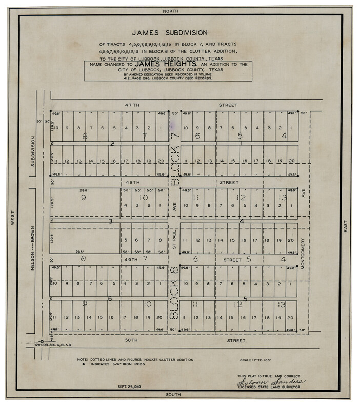
James Heights, an addition to the City of Lubbock - tracts 4, 5, 6, 7, 8, 9, 10, 11, 12, 13 in Block 7, and tracts 4, 5, 6, 7, 8, 9, 10, 11, 12, 13 in Block 8 of the Clutter Addition

Print $3.00
- Digital $50.00
James Heights, an addition to the City of Lubbock - tracts 4, 5, 6, 7, 8, 9, 10, 11, 12, 13 in Block 7, and tracts 4, 5, 6, 7, 8, 9, 10, 11, 12, 13 in Block 8 of the Clutter Addition
1949
Size 10.1 x 11.4 inches
Map/Doc 92704
[Surveys along Halls Creek and Troublesome Creek]
![90934, [Surveys along Halls Creek and Troublesome Creek], Twichell Survey Records](https://historictexasmaps.com/wmedia_w700/maps/90934-1.tif.jpg)
![90934, [Surveys along Halls Creek and Troublesome Creek], Twichell Survey Records](https://historictexasmaps.com/wmedia_w700/maps/90934-1.tif.jpg)
Print $20.00
- Digital $50.00
[Surveys along Halls Creek and Troublesome Creek]
Size 34.1 x 28.6 inches
Map/Doc 90934
[Southwest part of B. S. & F. Block and surveys to the south]
![90389, [Southwest part of B. S. & F. Block and surveys to the south], Twichell Survey Records](https://historictexasmaps.com/wmedia_w700/maps/90389-1.tif.jpg)
![90389, [Southwest part of B. S. & F. Block and surveys to the south], Twichell Survey Records](https://historictexasmaps.com/wmedia_w700/maps/90389-1.tif.jpg)
Print $3.00
- Digital $50.00
[Southwest part of B. S. & F. Block and surveys to the south]
Size 11.1 x 10.3 inches
Map/Doc 90389
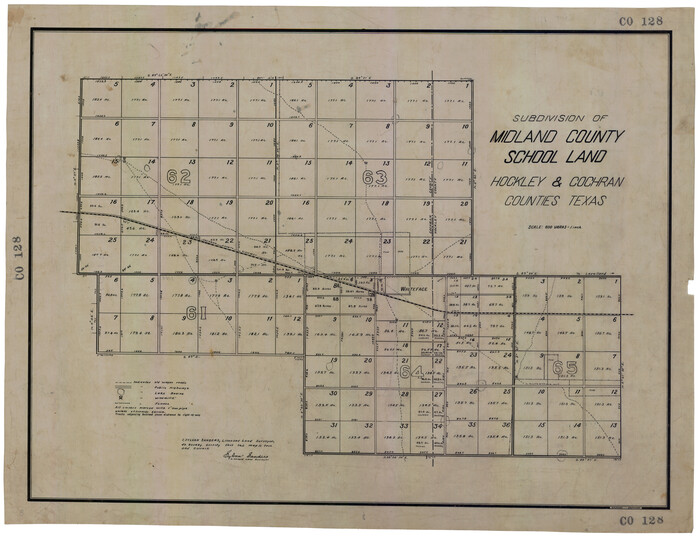
Subdivision of Midland County School Land, Hockley and Cochran Counties, Texas

Print $20.00
- Digital $50.00
Subdivision of Midland County School Land, Hockley and Cochran Counties, Texas
Size 30.5 x 23.3 inches
Map/Doc 92517
Tech Memorial Park, Inc. Section Q


Print $20.00
- Digital $50.00
Tech Memorial Park, Inc. Section Q
Size 34.8 x 21.2 inches
Map/Doc 92357
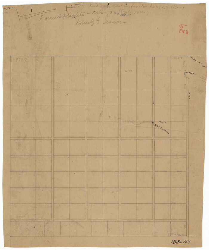
Famous Heights Addn. Amarillo, Texas

Print $2.00
- Digital $50.00
Famous Heights Addn. Amarillo, Texas
Size 8.3 x 9.8 inches
Map/Doc 91700
[Southwest corner of Runnels County School Land League 3]
![91586, [Southwest corner of Runnels County School Land League 3], Twichell Survey Records](https://historictexasmaps.com/wmedia_w700/maps/91586-1.tif.jpg)
![91586, [Southwest corner of Runnels County School Land League 3], Twichell Survey Records](https://historictexasmaps.com/wmedia_w700/maps/91586-1.tif.jpg)
Print $2.00
- Digital $50.00
[Southwest corner of Runnels County School Land League 3]
1927
Size 14.2 x 8.7 inches
Map/Doc 91586
[Blocks 1, 2, 8, B4, B5 and others in vicinity]
![91816, [Blocks 1, 2, 8, B4, B5 and others in vicinity], Twichell Survey Records](https://historictexasmaps.com/wmedia_w700/maps/91816-1.tif.jpg)
![91816, [Blocks 1, 2, 8, B4, B5 and others in vicinity], Twichell Survey Records](https://historictexasmaps.com/wmedia_w700/maps/91816-1.tif.jpg)
Print $20.00
- Digital $50.00
[Blocks 1, 2, 8, B4, B5 and others in vicinity]
Size 29.1 x 32.6 inches
Map/Doc 91816
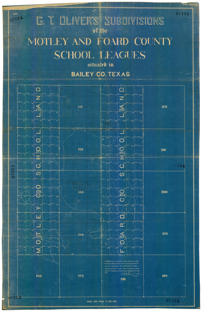
G. T. Oliver's Subdivisions of the Motley and Foard County School Leagues situated in Bailey County, Texas

Print $20.00
- Digital $50.00
G. T. Oliver's Subdivisions of the Motley and Foard County School Leagues situated in Bailey County, Texas
1909
Size 24.6 x 37.4 inches
Map/Doc 92534
Jeff Davis Co.


Print $20.00
- Digital $50.00
Jeff Davis Co.
1915
Size 26.0 x 28.0 inches
Map/Doc 92174
Soash-White Industrial Properties


Print $20.00
- Digital $50.00
Soash-White Industrial Properties
Size 37.4 x 24.9 inches
Map/Doc 92776
You may also like
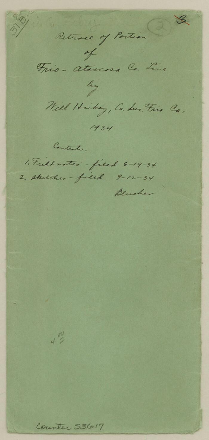
Frio County Boundary File 31b

Print $72.00
- Digital $50.00
Frio County Boundary File 31b
Size 9.4 x 4.5 inches
Map/Doc 53617
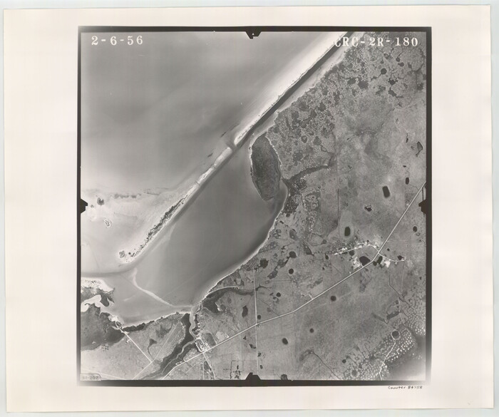
Flight Mission No. CRC-2R, Frame 180, Chambers County

Print $20.00
- Digital $50.00
Flight Mission No. CRC-2R, Frame 180, Chambers County
1956
Size 18.7 x 22.4 inches
Map/Doc 84758
Chambers County NRC Article 33.136 Location Key Sheet


Print $20.00
- Digital $50.00
Chambers County NRC Article 33.136 Location Key Sheet
1982
Size 27.0 x 22.3 inches
Map/Doc 82999
Harris County Sketch File 63

Print $21.00
- Digital $50.00
Harris County Sketch File 63
Size 4.3 x 6.4 inches
Map/Doc 25493
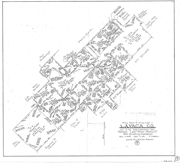
Lavaca County Working Sketch 19

Print $20.00
- Digital $50.00
Lavaca County Working Sketch 19
1980
Size 26.9 x 29.6 inches
Map/Doc 70372
Matagorda County Rolled Sketch 37C


Print $20.00
- Digital $50.00
Matagorda County Rolled Sketch 37C
Size 11.6 x 14.3 inches
Map/Doc 10197
Throckmorton County
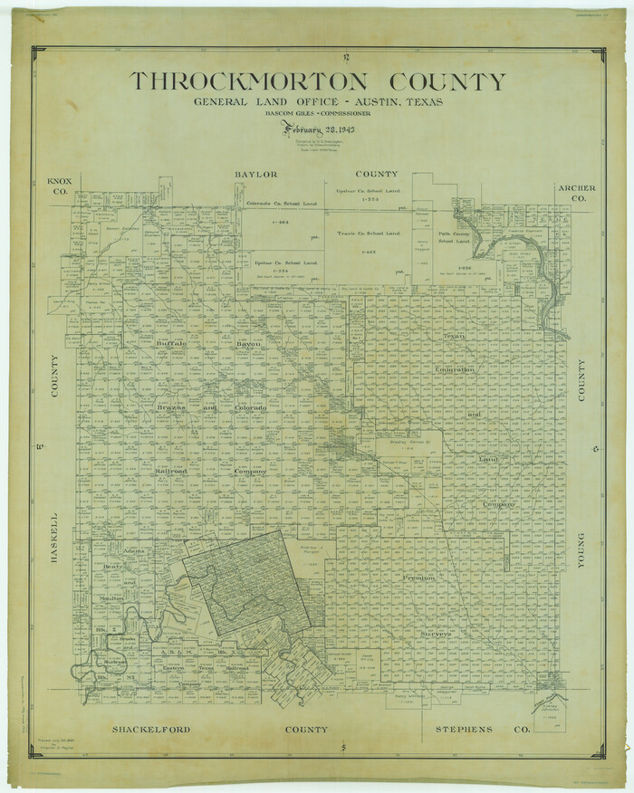

Print $20.00
- Digital $50.00
Throckmorton County
1943
Size 47.8 x 38.2 inches
Map/Doc 63065
Intracoastal Waterway in Texas - Corpus Christi to Point Isabel including Arroyo Colorado to Mo. Pac. R.R. Bridge Near Harlingen


Print $20.00
- Digital $50.00
Intracoastal Waterway in Texas - Corpus Christi to Point Isabel including Arroyo Colorado to Mo. Pac. R.R. Bridge Near Harlingen
1933
Size 28.0 x 41.0 inches
Map/Doc 61860
Hemphill County Sketch File 10
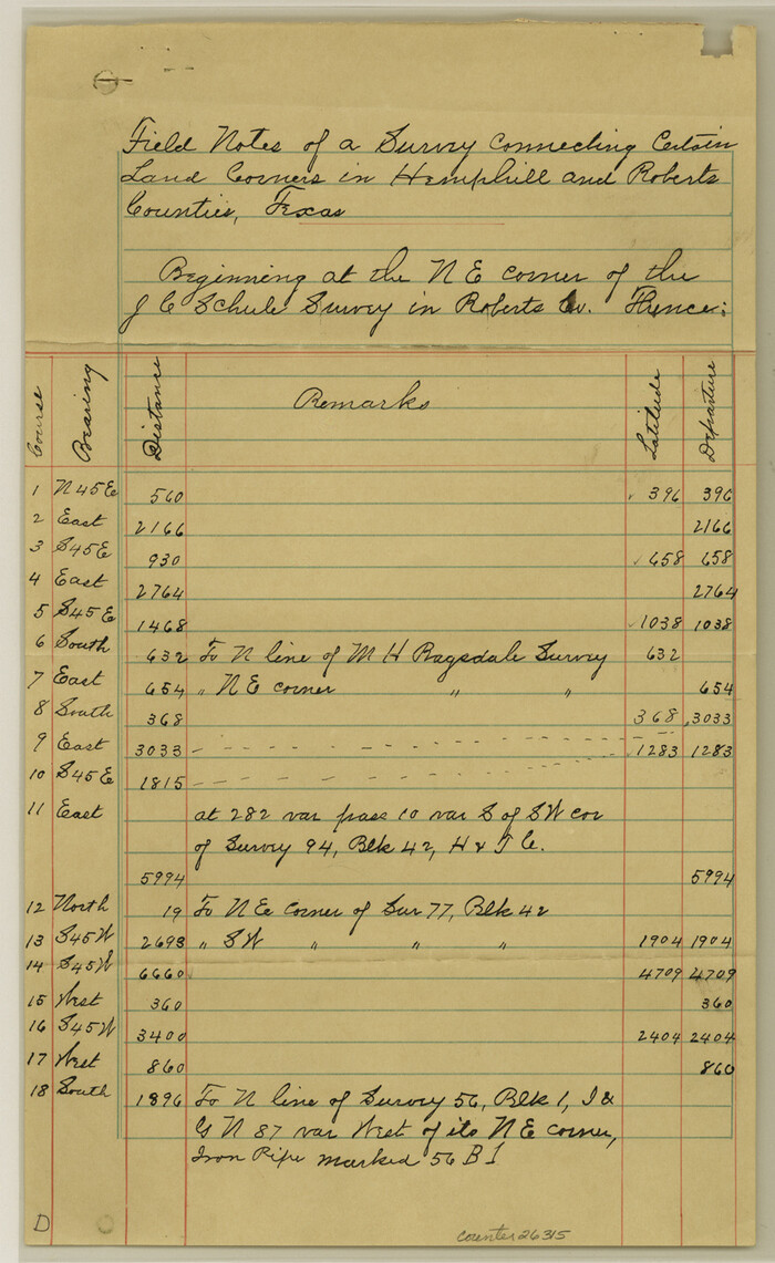

Print $6.00
- Digital $50.00
Hemphill County Sketch File 10
1903
Size 14.3 x 8.8 inches
Map/Doc 26315
San Patricio County Rolled Sketch 31


Print $20.00
- Digital $50.00
San Patricio County Rolled Sketch 31
1941
Size 43.1 x 42.6 inches
Map/Doc 9898
Montgomery County Sketch File 26
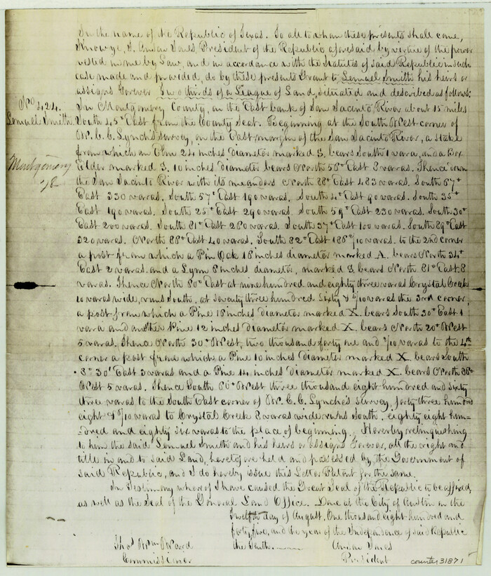

Print $6.00
- Digital $50.00
Montgomery County Sketch File 26
1845
Size 13.4 x 11.4 inches
Map/Doc 31871
Atascosa County Sketch File 26


Print $4.00
- Digital $50.00
Atascosa County Sketch File 26
Size 8.2 x 12.7 inches
Map/Doc 13794
![90855, [Sketch fragment in Garza and Crosby Counties], Twichell Survey Records](https://historictexasmaps.com/wmedia_w1800h1800/maps/90855-2.tif.jpg)
![89627, [Blks. 46 & 47], Twichell Survey Records](https://historictexasmaps.com/wmedia_w700/maps/89627-1.tif.jpg)