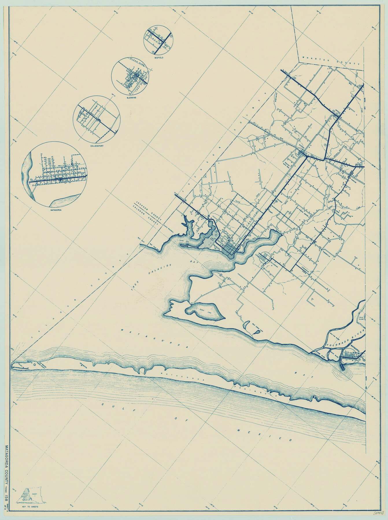
General Highway Map, Matagorda County, Texas
-
Map/Doc
79188
-
Collection
Texas State Library and Archives
-
Object Dates
1939 (Creation Date)
-
People and Organizations
Texas State Highway Department (Publisher)
-
Counties
Matagorda
-
Subjects
County
-
Height x Width
24.6 x 18.4 inches
62.5 x 46.7 cm
-
Comments
Prints available courtesy of the Texas State Library and Archives.
More info can be found here: TSLAC Map 04943
Part of: Texas State Library and Archives
General Highway Map, Kleberg County, Texas

Print $20.00
General Highway Map, Kleberg County, Texas
1940
Size 24.7 x 18.2 inches
Map/Doc 79164
General Highway Map, Milam County, Texas

Print $20.00
General Highway Map, Milam County, Texas
1940
Size 18.5 x 24.8 inches
Map/Doc 79198
General Highway Map. Detail of Cities and Towns in Tarrant County, Texas [Fort Worth and vicinity]
![79253, General Highway Map. Detail of Cities and Towns in Tarrant County, Texas [Fort Worth and vicinity], Texas State Library and Archives](https://historictexasmaps.com/wmedia_w700/maps/79253-GC.tif.jpg)
Print $20.00
General Highway Map. Detail of Cities and Towns in Tarrant County, Texas [Fort Worth and vicinity]
1940
Size 24.8 x 18.4 inches
Map/Doc 79253
General Highway Map, San Saba County, Texas

Print $20.00
General Highway Map, San Saba County, Texas
1940
Size 18.3 x 24.8 inches
Map/Doc 79238
General Highway Map, Leon County, Texas

Print $20.00
General Highway Map, Leon County, Texas
1940
Size 18.3 x 24.9 inches
Map/Doc 79172
General Highway Map, Robertson County, Texas

Print $20.00
General Highway Map, Robertson County, Texas
1940
Size 18.3 x 24.8 inches
Map/Doc 79230
General Highway Map, Starr County, Texas

Print $20.00
General Highway Map, Starr County, Texas
1961
Size 25.1 x 18.3 inches
Map/Doc 79659
Correct Map of the Railway and Steamship Lines operated by the Southern Pacific Company

Print $20.00
Correct Map of the Railway and Steamship Lines operated by the Southern Pacific Company
1894
Size 17.1 x 40.1 inches
Map/Doc 79322
General Highway Map, Menard County, Texas

Print $20.00
General Highway Map, Menard County, Texas
1940
Size 18.5 x 24.8 inches
Map/Doc 79196
Topographisch-geognostische Karte von Texas

Print $20.00
Topographisch-geognostische Karte von Texas
1849
Size 23.8 x 21.1 inches
Map/Doc 76241
General Highway Map, Collingsworth County, Texas

Print $20.00
General Highway Map, Collingsworth County, Texas
1961
Size 18.1 x 24.6 inches
Map/Doc 79415
General Highway Map, Hidalgo County, Texas

Print $20.00
General Highway Map, Hidalgo County, Texas
1940
Size 18.4 x 25.0 inches
Map/Doc 79128
You may also like
Val Verde County Working Sketch 89

Print $20.00
- Digital $50.00
Val Verde County Working Sketch 89
1974
Size 24.5 x 29.0 inches
Map/Doc 72224
Wharton County Rolled Sketch 13

Print $20.00
- Digital $50.00
Wharton County Rolled Sketch 13
1990
Size 22.4 x 28.1 inches
Map/Doc 8238
Map of Littlefield's Subdivision of State Capitol Leagues 657- 687

Print $20.00
- Digital $50.00
Map of Littlefield's Subdivision of State Capitol Leagues 657- 687
Size 38.0 x 29.2 inches
Map/Doc 91025
Hays County Sketch File C

Print $40.00
- Digital $50.00
Hays County Sketch File C
Size 17.9 x 14.6 inches
Map/Doc 26197
Shackelford County Working Sketch 12

Print $20.00
- Digital $50.00
Shackelford County Working Sketch 12
1998
Size 27.0 x 22.3 inches
Map/Doc 63852
Bexar County Sketch File 36a

Print $10.00
- Digital $50.00
Bexar County Sketch File 36a
1873
Size 11.3 x 8.8 inches
Map/Doc 14507
Sutton County Working Sketch 25

Print $40.00
- Digital $50.00
Sutton County Working Sketch 25
Size 69.4 x 37.1 inches
Map/Doc 62368
Crane County Sketch File A10

Print $20.00
- Digital $50.00
Crane County Sketch File A10
Size 18.0 x 24.7 inches
Map/Doc 11214
Duval County Rolled Sketch 5

Print $20.00
- Digital $50.00
Duval County Rolled Sketch 5
1929
Size 23.0 x 16.8 inches
Map/Doc 5732
Bowie County Working Sketch 24

Print $20.00
- Digital $50.00
Bowie County Working Sketch 24
1974
Size 47.1 x 40.1 inches
Map/Doc 67428

Tyler County Sketch File 26

Print $26.00
- Digital $50.00
Tyler County Sketch File 26
1955
Size 14.5 x 8.8 inches
Map/Doc 38693