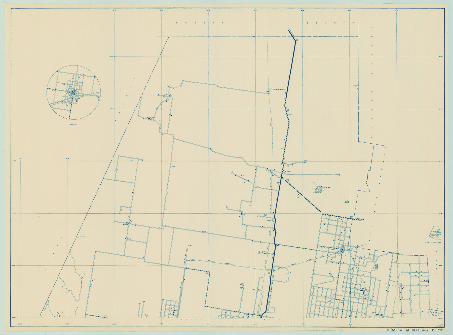
General Highway Map, Hidalgo County, Texas
-
Map/Doc
79128
-
Collection
Texas State Library and Archives
-
Object Dates
1940 (Creation Date)
-
People and Organizations
Texas State Highway Department (Publisher)
-
Counties
Hidalgo
-
Subjects
County
-
Height x Width
18.4 x 25.0 inches
46.7 x 63.5 cm
-
Comments
Prints available courtesy of the Texas State Library and Archives.
More info can be found here: TSLAC Map 04892
Part of: Texas State Library and Archives
General Highway Map, Callahan County, Texas

Print $20.00
General Highway Map, Callahan County, Texas
1940
Size 25.3 x 18.4 inches
Map/Doc 79037
Preliminary Chart of San Luis Pass, Texas

Print $20.00
Preliminary Chart of San Luis Pass, Texas
1853
Size 16.4 x 21.2 inches
Map/Doc 76251
General Highway Map. Detail of Cities and Towns in Bell County, Texas [Temple]
![79368, General Highway Map. Detail of Cities and Towns in Bell County, Texas [Temple], Texas State Library and Archives](https://historictexasmaps.com/wmedia_w700/maps/79368.tif.jpg)
Print $20.00
General Highway Map. Detail of Cities and Towns in Bell County, Texas [Temple]
1961
Size 18.2 x 25.0 inches
Map/Doc 79368
General Highway Map. Detail of Cities and Towns in Harris County, Texas. City Map [of] Houston, Pasadena, West University Place, Bellaire, Galena Park, Jacinto City, South Houston, South Side Place, Deer Park, and vicinity, Harris County, Texas
![79507, General Highway Map. Detail of Cities and Towns in Harris County, Texas. City Map [of] Houston, Pasadena, West University Place, Bellaire, Galena Park, Jacinto City, South Houston, South Side Place, Deer Park, and vicinity, Harris County, Texas, Texas State Library and Archives](https://historictexasmaps.com/wmedia_w700/maps/79507.tif.jpg)
Print $20.00
General Highway Map. Detail of Cities and Towns in Harris County, Texas. City Map [of] Houston, Pasadena, West University Place, Bellaire, Galena Park, Jacinto City, South Houston, South Side Place, Deer Park, and vicinity, Harris County, Texas
1961
Size 18.1 x 24.7 inches
Map/Doc 79507
General Highway Map, Lubbock County, Texas

Print $20.00
General Highway Map, Lubbock County, Texas
1940
Size 18.3 x 24.7 inches
Map/Doc 79180
General Highway Map, Winkler County, Texas

Print $20.00
General Highway Map, Winkler County, Texas
1961
Size 18.2 x 24.8 inches
Map/Doc 79717
Phelps and Watson's Historical and Military Map of the Border and Southern States

Print $20.00
Phelps and Watson's Historical and Military Map of the Border and Southern States
1863
Size 25.5 x 36.3 inches
Map/Doc 76202
General Highway Map, Irion County, Texas

Print $20.00
General Highway Map, Irion County, Texas
1940
Size 18.3 x 24.8 inches
Map/Doc 79138
Map of Texas to Accompany Granger's Southern and Western Texas Guide

Print $20.00
Map of Texas to Accompany Granger's Southern and Western Texas Guide
1878
Size 26.4 x 20.4 inches
Map/Doc 76235
General Highway Map, Reagan County, Texas

Print $20.00
General Highway Map, Reagan County, Texas
1961
Size 24.6 x 18.2 inches
Map/Doc 79636
A Map of Texas Showing the State Parks and the Municipal Parks

Print $20.00
A Map of Texas Showing the State Parks and the Municipal Parks
1936
Size 34.8 x 37.5 inches
Map/Doc 76311
Official Map of the State of Texas to accompany the Statistical and Descriptive Work, "Resources, Soil and Climate of Texas"

Print $20.00
Official Map of the State of Texas to accompany the Statistical and Descriptive Work, "Resources, Soil and Climate of Texas"
1882
Size 32.3 x 34.4 inches
Map/Doc 76257
You may also like
Stonewall County Sketch File 19

Print $20.00
- Digital $50.00
Stonewall County Sketch File 19
Size 33.2 x 33.6 inches
Map/Doc 10392
Hopkins County Sketch File 17

Print $6.00
- Digital $50.00
Hopkins County Sketch File 17
1870
Size 7.8 x 8.0 inches
Map/Doc 26720
[Sketch showing B. S. & F. Block 9]
![91743, [Sketch showing B. S. & F. Block 9], Twichell Survey Records](https://historictexasmaps.com/wmedia_w700/maps/91743-1.tif.jpg)
Print $20.00
- Digital $50.00
[Sketch showing B. S. & F. Block 9]
Size 25.1 x 34.1 inches
Map/Doc 91743
Dallas County Working Sketch 6

Print $20.00
- Digital $50.00
Dallas County Working Sketch 6
1947
Size 16.7 x 25.9 inches
Map/Doc 68572
Bird's Eye View of the City of Belton, Bell County, Texas

Print $20.00
Bird's Eye View of the City of Belton, Bell County, Texas
1881
Size 18.5 x 23.8 inches
Map/Doc 89074
Presidio County Sketch File 72

Print $6.00
- Digital $50.00
Presidio County Sketch File 72
1943
Size 13.3 x 8.8 inches
Map/Doc 34679
Hopkins County Boundary File 3a

Print $4.00
- Digital $50.00
Hopkins County Boundary File 3a
Size 10.7 x 8.7 inches
Map/Doc 55082
Parker County Working Sketch 26

Print $20.00
- Digital $50.00
Parker County Working Sketch 26
2008
Map/Doc 88856
Matagorda County Working Sketch 2

Print $20.00
- Digital $50.00
Matagorda County Working Sketch 2
Size 32.6 x 37.0 inches
Map/Doc 70860
A Traveler's Map of Spain and Portugal

A Traveler's Map of Spain and Portugal
Size 22.8 x 36.3 inches
Map/Doc 95938
Flight Mission No. DIX-5P, Frame 116, Aransas County

Print $20.00
- Digital $50.00
Flight Mission No. DIX-5P, Frame 116, Aransas County
1956
Size 17.8 x 18.1 inches
Map/Doc 83795
Jefferson County Rolled Sketch 25

Print $20.00
- Digital $50.00
Jefferson County Rolled Sketch 25
1939
Size 43.4 x 36.0 inches
Map/Doc 9290