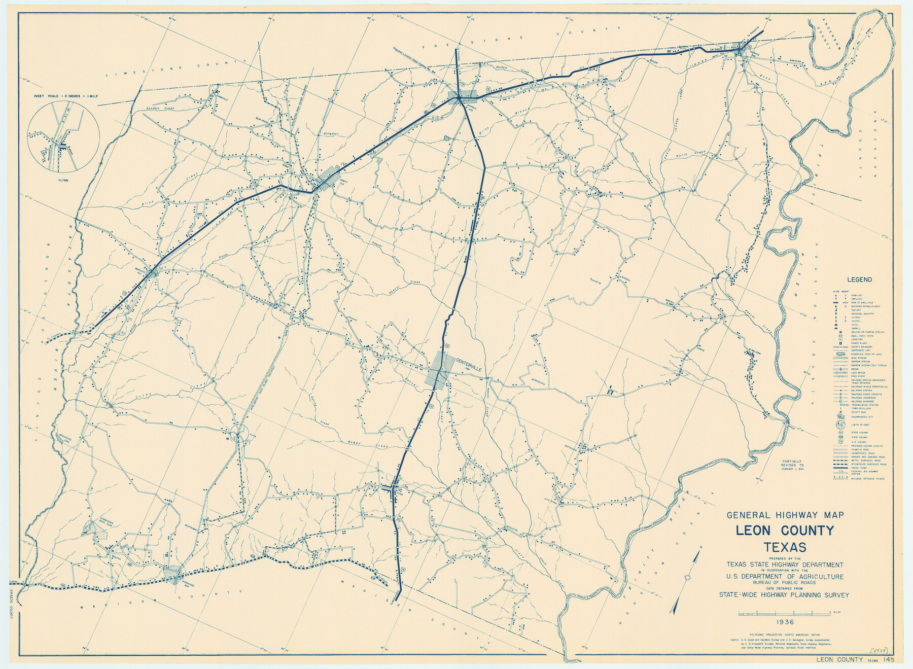
General Highway Map, Leon County, Texas
- 
                          Map/Doc
79172
 - 
                            Collection
Texas State Library and Archives
 - 
                            Object Dates
1940 (Creation Date)
 - 
                            People and Organizations
Texas State Highway Department (Publisher)
 - 
                            Counties
Leon
 - 
                            Subjects
County
 - 
                            Height x Width
18.3 x 24.9 inches
46.5 x 63.3 cm
 - 
                            Comments
Prints available courtesy of the Texas State Library and Archives.
More info can be found here: TSLAC Map 04929 
Part of: Texas State Library and Archives
            General Highway Map.  Detail of Cities and Towns in Hays County, Texas   [San Marcos and vicinity]


                                            Print $20.00                    
                                    
                General Highway Map. Detail of Cities and Towns in Hays County, Texas [San Marcos and vicinity]
1961
Size 17.9 x 24.5 inches
                                Map/Doc 79514
            
            Oil and Gas Fields in the State of Texas


                                            Print $40.00                    
                                    
                Oil and Gas Fields in the State of Texas
1927
Size 58.0 x 38.0 inches
                                Map/Doc 76304
            
            General Highway Map, Atascosa County, Texas


                                            Print $20.00                    
                                    
                General Highway Map, Atascosa County, Texas
1961
Size 18.3 x 25.0 inches
                                Map/Doc 79355
            
            General Highway Map, Jasper County, Texas


                                            Print $20.00                    
                                    
                General Highway Map, Jasper County, Texas
1961
Size 18.2 x 24.8 inches
                                Map/Doc 79534
            
            Reconnoissance of Sabine Pass


                                            Print $20.00                    
                                    
                Reconnoissance of Sabine Pass
1853
Size 12.4 x 10.3 inches
                                Map/Doc 76281
            
            Karte des Staates, Texas


                                            Print $20.00                    
                                    
                Karte des Staates, Texas
1851
Size 27.2 x 30.1 inches
                                Map/Doc 76262
            
            General Highway Map, Crockett County, Texas


                                            Print $20.00                    
                                    
                General Highway Map, Crockett County, Texas
1961
Size 18.1 x 24.6 inches
                                Map/Doc 79425
            
            General Highway Map, Tom Green County, Texas


                                            Print $20.00                    
                                    
                General Highway Map, Tom Green County, Texas
1940
Size 24.9 x 18.3 inches
                                Map/Doc 79259
            
            The Federal Aid Highway System Progress Map


                                            Print $20.00                    
                                    
                The Federal Aid Highway System Progress Map
1931
Size 31.4 x 22.1 inches
                                Map/Doc 79745
            
            Reconnaissance of Aransas Pass, Texas


                                            Print $20.00                    
                                    
                Reconnaissance of Aransas Pass, Texas
1853
Size 14.9 x 12.4 inches
                                Map/Doc 76250
            
            General Highway Map, Orange County, Texas


                                            Print $20.00                    
                                    
                General Highway Map, Orange County, Texas
1940
Size 18.3 x 24.5 inches
                                Map/Doc 79212
            You may also like
            [Block C-41, Sections 32, 35, 35 1/2, and  vicinity]


                                            Print $20.00                    
                                             -                         Digital $50.00                                    
                [Block C-41, Sections 32, 35, 35 1/2, and vicinity]
Size 23.8 x 19.4 inches
                                Map/Doc 92569
            
            Map of Mason County


                                            Print $20.00                    
                                             -                         Digital $50.00                                    
                Map of Mason County
1859
Size 28.4 x 22.4 inches
                                Map/Doc 3838
            
            Fayette County Boundary File 5


                                            Print $59.00                    
                                             -                         Digital $50.00                                    
                Fayette County Boundary File 5
Size 14.4 x 9.0 inches
                                Map/Doc 53371
            
            Duval County Sketch File 71


                                            Print $4.00                    
                                             -                         Digital $50.00                                    
                Duval County Sketch File 71
1953
Size 15.2 x 9.0 inches
                                Map/Doc 21458
            
            Fort Bend County State Real Property Sketch 9


                                            Print $40.00                    
                                             -                         Digital $50.00                                    
                Fort Bend County State Real Property Sketch 9
1986
Size 34.7 x 43.2 inches
                                Map/Doc 61683
            
            Boundary Between the United States & Mexico Agreed upon by the Joint Commission under the Treaty of Guadalupe Hidalgo


                                            Print $4.00                    
                                             -                         Digital $50.00                                    
                Boundary Between the United States & Mexico Agreed upon by the Joint Commission under the Treaty of Guadalupe Hidalgo
1853
Size 18.2 x 26.8 inches
                                Map/Doc 72879
            
            Flight Mission No. DCL-7C, Frame 44, Kenedy County


                                            Print $20.00                    
                                             -                         Digital $50.00                                    
                Flight Mission No. DCL-7C, Frame 44, Kenedy County
1943
Size 15.4 x 15.2 inches
                                Map/Doc 86032
            
            Louisiana and Texas Intracoastal Waterway - High Island to Port Bolivar Dredging - Sheet 5


                                            Print $20.00                    
                                             -                         Digital $50.00                                    
                Louisiana and Texas Intracoastal Waterway - High Island to Port Bolivar Dredging - Sheet 5
1943
Size 31.4 x 41.8 inches
                                Map/Doc 61824
            
            Kleberg County


                                            Print $20.00                    
                                             -                         Digital $50.00                                    
                Kleberg County
1913
Size 27.2 x 34.4 inches
                                Map/Doc 5006
            
            Ellis County Sketch File 15


                                            Print $40.00                    
                                             -                         Digital $50.00                                    
                Ellis County Sketch File 15
1861
Size 15.7 x 12.5 inches
                                Map/Doc 21856
            
            Glasscock County Sketch File 21


                                            Print $20.00                    
                                             -                         Digital $50.00                                    
                Glasscock County Sketch File 21
1936
Size 23.1 x 20.3 inches
                                Map/Doc 11564
            
            Brewster County Rolled Sketch 114


                                            Print $20.00                    
                                             -                         Digital $50.00                                    
                Brewster County Rolled Sketch 114
1964
Size 11.7 x 18.4 inches
                                Map/Doc 5265