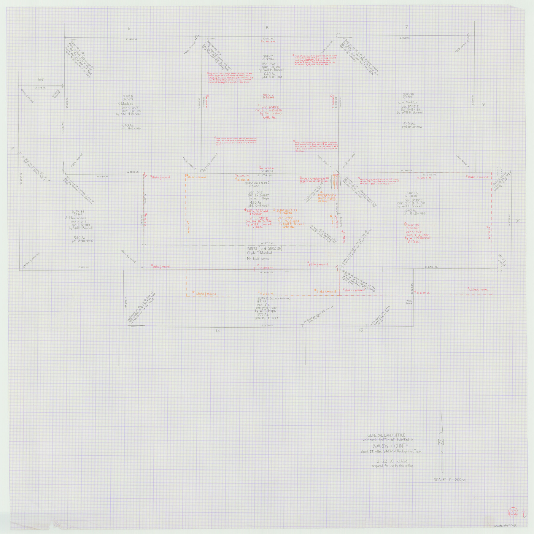
Edwards County Working Sketch 132
-
Map/Doc
69008
-
Collection
General Map Collection
-
Object Dates
2/22/1985 (Creation Date)
-
Counties
Edwards
-
Subjects
Surveying Working Sketch
-
Height x Width
37.1 x 37.1 inches
94.2 x 94.2 cm
-
Scale
1" = 200 varas
Part of: General Map Collection
Coryell County Working Sketch 19

Print $20.00
- Digital $50.00
Coryell County Working Sketch 19
1970
Size 38.7 x 33.2 inches
Map/Doc 68226
Zavala County Sketch File 7

Print $6.00
- Digital $50.00
Zavala County Sketch File 7
Size 9.4 x 16.3 inches
Map/Doc 41265
Newton County Rolled Sketch 17A

Print $655.00
- Digital $50.00
Newton County Rolled Sketch 17A
Size 11.0 x 16.2 inches
Map/Doc 47011
Maverick County Working Sketch 18

Print $20.00
- Digital $50.00
Maverick County Working Sketch 18
1975
Size 44.4 x 35.3 inches
Map/Doc 70910
Blanco County Sketch File 21

Print $6.00
- Digital $50.00
Blanco County Sketch File 21
1881
Size 15.6 x 11.2 inches
Map/Doc 14600
Baylor County Sketch File 15

Print $6.00
- Digital $50.00
Baylor County Sketch File 15
1879
Size 13.0 x 8.4 inches
Map/Doc 14183

Coleman County Working Sketch 5

Print $20.00
- Digital $50.00
Coleman County Working Sketch 5
1928
Size 27.0 x 25.6 inches
Map/Doc 68071
Coleman County Boundary File 17 (3)

Print $36.00
- Digital $50.00
Coleman County Boundary File 17 (3)
Size 22.0 x 5.9 inches
Map/Doc 51654
Brazoria County Sketch File 47

Print $10.00
- Digital $50.00
Brazoria County Sketch File 47
Size 14.3 x 8.9 inches
Map/Doc 15106
Aransas County Aerial Photograph Index Sheet 1

Print $20.00
- Digital $50.00
Aransas County Aerial Photograph Index Sheet 1
1957
Size 22.9 x 18.2 inches
Map/Doc 83659
Trinity County

Print $20.00
- Digital $50.00
Trinity County
1946
Size 42.7 x 43.2 inches
Map/Doc 95656
You may also like
Township 5 North Range 13 West, North Western District, Louisiana

Print $20.00
- Digital $50.00
Township 5 North Range 13 West, North Western District, Louisiana
1885
Size 19.8 x 24.7 inches
Map/Doc 65865
Kimble County Sketch File 33

Print $10.00
- Digital $50.00
Kimble County Sketch File 33
1960
Size 11.2 x 8.8 inches
Map/Doc 28977
[East half of Travis County]
![75802, [East half of Travis County], Maddox Collection](https://historictexasmaps.com/wmedia_w700/maps/75802.tif.jpg)
Print $20.00
- Digital $50.00
[East half of Travis County]
Size 42.5 x 29.8 inches
Map/Doc 75802
Sabine County Working Sketch 6

Print $20.00
- Digital $50.00
Sabine County Working Sketch 6
1918
Size 17.5 x 17.6 inches
Map/Doc 63677
Kinney County Sketch File D

Print $20.00
- Digital $50.00
Kinney County Sketch File D
1885
Size 25.1 x 35.6 inches
Map/Doc 11953
Map of Padre Island Showing Location of Zoning Districts

Print $20.00
- Digital $50.00
Map of Padre Island Showing Location of Zoning Districts
1971
Size 18.6 x 26.1 inches
Map/Doc 4810
Montgomery County Working Sketch 27

Print $20.00
- Digital $50.00
Montgomery County Working Sketch 27
1942
Size 42.1 x 33.4 inches
Map/Doc 71134
Sherman County Rolled Sketch 7

Print $20.00
- Digital $50.00
Sherman County Rolled Sketch 7
1919
Size 32.7 x 19.0 inches
Map/Doc 7787
Leon County Rolled Sketch 2

Print $20.00
- Digital $50.00
Leon County Rolled Sketch 2
Size 30.7 x 34.6 inches
Map/Doc 6606
Working Sketch in Roberts County, H. & G. N. RR Surveys, Block A

Print $20.00
- Digital $50.00
Working Sketch in Roberts County, H. & G. N. RR Surveys, Block A
1922
Size 17.8 x 18.2 inches
Map/Doc 91767
Orange County Sketch File 12

Print $4.00
- Digital $50.00
Orange County Sketch File 12
1876
Size 12.7 x 7.9 inches
Map/Doc 33324
Flight Mission No. DQO-3K, Frame 19, Galveston County

Print $20.00
- Digital $50.00
Flight Mission No. DQO-3K, Frame 19, Galveston County
1952
Size 18.7 x 22.5 inches
Map/Doc 85060