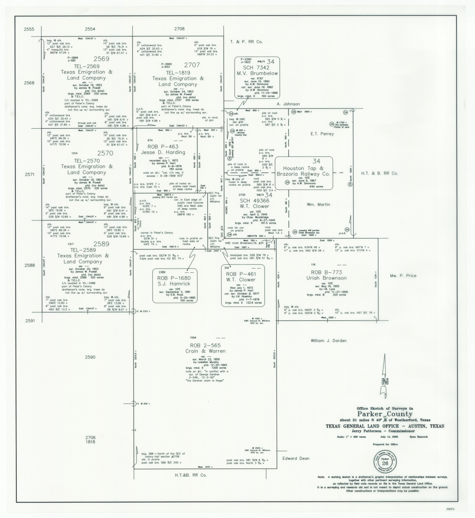
Parker County Working Sketch 26
-
Map/Doc
88856
-
Collection
General Map Collection
-
Object Dates
7/14/2008 (Creation Date)
-
People and Organizations
Jerry E. Patterson (GLO Commissioner)
Ryan Hancock (Draftsman)
-
Counties
Parker
-
Subjects
Surveying Working Sketch
-
Scale
1"= 300 varas
Part of: General Map Collection
Montgomery County Rolled Sketch 17

Print $20.00
- Digital $50.00
Montgomery County Rolled Sketch 17
Size 26.6 x 34.9 inches
Map/Doc 6805
Flight Mission No. DQO-8K, Frame 69, Galveston County

Print $20.00
- Digital $50.00
Flight Mission No. DQO-8K, Frame 69, Galveston County
1952
Size 18.8 x 22.5 inches
Map/Doc 85173
Webb County Boundary File 3a

Print $10.00
- Digital $50.00
Webb County Boundary File 3a
Size 14.2 x 8.7 inches
Map/Doc 59753
City of Austin, Texas - Use District Map

Print $20.00
- Digital $50.00
City of Austin, Texas - Use District Map
1943
Size 38.9 x 25.7 inches
Map/Doc 95705
Terrell County Rolled Sketch 51A

Print $20.00
- Digital $50.00
Terrell County Rolled Sketch 51A
1957
Size 29.1 x 20.6 inches
Map/Doc 7968
Lampasas County Boundary File 9

Print $6.00
- Digital $50.00
Lampasas County Boundary File 9
Size 11.2 x 8.7 inches
Map/Doc 56181
Maps of Gulf Intracoastal Waterway, Texas - Sabine River to the Rio Grande and connecting waterways including ship channels

Print $20.00
- Digital $50.00
Maps of Gulf Intracoastal Waterway, Texas - Sabine River to the Rio Grande and connecting waterways including ship channels
1966
Size 14.3 x 20.7 inches
Map/Doc 61998

Mustang Island

Print $20.00
- Digital $50.00
Mustang Island
1908
Size 34.8 x 26.2 inches
Map/Doc 78670
Starr County Sketch File 34

Print $20.00
- Digital $50.00
Starr County Sketch File 34
1939
Size 15.8 x 17.6 inches
Map/Doc 12337
Maps of Gulf Intracoastal Waterway, Texas - Sabine River to the Rio Grande and connecting waterways including ship channels

Print $20.00
- Digital $50.00
Maps of Gulf Intracoastal Waterway, Texas - Sabine River to the Rio Grande and connecting waterways including ship channels
1966
Size 14.6 x 22.3 inches
Map/Doc 61934

You may also like
Flight Mission No. DQO-11K, Frame 26, Galveston County

Print $20.00
- Digital $50.00
Flight Mission No. DQO-11K, Frame 26, Galveston County
1952
Size 18.8 x 22.5 inches
Map/Doc 85223
Anderson County Sketch File 29

Print $4.00
- Digital $50.00
Anderson County Sketch File 29
1873
Size 10.4 x 8.2 inches
Map/Doc 12814
Glasscock County Working Sketch 10

Print $40.00
- Digital $50.00
Glasscock County Working Sketch 10
1957
Size 77.9 x 37.2 inches
Map/Doc 63183
Garza County Rolled Sketch 7

Print $11.00
- Digital $50.00
Garza County Rolled Sketch 7
1905
Size 10.0 x 15.4 inches
Map/Doc 45229
W. R. and J. M. Baggett's Ranch, Crockett County, Texas

Print $20.00
- Digital $50.00
W. R. and J. M. Baggett's Ranch, Crockett County, Texas
Size 22.8 x 25.5 inches
Map/Doc 92554
Guadalupe County Sketch File 3

Print $4.00
- Digital $50.00
Guadalupe County Sketch File 3
Size 8.0 x 12.6 inches
Map/Doc 24650
Lavaca County Working Sketch 17

Print $20.00
- Digital $50.00
Lavaca County Working Sketch 17
1979
Size 34.7 x 44.6 inches
Map/Doc 70370
Hudspeth County Working Sketch 41

Print $20.00
- Digital $50.00
Hudspeth County Working Sketch 41
1981
Size 18.3 x 37.1 inches
Map/Doc 66326
Map of Duval County

Print $20.00
- Digital $50.00
Map of Duval County
1876
Size 29.6 x 21.5 inches
Map/Doc 3498
Terrell County Working Sketch 38

Print $40.00
- Digital $50.00
Terrell County Working Sketch 38
1950
Size 89.1 x 24.9 inches
Map/Doc 62131
Schleicher County Sketch File 41

Print $6.00
- Digital $50.00
Schleicher County Sketch File 41
1963
Size 16.2 x 9.9 inches
Map/Doc 36544
Starr County Sketch File 10

Print $40.00
- Digital $50.00
Starr County Sketch File 10
Size 12.6 x 15.0 inches
Map/Doc 36863