Stonewall County Sketch File 19
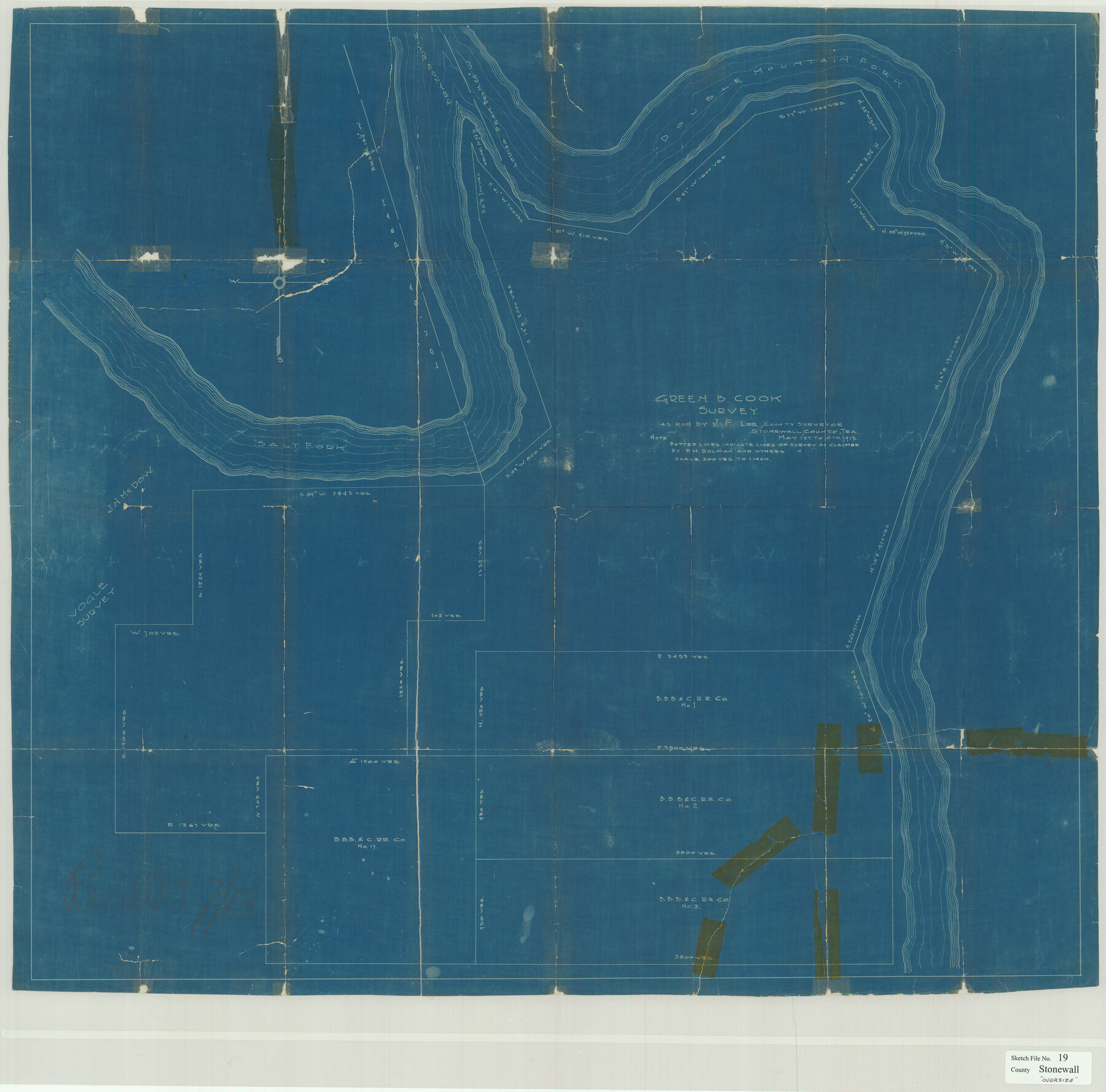
[Sketch of the Green B. Cook survey and B. B. B. & C. R.R. Co. surveys to the south]
-
Map/Doc
10392
-
Collection
General Map Collection
-
Object Dates
10/7/1913 (File Date)
-
Counties
Stonewall Haskell
-
Subjects
Surveying Sketch File
-
Height x Width
33.2 x 33.6 inches
84.3 x 85.3 cm
-
Medium
blueprint/diazo
-
Features
Brazos River
Louisa Peak
Double Mountain Fork [of Brazos River]
Salt Fork [of Brazos River]
Part of: General Map Collection
Flight Mission No. BRE-1P, Frame 129, Nueces County

Print $20.00
- Digital $50.00
Flight Mission No. BRE-1P, Frame 129, Nueces County
1956
Size 18.5 x 22.6 inches
Map/Doc 86695
Webb County Sketch File VOLP

Print $40.00
- Digital $50.00
Webb County Sketch File VOLP
1937
Size 18.9 x 33.8 inches
Map/Doc 12607
Louisiana and Texas Intracoastal Waterway - High Island to Port Bolivar Dredging - Sheet 5

Print $20.00
- Digital $50.00
Louisiana and Texas Intracoastal Waterway - High Island to Port Bolivar Dredging - Sheet 5
1943
Size 31.4 x 41.8 inches
Map/Doc 61824
Foard County Rolled Sketch 13

Print $20.00
- Digital $50.00
Foard County Rolled Sketch 13
1958
Size 25.2 x 31.4 inches
Map/Doc 5887
Leon County Rolled Sketch 7

Print $40.00
- Digital $50.00
Leon County Rolled Sketch 7
1954
Size 55.9 x 35.0 inches
Map/Doc 9428
Loving County Sketch File 9

Print $36.00
- Digital $50.00
Loving County Sketch File 9
2015
Size 14.0 x 8.5 inches
Map/Doc 93794
Flight Mission No. DQN-5K, Frame 56, Calhoun County

Print $20.00
- Digital $50.00
Flight Mission No. DQN-5K, Frame 56, Calhoun County
1953
Size 15.7 x 15.5 inches
Map/Doc 84399
San Saba County Sketch File 3

Print $4.00
- Digital $50.00
San Saba County Sketch File 3
1848
Size 12.5 x 7.9 inches
Map/Doc 36408
Matagorda County Rolled Sketch 37A

Print $40.00
- Digital $50.00
Matagorda County Rolled Sketch 37A
Size 48.7 x 41.1 inches
Map/Doc 10195
Jackson County Working Sketch 11

Print $40.00
- Digital $50.00
Jackson County Working Sketch 11
1994
Size 33.8 x 48.4 inches
Map/Doc 66459

Webb County Sketch File 11

Print $18.00
- Digital $50.00
Webb County Sketch File 11
1883
Size 8.7 x 7.6 inches
Map/Doc 39770
You may also like
Map of Surveys made in Fisher and Miller's Colony

Print $40.00
- Digital $50.00
Map of Surveys made in Fisher and Miller's Colony
1848
Size 48.4 x 57.7 inches
Map/Doc 16830
Brooks County Working Sketch 4

Print $20.00
- Digital $50.00
Brooks County Working Sketch 4
1906
Size 28.6 x 24.9 inches
Map/Doc 67788
General Highway Map, Walker County, Texas

Print $20.00
General Highway Map, Walker County, Texas
1961
Size 24.7 x 18.1 inches
Map/Doc 79698
Fisher County Sketch File 24

Print $37.00
- Digital $50.00
Fisher County Sketch File 24
1875
Size 14.3 x 8.9 inches
Map/Doc 22666
Flight Mission No. DCL-6C, Frame 133, Kenedy County

Print $20.00
- Digital $50.00
Flight Mission No. DCL-6C, Frame 133, Kenedy County
1943
Size 18.6 x 22.3 inches
Map/Doc 85963
Eastern Hemisphere

Print $20.00
- Digital $50.00
Eastern Hemisphere
1885
Size 12.2 x 9.0 inches
Map/Doc 93511
Glasscock County Sketch File 28

Print $40.00
Glasscock County Sketch File 28
1877
Size 15.7 x 15.9 inches
Map/Doc 38163
Flight Mission No. CUG-1P, Frame 108, Kleberg County

Print $20.00
- Digital $50.00
Flight Mission No. CUG-1P, Frame 108, Kleberg County
1956
Size 18.6 x 22.2 inches
Map/Doc 86158
Kerr County Working Sketch 18

Print $20.00
- Digital $50.00
Kerr County Working Sketch 18
1956
Size 25.4 x 29.3 inches
Map/Doc 70049
Isham Tubbs Estate

Print $3.00
- Digital $50.00
Isham Tubbs Estate
1947
Size 15.5 x 9.3 inches
Map/Doc 92304
[Beaumont, Sour Lake and Western Ry. Right of Way and Alignment - Frisco]
![64122, [Beaumont, Sour Lake and Western Ry. Right of Way and Alignment - Frisco], General Map Collection](https://historictexasmaps.com/wmedia_w700/maps/64122.tif.jpg)
Print $20.00
- Digital $50.00
[Beaumont, Sour Lake and Western Ry. Right of Way and Alignment - Frisco]
1910
Size 19.8 x 45.9 inches
Map/Doc 64122
Pecos County Working Sketch 76

Print $20.00
- Digital $50.00
Pecos County Working Sketch 76
1959
Size 26.7 x 40.1 inches
Map/Doc 71548