General Highway Map. Detail of Cities and Towns in Dallas County, Texas [Dallas and vicinity]
-
Map/Doc
79067
-
Collection
Texas State Library and Archives
-
Object Dates
1936 (Creation Date)
-
People and Organizations
Texas State Highway Department (Publisher)
-
Counties
Dallas
-
Subjects
City County
-
Height x Width
18.3 x 25.1 inches
46.5 x 63.8 cm
-
Comments
Prints available courtesy of the Texas State Library and Archives.
More info can be found here: TSLAC Map 04839
Part of: Texas State Library and Archives
General Highway Map, Lubbock County, Texas
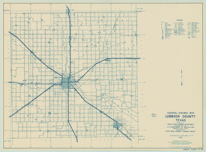

Print $20.00
General Highway Map, Lubbock County, Texas
1940
Size 18.3 x 24.7 inches
Map/Doc 79180
General Highway Map, Bexar County, Texas


Print $20.00
General Highway Map, Bexar County, Texas
1940
Size 18.3 x 25.1 inches
Map/Doc 79017
General Highway Map, Hale County, Texas


Print $20.00
General Highway Map, Hale County, Texas
1940
Size 24.8 x 18.4 inches
Map/Doc 79108
General Highway Map, Montgomery County, Texas
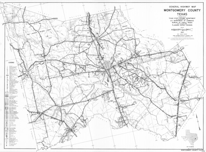

Print $20.00
General Highway Map, Montgomery County, Texas
1961
Size 18.2 x 24.6 inches
Map/Doc 79602
General Highway Map, Starr County, Texas
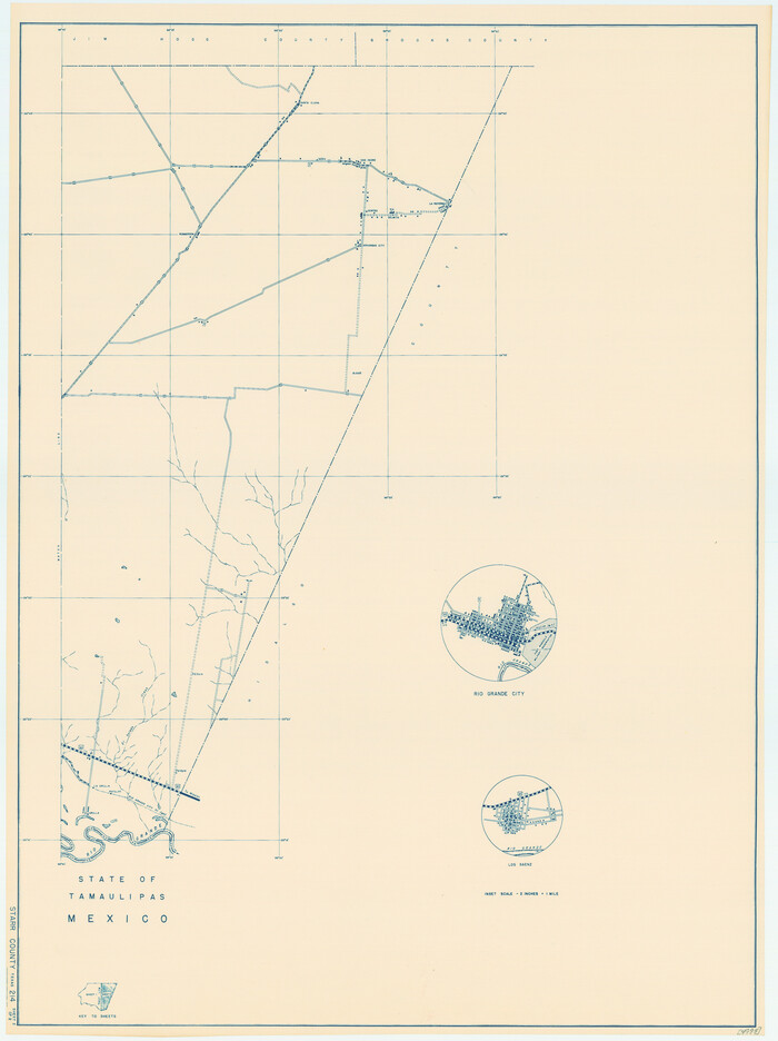

Print $20.00
General Highway Map, Starr County, Texas
1940
Size 24.8 x 18.5 inches
Map/Doc 79246
General Highway Map, Hidalgo County, Texas
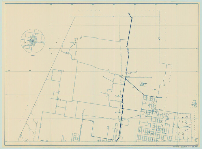

Print $20.00
General Highway Map, Hidalgo County, Texas
1940
Size 18.4 x 25.0 inches
Map/Doc 79128
General Highway Map. Detail of Cities and Towns in Travis County, Texas


Print $20.00
General Highway Map. Detail of Cities and Towns in Travis County, Texas
1961
Size 18.2 x 24.8 inches
Map/Doc 79682
General Highway Map, El Paso County, Texas
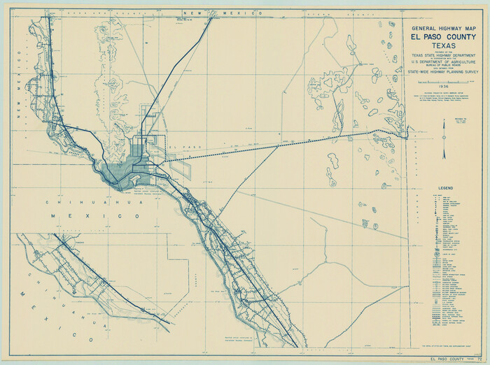

Print $20.00
General Highway Map, El Paso County, Texas
1940
Size 18.4 x 24.7 inches
Map/Doc 79084
Topographic Map of Texas and Oklahoma Boundary, Fort Augur Area
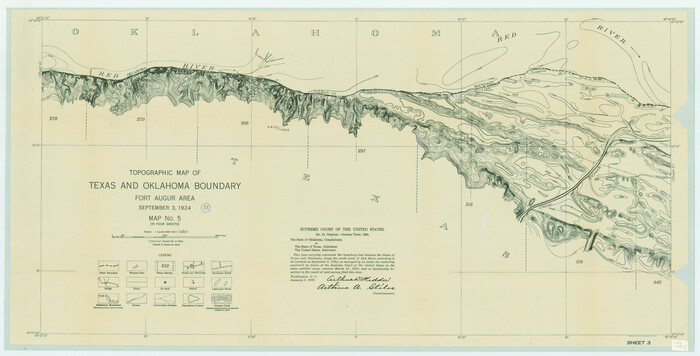

Print $20.00
Topographic Map of Texas and Oklahoma Boundary, Fort Augur Area
1924
Size 17.2 x 33.7 inches
Map/Doc 79754
General Highway Map. Detail of Cities and Towns in Dallas County, Texas [Dallas and vicinity]
![79432, General Highway Map. Detail of Cities and Towns in Dallas County, Texas [Dallas and vicinity], Texas State Library and Archives](https://historictexasmaps.com/wmedia_w700/maps/79432.tif.jpg)
![79432, General Highway Map. Detail of Cities and Towns in Dallas County, Texas [Dallas and vicinity], Texas State Library and Archives](https://historictexasmaps.com/wmedia_w700/maps/79432.tif.jpg)
Print $20.00
General Highway Map. Detail of Cities and Towns in Dallas County, Texas [Dallas and vicinity]
1961
Size 18.1 x 24.7 inches
Map/Doc 79432
General Highway Map, Zapata County, Texas


Print $20.00
General Highway Map, Zapata County, Texas
1961
Size 18.2 x 24.8 inches
Map/Doc 79721
Plan of Mier. The Texian Camp and Attack on the City


Print $20.00
Plan of Mier. The Texian Camp and Attack on the City
1842
Size 8.7 x 11.4 inches
Map/Doc 76305
You may also like
Subdivision of Sutton County School League 175. Bailey County, Texas


Print $2.00
- Digital $50.00
Subdivision of Sutton County School League 175. Bailey County, Texas
1929
Size 9.1 x 11.5 inches
Map/Doc 90278
[Surveys near Crabapple Creek in the Bexar District]
![87, [Surveys near Crabapple Creek in the Bexar District], General Map Collection](https://historictexasmaps.com/wmedia_w700/maps/87.tif.jpg)
![87, [Surveys near Crabapple Creek in the Bexar District], General Map Collection](https://historictexasmaps.com/wmedia_w700/maps/87.tif.jpg)
Print $2.00
- Digital $50.00
[Surveys near Crabapple Creek in the Bexar District]
1846
Size 9.1 x 7.0 inches
Map/Doc 87
Henderson County Working Sketch 37
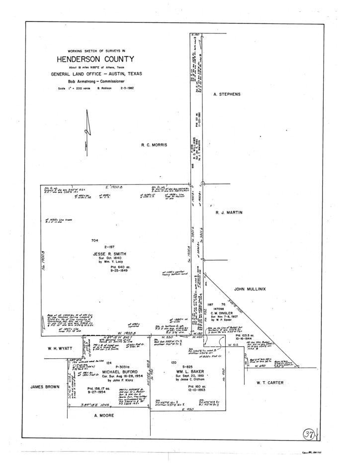

Print $20.00
- Digital $50.00
Henderson County Working Sketch 37
1982
Size 29.4 x 22.0 inches
Map/Doc 66170
Hays County Working Sketch 3
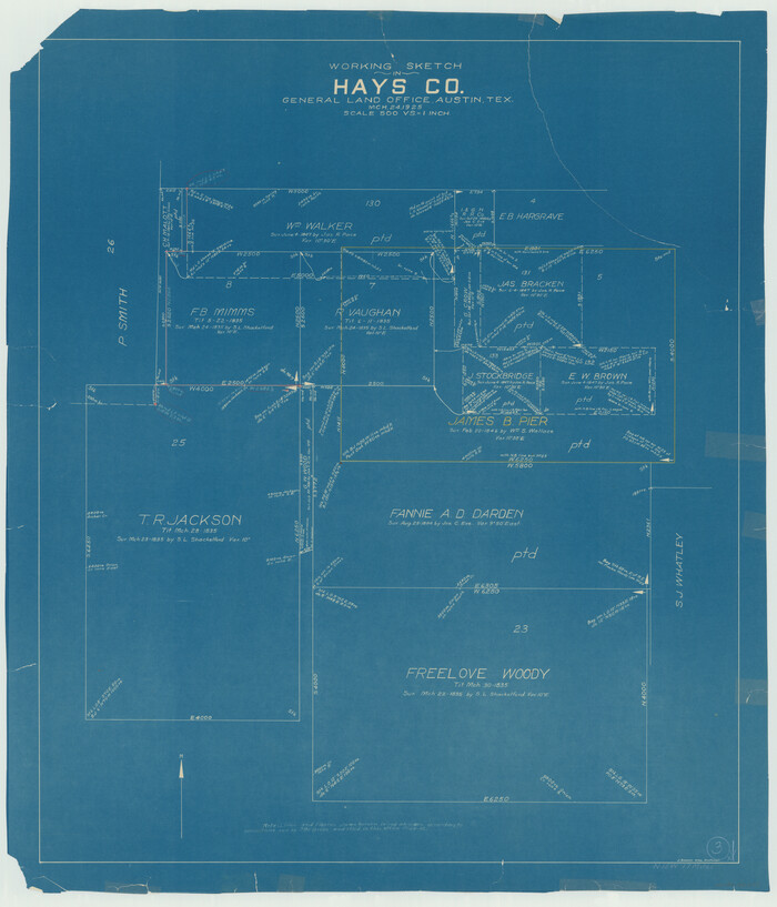

Print $20.00
- Digital $50.00
Hays County Working Sketch 3
1925
Size 28.2 x 24.1 inches
Map/Doc 66077
Marion County Working Sketch 27
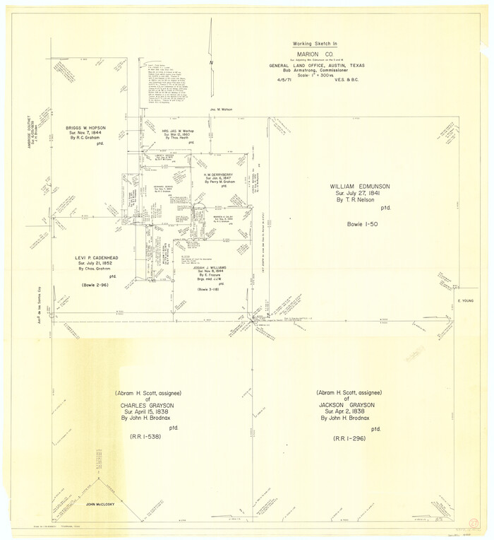

Print $20.00
- Digital $50.00
Marion County Working Sketch 27
1971
Size 44.8 x 41.0 inches
Map/Doc 70803
Uvalde County Working Sketch 55
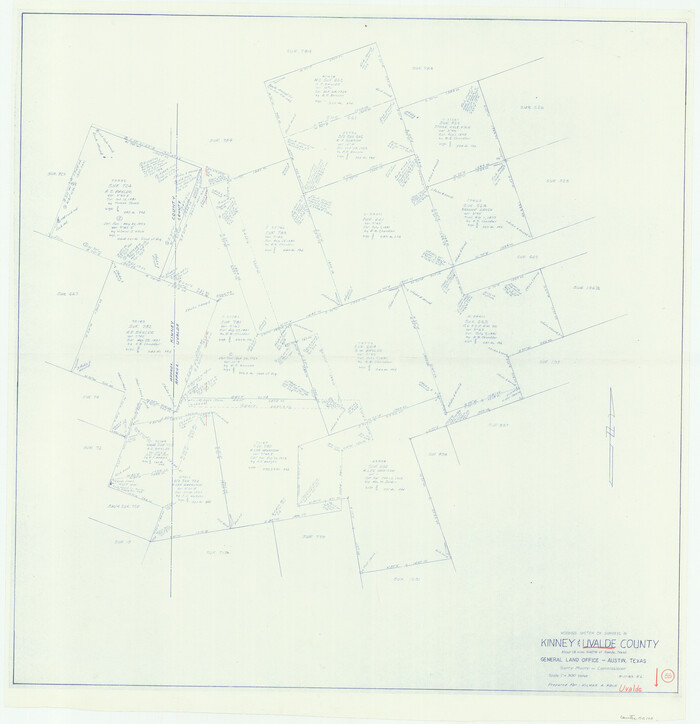

Print $20.00
- Digital $50.00
Uvalde County Working Sketch 55
1983
Size 38.9 x 37.6 inches
Map/Doc 72125
Collingsworth County Sketch File 2
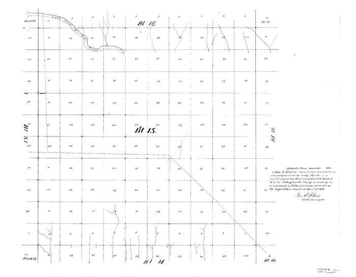

Print $20.00
- Digital $50.00
Collingsworth County Sketch File 2
1888
Size 24.3 x 31.3 inches
Map/Doc 11129
El Paso County Sketch File 35 (1)


Print $8.00
- Digital $50.00
El Paso County Sketch File 35 (1)
Size 13.0 x 8.3 inches
Map/Doc 22166
Official Map of the City of Dallas and Suburbs


Print $20.00
- Digital $50.00
Official Map of the City of Dallas and Suburbs
1891
Size 37.8 x 30.1 inches
Map/Doc 3211
La Salle County Rolled Sketch 9


Print $20.00
- Digital $50.00
La Salle County Rolled Sketch 9
1944
Size 32.7 x 27.7 inches
Map/Doc 6572
Kenedy County Rolled Sketch 3


Print $40.00
- Digital $50.00
Kenedy County Rolled Sketch 3
1904
Size 40.1 x 57.4 inches
Map/Doc 9329
Lampasas County Boundary File 4a


Print $12.00
- Digital $50.00
Lampasas County Boundary File 4a
Size 12.8 x 8.2 inches
Map/Doc 56122
![79067, General Highway Map. Detail of Cities and Towns in Dallas County, Texas [Dallas and vicinity], Texas State Library and Archives](https://historictexasmaps.com/wmedia_w1800h1800/maps/79067.tif.jpg)