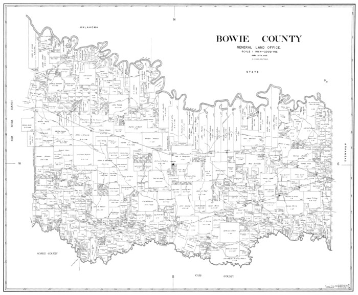
Houston Co[unty]
-
Map/Doc
78409
-
Collection
General Map Collection
-
Object Dates
1896/5/5 (Creation Date)
-
People and Organizations
Texas General Land Office (Publisher)
-
Counties
Houston
-
Subjects
County
-
Height x Width
47.4 x 47.7 inches
120.4 x 121.2 cm
-
Comments
Traced August 24, 1915 by H. M. Bramlette.
Help Save Texas History - Adopt Me! -
Features
Cochino Bayou
Conners Creek
Negro Creek
Randolph
Robbins Ferry
Lost Creek
White Rock Creek
Caney Bayou
Gossetts Creek
Pine Creek
San Pedro Creek
Trinity River
Hurricane Bayou
Crockett
H&GN
Little Elkhart Creek
Neches River
Rose Bayou
Walnut Creek
Elkhart Creek
Part of: General Map Collection
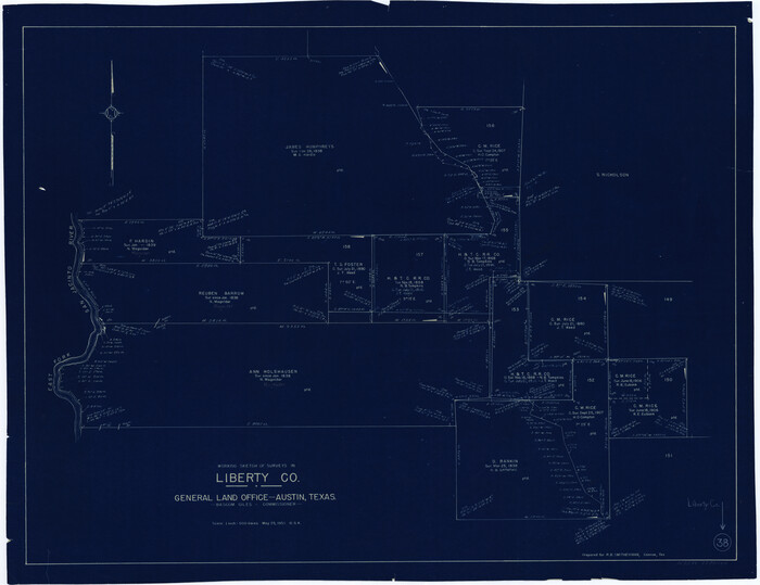
Liberty County Working Sketch 38

Print $20.00
- Digital $50.00
Liberty County Working Sketch 38
1951
Size 28.0 x 36.4 inches
Map/Doc 70497
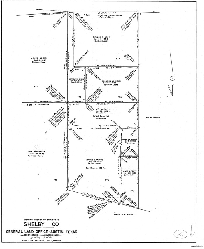
Shelby County Working Sketch 20

Print $20.00
- Digital $50.00
Shelby County Working Sketch 20
1970
Size 28.0 x 22.8 inches
Map/Doc 63873
Map of North America to illustrate Olney's school geography


Print $20.00
- Digital $50.00
Map of North America to illustrate Olney's school geography
1844
Size 12.1 x 9.3 inches
Map/Doc 93536
Harris County Working Sketch 102


Print $20.00
- Digital $50.00
Harris County Working Sketch 102
1980
Size 33.6 x 18.9 inches
Map/Doc 65994
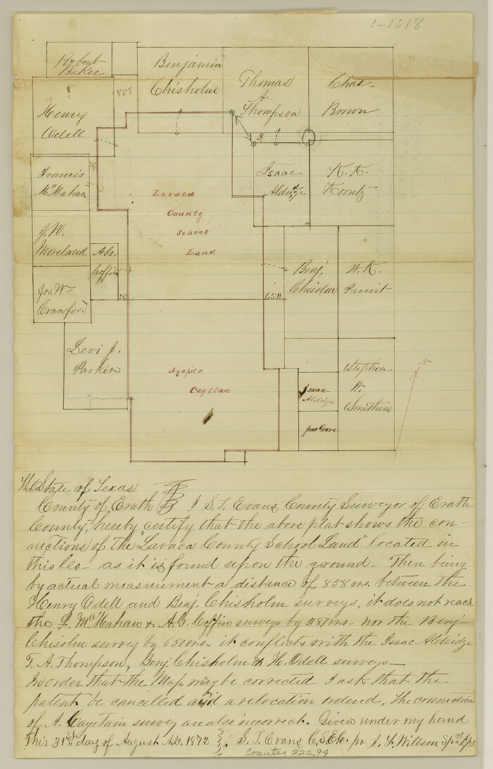
Erath County Sketch File 16

Print $4.00
- Digital $50.00
Erath County Sketch File 16
1872
Size 12.9 x 8.3 inches
Map/Doc 22294
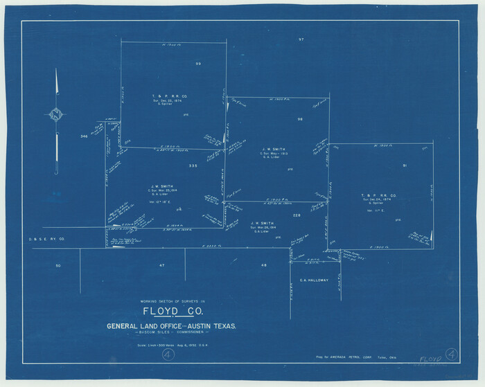
Floyd County Working Sketch 4

Print $20.00
- Digital $50.00
Floyd County Working Sketch 4
1952
Size 23.2 x 29.0 inches
Map/Doc 69183
Nueces County Sketch File 46


Print $44.00
- Digital $50.00
Nueces County Sketch File 46
1907
Size 11.1 x 8.7 inches
Map/Doc 32643
Camp County Working Sketch Graphic Index


Print $20.00
- Digital $50.00
Camp County Working Sketch Graphic Index
1942
Size 25.1 x 29.7 inches
Map/Doc 76487
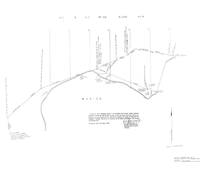
Brewster County Rolled Sketch 106

Print $20.00
- Digital $50.00
Brewster County Rolled Sketch 106
1958
Size 20.7 x 24.6 inches
Map/Doc 5258
Coleman County


Print $40.00
- Digital $50.00
Coleman County
1945
Size 54.7 x 37.1 inches
Map/Doc 73109
You may also like
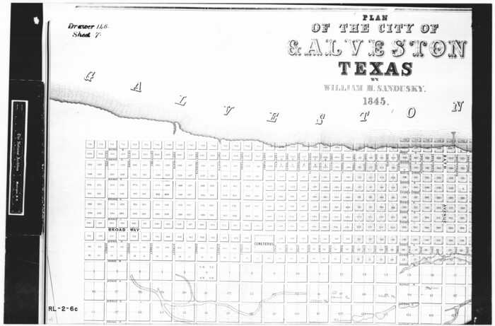
Plan of the City of Galveston, Texas

Print $20.00
- Digital $50.00
Plan of the City of Galveston, Texas
1845
Size 18.2 x 27.7 inches
Map/Doc 62967
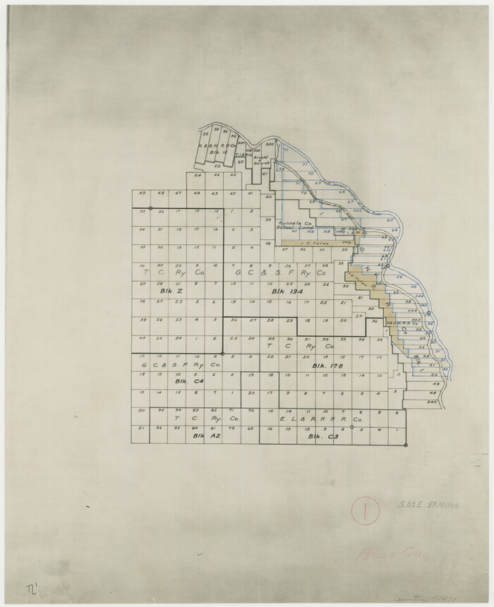
Pecos County Working Sketch 1

Print $20.00
- Digital $50.00
Pecos County Working Sketch 1
Size 16.0 x 13.0 inches
Map/Doc 71471
Dimmit County


Print $40.00
- Digital $50.00
Dimmit County
1976
Size 43.2 x 50.7 inches
Map/Doc 73133
Real County Working Sketch 6
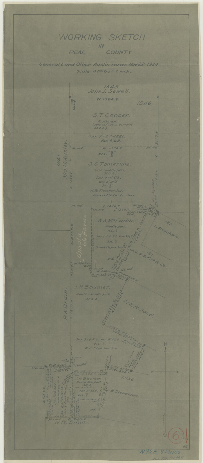

Print $20.00
- Digital $50.00
Real County Working Sketch 6
1924
Size 21.2 x 9.3 inches
Map/Doc 71898
Haskell County Sketch File 6
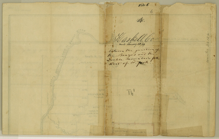

Print $22.00
- Digital $50.00
Haskell County Sketch File 6
1858
Size 7.7 x 12.2 inches
Map/Doc 26126
Edwards County Working Sketch 77
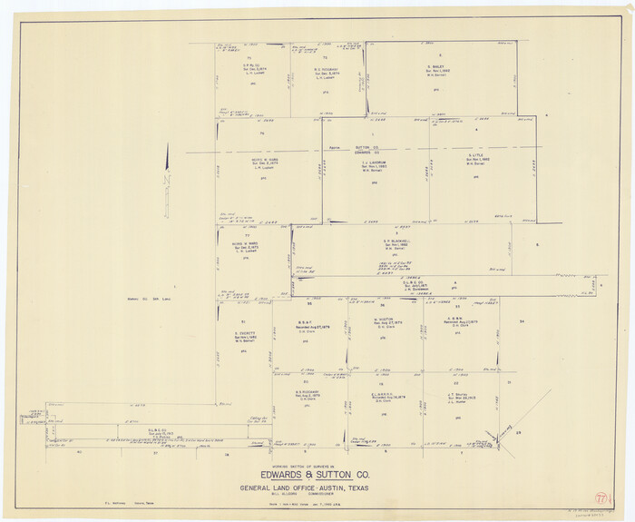

Print $20.00
- Digital $50.00
Edwards County Working Sketch 77
1960
Size 32.8 x 39.9 inches
Map/Doc 68953
Right of Way and Track Map, The Missouri, Kansas and Texas Ry. of Texas operated by the Missouri, Kansas and Texas Ry. of Texas, Henrietta Division
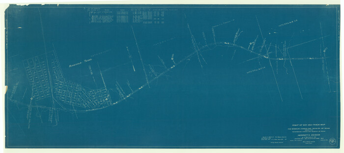

Print $40.00
- Digital $50.00
Right of Way and Track Map, The Missouri, Kansas and Texas Ry. of Texas operated by the Missouri, Kansas and Texas Ry. of Texas, Henrietta Division
1918
Size 25.4 x 57.2 inches
Map/Doc 64073
La Salle County Sketch File 46
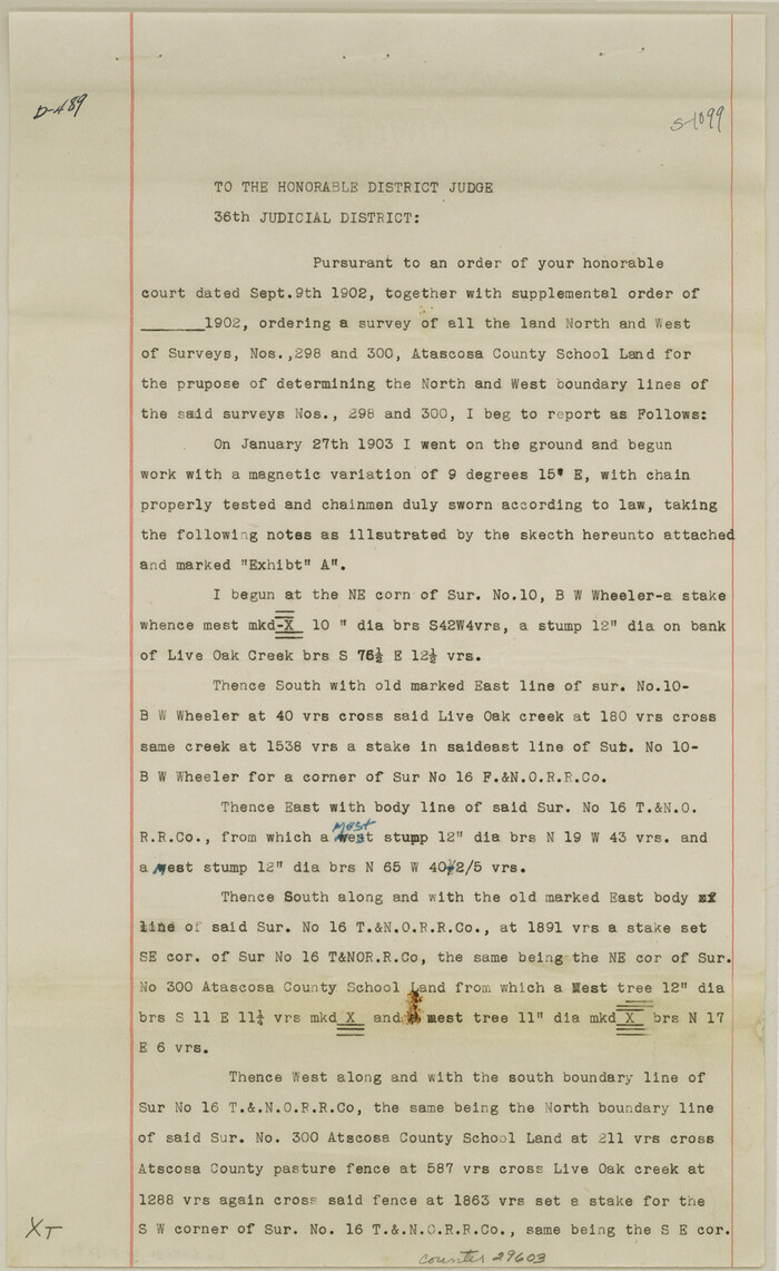

Print $20.00
- Digital $50.00
La Salle County Sketch File 46
Size 14.1 x 8.6 inches
Map/Doc 29603
Pecos County Working Sketch 69
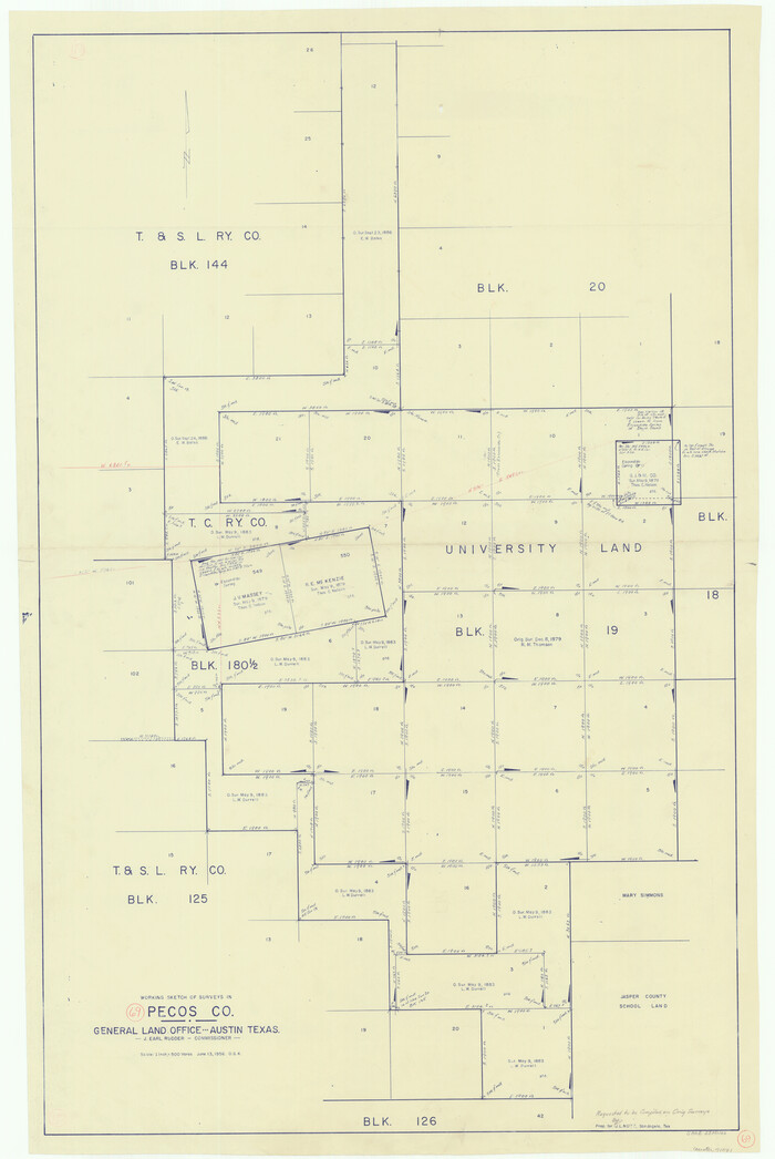

Print $40.00
- Digital $50.00
Pecos County Working Sketch 69
1956
Size 48.7 x 32.6 inches
Map/Doc 71541
[Vicinity of Wilson Strickland Survey]
![91379, [Vicinity of Wilson Strickland Survey], Twichell Survey Records](https://historictexasmaps.com/wmedia_w700/maps/91379-1.tif.jpg)
![91379, [Vicinity of Wilson Strickland Survey], Twichell Survey Records](https://historictexasmaps.com/wmedia_w700/maps/91379-1.tif.jpg)
Print $20.00
- Digital $50.00
[Vicinity of Wilson Strickland Survey]
Size 35.9 x 33.3 inches
Map/Doc 91379
Webb County Boundary File 7
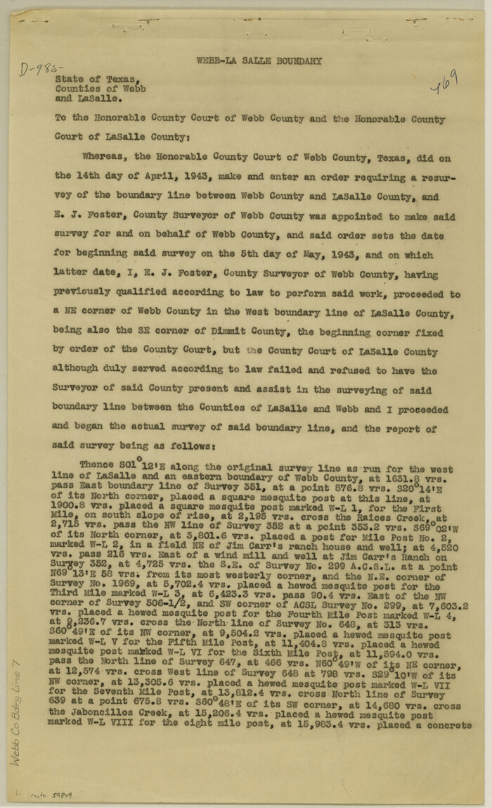

Print $98.00
- Digital $50.00
Webb County Boundary File 7
Size 14.2 x 8.7 inches
Map/Doc 59809
Caldwell County
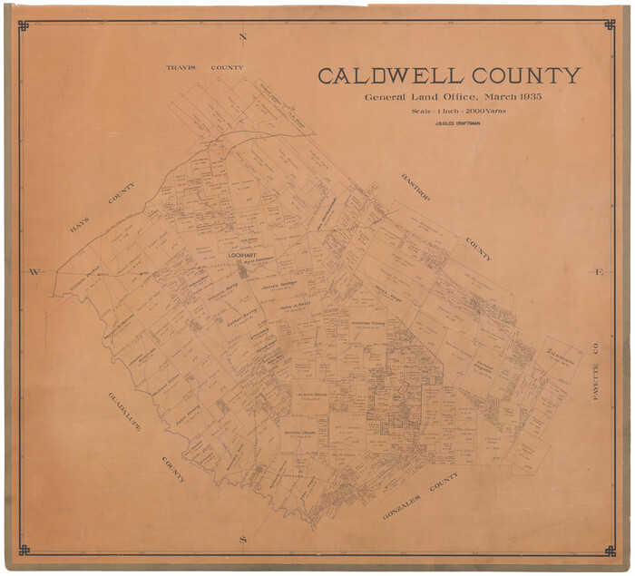

Print $20.00
- Digital $50.00
Caldwell County
1935
Size 37.8 x 42.0 inches
Map/Doc 73095
![78409, Houston Co[unty], General Map Collection](https://historictexasmaps.com/wmedia_w1800h1800/maps/78409.tif.jpg)

