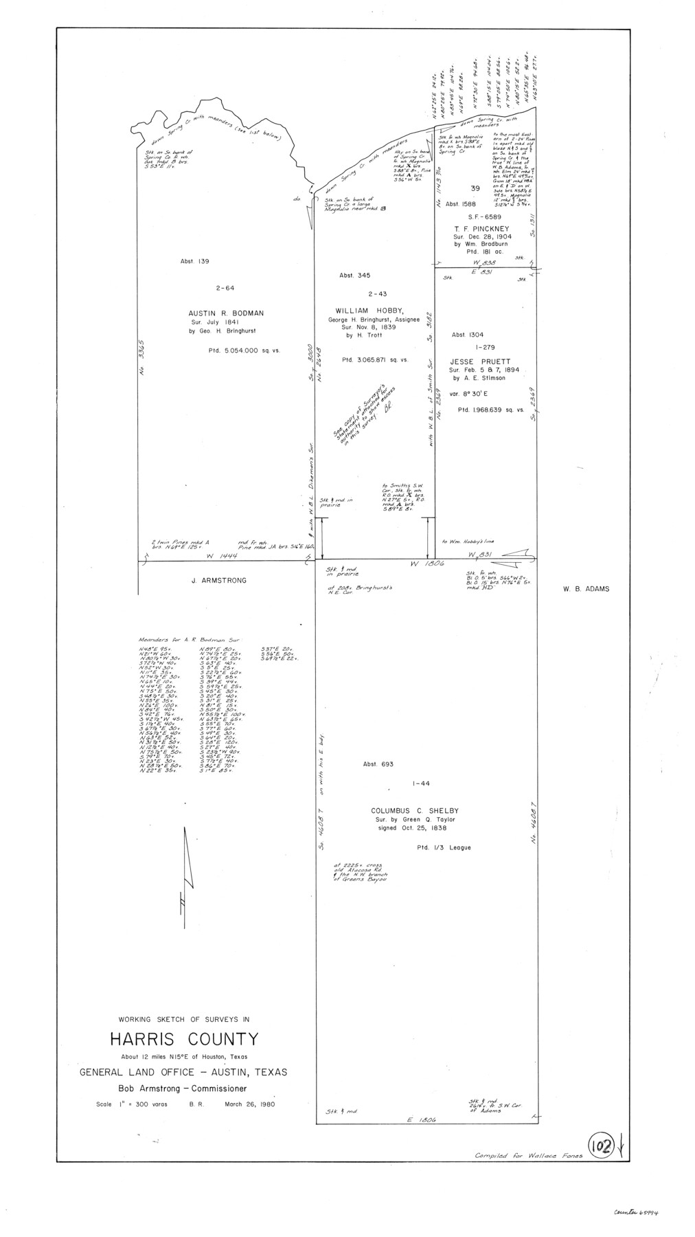
Harris County Working Sketch 102
-
Map/Doc
65994
-
Collection
General Map Collection
-
Object Dates
3/26/1980 (Creation Date)
-
People and Organizations
Beverly Robison (Draftsman)
-
Counties
Harris
-
Subjects
Surveying Working Sketch
-
Height x Width
33.6 x 18.9 inches
85.3 x 48.0 cm
-
Scale
1" = 300 varas
Part of: General Map Collection
Texas Intracoastal Waterway - Laguna Madre - Dagger Hill to Potrero Grande

Print $20.00
- Digital $50.00
Texas Intracoastal Waterway - Laguna Madre - Dagger Hill to Potrero Grande
1960
Size 38.7 x 27.2 inches
Map/Doc 73510
State of Texas

Print $40.00
- Digital $50.00
State of Texas
1948
Size 44.6 x 56.8 inches
Map/Doc 78634
Hudspeth County Working Sketch 30

Print $40.00
- Digital $50.00
Hudspeth County Working Sketch 30
Size 80.4 x 36.0 inches
Map/Doc 66313
Chambers County Rolled Sketch 12

Print $20.00
- Digital $50.00
Chambers County Rolled Sketch 12
1935
Size 36.4 x 30.9 inches
Map/Doc 8613
Brewster County Rolled Sketch 18A

Print $20.00
- Digital $50.00
Brewster County Rolled Sketch 18A
1906
Size 18.6 x 17.2 inches
Map/Doc 5196
Hamilton County Boundary File 5

Print $35.00
- Digital $50.00
Hamilton County Boundary File 5
Size 11.1 x 8.6 inches
Map/Doc 54217
Flight Mission No. CLL-1N, Frame 158, Willacy County

Print $20.00
- Digital $50.00
Flight Mission No. CLL-1N, Frame 158, Willacy County
1954
Size 18.4 x 22.1 inches
Map/Doc 87049
Foard County Sketch File 4

Print $5.00
- Digital $50.00
Foard County Sketch File 4
Size 12.4 x 9.5 inches
Map/Doc 22806
Comanche County

Print $20.00
- Digital $50.00
Comanche County
1896
Size 39.4 x 44.2 inches
Map/Doc 4734
Limestone County Sketch File 10a

Print $22.00
- Digital $50.00
Limestone County Sketch File 10a
Size 12.5 x 15.8 inches
Map/Doc 30173
La Salle County Working Sketch 14

Print $20.00
- Digital $50.00
La Salle County Working Sketch 14
1941
Size 37.8 x 36.7 inches
Map/Doc 70315
Map of Cherokee County

Print $20.00
- Digital $50.00
Map of Cherokee County
1863
Size 25.5 x 17.7 inches
Map/Doc 3387
You may also like
Crockett County Rolled Sketch 53

Print $20.00
- Digital $50.00
Crockett County Rolled Sketch 53
1942
Size 17.5 x 36.8 inches
Map/Doc 5598
Edwards County Working Sketch 35

Print $20.00
- Digital $50.00
Edwards County Working Sketch 35
1948
Size 20.9 x 31.1 inches
Map/Doc 68911
Collin County

Print $20.00
- Digital $50.00
Collin County
1975
Size 43.2 x 40.1 inches
Map/Doc 73110
Webb County Sketch File 18

Print $20.00
- Digital $50.00
Webb County Sketch File 18
1886
Size 19.9 x 17.7 inches
Map/Doc 12637
Flight Mission No. CGI-3N, Frame 173, Cameron County

Print $20.00
- Digital $50.00
Flight Mission No. CGI-3N, Frame 173, Cameron County
1954
Size 18.5 x 22.3 inches
Map/Doc 84637
Portions of Galveston and East Bays and the Gulf of Mexico in Galveston County, showing Subdivision for Mineral Development

Print $20.00
- Digital $50.00
Portions of Galveston and East Bays and the Gulf of Mexico in Galveston County, showing Subdivision for Mineral Development
1978
Size 38.1 x 25.8 inches
Map/Doc 1904
Jackson County Rolled Sketch 3A

Print $20.00
- Digital $50.00
Jackson County Rolled Sketch 3A
1913
Size 23.2 x 22.6 inches
Map/Doc 6337
Harris County Rolled Sketch 101

Print $20.00
- Digital $50.00
Harris County Rolled Sketch 101
2004
Size 24.3 x 36.2 inches
Map/Doc 83063
Uvalde County Sketch File 16a

Print $6.00
- Digital $50.00
Uvalde County Sketch File 16a
Size 11.0 x 13.4 inches
Map/Doc 38995
El Nuevo Mexico y Tierras Adyacentes Mapa Levantado para la demarcacion de los Limites de los Dominios Españoles y de los Estados Unidos por el P.D. Jose Pichardo quien lo dedica al Exmo. Sor. D. Fracisco Xavier Venegas Virrey de esta N.E. &. Año de 1811

Print $40.00
El Nuevo Mexico y Tierras Adyacentes Mapa Levantado para la demarcacion de los Limites de los Dominios Españoles y de los Estados Unidos por el P.D. Jose Pichardo quien lo dedica al Exmo. Sor. D. Fracisco Xavier Venegas Virrey de esta N.E. &. Año de 1811
1811
Size 35.8 x 49.6 inches
Map/Doc 95360
[Texas Gulf Coast]
![72677, [Texas Gulf Coast], General Map Collection](https://historictexasmaps.com/wmedia_w700/maps/72677.tif.jpg)
Print $20.00
- Digital $50.00
[Texas Gulf Coast]
Size 27.3 x 18.2 inches
Map/Doc 72677
Map of Rains County

Print $20.00
- Digital $50.00
Map of Rains County
1873
Size 12.0 x 12.4 inches
Map/Doc 4619