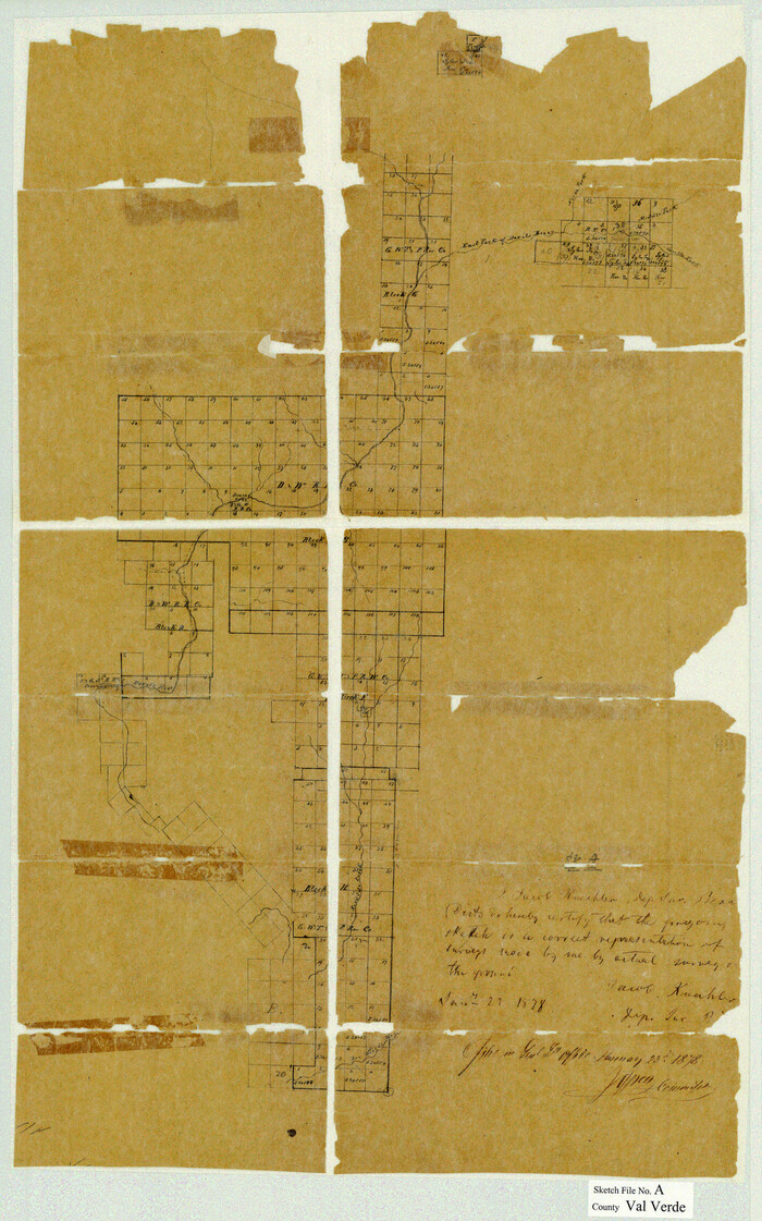
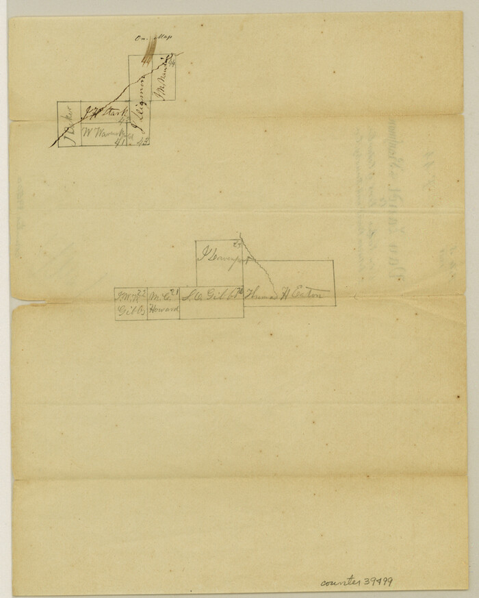
[Surveys in Robertson's Colony]
Atlas E, Sketch 1 (E-1)
E-1
- 
                          Map/Doc
78358
 - 
                            Collection
General Map Collection
 - 
                            Counties
Falls McLennan
 - 
                            Subjects
Atlas
 - 
                            Height x Width
18.6 x 26.5 inches
47.2 x 67.3 cm
 - 
                            Medium
paper, manuscript
 - 
                            Comments
Conserved in 2004.
 - 
                            Features
Isaacs Creek
 
Part of: General Map Collection
            Map of Liberty County Texas


                                            Print $20.00                    
                                             -                         Digital $50.00                                    
                Map of Liberty County Texas
1895
Size 25.1 x 26.6 inches
                                Map/Doc 3812
            
            Map of certain tidal areas in Harris and Galveston Counties showing subdivision thereof for mineral development


                                            Print $20.00                    
                                             -                         Digital $50.00                                    
                Map of certain tidal areas in Harris and Galveston Counties showing subdivision thereof for mineral development
1938
Size 34.3 x 26.7 inches
                                Map/Doc 2936
            
            [Right of Way & Track Map, The Texas & Pacific Ry. Co. Main Line]


                                            Print $20.00                    
                                             -                         Digital $50.00                                    
                [Right of Way & Track Map, The Texas & Pacific Ry. Co. Main Line]
Size 11.0 x 19.0 inches
                                Map/Doc 64663
            
            Map of Brazoria County


                                            Print $40.00                    
                                             -                         Digital $50.00                                    
                Map of Brazoria County
1891
Size 56.9 x 58.4 inches
                                Map/Doc 16945
            
            Webb County Working Sketch 95


                                            Print $20.00                    
                                             -                         Digital $50.00                                    
                Webb County Working Sketch 95
1991
Size 16.6 x 42.2 inches
                                Map/Doc 72462
            
            Hudspeth County Sketch File 16


                                            Print $10.00                    
                                             -                         Digital $50.00                                    
                Hudspeth County Sketch File 16
1925
Size 14.3 x 8.8 inches
                                Map/Doc 26948
            
            Flight Mission No. CGI-2N, Frame 183, Cameron County


                                            Print $20.00                    
                                             -                         Digital $50.00                                    
                Flight Mission No. CGI-2N, Frame 183, Cameron County
1954
Size 18.7 x 22.2 inches
                                Map/Doc 84543
            
            Map of Dallas County


                                            Print $20.00                    
                                             -                         Digital $50.00                                    
                Map of Dallas County
1861
Size 23.5 x 20.0 inches
                                Map/Doc 3467
            
            Presidio County Rolled Sketch 131A


                                            Print $20.00                    
                                             -                         Digital $50.00                                    
                Presidio County Rolled Sketch 131A
Size 17.5 x 14.1 inches
                                Map/Doc 10707
            
            Duval County Rolled Sketch HD


                                            Print $20.00                    
                                             -                         Digital $50.00                                    
                Duval County Rolled Sketch HD
1939
Size 22.8 x 32.8 inches
                                Map/Doc 5767
            
            Potter County


                                            Print $20.00                    
                                             -                         Digital $50.00                                    
                Potter County
1960
Size 43.5 x 35.6 inches
                                Map/Doc 95615
            
            PSL Field Notes for Block JKL in Hudspeth County


            PSL Field Notes for Block JKL in Hudspeth County
Map/Doc 81658
            You may also like
            Brazoria County Working Sketch 23


                                            Print $20.00                    
                                             -                         Digital $50.00                                    
                Brazoria County Working Sketch 23
1961
Size 37.9 x 32.4 inches
                                Map/Doc 67508
            
            Old Miscellaneous File 6


                                            Print $4.00                    
                                             -                         Digital $50.00                                    
                Old Miscellaneous File 6
1847
Size 4.2 x 7.6 inches
                                Map/Doc 75420
            
            General Highway Map, Rains County, Texas


                                            Print $20.00                    
                                    
                General Highway Map, Rains County, Texas
1961
Size 18.1 x 24.4 inches
                                Map/Doc 79634
            
            Yoakum County Sketch File 10b


                                            Print $20.00                    
                                             -                         Digital $50.00                                    
                Yoakum County Sketch File 10b
Size 22.4 x 15.8 inches
                                Map/Doc 12707
            
            Presidio County Sketch File 62


                                            Print $10.00                    
                                             -                         Digital $50.00                                    
                Presidio County Sketch File 62
1938
Size 11.2 x 8.8 inches
                                Map/Doc 34647
            
            Harrison County Rolled Sketch 7


                                            Print $20.00                    
                                             -                         Digital $50.00                                    
                Harrison County Rolled Sketch 7
1953
Size 36.0 x 37.1 inches
                                Map/Doc 9144
            
            Map of Kimble County, Texas


                                            Print $20.00                    
                                             -                         Digital $50.00                                    
                Map of Kimble County, Texas
1879
Size 18.1 x 28.3 inches
                                Map/Doc 527
            
            Upton County Rolled Sketch 24


                                            Print $20.00                    
                                             -                         Digital $50.00                                    
                Upton County Rolled Sketch 24
1886
Size 17.3 x 43.5 inches
                                Map/Doc 10043
            
            Coast Chart No. 212 - From Latitude 26° 33' to the Rio Grande, Texas


                                            Print $20.00                    
                                             -                         Digital $50.00                                    
                Coast Chart No. 212 - From Latitude 26° 33' to the Rio Grande, Texas
1886
Size 37.8 x 34.1 inches
                                Map/Doc 73503
            
            Hemphill County Boundary File 3


                                            Print $36.00                    
                                             -                         Digital $50.00                                    
                Hemphill County Boundary File 3
Size 7.7 x 32.9 inches
                                Map/Doc 54630
            
            Part of a map showing resurvey of Capitol Leagues by R. S. Hunnicutt & Behn Cook State Surveyors


                                            Print $20.00                    
                                             -                         Digital $50.00                                    
                Part of a map showing resurvey of Capitol Leagues by R. S. Hunnicutt & Behn Cook State Surveyors
Size 21.6 x 17.3 inches
                                Map/Doc 90277
            
            Angelina County Sketch File 10


                                            Print $40.00                    
                                             -                         Digital $50.00                                    
                Angelina County Sketch File 10
1859
Size 17.2 x 32.3 inches
                                Map/Doc 10814