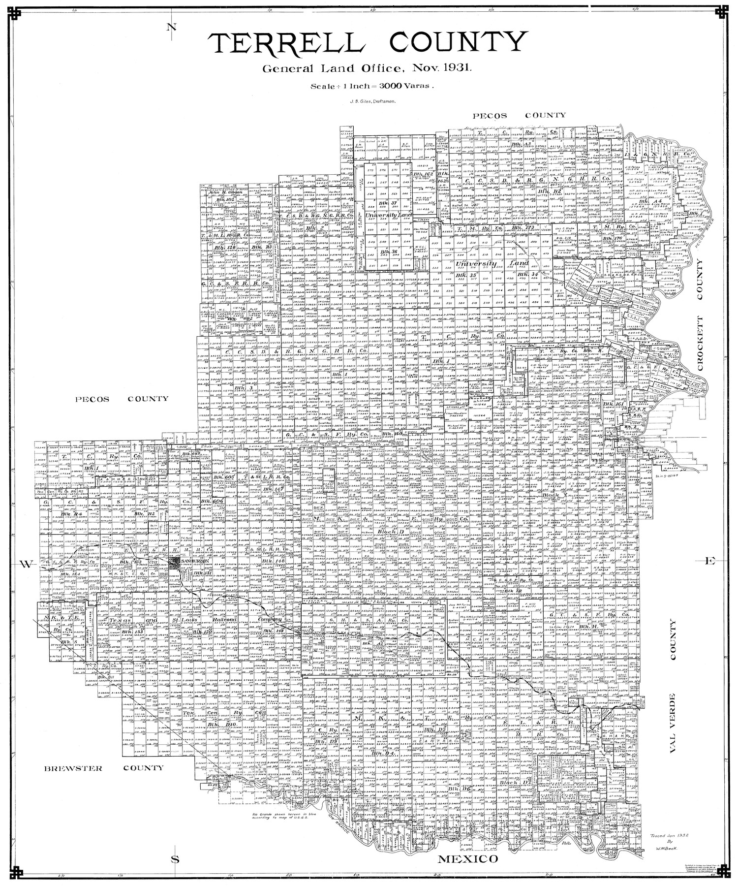
Terrell County
-
Map/Doc
77433
-
Collection
General Map Collection
-
Object Dates
11/1931 (Creation Date)
-
People and Organizations
J. Bascom Giles (Draftsman)
-
Counties
Terrell
-
Subjects
County
-
Height x Width
40.0 x 33.4 inches
101.6 x 84.8 cm
Part of: General Map Collection
Flight Mission No. CUG-1P, Frame 28, Kleberg County

Print $20.00
- Digital $50.00
Flight Mission No. CUG-1P, Frame 28, Kleberg County
1956
Size 18.6 x 22.2 inches
Map/Doc 86118
Texas Gulf Coast Map from the Sabine River to the Rio Grande as subdivided for mineral development

Print $20.00
- Digital $50.00
Texas Gulf Coast Map from the Sabine River to the Rio Grande as subdivided for mineral development
1966
Size 29.1 x 41.7 inches
Map/Doc 2496
Jim Hogg County Rolled Sketch 8

Print $20.00
- Digital $50.00
Jim Hogg County Rolled Sketch 8
1956
Size 32.1 x 38.2 inches
Map/Doc 9323
Coleman County Sketch File 22

Print $10.00
- Digital $50.00
Coleman County Sketch File 22
1871
Size 8.4 x 7.9 inches
Map/Doc 18698
Reagan County Working Sketch 19

Print $20.00
- Digital $50.00
Reagan County Working Sketch 19
1954
Size 24.3 x 42.9 inches
Map/Doc 71861
Childress County Sketch File 17

Print $8.00
- Digital $50.00
Childress County Sketch File 17
Size 13.0 x 8.2 inches
Map/Doc 18286
DeWitt County Working Sketch 1

Print $20.00
- Digital $50.00
DeWitt County Working Sketch 1
1937
Size 24.2 x 30.8 inches
Map/Doc 68591
Atascosa County Working Sketch 24

Print $20.00
- Digital $50.00
Atascosa County Working Sketch 24
1958
Size 34.0 x 43.1 inches
Map/Doc 67220
Val Verde County Rolled Sketch 10

Print $20.00
- Digital $50.00
Val Verde County Rolled Sketch 10
Size 22.9 x 27.8 inches
Map/Doc 8108
Galveston County NRC Article 33.136 Sketch 5

Print $20.00
- Digital $50.00
Galveston County NRC Article 33.136 Sketch 5
2001
Size 23.5 x 19.1 inches
Map/Doc 61587
Calhoun County Sketch File 16

Print $4.00
- Digital $50.00
Calhoun County Sketch File 16
1954
Size 10.7 x 8.3 inches
Map/Doc 35982
Menard County Working Sketch 25

Print $20.00
- Digital $50.00
Menard County Working Sketch 25
1952
Size 32.2 x 42.8 inches
Map/Doc 70972
You may also like
Bexar County Sketch File 1a

Print $24.00
- Digital $50.00
Bexar County Sketch File 1a
1847
Size 12.7 x 8.2 inches
Map/Doc 14468
Jefferson County Working Sketch 36

Print $40.00
- Digital $50.00
Jefferson County Working Sketch 36
1982
Size 69.1 x 33.2 inches
Map/Doc 66580
A New Map of Texas

Print $20.00
- Digital $50.00
A New Map of Texas
1841
Size 18.2 x 17.2 inches
Map/Doc 96636

Baylor County Sketch File 23

Print $60.00
- Digital $50.00
Baylor County Sketch File 23
1927
Size 25.2 x 48.9 inches
Map/Doc 10324
Borden County Sketch File 12

Print $24.00
- Digital $50.00
Borden County Sketch File 12
Size 10.8 x 9.1 inches
Map/Doc 14732
Webb County Sketch File 9

Print $25.00
- Digital $50.00
Webb County Sketch File 9
1870
Size 9.5 x 8.5 inches
Map/Doc 39761
The Republic County of Bowie. January 8, 1844

Print $20.00
The Republic County of Bowie. January 8, 1844
2020
Size 19.5 x 21.7 inches
Map/Doc 96107
Taylor County Sketch File 16

Print $20.00
- Digital $50.00
Taylor County Sketch File 16
1883
Size 34.3 x 9.0 inches
Map/Doc 12409
Hunt County Rolled Sketch 5

Print $20.00
- Digital $50.00
Hunt County Rolled Sketch 5
1956
Size 27.6 x 24.8 inches
Map/Doc 6270

Crane County Working Sketch 31

Print $20.00
- Digital $50.00
Crane County Working Sketch 31
1982
Size 34.3 x 37.7 inches
Map/Doc 68308