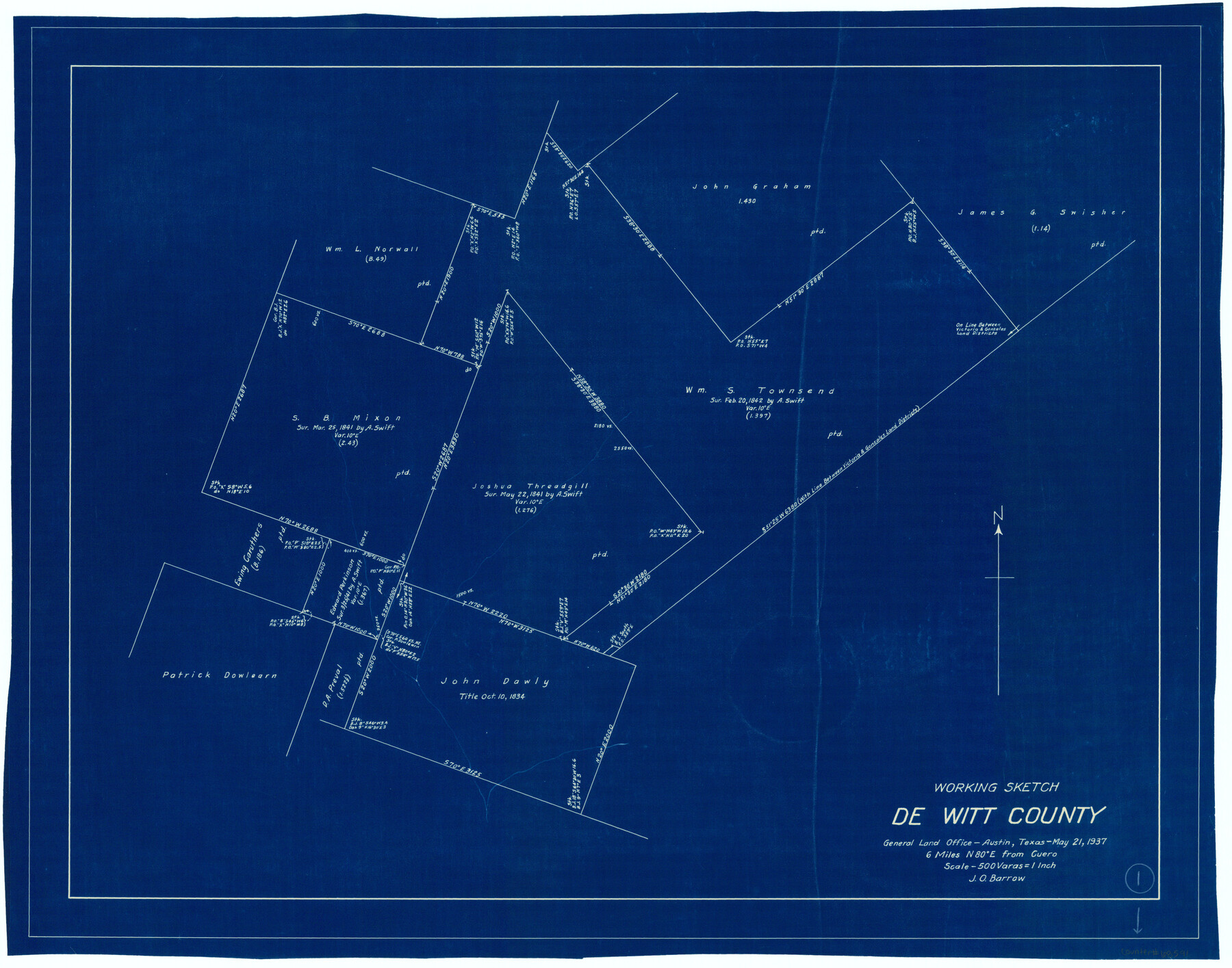
DeWitt County Working Sketch 1
-
Map/Doc
68591
-
Collection
General Map Collection
-
Object Dates
5/21/1937 (Creation Date)
-
People and Organizations
J.O. Barrow (Draftsman)
-
Counties
DeWitt
-
Subjects
Surveying Working Sketch
-
Height x Width
24.2 x 30.8 inches
61.5 x 78.2 cm
-
Scale
1" = 500 varas
Part of: General Map Collection
Falls County Sketch File 16

Print $8.00
- Digital $50.00
Falls County Sketch File 16
Size 13.3 x 8.5 inches
Map/Doc 22374
Culberson County Sketch File 7

Print $8.00
- Digital $50.00
Culberson County Sketch File 7
1888
Size 14.5 x 8.8 inches
Map/Doc 20138
Jackson County Working Sketch 8

Print $20.00
- Digital $50.00
Jackson County Working Sketch 8
1980
Size 30.4 x 29.0 inches
Map/Doc 66456
Ochiltree County Working Sketch 8

Print $20.00
- Digital $50.00
Ochiltree County Working Sketch 8
1982
Size 23.4 x 20.8 inches
Map/Doc 71321
Mills County Boundary File 10

Print $46.00
- Digital $50.00
Mills County Boundary File 10
Size 17.0 x 11.6 inches
Map/Doc 57329
Colorado County Sketch File 27

Print $20.00
- Digital $50.00
Colorado County Sketch File 27
1911
Size 25.3 x 19.4 inches
Map/Doc 11138
Rains County Working Sketch 3

Print $20.00
- Digital $50.00
Rains County Working Sketch 3
1918
Size 22.3 x 12.5 inches
Map/Doc 71829
Fractional Township No. 7 South Range No. 1 West of the Indian Meridian, Indian Territory

Print $20.00
- Digital $50.00
Fractional Township No. 7 South Range No. 1 West of the Indian Meridian, Indian Territory
1898
Size 19.2 x 24.4 inches
Map/Doc 75197
Live Oak County Working Sketch 34

Print $20.00
- Digital $50.00
Live Oak County Working Sketch 34
Size 31.0 x 42.6 inches
Map/Doc 78469
Kinney County Sketch File 12

Print $24.00
- Digital $50.00
Kinney County Sketch File 12
1885
Size 20.7 x 38.6 inches
Map/Doc 10618
The Texas and Pacific Ry. Co., Station Map, Iatan, Mitchell County, Texas

Print $20.00
- Digital $50.00
The Texas and Pacific Ry. Co., Station Map, Iatan, Mitchell County, Texas
1929
Size 11.0 x 18.4 inches
Map/Doc 64667
Webb County Working Sketch 28

Print $20.00
- Digital $50.00
Webb County Working Sketch 28
1933
Size 32.8 x 22.4 inches
Map/Doc 72393
You may also like
San Patricio County Rolled Sketch 47A

Print $20.00
- Digital $50.00
San Patricio County Rolled Sketch 47A
1939
Size 27.7 x 28.5 inches
Map/Doc 7732
Uvalde County Working Sketch 11

Print $20.00
- Digital $50.00
Uvalde County Working Sketch 11
1943
Size 17.6 x 16.6 inches
Map/Doc 72081
Gonzales County Working Sketch 2

Print $20.00
- Digital $50.00
Gonzales County Working Sketch 2
1920
Size 17.6 x 21.5 inches
Map/Doc 63217
Flight Mission No. BRA-8M, Frame 131, Jefferson County

Print $20.00
- Digital $50.00
Flight Mission No. BRA-8M, Frame 131, Jefferson County
1953
Size 15.9 x 16.0 inches
Map/Doc 85627
Live Oak County Boundary File 1

Print $24.00
- Digital $50.00
Live Oak County Boundary File 1
Size 9.0 x 4.2 inches
Map/Doc 56387
Uvalde County Rolled Sketch 8

Print $20.00
- Digital $50.00
Uvalde County Rolled Sketch 8
Size 21.3 x 37.5 inches
Map/Doc 8093
Kinney County Sketch File 25

Print $20.00
- Digital $50.00
Kinney County Sketch File 25
1927
Size 19.1 x 18.9 inches
Map/Doc 11944

Flight Mission No. CUG-1P, Frame 51, Kleberg County

Print $20.00
- Digital $50.00
Flight Mission No. CUG-1P, Frame 51, Kleberg County
1956
Size 18.7 x 22.3 inches
Map/Doc 86129
Presidio County Sketch File 99

Print $8.00
- Digital $50.00
Presidio County Sketch File 99
1955
Size 11.2 x 8.8 inches
Map/Doc 34787
Hidalgo County Working Sketch Graphic Index

Print $20.00
- Digital $50.00
Hidalgo County Working Sketch Graphic Index
1977
Size 45.7 x 34.7 inches
Map/Doc 76577
Hardin County Working Sketch 40

Print $20.00
- Digital $50.00
Hardin County Working Sketch 40
1988
Size 23.0 x 14.4 inches
Map/Doc 63439