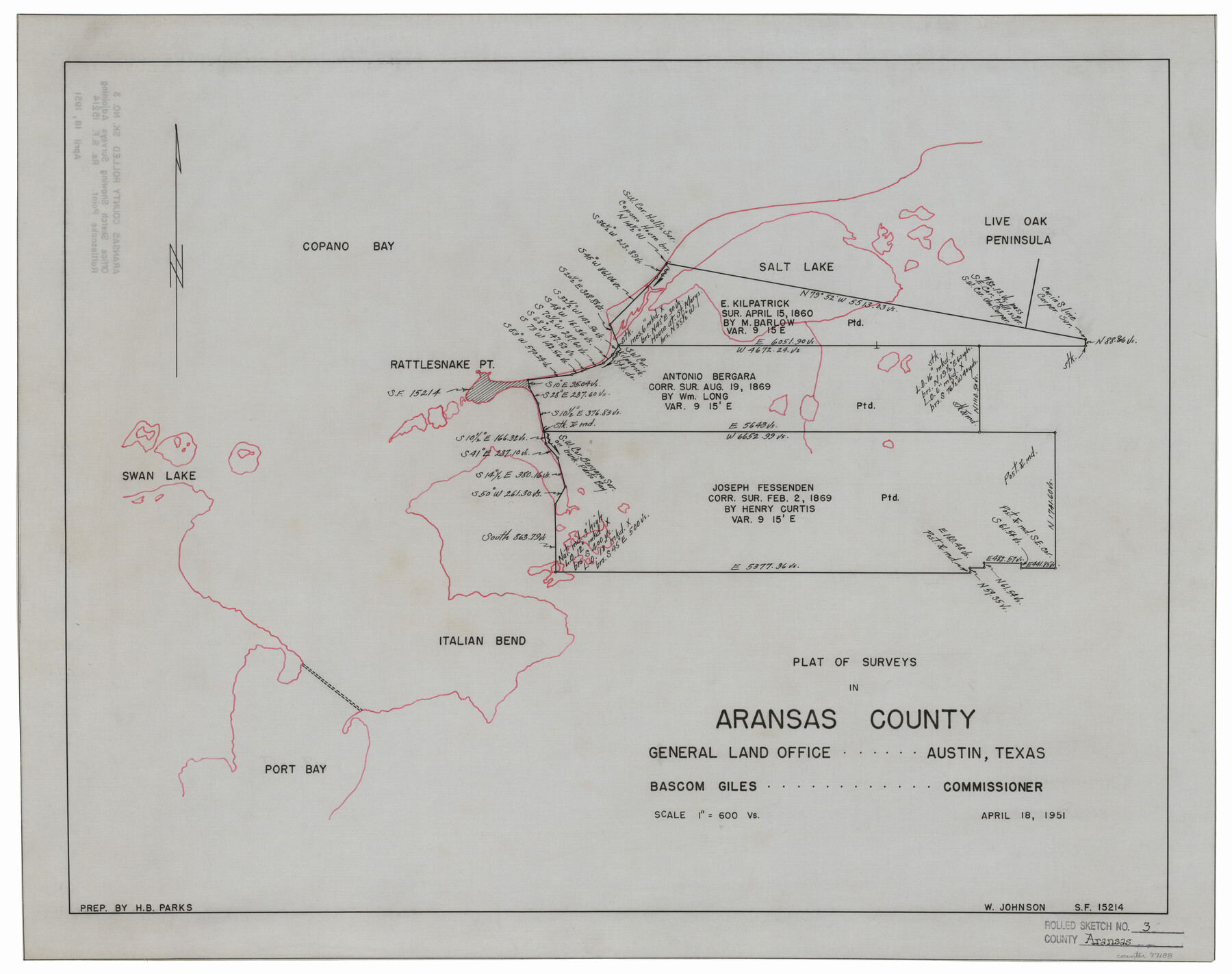
Aransas County Rolled Sketch 3
[Office sketch showing surveys adjoining Rattlesnake Point re: SF 15214]
-
Map/Doc
77188
-
Collection
General Map Collection
-
Object Dates
1951/4/18 (File Date)
-
People and Organizations
Bascom Giles (GLO Commissioner)
H.B. Parks (Draftsman)
-
Counties
Aransas
-
Subjects
Surveying Rolled Sketch
-
Height x Width
20.9 x 26.5 inches
53.1 x 67.3 cm
-
Medium
linen, manuscript
-
Scale
1" = 600 varas
Part of: General Map Collection
Anderson County Working Sketch 21

Print $20.00
- Digital $50.00
Anderson County Working Sketch 21
1954
Size 24.9 x 33.9 inches
Map/Doc 67021
Colorado River, LaGrange Sheet

Print $20.00
- Digital $50.00
Colorado River, LaGrange Sheet
1934
Size 37.8 x 32.9 inches
Map/Doc 65302
Zavala County Sketch File 36

Print $6.00
- Digital $50.00
Zavala County Sketch File 36
1889
Size 10.9 x 8.2 inches
Map/Doc 41399
Young County Sketch File 16

Print $4.00
- Digital $50.00
Young County Sketch File 16
1896
Size 10.3 x 8.5 inches
Map/Doc 40880
Rusk County Sketch File 19

Print $4.00
Rusk County Sketch File 19
Size 13.0 x 8.2 inches
Map/Doc 35526
Fannin County Rolled Sketch 18B

Print $20.00
- Digital $50.00
Fannin County Rolled Sketch 18B
Size 12.7 x 16.1 inches
Map/Doc 5869
San Jacinto County Sketch File 22

Print $136.00
San Jacinto County Sketch File 22
1935
Size 11.3 x 8.7 inches
Map/Doc 35734
Crockett County Sketch File 71

Print $8.00
- Digital $50.00
Crockett County Sketch File 71
1934
Size 11.2 x 8.8 inches
Map/Doc 19858
Calhoun County

Print $20.00
- Digital $50.00
Calhoun County
1883
Size 22.9 x 19.1 inches
Map/Doc 66741

Dawson County Sketch File 16

Print $14.00
- Digital $50.00
Dawson County Sketch File 16
Size 13.4 x 8.8 inches
Map/Doc 20551

You may also like
Cherokee County Sketch File 20

Print $4.00
- Digital $50.00
Cherokee County Sketch File 20
1876
Size 8.2 x 6.0 inches
Map/Doc 18163
Brazoria County NRC Article 33.136 Sketch 27

Print $24.00
Brazoria County NRC Article 33.136 Sketch 27
2025
Map/Doc 97472
[Surveys in Montgomery County along the west San Jacinto River]
![28, [Surveys in Montgomery County along the west San Jacinto River], General Map Collection](https://historictexasmaps.com/wmedia_w700/maps/28.tif.jpg)
Print $2.00
- Digital $50.00
[Surveys in Montgomery County along the west San Jacinto River]
1841
Size 12.9 x 8.1 inches
Map/Doc 28
Lipscomb County Boundary File 14a

Print $4.00
- Digital $50.00
Lipscomb County Boundary File 14a
Size 11.3 x 8.7 inches
Map/Doc 56368
Harris County State Real Property Sketch 1

Print $40.00
- Digital $50.00
Harris County State Real Property Sketch 1
1985
Size 42.7 x 41.6 inches
Map/Doc 61690
Mapa que comprende la Frontera de los Dominios del Rey, en la America Septentrional, segun el original que hizo D. Joseph de Urrutia, sobre varios puntos observados por él, y el Capitan de Yngenieros D. Nicolas Lafora

Print $40.00
Mapa que comprende la Frontera de los Dominios del Rey, en la America Septentrional, segun el original que hizo D. Joseph de Urrutia, sobre varios puntos observados por él, y el Capitan de Yngenieros D. Nicolas Lafora
1769
Size 50.9 x 128.2 inches
Map/Doc 95711
Motley County Sketch File 2D (N)

Print $20.00
- Digital $50.00
Motley County Sketch File 2D (N)
Size 14.3 x 9.0 inches
Map/Doc 31984
South Part of Brewster Co.

Print $40.00
- Digital $50.00
South Part of Brewster Co.
1955
Size 49.3 x 41.3 inches
Map/Doc 66735
Jones County Working Sketch 5

Print $20.00
- Digital $50.00
Jones County Working Sketch 5
1950
Size 35.5 x 29.3 inches
Map/Doc 66643
Edwards County Working Sketch 11

Print $20.00
- Digital $50.00
Edwards County Working Sketch 11
1922
Size 18.8 x 31.7 inches
Map/Doc 68887
Galveston County Rolled Sketch 46A

Print $20.00
- Digital $50.00
Galveston County Rolled Sketch 46A
2000
Size 24.9 x 37.6 inches
Map/Doc 5982
Bowie County Working Sketch 14

Print $20.00
- Digital $50.00
Bowie County Working Sketch 14
1959
Size 25.7 x 43.2 inches
Map/Doc 67418