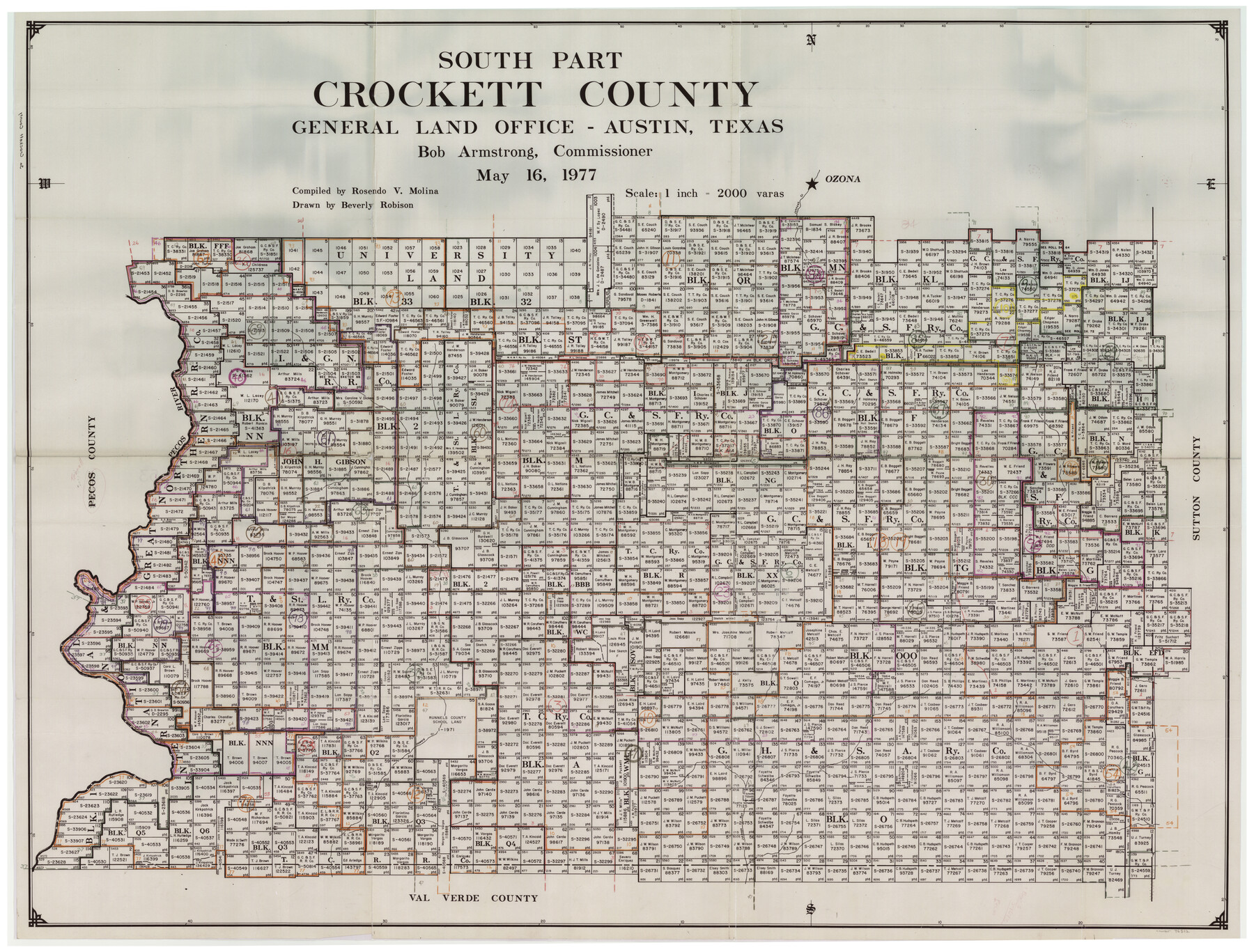
Crockett County Working Sketch Graphic Index - south part
-
Map/Doc
76512
-
Collection
General Map Collection
-
Object Dates
5/16/1977 (Creation Date)
-
People and Organizations
Rosendo V. Molina (Compiler)
Beverly Robison (Draftsman)
-
Counties
Crockett
-
Subjects
County Surveying Working Sketch
-
Height x Width
38.2 x 50.0 inches
97.0 x 127.0 cm
-
Scale
1" = 2000 varas
Part of: General Map Collection
Right of Way and Track Map, St. Louis, Brownsville & Mexico Railway operated by St. Louis Brownsville & Mexico Ry. Co., Jefferson Lake Oil Company

Print $40.00
- Digital $50.00
Right of Way and Track Map, St. Louis, Brownsville & Mexico Railway operated by St. Louis Brownsville & Mexico Ry. Co., Jefferson Lake Oil Company
1937
Size 25.3 x 57.1 inches
Map/Doc 64612
Upshur County Working Sketch Graphic Index

Print $20.00
- Digital $50.00
Upshur County Working Sketch Graphic Index
1945
Size 40.8 x 35.4 inches
Map/Doc 76720
La Salle County Rolled Sketch 7

Print $40.00
- Digital $50.00
La Salle County Rolled Sketch 7
Size 38.7 x 48.0 inches
Map/Doc 10652
Bosque County Sketch File 8

Print $4.00
- Digital $50.00
Bosque County Sketch File 8
1858
Size 12.4 x 8.2 inches
Map/Doc 14752
Sterling County Sketch File 18

Print $8.00
- Digital $50.00
Sterling County Sketch File 18
1939
Size 11.2 x 8.7 inches
Map/Doc 37161
Map of Bee County

Print $20.00
- Digital $50.00
Map of Bee County
1879
Size 25.1 x 22.7 inches
Map/Doc 3289
Bosque County Working Sketch 22

Print $40.00
- Digital $50.00
Bosque County Working Sketch 22
1984
Size 38.2 x 54.9 inches
Map/Doc 67455
Concho County Rolled Sketch 1

Print $20.00
- Digital $50.00
Concho County Rolled Sketch 1
1945
Size 19.5 x 25.0 inches
Map/Doc 5543
Sterling County Sketch File 20

Print $12.00
- Digital $50.00
Sterling County Sketch File 20
1952
Size 11.2 x 8.7 inches
Map/Doc 37173
Culberson County Sketch File 3b

Print $20.00
- Digital $50.00
Culberson County Sketch File 3b
1880
Size 20.3 x 28.0 inches
Map/Doc 11262
Donley County Boundary File 4

Print $10.00
- Digital $50.00
Donley County Boundary File 4
Size 5.7 x 8.4 inches
Map/Doc 52630
Cottle County Working Sketch 12

Print $20.00
- Digital $50.00
Cottle County Working Sketch 12
1959
Size 39.1 x 25.7 inches
Map/Doc 68322
You may also like
Mitchell County

Print $20.00
- Digital $50.00
Mitchell County
1889
Size 44.3 x 37.8 inches
Map/Doc 66935
Pressler's Map of the State of Texas

Print $40.00
- Digital $50.00
Pressler's Map of the State of Texas
1862
Size 48.0 x 52.7 inches
Map/Doc 95714
Reconnoissance of Sabine River and Valley

Print $20.00
Reconnoissance of Sabine River and Valley
1863
Size 42.5 x 30.3 inches
Map/Doc 97500
Webb County Working Sketch 42

Print $20.00
- Digital $50.00
Webb County Working Sketch 42
1941
Size 12.2 x 16.1 inches
Map/Doc 72407
Kinney County Sketch File 18

Print $20.00
- Digital $50.00
Kinney County Sketch File 18
Size 29.0 x 25.2 inches
Map/Doc 11943

Montgomery County

Print $20.00
- Digital $50.00
Montgomery County
1901
Size 21.9 x 25.3 inches
Map/Doc 3898
Loving County Working Sketch 11

Print $40.00
- Digital $50.00
Loving County Working Sketch 11
1957
Size 21.6 x 50.9 inches
Map/Doc 70644
Crosby County Working Sketch 1

Print $20.00
- Digital $50.00
Crosby County Working Sketch 1
Size 28.0 x 26.0 inches
Map/Doc 68435
[Sketch of Col. Cooke's Military Road expedition from Red River to Austin]
![166, [Sketch of Col. Cooke's Military Road expedition from Red River to Austin], General Map Collection](https://historictexasmaps.com/wmedia_w700/maps/166.tif.jpg)
Print $20.00
- Digital $50.00
[Sketch of Col. Cooke's Military Road expedition from Red River to Austin]
Size 29.4 x 22.9 inches
Map/Doc 166
The Republic County of Gonzales. December 18, 1837

Print $20.00
The Republic County of Gonzales. December 18, 1837
2020
Size 14.7 x 21.7 inches
Map/Doc 96154
