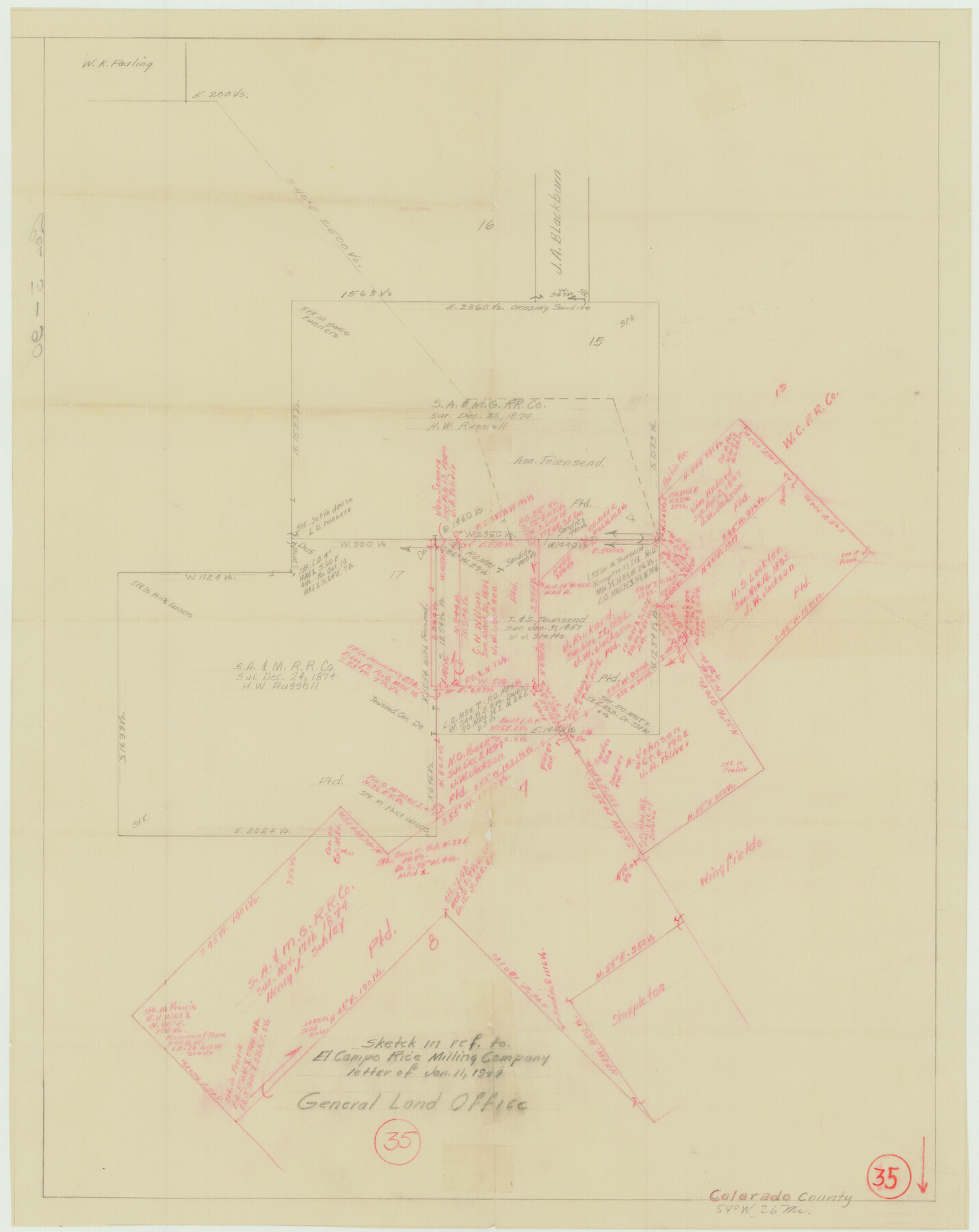
Colorado County Working Sketch 35
Sketch in ref. to El Campo Rice Milling Company letter of Jan 11, 1949
-
Map/Doc
76065
-
Collection
General Map Collection
-
Counties
Colorado
-
Subjects
Surveying Working Sketch
-
Height x Width
19.8 x 15.8 inches
50.3 x 40.1 cm
Part of: General Map Collection
Calcasieu Pass to Sabine Pass

Print $20.00
- Digital $50.00
Calcasieu Pass to Sabine Pass
1976
Size 44.6 x 35.3 inches
Map/Doc 69813
San Jacinto County Rolled Sketch 14

Print $20.00
- Digital $50.00
San Jacinto County Rolled Sketch 14
1998
Size 25.8 x 37.2 inches
Map/Doc 7569
Fisher County Working Sketch 5

Print $20.00
- Digital $50.00
Fisher County Working Sketch 5
1926
Size 23.0 x 25.6 inches
Map/Doc 69139
Jefferson County Rolled Sketch 48A

Print $20.00
- Digital $50.00
Jefferson County Rolled Sketch 48A
1964
Size 28.4 x 28.1 inches
Map/Doc 6404
Map of the lower surveys in Robertsons Colony Sold by the State of Coahuila and Texas

Print $20.00
- Digital $50.00
Map of the lower surveys in Robertsons Colony Sold by the State of Coahuila and Texas
1834
Size 22.0 x 28.5 inches
Map/Doc 122
Pecos County Sketch File 85

Print $19.00
- Digital $50.00
Pecos County Sketch File 85
1948
Size 14.6 x 9.2 inches
Map/Doc 33955
Pecos County Working Sketch 90

Print $40.00
- Digital $50.00
Pecos County Working Sketch 90
1964
Size 65.3 x 26.6 inches
Map/Doc 71562
Culberson County Rolled Sketch SL

Print $20.00
- Digital $50.00
Culberson County Rolled Sketch SL
1930
Size 19.1 x 24.7 inches
Map/Doc 5683
Nacogdoches County Working Sketch 8

Print $20.00
- Digital $50.00
Nacogdoches County Working Sketch 8
1964
Size 28.0 x 22.7 inches
Map/Doc 71224
Aransas Pass to Baffin Bay

Print $20.00
- Digital $50.00
Aransas Pass to Baffin Bay
1922
Size 18.6 x 27.8 inches
Map/Doc 73409
Armstrong County

Print $20.00
- Digital $50.00
Armstrong County
1904
Size 45.7 x 40.6 inches
Map/Doc 4876
Pecos County Sketch File 33

Print $40.00
- Digital $50.00
Pecos County Sketch File 33
1935
Size 8.9 x 20.7 inches
Map/Doc 33712
You may also like
Coleman County

Print $40.00
- Digital $50.00
Coleman County
1945
Size 54.7 x 37.1 inches
Map/Doc 73109
Starr County Sketch File 48a

Print $40.00
- Digital $50.00
Starr County Sketch File 48a
1950
Size 9.0 x 22.0 inches
Map/Doc 37005
Liberty County Rolled Sketch JP2

Print $40.00
- Digital $50.00
Liberty County Rolled Sketch JP2
1935
Size 51.8 x 12.8 inches
Map/Doc 10663
Edwards County Working Sketch 129

Print $20.00
- Digital $50.00
Edwards County Working Sketch 129
1981
Size 33.6 x 41.3 inches
Map/Doc 69005
Pecos County Sketch File 116

Print $6.00
- Digital $50.00
Pecos County Sketch File 116
1913
Size 10.9 x 8.8 inches
Map/Doc 34092
Hood County Working Sketch 4

Print $20.00
- Digital $50.00
Hood County Working Sketch 4
1967
Size 31.6 x 36.6 inches
Map/Doc 66198
Flight Mission No. DAG-21K, Frame 90, Matagorda County

Print $20.00
- Digital $50.00
Flight Mission No. DAG-21K, Frame 90, Matagorda County
1952
Size 18.5 x 22.2 inches
Map/Doc 86419
Brazos Santiago, Texas

Print $20.00
- Digital $50.00
Brazos Santiago, Texas
1900
Size 18.2 x 27.1 inches
Map/Doc 73034
San Patricio County Aerial Photograph Index Sheet 1

Print $20.00
- Digital $50.00
San Patricio County Aerial Photograph Index Sheet 1
1957
Size 23.8 x 19.3 inches
Map/Doc 83744
Flight Mission No. BRA-9M, Frame 63, Jefferson County

Print $20.00
- Digital $50.00
Flight Mission No. BRA-9M, Frame 63, Jefferson County
1953
Size 18.6 x 22.4 inches
Map/Doc 85646
The Republic County of Brazoria. Proposed, Late Fall 1837

Print $20.00
The Republic County of Brazoria. Proposed, Late Fall 1837
2020
Size 13.0 x 21.7 inches
Map/Doc 96109
Right of Way and Track Map Texas & New Orleans R.R. Co. operated by the T. & N. O. R.R. Co. Dallas-Sabine Branch

Print $40.00
- Digital $50.00
Right of Way and Track Map Texas & New Orleans R.R. Co. operated by the T. & N. O. R.R. Co. Dallas-Sabine Branch
1918
Size 26.1 x 56.7 inches
Map/Doc 64150