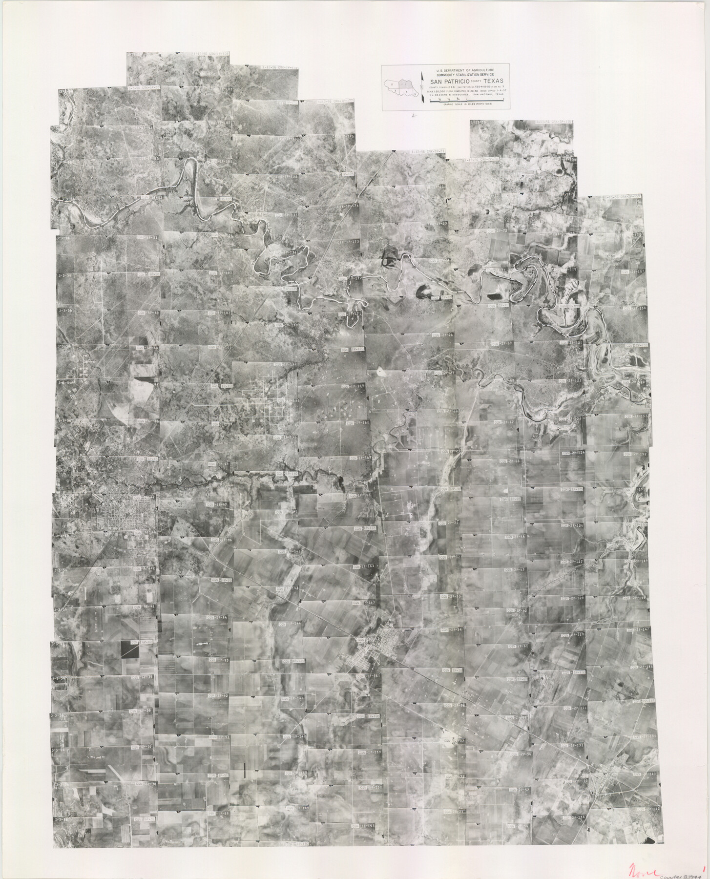
San Patricio County Aerial Photograph Index Sheet 1
San Patricio County Aerial Photograph Index 1
-
Map/Doc
83744
-
Collection
General Map Collection
-
Object Dates
1957/1/4 (Creation Date)
-
People and Organizations
U. S. Department of Agriculture (Publisher)
-
Counties
San Patricio
-
Subjects
Aerial Photograph
-
Height x Width
23.8 x 19.3 inches
60.5 x 49.0 cm
-
Comments
Flying completed October 30, 1956 by V. L. Beavers and Associates of San Antonio, Texas.
Part of: General Map Collection
Gillespie County

Print $20.00
- Digital $50.00
Gillespie County
1945
Size 36.7 x 45.6 inches
Map/Doc 77289
Map of Portland, Texas in San Patricio County

Print $20.00
- Digital $50.00
Map of Portland, Texas in San Patricio County
Size 39.8 x 46.0 inches
Map/Doc 48886

Culberson County Sketch File 5a

Print $44.00
- Digital $50.00
Culberson County Sketch File 5a
Size 14.2 x 8.8 inches
Map/Doc 20169
Map of Texas Gulf Coast and Texas Continental Shelf showing Natural Gas Pipe Lines

Print $40.00
- Digital $50.00
Map of Texas Gulf Coast and Texas Continental Shelf showing Natural Gas Pipe Lines
1966
Size 39.6 x 57.0 inches
Map/Doc 75902
Coleman County

Print $20.00
- Digital $50.00
Coleman County
1858
Size 25.2 x 22.5 inches
Map/Doc 3409
Briscoe County Sketch File P

Print $40.00
- Digital $50.00
Briscoe County Sketch File P
Size 23.1 x 34.0 inches
Map/Doc 11014
Red River County Rolled Sketch 10

Print $20.00
- Digital $50.00
Red River County Rolled Sketch 10
2005
Size 35.8 x 35.6 inches
Map/Doc 83316
Flight Mission No. CRC-3R, Frame 49, Chambers County

Print $20.00
- Digital $50.00
Flight Mission No. CRC-3R, Frame 49, Chambers County
1956
Size 18.6 x 22.3 inches
Map/Doc 84822
Kerr County Boundary File 5

Print $8.00
- Digital $50.00
Kerr County Boundary File 5
Size 14.2 x 8.7 inches
Map/Doc 64818

Outer Continental Shelf Leasing Maps (Louisiana Offshore Operations)

Print $20.00
- Digital $50.00
Outer Continental Shelf Leasing Maps (Louisiana Offshore Operations)
1959
Size 17.9 x 13.8 inches
Map/Doc 76101
You may also like
Leon County Working Sketch 15

Print $20.00
- Digital $50.00
Leon County Working Sketch 15
1958
Size 27.3 x 26.7 inches
Map/Doc 70414
Yoakum County Sketch File 11

Print $4.00
- Digital $50.00
Yoakum County Sketch File 11
1914
Size 11.3 x 8.9 inches
Map/Doc 40763
Coast Chart No. 212 - From Latitude 26° 33' to the Rio Grande Texas

Print $20.00
- Digital $50.00
Coast Chart No. 212 - From Latitude 26° 33' to the Rio Grande Texas
1886
Size 27.7 x 18.2 inches
Map/Doc 72827
Harris County Historic Topographic 12

Print $20.00
- Digital $50.00
Harris County Historic Topographic 12
1915
Size 19.5 x 23.5 inches
Map/Doc 65822
Randall County Working Sketch 2

Print $20.00
- Digital $50.00
Randall County Working Sketch 2
1980
Size 28.6 x 31.3 inches
Map/Doc 71839
Calhoun County Rolled Sketch 6

Print $20.00
- Digital $50.00
Calhoun County Rolled Sketch 6
Size 24.0 x 22.5 inches
Map/Doc 5362
Hardeman County Rolled Sketch 15

Print $20.00
- Digital $50.00
Hardeman County Rolled Sketch 15
1890
Size 18.0 x 23.0 inches
Map/Doc 6072
Map of Nacogdoches County

Print $40.00
- Digital $50.00
Map of Nacogdoches County
1839
Size 81.0 x 40.9 inches
Map/Doc 93374
Nacogdoches County Sketch File 17

Print $2.00
- Digital $50.00
Nacogdoches County Sketch File 17
1867
Size 15.4 x 8.7 inches
Map/Doc 32267
Hunt County Sketch File 10

Print $4.00
- Digital $50.00
Hunt County Sketch File 10
1859
Size 12.4 x 8.0 inches
Map/Doc 27100

Pecos County Sketch File 55

Print $20.00
- Digital $50.00
Pecos County Sketch File 55
Size 43.1 x 20.4 inches
Map/Doc 10570