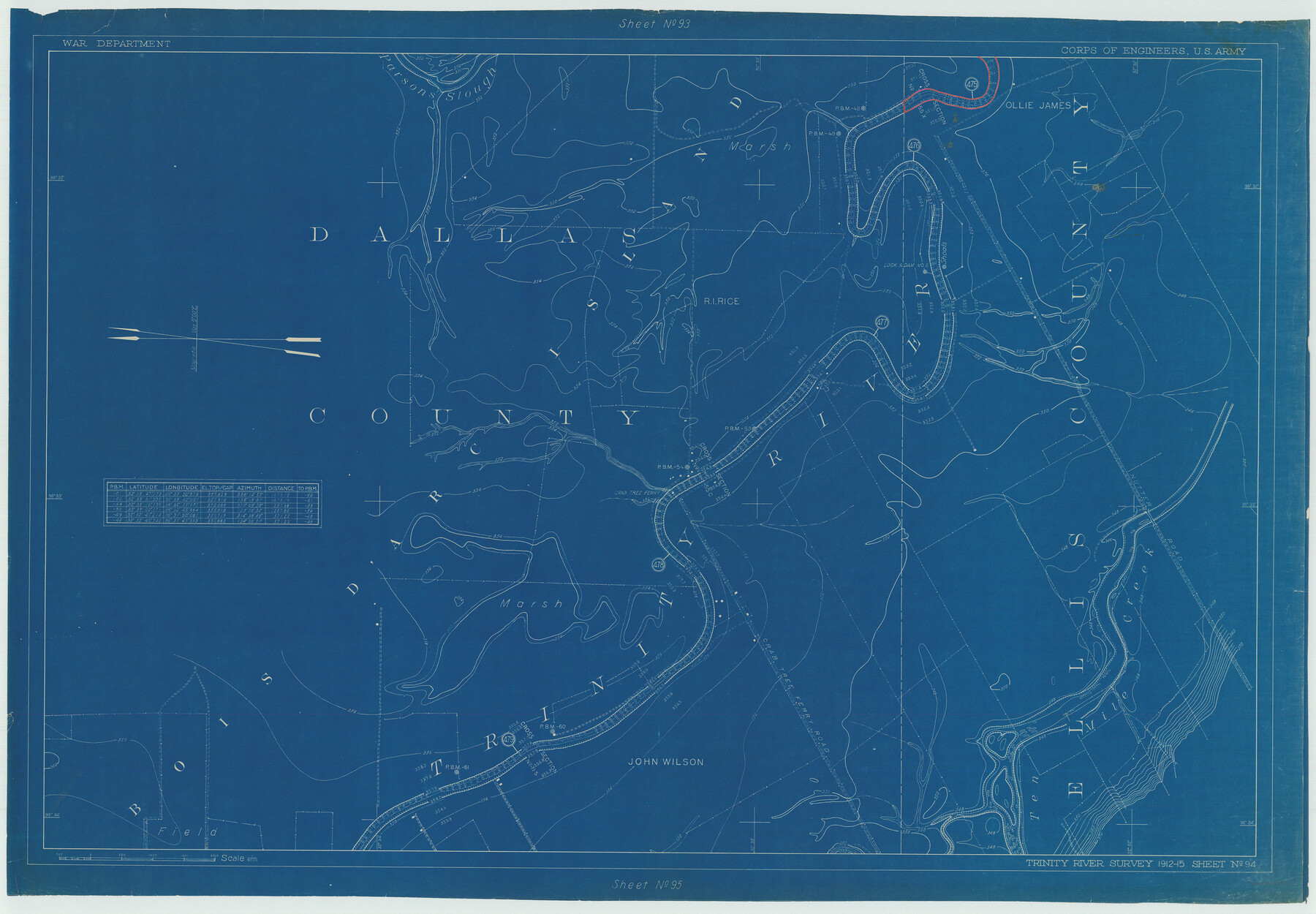
Henderson County Rolled Sketch 11
Trinity River Survey 1912-15, Sheet No. 94
N-1-45
-
Map/Doc
75960
-
Collection
General Map Collection
-
Object Dates
1915 (Creation Date)
1976/2/13 (File Date)
-
People and Organizations
War Department (Publisher)
-
Counties
Ellis Dallas
-
Subjects
River Surveys Surveying Rolled Sketch
-
Height x Width
29.5 x 42.5 inches
74.9 x 108.0 cm
-
Medium
blueprint/diazo
Part of: General Map Collection
Flight Mission No. DAG-21K, Frame 38, Matagorda County

Print $20.00
- Digital $50.00
Flight Mission No. DAG-21K, Frame 38, Matagorda County
1952
Size 18.6 x 22.3 inches
Map/Doc 86405
Orange County Rolled Sketch 32

Print $20.00
- Digital $50.00
Orange County Rolled Sketch 32
1982
Size 33.6 x 22.5 inches
Map/Doc 7188
El Paso County Sketch File 33

Print $2.00
- Digital $50.00
El Paso County Sketch File 33
1983
Size 9.0 x 14.5 inches
Map/Doc 22128
Zavalla [sic] County
![16939, Zavalla [sic] County, General Map Collection](https://historictexasmaps.com/wmedia_w700/maps/16939.tif.jpg)
Print $20.00
- Digital $50.00
Zavalla [sic] County
1893
Size 44.5 x 46.3 inches
Map/Doc 16939
Kimble County Sketch File 9

Print $22.00
- Digital $50.00
Kimble County Sketch File 9
1871
Size 8.2 x 14.1 inches
Map/Doc 28927
Jefferson County Rolled Sketch 34

Print $20.00
- Digital $50.00
Jefferson County Rolled Sketch 34
1957
Size 43.9 x 34.6 inches
Map/Doc 9296
Dallas County Boundary File 4b

Print $12.00
- Digital $50.00
Dallas County Boundary File 4b
Size 10.8 x 8.3 inches
Map/Doc 52154
Current Miscellaneous File 89

Print $4.00
- Digital $50.00
Current Miscellaneous File 89
Size 12.1 x 8.9 inches
Map/Doc 74253
Leon County Sketch File 29

Print $8.00
- Digital $50.00
Leon County Sketch File 29
1951
Size 11.2 x 8.8 inches
Map/Doc 29825
Harris County Sketch File 49

Print $10.00
- Digital $50.00
Harris County Sketch File 49
1908
Size 11.4 x 9.0 inches
Map/Doc 25446
Foard County Working Sketch 7

Print $20.00
- Digital $50.00
Foard County Working Sketch 7
1953
Size 26.0 x 32.7 inches
Map/Doc 69198
Kerr County Boundary File 1

Print $4.00
- Digital $50.00
Kerr County Boundary File 1
Size 12.7 x 8.1 inches
Map/Doc 55982
You may also like
Lubbock County

Print $20.00
- Digital $50.00
Lubbock County
1968
Size 42.1 x 34.1 inches
Map/Doc 73226
Flight Mission No. BQR-14K, Frame 40, Brazoria County

Print $20.00
- Digital $50.00
Flight Mission No. BQR-14K, Frame 40, Brazoria County
1952
Size 18.7 x 22.3 inches
Map/Doc 84097
Liberty County Rolled Sketch K

Print $40.00
- Digital $50.00
Liberty County Rolled Sketch K
1946
Size 35.3 x 54.7 inches
Map/Doc 10647
Flight Mission No. DQN-1K, Frame 140, Calhoun County

Print $20.00
- Digital $50.00
Flight Mission No. DQN-1K, Frame 140, Calhoun County
1953
Size 18.5 x 22.2 inches
Map/Doc 84203

Jasper County Working Sketch 32

Print $20.00
- Digital $50.00
Jasper County Working Sketch 32
1993
Size 18.7 x 22.7 inches
Map/Doc 66494
Galveston County NRC Article 33.136 Sketch 5

Print $20.00
- Digital $50.00
Galveston County NRC Article 33.136 Sketch 5
2001
Size 23.5 x 19.1 inches
Map/Doc 61587
Knox County Rolled Sketch 25

Print $20.00
- Digital $50.00
Knox County Rolled Sketch 25
2007
Size 11.4 x 10.8 inches
Map/Doc 88749
Hutchinson County Rolled Sketch 37

Print $20.00
- Digital $50.00
Hutchinson County Rolled Sketch 37
1950
Size 24.4 x 44.4 inches
Map/Doc 6296
Foard County Working Sketch 8

Print $40.00
- Digital $50.00
Foard County Working Sketch 8
1975
Size 57.0 x 40.0 inches
Map/Doc 69199
Wilson County Working Sketch 8

Print $20.00
- Digital $50.00
Wilson County Working Sketch 8
1975
Size 36.5 x 31.9 inches
Map/Doc 72588
Armstrong County Sketch File A-8

Print $80.00
- Digital $50.00
Armstrong County Sketch File A-8
Size 21.3 x 33.2 inches
Map/Doc 10850