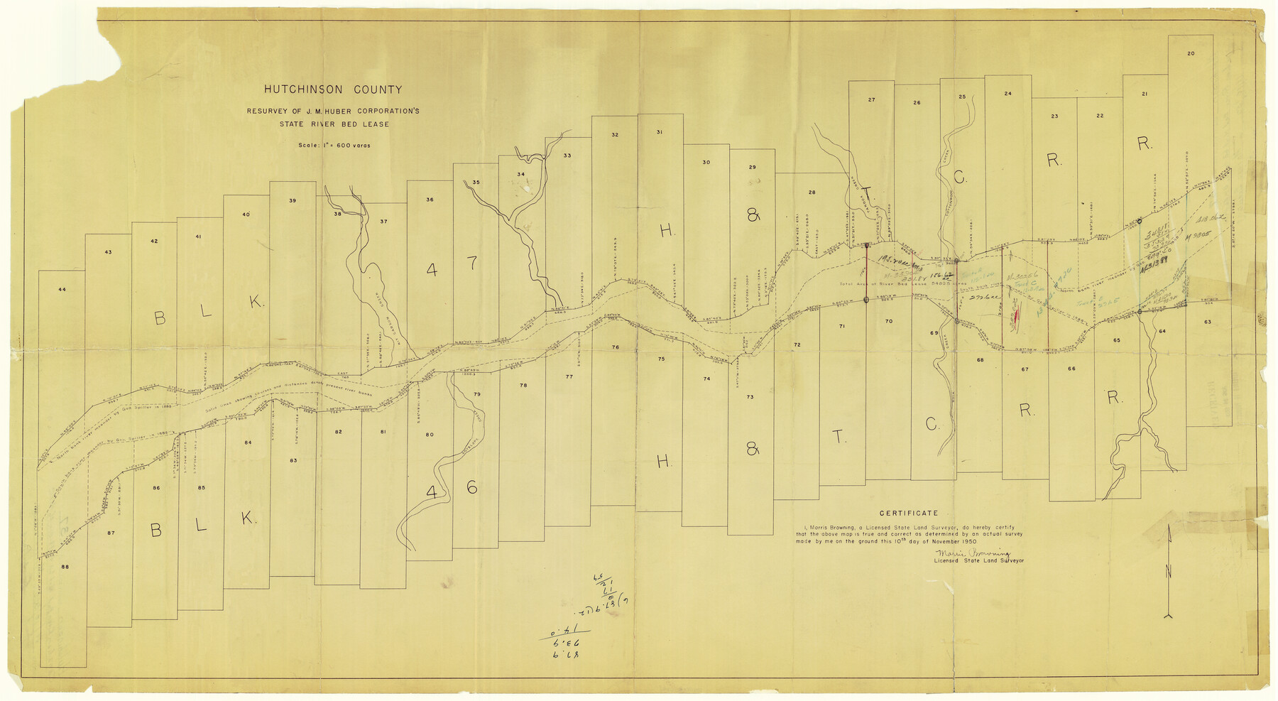
Hutchinson County Rolled Sketch 37
Resurvey of J.M. Huber Corporation's State River Bed Lease
-
Map/Doc
6296
-
Collection
General Map Collection
-
Object Dates
11/10/1950 (Creation Date)
3/1/1954 (File Date)
-
People and Organizations
Morris Browning (Surveyor/Engineer)
-
Counties
Hutchinson
-
Subjects
Surveying Rolled Sketch
-
Height x Width
24.4 x 44.4 inches
62.0 x 112.8 cm
-
Medium
van dyke/brownline/sepia
-
Scale
1" = 600 varas
Part of: General Map Collection
Wilson County Sketch File 10

Print $4.00
- Digital $50.00
Wilson County Sketch File 10
Size 6.7 x 6.2 inches
Map/Doc 40417
Shelby County Sketch File 29

Print $4.00
- Digital $50.00
Shelby County Sketch File 29
Size 8.1 x 12.8 inches
Map/Doc 36666
Louisiana and Texas Intracoastal Waterway Proposed Extension to Rio Grande Valley

Print $20.00
- Digital $50.00
Louisiana and Texas Intracoastal Waterway Proposed Extension to Rio Grande Valley
1941
Size 28.1 x 41.1 inches
Map/Doc 61891
Shelby County Working Sketch 23a

Print $20.00
- Digital $50.00
Shelby County Working Sketch 23a
1983
Size 28.1 x 31.0 inches
Map/Doc 63876
Map of North America engraved to illustrate Mitchell's new intermediate geography

Print $20.00
- Digital $50.00
Map of North America engraved to illustrate Mitchell's new intermediate geography
1885
Size 12.2 x 9.0 inches
Map/Doc 93512
San Augustine County Rolled Sketch 1

Print $20.00
- Digital $50.00
San Augustine County Rolled Sketch 1
Size 16.6 x 13.8 inches
Map/Doc 7552
Liberty County Working Sketch 33

Print $20.00
- Digital $50.00
Liberty County Working Sketch 33
1954
Size 30.6 x 36.7 inches
Map/Doc 70492
Dallam County Sketch File 6

Print $60.00
- Digital $50.00
Dallam County Sketch File 6
Size 12.4 x 17.0 inches
Map/Doc 20350
Kerr County Sketch File 23

Print $8.00
- Digital $50.00
Kerr County Sketch File 23
1959
Size 14.2 x 8.8 inches
Map/Doc 28901
San Jacinto County Rolled Sketch 12

Print $20.00
- Digital $50.00
San Jacinto County Rolled Sketch 12
1948
Size 24.2 x 32.5 inches
Map/Doc 7561
Flight Mission No. CUG-3P, Frame 23, Kleberg County

Print $20.00
- Digital $50.00
Flight Mission No. CUG-3P, Frame 23, Kleberg County
1956
Size 18.5 x 22.3 inches
Map/Doc 86233
Archer County Working Sketch 1

Print $20.00
- Digital $50.00
Archer County Working Sketch 1
Size 42.4 x 42.0 inches
Map/Doc 67141
You may also like
[Block K, Public School Land]
![92907, [Block K, Public School Land], Twichell Survey Records](https://historictexasmaps.com/wmedia_w700/maps/92907-1.tif.jpg)
Print $20.00
- Digital $50.00
[Block K, Public School Land]
1902
Size 17.9 x 32.8 inches
Map/Doc 92907

Liberty County Working Sketch 71

Print $20.00
- Digital $50.00
Liberty County Working Sketch 71
1977
Size 37.3 x 31.8 inches
Map/Doc 70531
[Blocks 1 and H]
![90719, [Blocks 1 and H], Twichell Survey Records](https://historictexasmaps.com/wmedia_w700/maps/90719-1.tif.jpg)
Print $20.00
- Digital $50.00
[Blocks 1 and H]
Size 27.1 x 21.6 inches
Map/Doc 90719
Live Oak County Sketch File 13

Print $17.00
- Digital $50.00
Live Oak County Sketch File 13
1880
Size 10.2 x 13.7 inches
Map/Doc 30270
Flight Mission No. BRA-16M, Frame 182, Jefferson County

Print $20.00
- Digital $50.00
Flight Mission No. BRA-16M, Frame 182, Jefferson County
1953
Size 18.6 x 22.4 inches
Map/Doc 85780
Flight Mission No. DAG-17K, Frame 61, Matagorda County

Print $20.00
- Digital $50.00
Flight Mission No. DAG-17K, Frame 61, Matagorda County
1952
Size 16.4 x 16.4 inches
Map/Doc 86323
Flight Mission No. CRE-2R, Frame 152, Jackson County

Print $20.00
- Digital $50.00
Flight Mission No. CRE-2R, Frame 152, Jackson County
1956
Size 16.3 x 16.1 inches
Map/Doc 85363
Cecil Stein Drilling Block

Print $3.00
- Digital $50.00
Cecil Stein Drilling Block
1951
Size 12.3 x 9.5 inches
Map/Doc 92280
Tom Green County Rolled Sketch 18

Print $20.00
- Digital $50.00
Tom Green County Rolled Sketch 18
Size 15.7 x 23.8 inches
Map/Doc 8001
Stephens County Sketch File 6

Print $4.00
- Digital $50.00
Stephens County Sketch File 6
Size 9.1 x 9.1 inches
Map/Doc 37021
Aransas County NRC Article 33.136 Sketch 8

Print $22.00
- Digital $50.00
Aransas County NRC Article 33.136 Sketch 8
2007
Size 24.0 x 36.0 inches
Map/Doc 88800