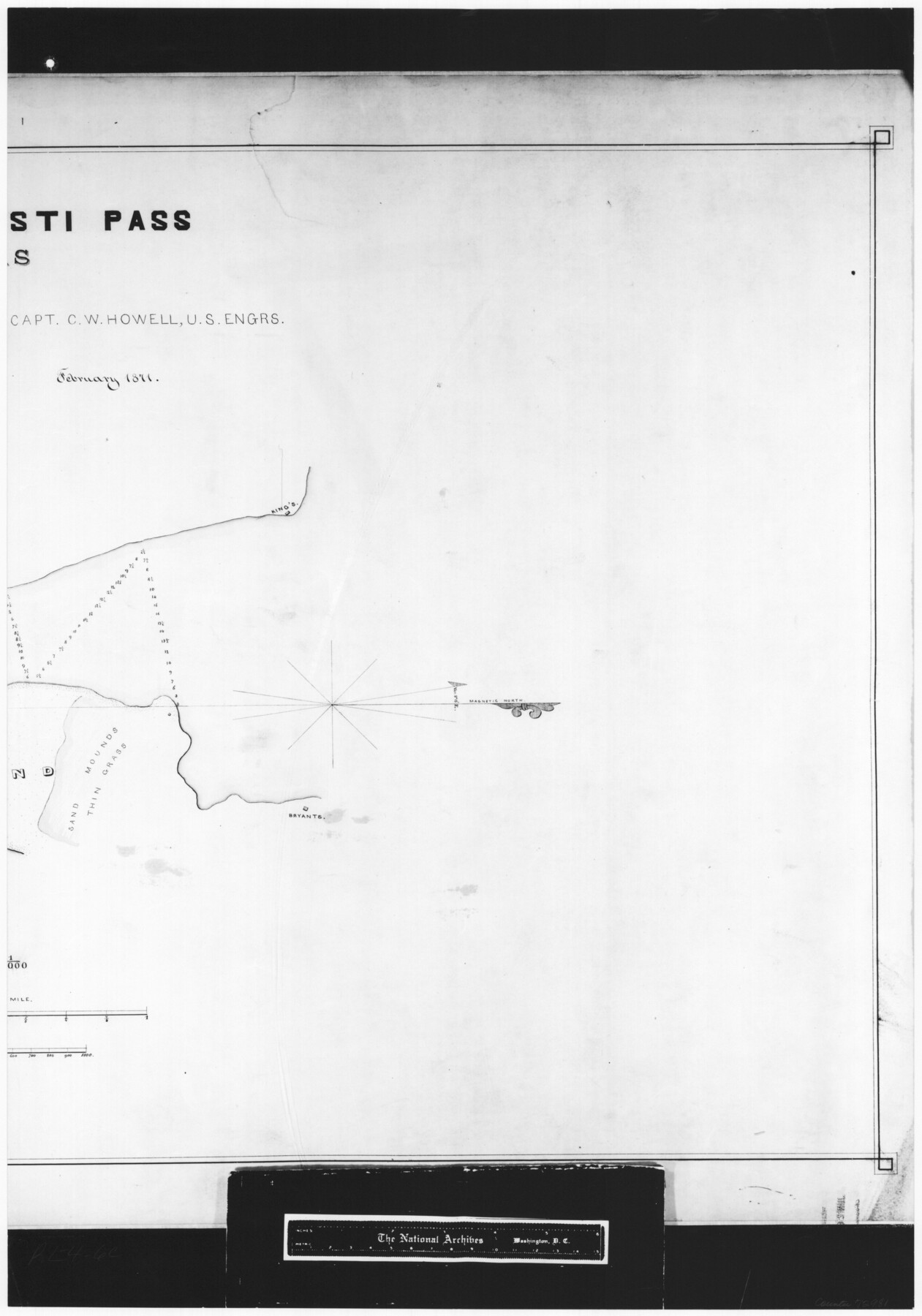
Corpus Christi Pass, Texas
RL-4-6c
-
Map/Doc
72981
-
Collection
General Map Collection
-
Object Dates
1871 (Creation Date)
-
People and Organizations
E.K. Woodruff (Surveyor/Engineer)
-
Subjects
Nautical Charts
-
Height x Width
26.1 x 18.3 inches
66.3 x 46.5 cm
-
Comments
B/W photostat copy from National Archives in multiple pieces.
Part of: General Map Collection
Erath County Rolled Sketch 4

Print $20.00
- Digital $50.00
Erath County Rolled Sketch 4
Size 29.1 x 40.9 inches
Map/Doc 5866
Sketch A Shewing the progress of the Survey in Section No. 1 From 1844 to 1852

Print $20.00
- Digital $50.00
Sketch A Shewing the progress of the Survey in Section No. 1 From 1844 to 1852
1852
Size 38.1 x 25.3 inches
Map/Doc 97200
Yoakum County

Print $20.00
- Digital $50.00
Yoakum County
1932
Size 47.1 x 35.6 inches
Map/Doc 63139
Parker County Working Sketch 26

Print $20.00
- Digital $50.00
Parker County Working Sketch 26
2008
Map/Doc 88856
Webb County Rolled Sketch EF1

Print $20.00
- Digital $50.00
Webb County Rolled Sketch EF1
1931
Size 40.3 x 30.0 inches
Map/Doc 8223
Dallas County Working Sketch 4

Print $20.00
- Digital $50.00
Dallas County Working Sketch 4
1935
Size 24.1 x 30.4 inches
Map/Doc 68570
Cottle County Sketch File 16

Print $8.00
- Digital $50.00
Cottle County Sketch File 16
1911
Size 10.7 x 8.7 inches
Map/Doc 19518
Val Verde County Sketch File Z10

Print $20.00
- Digital $50.00
Val Verde County Sketch File Z10
1895
Size 24.3 x 37.6 inches
Map/Doc 12555
Tarrant County Sketch File 16

Print $4.00
- Digital $50.00
Tarrant County Sketch File 16
1861
Size 8.2 x 6.4 inches
Map/Doc 37710
Flight Mission No. DCL-6C, Frame 175, Kenedy County

Print $20.00
- Digital $50.00
Flight Mission No. DCL-6C, Frame 175, Kenedy County
1943
Size 18.6 x 22.3 inches
Map/Doc 85987
Brewster County Rolled Sketch 148B

Print $20.00
- Digital $50.00
Brewster County Rolled Sketch 148B
1994
Size 28.0 x 36.3 inches
Map/Doc 5315
Brewster County Working Sketch 75

Print $20.00
- Digital $50.00
Brewster County Working Sketch 75
1967
Size 28.3 x 36.9 inches
Map/Doc 67675
You may also like
Brazoria County Sketch File 14

Print $8.00
- Digital $50.00
Brazoria County Sketch File 14
1892
Size 13.9 x 8.7 inches
Map/Doc 14973
Collin County Sketch File 12

Print $40.00
- Digital $50.00
Collin County Sketch File 12
1851
Size 24.3 x 31.3 inches
Map/Doc 11127
Calhoun County Aerial Photograph Index Sheet 2

Print $20.00
- Digital $50.00
Calhoun County Aerial Photograph Index Sheet 2
1953
Size 24.1 x 19.8 inches
Map/Doc 83671
Henderson County Working Sketch 34

Print $20.00
- Digital $50.00
Henderson County Working Sketch 34
1965
Size 22.9 x 35.8 inches
Map/Doc 66167
Pecos County Rolled Sketch 138

Print $20.00
- Digital $50.00
Pecos County Rolled Sketch 138
Size 27.9 x 21.7 inches
Map/Doc 7274
Medina County Working Sketch 27

Print $20.00
- Digital $50.00
Medina County Working Sketch 27
1985
Size 22.8 x 24.8 inches
Map/Doc 70942

Township 1 South Range 12 West, South Western District, Louisiana

Print $20.00
- Digital $50.00
Township 1 South Range 12 West, South Western District, Louisiana
1884
Size 19.5 x 24.7 inches
Map/Doc 65880
Van Zandt County Sketch File 30

Print $4.00
- Digital $50.00
Van Zandt County Sketch File 30
1859
Size 12.2 x 8.0 inches
Map/Doc 39461
Crockett County Working Sketch 89

Print $20.00
- Digital $50.00
Crockett County Working Sketch 89
1978
Size 36.4 x 44.5 inches
Map/Doc 68422
[Bastrop District]
![83517, [Bastrop District], General Map Collection](https://historictexasmaps.com/wmedia_w700/maps/83517-1.tif.jpg)
Print $20.00
- Digital $50.00
[Bastrop District]
1838
Size 25.1 x 46.1 inches
Map/Doc 83517
Zavala County Sketch File 10

Print $20.00
- Digital $50.00
Zavala County Sketch File 10
Size 17.6 x 25.7 inches
Map/Doc 12728