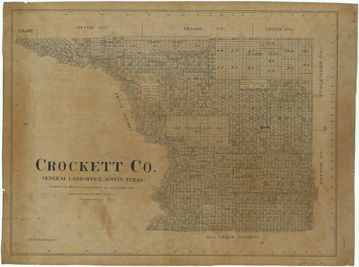
[Bastrop District]
-
Map/Doc
83517
-
Collection
General Map Collection
-
Object Dates
[1838 ca.] (Creation Date)
-
People and Organizations
Bartlett Sims (Compiler)
Bartlett Sims (Surveyor/Engineer)
-
Counties
Bastrop Travis Hays Comal Blanco Williamson
-
Subjects
District
-
Height x Width
25.1 x 46.1 inches
63.8 x 117.1 cm
-
Comments
Digitally combined image. See counters 83517, 83518, and 83519 for the original segments and 16941 for digital composite.
Part of: General Map Collection
Upton County Working Sketch 40


Print $40.00
- Digital $50.00
Upton County Working Sketch 40
1959
Size 37.5 x 63.7 inches
Map/Doc 69536
The Making of America - The Southwest


The Making of America - The Southwest
Size 20.8 x 27.5 inches
Map/Doc 95947
Bell County Working Sketch 19


Print $40.00
- Digital $50.00
Bell County Working Sketch 19
1994
Size 48.3 x 38.4 inches
Map/Doc 67359
Crosby County Working Sketch 17

Print $20.00
- Digital $50.00
Crosby County Working Sketch 17
1982
Size 32.8 x 43.9 inches
Map/Doc 68451
University Land in Grayson County in Two Parts


Print $20.00
- Digital $50.00
University Land in Grayson County in Two Parts
Size 23.9 x 30.4 inches
Map/Doc 2429
Kendall County Boundary File 3a


Print $8.00
- Digital $50.00
Kendall County Boundary File 3a
Size 11.2 x 8.9 inches
Map/Doc 55765
Amistad International Reservoir on Rio Grande 73

Print $20.00
- Digital $50.00
Amistad International Reservoir on Rio Grande 73
1949
Size 28.5 x 40.1 inches
Map/Doc 73362
Live Oak County Sketch File 21


Print $26.00
- Digital $50.00
Live Oak County Sketch File 21
1912
Size 16.8 x 8.0 inches
Map/Doc 30297
Flight Mission No. BRA-16M, Frame 175, Jefferson County


Print $20.00
- Digital $50.00
Flight Mission No. BRA-16M, Frame 175, Jefferson County
1953
Size 18.6 x 22.4 inches
Map/Doc 85773
Gillespie County Boundary File 5a
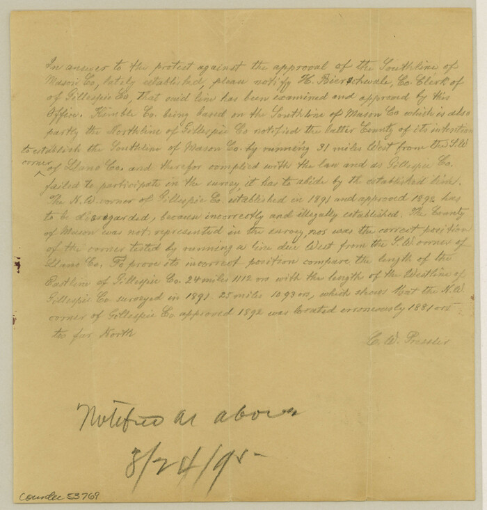

Print $2.00
- Digital $50.00
Gillespie County Boundary File 5a
Size 8.3 x 7.9 inches
Map/Doc 53769
Hopkins County Boundary File 3b
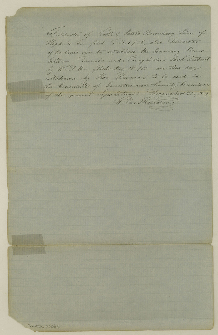

Print $4.00
- Digital $50.00
Hopkins County Boundary File 3b
Size 12.7 x 8.3 inches
Map/Doc 55084
You may also like
Jim Hogg County Sketch File 10
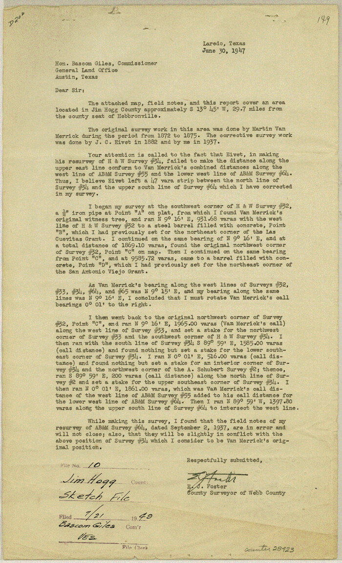

Print $22.00
- Digital $50.00
Jim Hogg County Sketch File 10
1947
Size 14.3 x 8.7 inches
Map/Doc 28423
Val Verde County Sketch File 51a
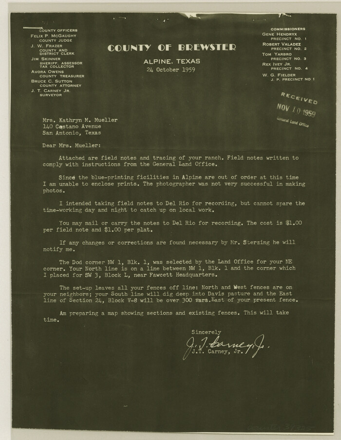

Print $8.00
- Digital $50.00
Val Verde County Sketch File 51a
1959
Size 11.4 x 8.8 inches
Map/Doc 39325
Hays County Rolled Sketch 27
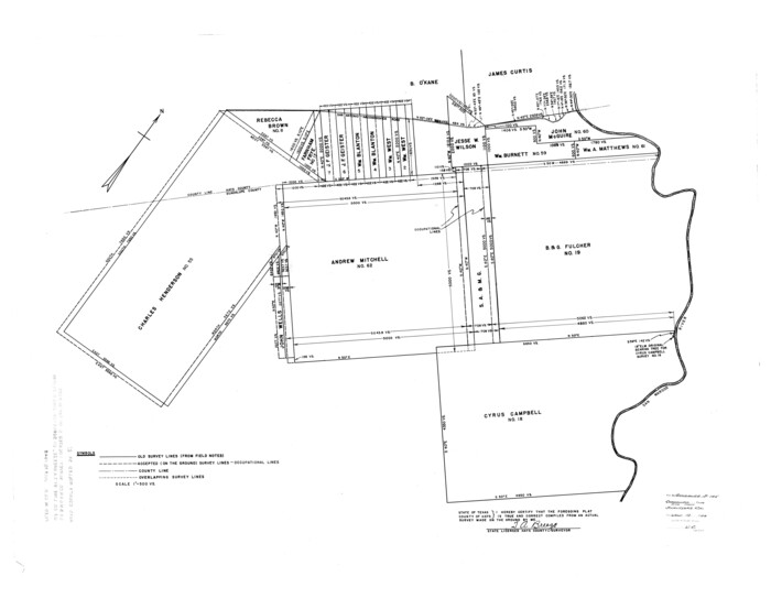

Print $20.00
- Digital $50.00
Hays County Rolled Sketch 27
1948
Size 34.0 x 43.0 inches
Map/Doc 9149
General Highway Map, Atascosa County, Texas
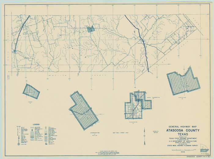

Print $20.00
General Highway Map, Atascosa County, Texas
1940
Size 18.5 x 25.0 inches
Map/Doc 79007
Copy of Surveyor's Field Book, Morris Browning - In Blocks 7, 5 & 4, I&GNRRCo., Hutchinson and Carson Counties, Texas


Print $2.00
- Digital $50.00
Copy of Surveyor's Field Book, Morris Browning - In Blocks 7, 5 & 4, I&GNRRCo., Hutchinson and Carson Counties, Texas
1888
Size 6.9 x 8.9 inches
Map/Doc 62285
Hardin County Sketch File 24a


Print $8.00
- Digital $50.00
Hardin County Sketch File 24a
1868
Size 5.8 x 7.9 inches
Map/Doc 25142
Cameron County
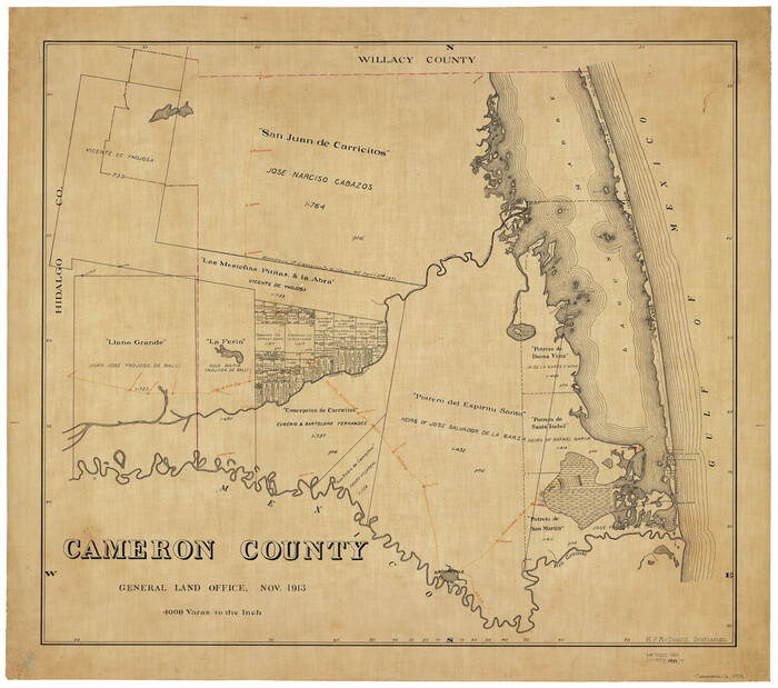

Print $20.00
- Digital $50.00
Cameron County
1913
Size 29.3 x 33.6 inches
Map/Doc 4902
General Highway Map, Burleson County, Texas


Print $20.00
General Highway Map, Burleson County, Texas
1940
Size 18.3 x 25.0 inches
Map/Doc 79032
Hall County Rolled Sketch D
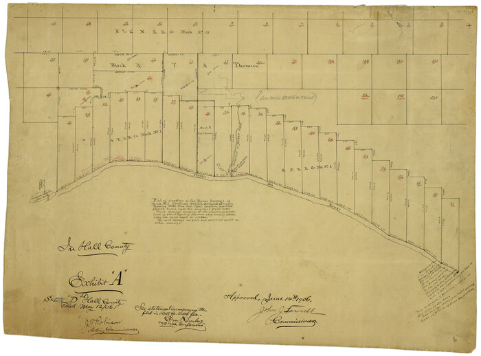

Print $20.00
- Digital $50.00
Hall County Rolled Sketch D
Size 20.0 x 26.4 inches
Map/Doc 6054
Bailey County Rolled Sketch R and C


Print $51.00
- Digital $50.00
Bailey County Rolled Sketch R and C
1913
Size 10.1 x 16.0 inches
Map/Doc 42350
Medina County Working Sketch 8
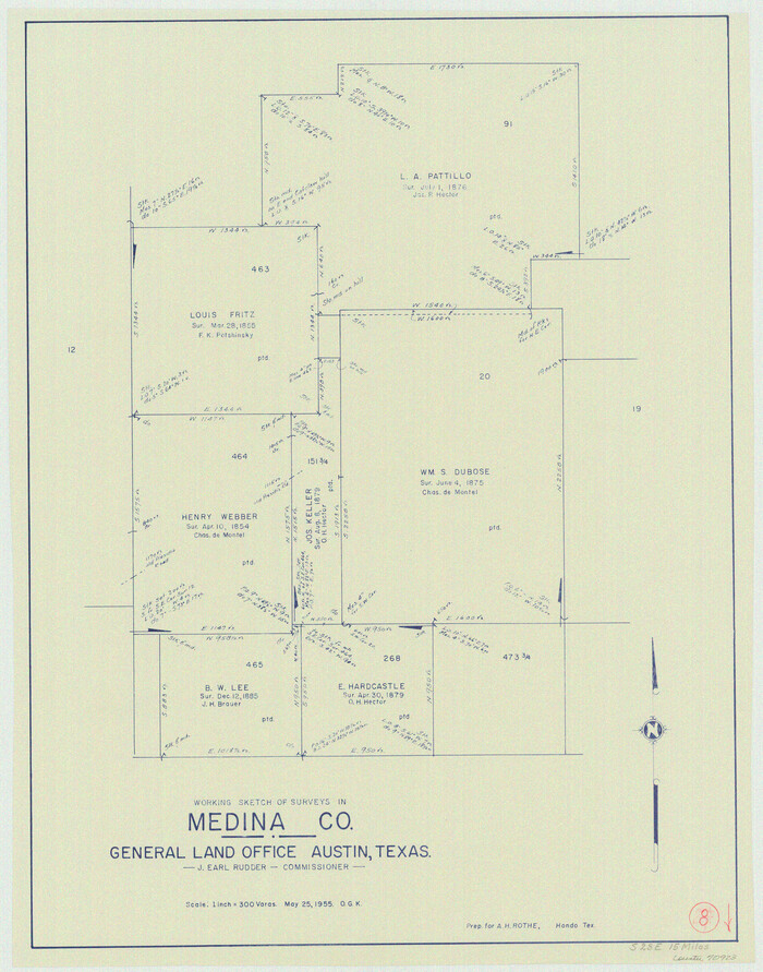

Print $20.00
- Digital $50.00
Medina County Working Sketch 8
1955
Size 23.4 x 18.4 inches
Map/Doc 70923
![83517, [Bastrop District], General Map Collection](https://historictexasmaps.com/wmedia_w1800h1800/maps/83517-1.tif.jpg)

