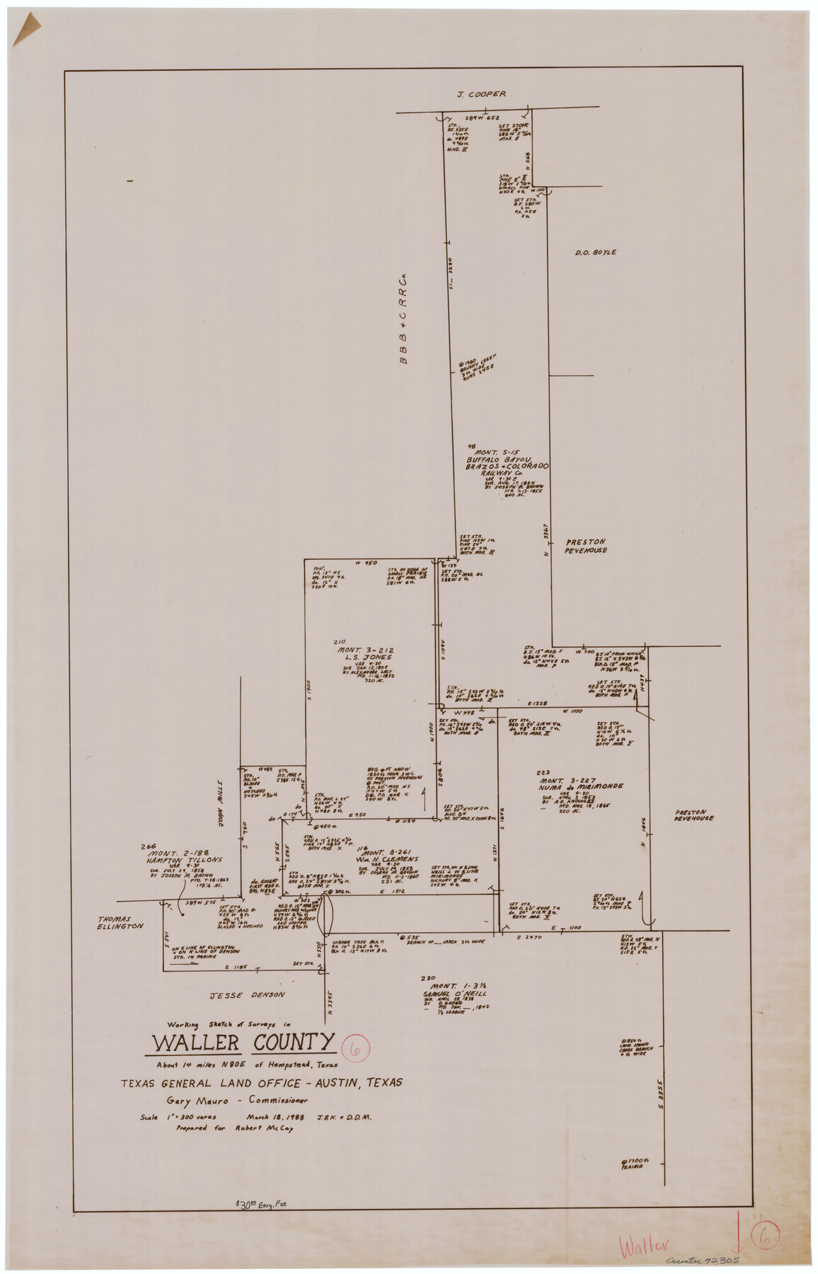
Waller County Working Sketch 6
-
Map/Doc
72305
-
Collection
General Map Collection
-
Object Dates
3/18/1988 (Creation Date)
-
People and Organizations
Joan Kilpatrick (Draftsman)
-
Counties
Waller
-
Subjects
Surveying Working Sketch
-
Height x Width
31.1 x 20.0 inches
79.0 x 50.8 cm
-
Scale
1" = 300 varas
Part of: General Map Collection
Jeff Davis County Texas

Print $20.00
- Digital $50.00
Jeff Davis County Texas
Size 15.9 x 21.3 inches
Map/Doc 4573
Trinity County Sketch File 33A

Print $6.00
- Digital $50.00
Trinity County Sketch File 33A
1920
Size 6.5 x 6.8 inches
Map/Doc 38575
Presidio County Sketch File 111

Print $4.00
- Digital $50.00
Presidio County Sketch File 111
1885
Size 14.3 x 9.1 inches
Map/Doc 34824
Gray County Boundary File 1

Print $10.00
- Digital $50.00
Gray County Boundary File 1
Size 11.4 x 8.8 inches
Map/Doc 53845
Val Verde County Working Sketch 99

Print $20.00
- Digital $50.00
Val Verde County Working Sketch 99
1981
Size 17.2 x 22.6 inches
Map/Doc 72234
Culberson County Working Sketch 88

Print $20.00
- Digital $50.00
Culberson County Working Sketch 88
1983
Size 32.8 x 37.1 inches
Map/Doc 68542
Flight Mission No. BQR-9K, Frame 5, Brazoria County

Print $20.00
- Digital $50.00
Flight Mission No. BQR-9K, Frame 5, Brazoria County
1952
Size 18.7 x 22.3 inches
Map/Doc 84034
Galveston County Working Sketch 19

Print $20.00
- Digital $50.00
Galveston County Working Sketch 19
1983
Size 28.7 x 38.6 inches
Map/Doc 69356
Calhoun County Rolled Sketch 22

Print $20.00
- Digital $50.00
Calhoun County Rolled Sketch 22
Size 35.0 x 37.0 inches
Map/Doc 8552
Cass County Rolled Sketch ESR2

Print $20.00
- Digital $50.00
Cass County Rolled Sketch ESR2
1936
Size 43.8 x 40.1 inches
Map/Doc 8587
Revolutionary Map of Texas, 1836

Print $27.06
Revolutionary Map of Texas, 1836
1986
Size 32.7 x 26.7 inches
Map/Doc 89022
Crockett County Working Sketch 14

Print $3.00
- Digital $50.00
Crockett County Working Sketch 14
1916
Size 12.1 x 9.1 inches
Map/Doc 68347
You may also like
General Highway Map, Concho County, Texas

Print $20.00
General Highway Map, Concho County, Texas
1961
Size 24.6 x 18.3 inches
Map/Doc 79420
Flight Mission No. DIX-10P, Frame 80, Aransas County

Print $20.00
- Digital $50.00
Flight Mission No. DIX-10P, Frame 80, Aransas County
1956
Size 18.8 x 22.4 inches
Map/Doc 83941
Parker County Sketch File 3

Print $4.00
- Digital $50.00
Parker County Sketch File 3
1856
Size 12.2 x 7.9 inches
Map/Doc 33521
Harris County Rolled Sketch GC

Print $40.00
- Digital $50.00
Harris County Rolled Sketch GC
1917
Size 42.1 x 52.4 inches
Map/Doc 9115
![90260, [League 271], Twichell Survey Records](https://historictexasmaps.com/wmedia_w700/maps/90260-1.tif.jpg)
Shelby County Sketch File 16 1/2

Print $4.00
- Digital $50.00
Shelby County Sketch File 16 1/2
Size 7.6 x 5.3 inches
Map/Doc 36629
Lands of the Eastern Mediterranean

Lands of the Eastern Mediterranean
1959
Size 25.5 x 19.5 inches
Map/Doc 92383
Kimble County Sketch File 18

Print $22.00
- Digital $50.00
Kimble County Sketch File 18
1890
Size 8.8 x 14.2 inches
Map/Doc 28953
Terrell County Working Sketch 18a

Print $40.00
- Digital $50.00
Terrell County Working Sketch 18a
1931
Size 48.9 x 34.6 inches
Map/Doc 62168
United States - Gulf Coast Texas - Southern part of Laguna Madre

Print $20.00
- Digital $50.00
United States - Gulf Coast Texas - Southern part of Laguna Madre
1933
Size 26.6 x 18.3 inches
Map/Doc 72951
Somervell County Sketch File 3

Print $6.00
- Digital $50.00
Somervell County Sketch File 3
1858
Size 8.2 x 3.9 inches
Map/Doc 36797
Winkler County Working Sketch 5

Print $40.00
- Digital $50.00
Winkler County Working Sketch 5
1957
Size 31.1 x 131.9 inches
Map/Doc 72599