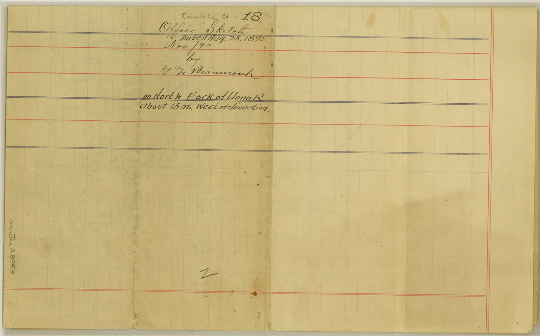
Kimble County Sketch File 18
[Sketch on north fork of Llano River, west of Junction]
-
Map/Doc
28953
-
Collection
General Map Collection
-
Object Dates
8/28/1890 (Creation Date)
11/1890 (File Date)
-
People and Organizations
G.N. Beaumont (Surveyor/Engineer)
-
Counties
Kimble
-
Subjects
Surveying Sketch File
-
Height x Width
8.8 x 14.2 inches
22.4 x 36.1 cm
-
Medium
paper, manuscript
-
Features
[Llano River]
Part of: General Map Collection
Webb County Working Sketch 91

Print $40.00
- Digital $50.00
Webb County Working Sketch 91
1982
Size 37.1 x 49.7 inches
Map/Doc 72458
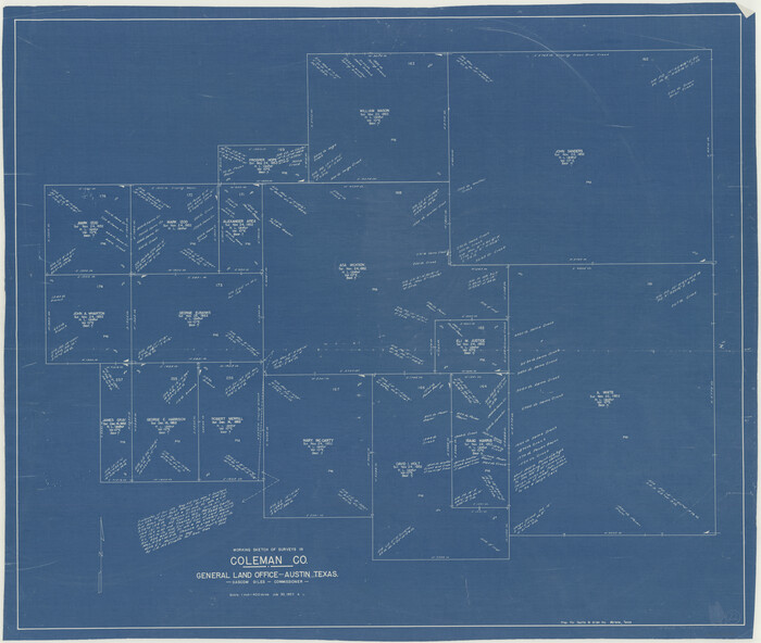
Coleman County Working Sketch 22
Print $20.00
- Digital $50.00
Coleman County Working Sketch 22
1953
Size 34.6 x 41.0 inches
Map/Doc 68088
Map of Clay County, Cooke Land District, formely(sic.) Fannin Land District

Print $20.00
- Digital $50.00
Map of Clay County, Cooke Land District, formely(sic.) Fannin Land District
1859
Size 30.2 x 19.0 inches
Map/Doc 1049
Aransas Pass to Baffin Bay

Print $20.00
- Digital $50.00
Aransas Pass to Baffin Bay
1961
Size 42.1 x 35.4 inches
Map/Doc 73414
Panola County Rolled Sketch 5

Print $40.00
- Digital $50.00
Panola County Rolled Sketch 5
Size 81.0 x 33.1 inches
Map/Doc 9678
Lampasas County Boundary File 16a

Print $28.00
- Digital $50.00
Lampasas County Boundary File 16a
Size 13.9 x 8.4 inches
Map/Doc 56223
Aransas County Sketch File 10

Print $4.00
- Digital $50.00
Aransas County Sketch File 10
1871
Size 7.3 x 9.4 inches
Map/Doc 13116
Chart of the West Indies and Spanish Dominions in North America

Print $20.00
- Digital $50.00
Chart of the West Indies and Spanish Dominions in North America
1803
Size 25.5 x 38.9 inches
Map/Doc 97139
Falls County Sketch File 28

Print $2.00
- Digital $50.00
Falls County Sketch File 28
Size 7.7 x 10.3 inches
Map/Doc 22438
Hamilton County Working Sketch 5

Print $20.00
- Digital $50.00
Hamilton County Working Sketch 5
1941
Size 25.5 x 20.1 inches
Map/Doc 63343
Chambers County Rolled Sketch 30

Print $20.00
- Digital $50.00
Chambers County Rolled Sketch 30
1952
Size 26.7 x 37.9 inches
Map/Doc 5430
Grimes County Working Sketch Graphic Index

Print $40.00
- Digital $50.00
Grimes County Working Sketch Graphic Index
1922
Size 54.9 x 29.4 inches
Map/Doc 76560
You may also like
Flight Mission No. 29300074, Harris County

Print $20.00
- Digital $50.00
Flight Mission No. 29300074, Harris County
1985
Size 10.4 x 10.4 inches
Map/Doc 85286
Morris County Rolled Sketch 2A

Print $20.00
- Digital $50.00
Morris County Rolled Sketch 2A
Size 24.3 x 19.1 inches
Map/Doc 10250
Harrison County Sketch File 19

Print $20.00
- Digital $50.00
Harrison County Sketch File 19
1954
Size 25.0 x 21.7 inches
Map/Doc 11692
Nueces County Sketch File 65

Print $18.00
- Digital $50.00
Nueces County Sketch File 65
1981
Size 11.2 x 8.6 inches
Map/Doc 32980
Map of Live Oak County, Texas

Print $20.00
- Digital $50.00
Map of Live Oak County, Texas
1911
Size 28.0 x 20.4 inches
Map/Doc 567
Lampasas County Sketch File 20

Print $4.00
- Digital $50.00
Lampasas County Sketch File 20
Size 7.4 x 8.7 inches
Map/Doc 29434
Lyons Subdivision North Part Block 79

Print $20.00
- Digital $50.00
Lyons Subdivision North Part Block 79
Size 19.6 x 24.5 inches
Map/Doc 92795
Hidalgo County Rolled Sketch 14

Print $40.00
- Digital $50.00
Hidalgo County Rolled Sketch 14
1963
Size 68.5 x 40.7 inches
Map/Doc 9169
Flight Mission No. DCL-7C, Frame 59, Kenedy County

Print $20.00
- Digital $50.00
Flight Mission No. DCL-7C, Frame 59, Kenedy County
1943
Size 15.4 x 15.2 inches
Map/Doc 86047
Coryell County Milam District

Print $20.00
- Digital $50.00
Coryell County Milam District
1883
Size 25.7 x 24.6 inches
Map/Doc 3446
Brazoria County Working Sketch 22

Print $20.00
- Digital $50.00
Brazoria County Working Sketch 22
1959
Size 27.0 x 25.3 inches
Map/Doc 67507
Denton County Working Sketch 26

Print $20.00
- Digital $50.00
Denton County Working Sketch 26
1995
Size 29.3 x 33.9 inches
Map/Doc 68631