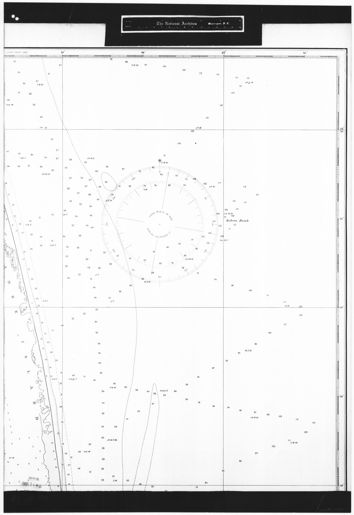
United States - Gulf Coast Texas - Southern part of Laguna Madre
RL-4-3a
-
Map/Doc
72951
-
Collection
General Map Collection
-
Object Dates
1933 (Creation Date)
-
People and Organizations
U. S. Coast and Geodetic Survey (Publisher)
U. S. Coast and Geodetic Survey (Author)
U. S. Engineers (Surveyor/Engineer)
-
Subjects
Nautical Charts
-
Height x Width
26.6 x 18.3 inches
67.6 x 46.5 cm
-
Comments
B/W photostat copy from National Archives in multiple pieces.
Part of: General Map Collection
Dallas County Working Sketch 14

Print $20.00
- Digital $50.00
Dallas County Working Sketch 14
1987
Size 31.2 x 21.7 inches
Map/Doc 68580
Baylor County Sketch File 25

Print $46.00
- Digital $50.00
Baylor County Sketch File 25
1954
Size 11.5 x 9.0 inches
Map/Doc 14212

Bailey County Sketch File 6

Print $40.00
- Digital $50.00
Bailey County Sketch File 6
Size 26.5 x 31.9 inches
Map/Doc 10884
Kinney County Rolled Sketch 1

Print $20.00
- Digital $50.00
Kinney County Rolled Sketch 1
Size 25.1 x 36.1 inches
Map/Doc 6533
Map of Maverick County

Print $20.00
- Digital $50.00
Map of Maverick County
1874
Size 31.5 x 20.9 inches
Map/Doc 3848
Flight Mission No. DQO-1K, Frame 151, Galveston County

Print $20.00
- Digital $50.00
Flight Mission No. DQO-1K, Frame 151, Galveston County
1952
Size 18.8 x 22.5 inches
Map/Doc 85004
Brazoria County NRC Article 33.136 Sketch 30

Print $24.00
Brazoria County NRC Article 33.136 Sketch 30
2025
Map/Doc 97475
Atascosa County Sketch File 14

Print $40.00
- Digital $50.00
Atascosa County Sketch File 14
1870
Size 12.5 x 15.0 inches
Map/Doc 13773
Kimble County Rolled Sketch 19

Print $20.00
- Digital $50.00
Kimble County Rolled Sketch 19
Size 38.8 x 33.6 inches
Map/Doc 9339
San Jacinto County Working Sketch 24

Print $20.00
- Digital $50.00
San Jacinto County Working Sketch 24
1942
Size 23.1 x 38.2 inches
Map/Doc 63737
Dawson County Working Sketch 3

Print $20.00
- Digital $50.00
Dawson County Working Sketch 3
1920
Size 16.1 x 14.8 inches
Map/Doc 68547
You may also like
State of Texas

Print $40.00
- Digital $50.00
State of Texas
1965
Size 42.8 x 52.5 inches
Map/Doc 2095

General Highway Map, Scurry County, Texas

Print $20.00
General Highway Map, Scurry County, Texas
1940
Size 18.4 x 24.8 inches
Map/Doc 79240
Mapa del Presidio de San Antonio de Bexar, i sus Misiones de la Provinsia de Texas

Print $20.00
Mapa del Presidio de San Antonio de Bexar, i sus Misiones de la Provinsia de Texas
1764
Size 14.5 x 18.4 inches
Map/Doc 94455
Map of Mason County, Texas

Print $20.00
- Digital $50.00
Map of Mason County, Texas
Size 26.0 x 19.2 inches
Map/Doc 404
Morris County Rolled Sketch 2A

Print $20.00
- Digital $50.00
Morris County Rolled Sketch 2A
Size 24.3 x 18.7 inches
Map/Doc 10675
Marion County Working Sketch 23

Print $4.00
- Digital $50.00
Marion County Working Sketch 23
1960
Size 24.4 x 25.9 inches
Map/Doc 70799
[Sketch of Surveys south of League 153]
![90437, [Sketch of Surveys south of League 153], Twichell Survey Records](https://historictexasmaps.com/wmedia_w700/maps/90437-1.tif.jpg)
Print $2.00
- Digital $50.00
[Sketch of Surveys south of League 153]
Size 9.5 x 5.9 inches
Map/Doc 90437
Chambers County Sketch File 15

Print $4.00
- Digital $50.00
Chambers County Sketch File 15
Size 8.3 x 12.4 inches
Map/Doc 17563
Gaines County Working Sketch 14

Print $40.00
- Digital $50.00
Gaines County Working Sketch 14
1957
Size 62.3 x 31.7 inches
Map/Doc 69314
Flight Mission No. CLL-1N, Frame 10, Willacy County

Print $20.00
- Digital $50.00
Flight Mission No. CLL-1N, Frame 10, Willacy County
1954
Size 18.5 x 22.1 inches
Map/Doc 86997
Harrison County Rolled Sketch 8

Print $33.00
- Digital $50.00
Harrison County Rolled Sketch 8
Size 10.1 x 15.2 inches
Map/Doc 45825