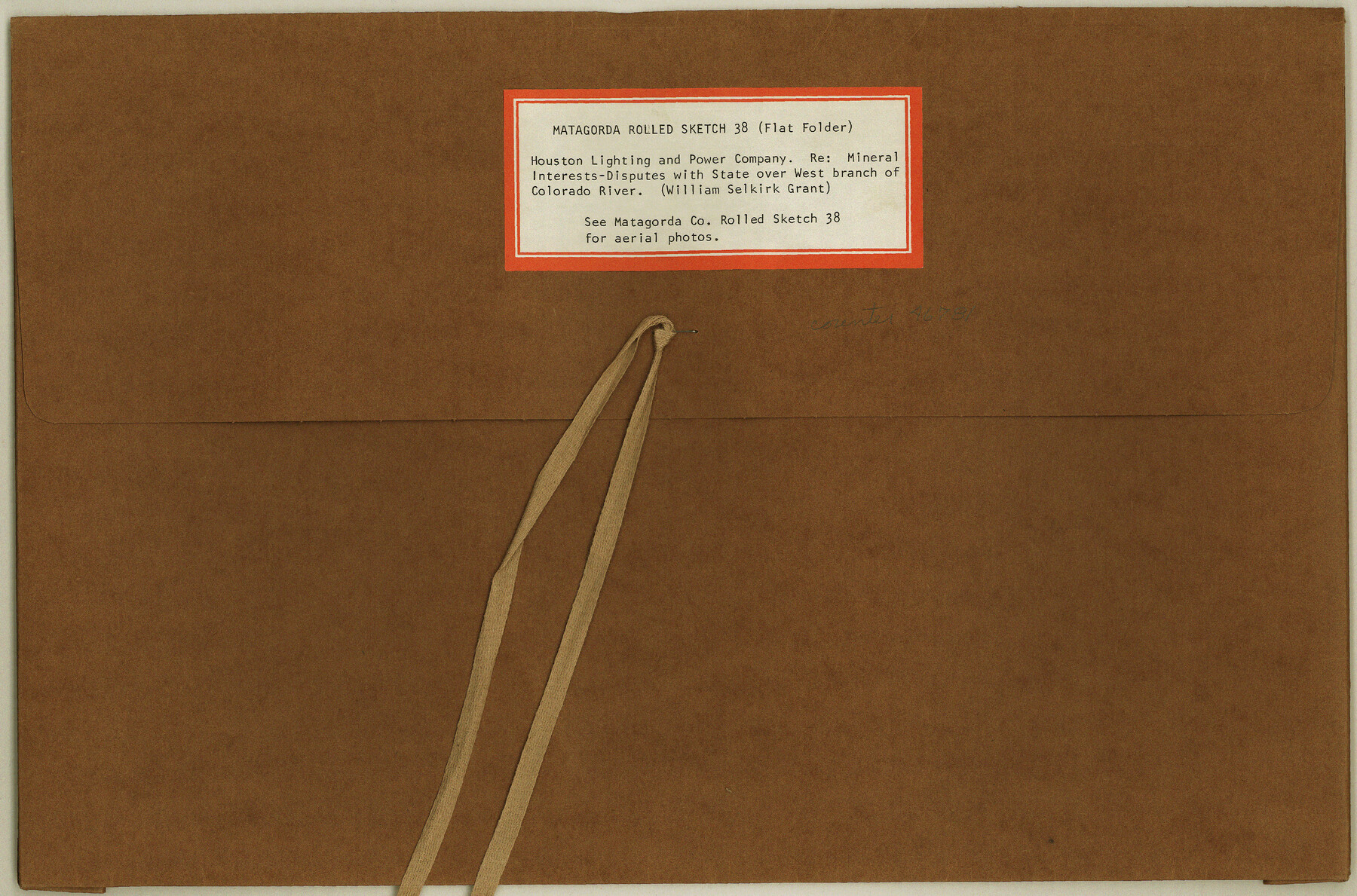
Matagorda County Rolled Sketch 38
[Houston Lighting and Power Company relating to mineral interests and disputes with the State over west branch of Colorado River in the William Selkirk grant]
-
Map/Doc
6697
-
Collection
General Map Collection
-
Object Dates
1984/1/4 (Creation Date)
1985/4/12 (File Date)
-
Counties
Matagorda
-
Subjects
Aerial Photograph Surveying Rolled Sketch
-
Height x Width
23.2 x 23.2 inches
58.9 x 58.9 cm
-
Medium
multi-page, multi-format
Part of: General Map Collection
Runnels County

Print $20.00
- Digital $50.00
Runnels County
1879
Size 22.1 x 19.2 inches
Map/Doc 3999
Jefferson County Rolled Sketch 49

Print $40.00
- Digital $50.00
Jefferson County Rolled Sketch 49
1963
Size 30.6 x 57.5 inches
Map/Doc 46415
Llano County Working Sketch 7

Print $20.00
- Digital $50.00
Llano County Working Sketch 7
1968
Size 30.9 x 30.3 inches
Map/Doc 70625
Texas and part of Mexico & the United States, showing the route of the first Santa Fe Expedition

Print $20.00
- Digital $50.00
Texas and part of Mexico & the United States, showing the route of the first Santa Fe Expedition
1844
Size 18.1 x 13.2 inches
Map/Doc 94035

Gregg County Boundary File 6a

Print $46.00
- Digital $50.00
Gregg County Boundary File 6a
Size 12.7 x 8.2 inches
Map/Doc 54004
Bosque County Sketch File 21

Print $12.00
- Digital $50.00
Bosque County Sketch File 21
1863
Size 10.9 x 8.7 inches
Map/Doc 14798
Coke County Rolled Sketch 19A

Print $20.00
- Digital $50.00
Coke County Rolled Sketch 19A
1954
Size 19.9 x 24.8 inches
Map/Doc 5520
Randall County Rolled Sketch 6

Print $20.00
- Digital $50.00
Randall County Rolled Sketch 6
Size 25.0 x 23.9 inches
Map/Doc 7426
Marion County Rolled Sketch 9A

Print $20.00
- Digital $50.00
Marion County Rolled Sketch 9A
2001
Size 22.9 x 22.9 inches
Map/Doc 76419
Bee County Working Sketch 25

Print $20.00
- Digital $50.00
Bee County Working Sketch 25
1987
Size 38.8 x 26.0 inches
Map/Doc 67275
Map of Oceanica engraved to illustrate Mitchell's new intermediate geography

Print $20.00
- Digital $50.00
Map of Oceanica engraved to illustrate Mitchell's new intermediate geography
1885
Size 9.0 x 12.2 inches
Map/Doc 93531
You may also like
Andrews County Rolled Sketch 30

Print $20.00
- Digital $50.00
Andrews County Rolled Sketch 30
Size 20.6 x 18.1 inches
Map/Doc 77174
[Plat showing Blocks Z, Q and D]
![90289, [Plat showing Blocks Z, Q and D], Twichell Survey Records](https://historictexasmaps.com/wmedia_w700/maps/90289-1.tif.jpg)
Print $20.00
- Digital $50.00
[Plat showing Blocks Z, Q and D]
Size 15.9 x 21.2 inches
Map/Doc 90289
Runnels County Rolled Sketch 43

Print $20.00
- Digital $50.00
Runnels County Rolled Sketch 43
Size 28.3 x 45.8 inches
Map/Doc 7531
Flight Mission No. CON-4R, Frame 88, Stonewall County

Print $20.00
- Digital $50.00
Flight Mission No. CON-4R, Frame 88, Stonewall County
1957
Size 18.2 x 22.0 inches
Map/Doc 86992
Cochran County

Print $20.00
- Digital $50.00
Cochran County
1946
Size 33.2 x 25.0 inches
Map/Doc 1801
Medina County Sketch File 14

Print $24.00
- Digital $50.00
Medina County Sketch File 14
1914
Size 10.6 x 7.0 inches
Map/Doc 31471
Sutton County Working Sketch 43

Print $20.00
- Digital $50.00
Sutton County Working Sketch 43
1951
Size 23.1 x 22.1 inches
Map/Doc 62386
Fannin County Boundary File 1a

Print $40.00
- Digital $50.00
Fannin County Boundary File 1a
1882
Size 36.5 x 9.5 inches
Map/Doc 53279
Lgs. 276 thru 280-289, 333, 336, 345, 355 thru 357, 367, Blk. K11

Print $20.00
- Digital $50.00
Lgs. 276 thru 280-289, 333, 336, 345, 355 thru 357, 367, Blk. K11
Size 28.0 x 12.3 inches
Map/Doc 91429
Roberts County Rolled Sketch 3

Print $40.00
- Digital $50.00
Roberts County Rolled Sketch 3
Size 37.7 x 48.9 inches
Map/Doc 8359
Throckmorton County Rolled Sketch 3

Print $20.00
- Digital $50.00
Throckmorton County Rolled Sketch 3
1987
Size 31.2 x 36.3 inches
Map/Doc 7986
Loving County State of Texas

Print $20.00
- Digital $50.00
Loving County State of Texas
1889
Size 20.5 x 24.5 inches
Map/Doc 4581