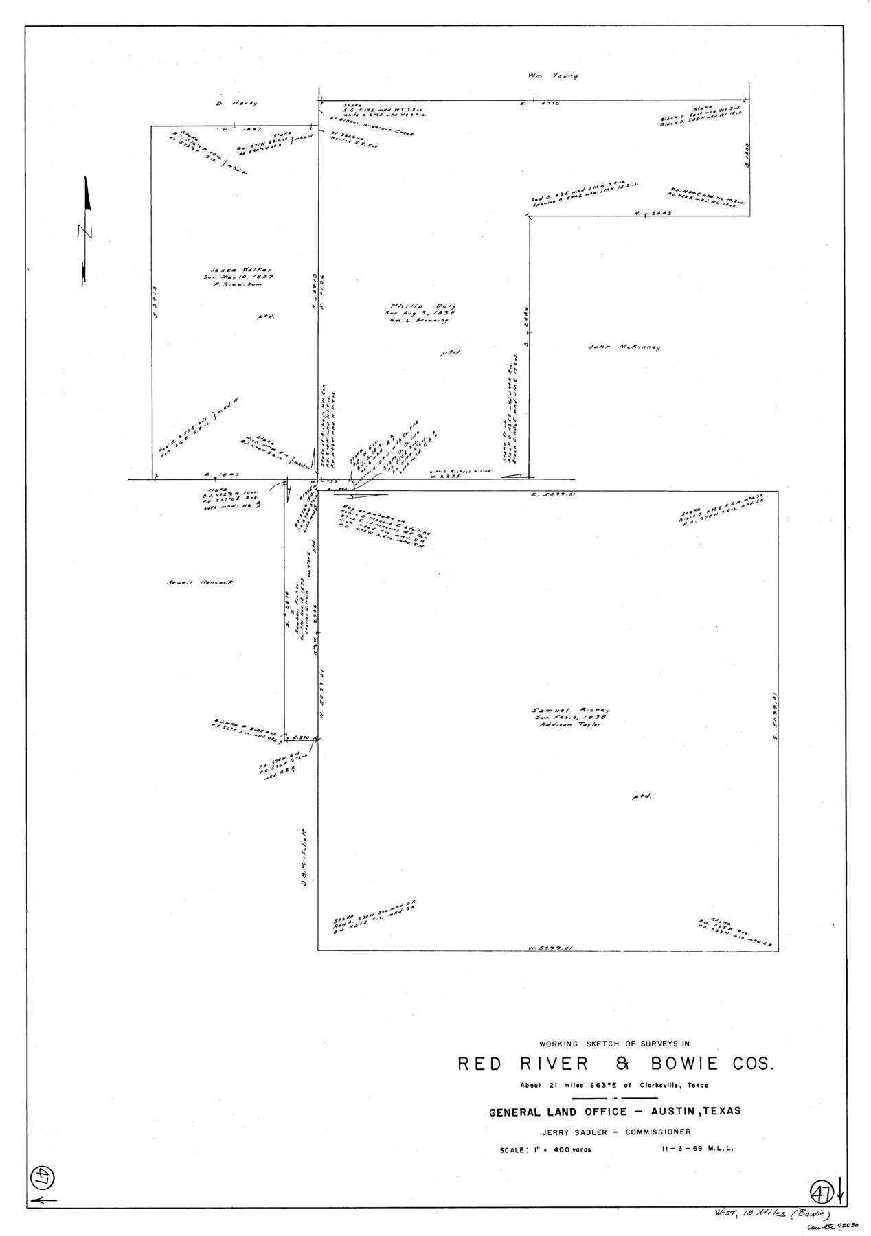
Red River County Working Sketch 47
-
Map/Doc
72030
-
Collection
General Map Collection
-
Object Dates
11/3/1969 (Creation Date)
-
People and Organizations
M. L. Liles (Draftsman)
-
Counties
Red River Bowie
-
Subjects
Surveying Working Sketch
-
Height x Width
34.3 x 24.2 inches
87.1 x 61.5 cm
-
Scale
1" = 400 varas
Part of: General Map Collection
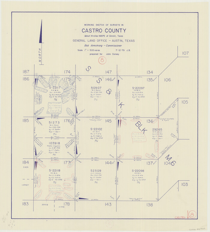
Castro County Working Sketch 8
Print $20.00
- Digital $50.00
Castro County Working Sketch 8
1979
Size 21.2 x 19.3 inches
Map/Doc 67903
San Antonio Bay and Vicinity in Aransas and Calhoun Counties, showing Subdivsion for Mineral Development

Print $40.00
- Digital $50.00
San Antonio Bay and Vicinity in Aransas and Calhoun Counties, showing Subdivsion for Mineral Development
1948
Size 37.0 x 74.5 inches
Map/Doc 1912
Bandera County Boundary File 1

Print $20.00
- Digital $50.00
Bandera County Boundary File 1
Size 7.7 x 26.8 inches
Map/Doc 50263
Crockett County Sketch File 24

Print $10.00
- Digital $50.00
Crockett County Sketch File 24
1881
Size 13.1 x 8.6 inches
Map/Doc 19698
Trinity River, South Extension Porters Bluff Sheet

Print $20.00
- Digital $50.00
Trinity River, South Extension Porters Bluff Sheet
1925
Size 16.3 x 24.4 inches
Map/Doc 69690
Houston Ship Channel

Print $20.00
- Digital $50.00
Houston Ship Channel
1926
Size 32.9 x 38.3 inches
Map/Doc 69893
Winkler County Working Sketch 8

Print $20.00
- Digital $50.00
Winkler County Working Sketch 8
1958
Size 31.9 x 30.7 inches
Map/Doc 72602
[Sketch for M-12871 to M-13240 - Presidio County]
![65650, [Sketch for M-12871 to M-13240 - Presidio County], General Map Collection](https://historictexasmaps.com/wmedia_w700/maps/65650.tif.jpg)
Print $20.00
- Digital $50.00
[Sketch for M-12871 to M-13240 - Presidio County]
1927
Size 30.6 x 33.0 inches
Map/Doc 65650
Fort Bend County Sketch File 8

Print $6.00
- Digital $50.00
Fort Bend County Sketch File 8
Size 6.3 x 4.2 inches
Map/Doc 22894
Gonzales County Working Sketch 3

Print $20.00
- Digital $50.00
Gonzales County Working Sketch 3
1943
Size 37.8 x 41.5 inches
Map/Doc 63218
[Sketch for Mineral Application 24072, San Jacinto River]
![65604, [Sketch for Mineral Application 24072, San Jacinto River], General Map Collection](https://historictexasmaps.com/wmedia_w700/maps/65604.tif.jpg)
Print $20.00
- Digital $50.00
[Sketch for Mineral Application 24072, San Jacinto River]
1929
Size 23.3 x 17.5 inches
Map/Doc 65604
Travis County Appraisal District Plat Map 2_2814

Print $20.00
- Digital $50.00
Travis County Appraisal District Plat Map 2_2814
Size 21.6 x 26.4 inches
Map/Doc 94218
You may also like
Matagorda County Sketch File 42

Print $38.00
- Digital $50.00
Matagorda County Sketch File 42
1912
Size 14.2 x 8.8 inches
Map/Doc 30834
Bandera County Rolled Sketch 7

Print $20.00
- Digital $50.00
Bandera County Rolled Sketch 7
Size 42.7 x 29.0 inches
Map/Doc 5118
Presidio County Rolled Sketch 1

Print $20.00
- Digital $50.00
Presidio County Rolled Sketch 1
Size 24.5 x 15.7 inches
Map/Doc 7325
Flight Mission No. DIX-6P, Frame 194, Aransas County

Print $20.00
- Digital $50.00
Flight Mission No. DIX-6P, Frame 194, Aransas County
1956
Size 19.2 x 22.7 inches
Map/Doc 83856
The United States of Mexico

Print $20.00
- Digital $50.00
The United States of Mexico
1832
Size 15.4 x 12.8 inches
Map/Doc 93952
Oldham County Sketch File 9a

Print $4.00
- Digital $50.00
Oldham County Sketch File 9a
1886
Size 14.2 x 8.7 inches
Map/Doc 33241
McLennan County Sketch File 11

Print $8.00
- Digital $50.00
McLennan County Sketch File 11
1860
Size 9.0 x 7.7 inches
Map/Doc 31262
Sabine River, Toll Bridge Sheet

Print $40.00
- Digital $50.00
Sabine River, Toll Bridge Sheet
1933
Size 27.8 x 51.9 inches
Map/Doc 65136
Van Zandt County Sketch File 19

Print $4.00
- Digital $50.00
Van Zandt County Sketch File 19
1858
Size 9.7 x 7.7 inches
Map/Doc 39422
Jeff Davis County Sketch File 18a

Print $14.00
- Digital $50.00
Jeff Davis County Sketch File 18a
Size 9.3 x 6.0 inches
Map/Doc 27966
Wichita County Boundary File 2b

Print $4.00
- Digital $50.00
Wichita County Boundary File 2b
Size 8.9 x 8.8 inches
Map/Doc 59911
Marion County Working Sketch 33

Print $20.00
- Digital $50.00
Marion County Working Sketch 33
1983
Size 16.0 x 20.7 inches
Map/Doc 70809