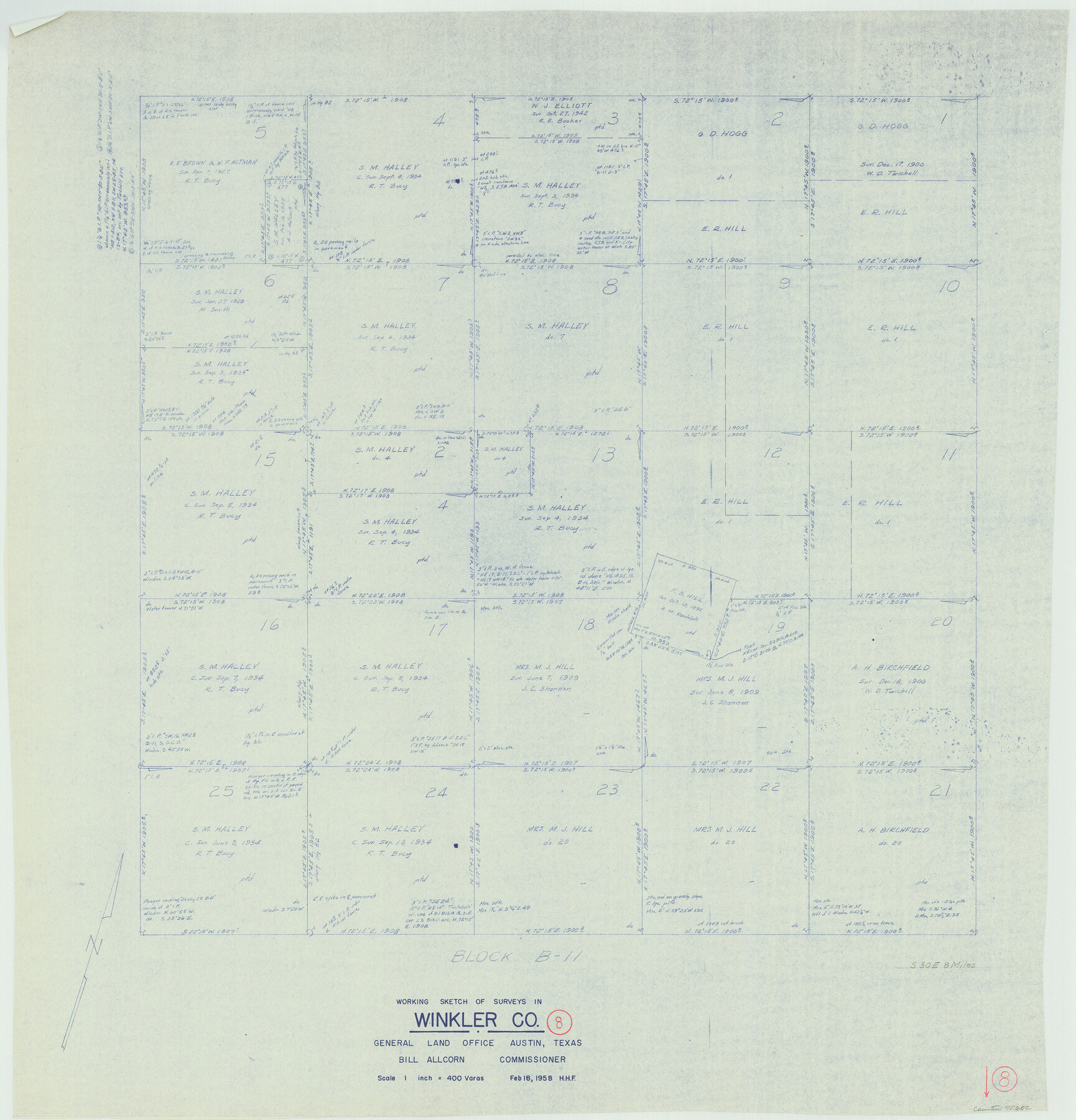
Winkler County Working Sketch 8
-
Map/Doc
72602
-
Collection
General Map Collection
-
Object Dates
2/18/1958 (Creation Date)
-
People and Organizations
Herman H. Forbes (Draftsman)
-
Counties
Winkler
-
Subjects
Surveying Working Sketch
-
Height x Width
31.9 x 30.7 inches
81.0 x 78.0 cm
-
Scale
1" = 400 varas
Part of: General Map Collection
Dickens County Sketch File 19

Print $4.00
- Digital $50.00
Dickens County Sketch File 19
1910
Size 8.4 x 7.5 inches
Map/Doc 20982
Galveston County Sketch File 21

Print $4.00
- Digital $50.00
Galveston County Sketch File 21
1838
Size 13.3 x 8.3 inches
Map/Doc 23392
Culberson County Working Sketch 13

Print $20.00
- Digital $50.00
Culberson County Working Sketch 13
1922
Size 25.7 x 21.3 inches
Map/Doc 68465
Flight Mission No. DAG-24K, Frame 154, Matagorda County

Print $20.00
- Digital $50.00
Flight Mission No. DAG-24K, Frame 154, Matagorda County
1953
Size 18.5 x 22.2 inches
Map/Doc 86568
Parker County Working Sketch 21

Print $20.00
- Digital $50.00
Parker County Working Sketch 21
2006
Map/Doc 83655
Walker County Miscellaneous Sketch 1

Print $20.00
- Digital $50.00
Walker County Miscellaneous Sketch 1
2003
Size 36.0 x 31.3 inches
Map/Doc 88868
Dimmit County Sketch File 19 1/2

Print $40.00
- Digital $50.00
Dimmit County Sketch File 19 1/2
Size 16.6 x 13.9 inches
Map/Doc 21092
Eastland County Sketch File 9

Print $4.00
- Digital $50.00
Eastland County Sketch File 9
Size 10.5 x 8.2 inches
Map/Doc 21580
Schleicher County Sketch File 43

Print $6.00
- Digital $50.00
Schleicher County Sketch File 43
1965
Size 17.0 x 11.0 inches
Map/Doc 36548
Gulf Oil Corp. Fishgide - Freeport

Gulf Oil Corp. Fishgide - Freeport
1960
Size 12.1 x 22.1 inches
Map/Doc 75979
Concho County Sketch File 7

Print $6.00
- Digital $50.00
Concho County Sketch File 7
1857
Size 16.4 x 11.5 inches
Map/Doc 19129
Freestone County Boundary File 30d

Print $20.00
- Digital $50.00
Freestone County Boundary File 30d
Size 8.0 x 29.6 inches
Map/Doc 53608
You may also like
Hudspeth County Working Sketch 44

Print $20.00
- Digital $50.00
Hudspeth County Working Sketch 44
1982
Size 25.5 x 22.2 inches
Map/Doc 66329
Map of Caldwell County

Print $20.00
- Digital $50.00
Map of Caldwell County
1871
Size 17.2 x 19.8 inches
Map/Doc 3357
Kerr County Rolled Sketch 23

Print $20.00
- Digital $50.00
Kerr County Rolled Sketch 23
1966
Size 39.3 x 27.5 inches
Map/Doc 6503
Johnson County Sketch File 3

Print $4.00
- Digital $50.00
Johnson County Sketch File 3
Size 10.1 x 8.0 inches
Map/Doc 28433
Blanco County Working Sketch 27

Print $20.00
- Digital $50.00
Blanco County Working Sketch 27
1969
Size 31.9 x 31.8 inches
Map/Doc 67387
Map of Pecos County

Print $40.00
- Digital $50.00
Map of Pecos County
1895
Size 58.1 x 63.4 inches
Map/Doc 16788
Uvalde County Working Sketch 32

Print $20.00
- Digital $50.00
Uvalde County Working Sketch 32
1962
Size 27.2 x 41.8 inches
Map/Doc 72102
Map of Blocks A, B and C in Parmer County, Texas showing a portion of the C. F. L. & I. Co's. XIT Lands

Print $20.00
- Digital $50.00
Map of Blocks A, B and C in Parmer County, Texas showing a portion of the C. F. L. & I. Co's. XIT Lands
1905
Size 24.2 x 29.4 inches
Map/Doc 91611
Kleberg County Aerial Photograph Index Sheet 1

Print $20.00
- Digital $50.00
Kleberg County Aerial Photograph Index Sheet 1
1956
Size 19.6 x 23.6 inches
Map/Doc 83718
Gaines County Working Sketch 37

Print $20.00
- Digital $50.00
Gaines County Working Sketch 37
Size 21.5 x 16.6 inches
Map/Doc 69337
Flight Mission No. BRA-8M, Frame 133, Jefferson County

Print $20.00
- Digital $50.00
Flight Mission No. BRA-8M, Frame 133, Jefferson County
1953
Size 18.7 x 22.3 inches
Map/Doc 85629
America's Fun-Tier: Texas 1965 Official Highway Travel Map

Digital $50.00
America's Fun-Tier: Texas 1965 Official Highway Travel Map
Size 28.2 x 36.4 inches
Map/Doc 94325