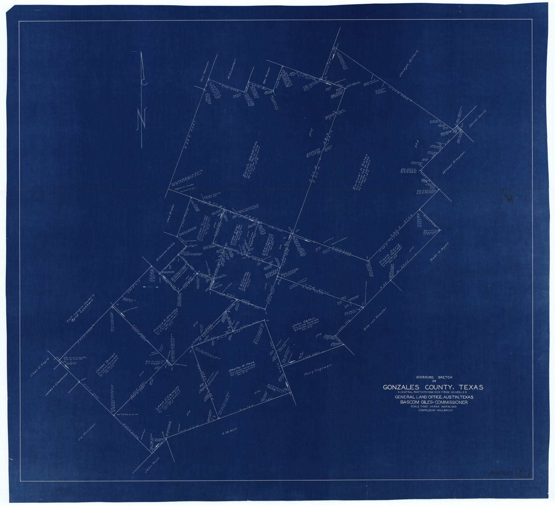
Gonzales County Working Sketch 3
-
Map/Doc
63218
-
Collection
General Map Collection
-
Object Dates
3/19/1943 (Creation Date)
-
People and Organizations
Herbert H. Ulbricht (Draftsman)
-
Counties
Gonzales
-
Subjects
Surveying Working Sketch
-
Height x Width
37.8 x 41.5 inches
96.0 x 105.4 cm
-
Scale
1" = 500 varas
Part of: General Map Collection
Sutton County Sketch File E

Print $30.00
- Digital $50.00
Sutton County Sketch File E
1906
Size 14.2 x 8.8 inches
Map/Doc 37384
Flight Mission No. DCL-7C, Frame 116, Kenedy County

Print $20.00
- Digital $50.00
Flight Mission No. DCL-7C, Frame 116, Kenedy County
1943
Size 18.6 x 22.4 inches
Map/Doc 86081

Zapata County Working Sketch 10

Print $20.00
- Digital $50.00
Zapata County Working Sketch 10
1954
Size 33.9 x 32.2 inches
Map/Doc 62061
Flight Mission No. DAG-18K, Frame 186, Matagorda County

Print $20.00
- Digital $50.00
Flight Mission No. DAG-18K, Frame 186, Matagorda County
1952
Size 17.2 x 22.5 inches
Map/Doc 86378
Crane County State of Texas

Print $20.00
- Digital $50.00
Crane County State of Texas
1889
Size 22.9 x 17.6 inches
Map/Doc 4524
Sketch Showing Surveys Made for W. R. Cartledge

Print $20.00
- Digital $50.00
Sketch Showing Surveys Made for W. R. Cartledge
1945
Size 16.9 x 14.4 inches
Map/Doc 2059
Midland County Rolled Sketch 4A

Print $40.00
- Digital $50.00
Midland County Rolled Sketch 4A
1951
Size 43.0 x 85.3 inches
Map/Doc 61735
Duval County Rolled Sketch 20A

Print $20.00
- Digital $50.00
Duval County Rolled Sketch 20A
Size 34.6 x 43.7 inches
Map/Doc 8816
Tyler County Sketch File 8

Print $4.00
- Digital $50.00
Tyler County Sketch File 8
Size 8.6 x 6.8 inches
Map/Doc 38642
Williamson County

Print $40.00
- Digital $50.00
Williamson County
1946
Size 38.7 x 56.8 inches
Map/Doc 95676
Crockett County Rolled Sketch 26

Print $20.00
- Digital $50.00
Crockett County Rolled Sketch 26
Size 33.7 x 40.9 inches
Map/Doc 5585
You may also like
Flight Mission No. DCL-7C, Frame 124, Kenedy County

Print $20.00
- Digital $50.00
Flight Mission No. DCL-7C, Frame 124, Kenedy County
1943
Size 18.6 x 22.2 inches
Map/Doc 86089
Hudspeth County Sketch File 34

Print $12.00
- Digital $50.00
Hudspeth County Sketch File 34
1944
Size 11.2 x 8.8 inches
Map/Doc 26997
Packery Channel

Print $20.00
- Digital $50.00
Packery Channel
1950
Size 17.6 x 17.5 inches
Map/Doc 2997
Hudspeth County Working Sketch 59

Print $20.00
- Digital $50.00
Hudspeth County Working Sketch 59
1992
Size 24.3 x 33.4 inches
Map/Doc 66344
General Highway Map, Hale County, Texas

Print $20.00
General Highway Map, Hale County, Texas
1961
Size 24.7 x 18.2 inches
Map/Doc 79493
[Map of Santa Fe Route - Atchison, Topeka, and Santa Fe Railroad]
![95866, [Map of Santa Fe Route - Atchison, Topeka, and Santa Fe Railroad], Cobb Digital Map Collection - 1](https://historictexasmaps.com/wmedia_w700/maps/95866.tif.jpg)
Print $40.00
- Digital $50.00
[Map of Santa Fe Route - Atchison, Topeka, and Santa Fe Railroad]
1893
Size 17.4 x 50.0 inches
Map/Doc 95866
City of Lubbock, Lubbock County, Texas

Print $40.00
- Digital $50.00
City of Lubbock, Lubbock County, Texas
1946
Size 54.3 x 39.1 inches
Map/Doc 89902
United States - Gulf Coast - From Latitude 26° 33' to the Rio Grande Texas

Print $20.00
- Digital $50.00
United States - Gulf Coast - From Latitude 26° 33' to the Rio Grande Texas
1919
Size 27.5 x 18.4 inches
Map/Doc 72854
Rail Oddities - Odd and Interesting Facts about the Railroads

Rail Oddities - Odd and Interesting Facts about the Railroads
1954
Size 9.1 x 6.1 inches
Map/Doc 96597
General Highway Map, Bailey County, Texas

Print $20.00
General Highway Map, Bailey County, Texas
1940
Size 25.1 x 18.3 inches
Map/Doc 79010
Colorado County Working Sketch 13

Print $20.00
- Digital $50.00
Colorado County Working Sketch 13
1943
Size 37.9 x 23.3 inches
Map/Doc 68113
Sketch of State University Lands and Connections in El Paso Co.

Print $20.00
- Digital $50.00
Sketch of State University Lands and Connections in El Paso Co.
1900
Size 33.1 x 32.4 inches
Map/Doc 2427