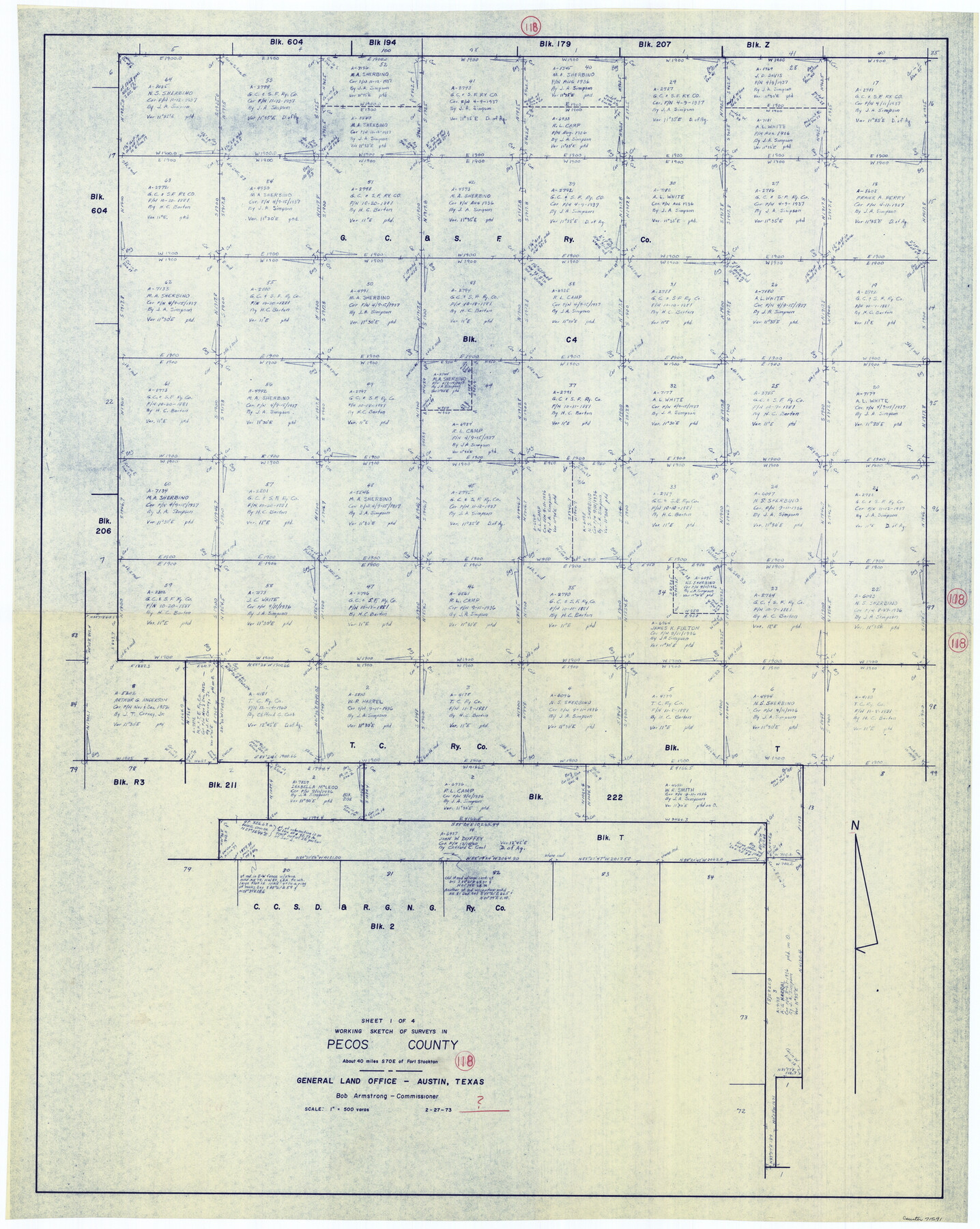
Pecos County Working Sketch 118
-
Map/Doc
71591
-
Collection
General Map Collection
-
Object Dates
2/27/1973 (Creation Date)
-
Counties
Pecos
-
Subjects
Surveying Working Sketch
-
Height x Width
46.2 x 36.9 inches
117.4 x 93.7 cm
-
Scale
1" = 500 varas
Part of: General Map Collection
Wilson County Working Sketch 8

Print $20.00
- Digital $50.00
Wilson County Working Sketch 8
1975
Size 36.5 x 31.9 inches
Map/Doc 72588
Jim Hogg County Rolled Sketch EJF

Print $20.00
- Digital $50.00
Jim Hogg County Rolled Sketch EJF
1937
Size 36.0 x 32.4 inches
Map/Doc 9320
Flight Mission No. DCL-5C, Frame 47, Kenedy County

Print $20.00
- Digital $50.00
Flight Mission No. DCL-5C, Frame 47, Kenedy County
1943
Size 18.6 x 22.3 inches
Map/Doc 85843
Matagorda County NRC Article 33.136 Location Key Sheet

Print $20.00
- Digital $50.00
Matagorda County NRC Article 33.136 Location Key Sheet
1973
Size 27.0 x 23.0 inches
Map/Doc 88832
Fayette County Boundary File 2

Print $53.00
- Digital $50.00
Fayette County Boundary File 2
Size 11.2 x 9.0 inches
Map/Doc 53331
Galveston County Sketch File 5a

Print $4.00
- Digital $50.00
Galveston County Sketch File 5a
1847
Size 12.6 x 8.2 inches
Map/Doc 23360
Dimmit County Rolled Sketch 14

Print $40.00
- Digital $50.00
Dimmit County Rolled Sketch 14
1945
Size 56.6 x 36.0 inches
Map/Doc 8797
Maps of Gulf Intracoastal Waterway, Texas - Sabine River to the Rio Grande and connecting waterways including ship channels

Print $20.00
- Digital $50.00
Maps of Gulf Intracoastal Waterway, Texas - Sabine River to the Rio Grande and connecting waterways including ship channels
1966
Size 15.7 x 22.0 inches
Map/Doc 61983
Eastland County Working Sketch 14

Print $20.00
- Digital $50.00
Eastland County Working Sketch 14
1919
Size 18.2 x 17.1 inches
Map/Doc 68795
Nueces County Rolled Sketch 41

Print $40.00
- Digital $50.00
Nueces County Rolled Sketch 41
Size 40.6 x 63.5 inches
Map/Doc 9604
Dickens County Sketch File H3

Print $10.00
- Digital $50.00
Dickens County Sketch File H3
1904
Size 10.9 x 8.5 inches
Map/Doc 20876
Aransas County Sketch File 12

Print $8.00
- Digital $50.00
Aransas County Sketch File 12
Size 14.0 x 8.7 inches
Map/Doc 13118
You may also like
[John P. Rohus and surrounding surveys]
![90974, [John P. Rohus and surrounding surveys], Twichell Survey Records](https://historictexasmaps.com/wmedia_w700/maps/90974-1.tif.jpg)
Print $20.00
- Digital $50.00
[John P. Rohus and surrounding surveys]
Size 26.1 x 19.9 inches
Map/Doc 90974
Karnes County Working Sketch 12

Print $20.00
- Digital $50.00
Karnes County Working Sketch 12
1975
Size 36.0 x 45.5 inches
Map/Doc 66660
Flight Mission No. BRA-8M, Frame 74, Jefferson County

Print $20.00
- Digital $50.00
Flight Mission No. BRA-8M, Frame 74, Jefferson County
1953
Size 18.6 x 22.2 inches
Map/Doc 85594
Uvalde County Rolled Sketch 7

Print $20.00
- Digital $50.00
Uvalde County Rolled Sketch 7
1946
Size 23.8 x 15.7 inches
Map/Doc 8092
Flight Mission No. BRE-2G, Frame 118, Nueces County

Print $20.00
- Digital $50.00
Flight Mission No. BRE-2G, Frame 118, Nueces County
1950
Size 18.4 x 18.2 inches
Map/Doc 86623
Briscoe County Rolled Sketch 9

Print $20.00
- Digital $50.00
Briscoe County Rolled Sketch 9
Size 30.6 x 21.4 inches
Map/Doc 5327
Texas, Mexico and part of the United States compiled from the latest and best authorities

Print $20.00
- Digital $50.00
Texas, Mexico and part of the United States compiled from the latest and best authorities
1836
Size 9.1 x 11.0 inches
Map/Doc 95958
Freestone County Rolled Sketch 2

Print $20.00
- Digital $50.00
Freestone County Rolled Sketch 2
1952
Size 27.1 x 30.2 inches
Map/Doc 5910
Archer County Boundary File 5

Print $3.00
- Digital $50.00
Archer County Boundary File 5
Size 16.9 x 6.8 inches
Map/Doc 50112
Crockett County Rolled Sketch 87

Print $20.00
- Digital $50.00
Crockett County Rolled Sketch 87
1967
Size 34.9 x 39.2 inches
Map/Doc 8726
Coast Chart No. 209 - Aransas Pass, Aransas and Copano Bays, Texas

Print $20.00
- Digital $50.00
Coast Chart No. 209 - Aransas Pass, Aransas and Copano Bays, Texas
1889
Size 31.2 x 24.9 inches
Map/Doc 73429
Crockett County Working Sketch 98

Print $20.00
- Digital $50.00
Crockett County Working Sketch 98
1980
Size 42.8 x 35.9 inches
Map/Doc 68431