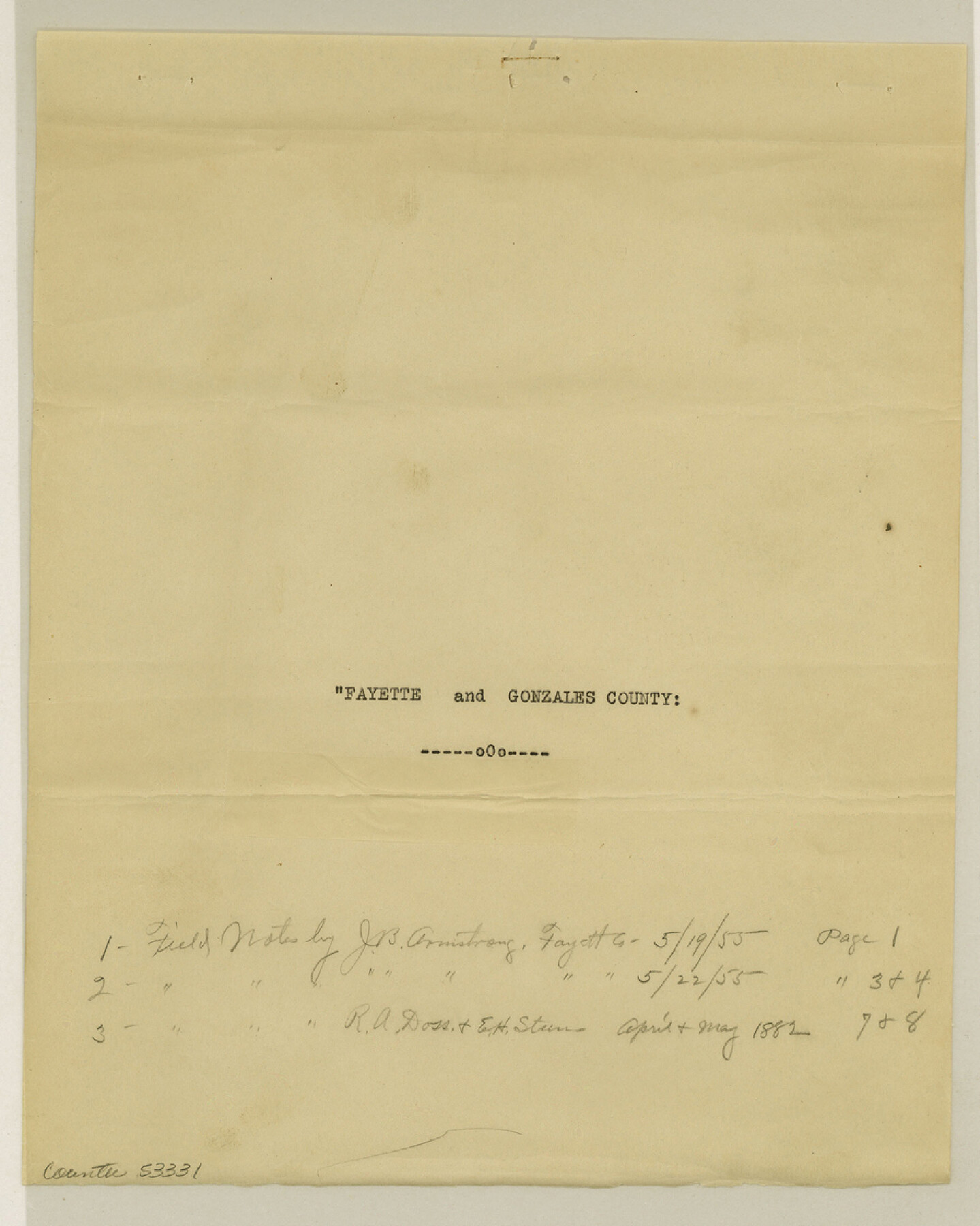
Fayette County Boundary File 2
Plat of the line dividing Fayette and Gonzales Counties
-
Map/Doc
53331
-
Collection
General Map Collection
-
Counties
Fayette
-
Subjects
County Boundaries
-
Height x Width
11.2 x 9.0 inches
28.4 x 22.9 cm
Part of: General Map Collection
Brewster County Rolled Sketch 130

Print $20.00
- Digital $50.00
Brewster County Rolled Sketch 130
1978
Size 18.4 x 24.6 inches
Map/Doc 5302

Dawson County Sketch File D

Print $20.00
- Digital $50.00
Dawson County Sketch File D
1917
Size 30.0 x 40.3 inches
Map/Doc 10363
Current Miscellaneous File 54

Print $24.00
- Digital $50.00
Current Miscellaneous File 54
1955
Size 11.2 x 8.7 inches
Map/Doc 74042
Nolan County Rolled Sketch 2

Print $20.00
- Digital $50.00
Nolan County Rolled Sketch 2
1956
Size 27.7 x 35.0 inches
Map/Doc 6860
San Patricio County Rolled Sketch 47

Print $20.00
- Digital $50.00
San Patricio County Rolled Sketch 47
1939
Size 27.6 x 29.6 inches
Map/Doc 7731
Fort Bend County Sketch File 24

Print $20.00
- Digital $50.00
Fort Bend County Sketch File 24
1890
Size 23.5 x 32.4 inches
Map/Doc 11509
Atascosa County Sketch File 27b

Print $10.00
- Digital $50.00
Atascosa County Sketch File 27b
1875
Size 12.6 x 8.2 inches
Map/Doc 13801
Comanche County Working Sketch 10

Print $20.00
- Digital $50.00
Comanche County Working Sketch 10
1954
Size 21.4 x 18.0 inches
Map/Doc 68144
Map Showing Showing San Antonio & Aransas Pass Railway from San Antonio to Wilson County Line

Print $40.00
- Digital $50.00
Map Showing Showing San Antonio & Aransas Pass Railway from San Antonio to Wilson County Line
Size 25.8 x 101.6 inches
Map/Doc 64283
Van Zandt County Sketch File 24

Print $4.00
- Digital $50.00
Van Zandt County Sketch File 24
1858
Size 6.7 x 7.9 inches
Map/Doc 39439
Washington County Working Sketch 1

Print $20.00
- Digital $50.00
Washington County Working Sketch 1
1957
Size 25.1 x 25.4 inches
Map/Doc 72362
You may also like
[C. C. S. D. & R. G. N. G Ry. Co. Block in NW of County]
![90821, [C. C. S. D. & R. G. N. G Ry. Co. Block in NW of County], Twichell Survey Records](https://historictexasmaps.com/wmedia_w700/maps/90821-2.tif.jpg)
Print $20.00
- Digital $50.00
[C. C. S. D. & R. G. N. G Ry. Co. Block in NW of County]
Size 17.3 x 22.0 inches
Map/Doc 90821
Outer Continental Shelf Leasing Maps (Louisiana Offshore Operations)

Print $20.00
- Digital $50.00
Outer Continental Shelf Leasing Maps (Louisiana Offshore Operations)
1955
Size 12.4 x 12.7 inches
Map/Doc 76086
Webb County Rolled Sketch 35

Print $20.00
- Digital $50.00
Webb County Rolled Sketch 35
1939
Size 23.1 x 12.7 inches
Map/Doc 8190
Flight Mission No. DQN-3K, Frame 50, Calhoun County

Print $20.00
- Digital $50.00
Flight Mission No. DQN-3K, Frame 50, Calhoun County
1953
Size 18.4 x 22.2 inches
Map/Doc 84351
Wilbarger County Sketch File 3

Print $26.00
- Digital $50.00
Wilbarger County Sketch File 3
Size 7.4 x 13.9 inches
Map/Doc 40166
Matagorda Bay Oil Area, Matagorda, Calhoun & Jackson Cos.

Print $40.00
- Digital $50.00
Matagorda Bay Oil Area, Matagorda, Calhoun & Jackson Cos.
1927
Size 34.9 x 66.8 inches
Map/Doc 2934
Flight Mission No. DQN-2K, Frame 10, Calhoun County

Print $20.00
- Digital $50.00
Flight Mission No. DQN-2K, Frame 10, Calhoun County
1953
Size 18.5 x 22.0 inches
Map/Doc 84227
[John P. Rohus and surrounding surveys]
![90974, [John P. Rohus and surrounding surveys], Twichell Survey Records](https://historictexasmaps.com/wmedia_w700/maps/90974-1.tif.jpg)
Print $20.00
- Digital $50.00
[John P. Rohus and surrounding surveys]
Size 26.1 x 19.9 inches
Map/Doc 90974
Flight Mission No. DIX-7P, Frame 90, Aransas County

Print $20.00
- Digital $50.00
Flight Mission No. DIX-7P, Frame 90, Aransas County
1956
Size 18.8 x 22.4 inches
Map/Doc 83884
[County School Land Leagues in Bailey County and Lamb County]
![90971, [County School Land Leagues in Bailey County and Lamb County], Twichell Survey Records](https://historictexasmaps.com/wmedia_w700/maps/90971-2.tif.jpg)
Print $3.00
- Digital $50.00
[County School Land Leagues in Bailey County and Lamb County]
1900
Size 10.9 x 16.6 inches
Map/Doc 90971
Flight Mission No. DCL-6C, Frame 139, Kenedy County

Print $20.00
- Digital $50.00
Flight Mission No. DCL-6C, Frame 139, Kenedy County
1943
Size 18.7 x 22.3 inches
Map/Doc 85965
No. 2 Chart of Corpus Christi Pass, Texas

Print $20.00
- Digital $50.00
No. 2 Chart of Corpus Christi Pass, Texas
1878
Size 18.3 x 27.4 inches
Map/Doc 73019