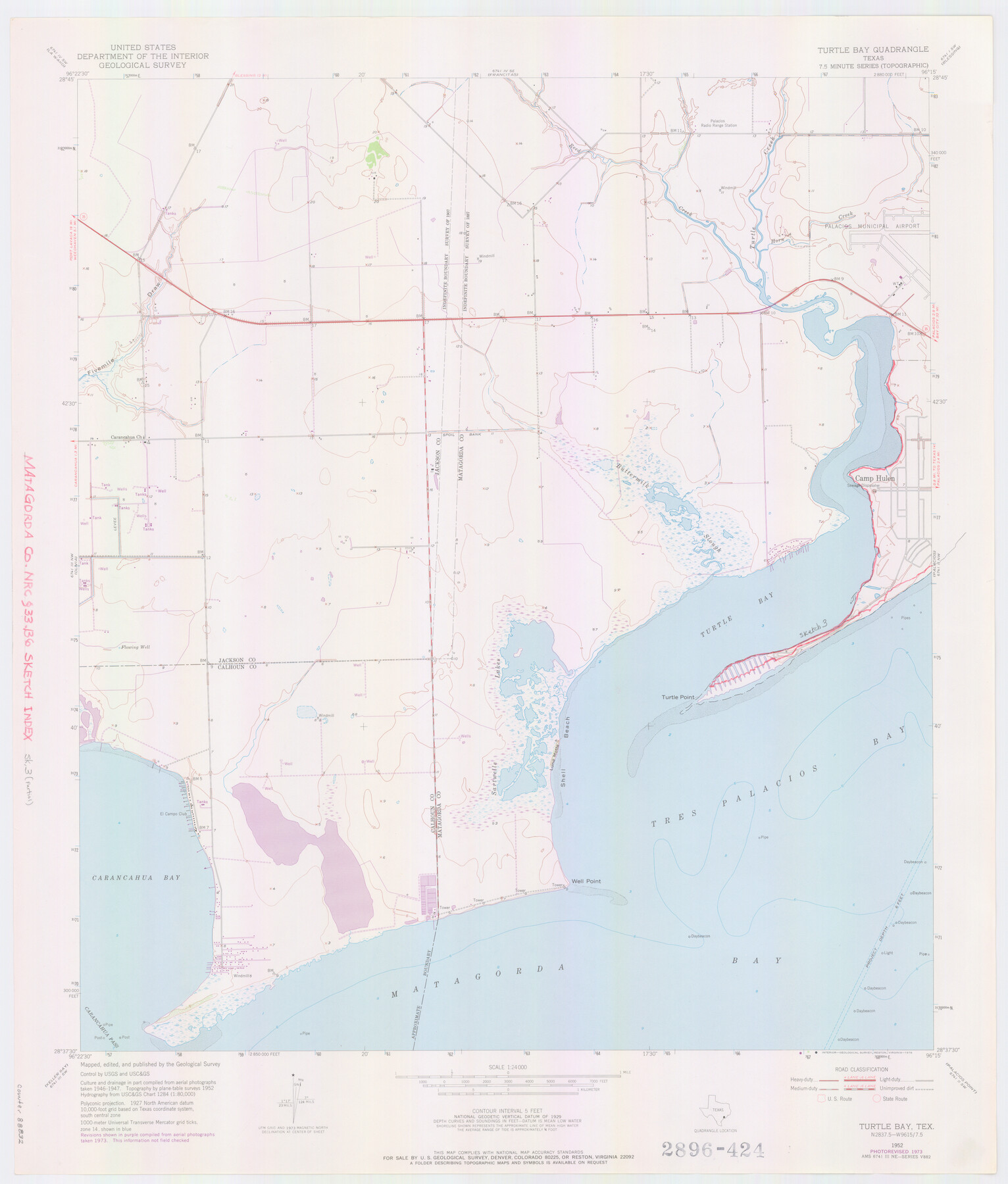
Matagorda County NRC Article 33.136 Location Key Sheet
Palacios Northeast Quadrangle
-
Map/Doc
88832
-
Collection
General Map Collection
-
Object Dates
1973 (Creation Date)
-
People and Organizations
U. S. Geological Survey (Publisher)
U. S. Geological Survey (Printer)
-
Counties
Matagorda
-
Subjects
Surveying CBS
-
Height x Width
27.0 x 23.0 inches
68.6 x 58.4 cm
Part of: General Map Collection
Geographical, Statistical, and Historical Map of Arkansas Territory

Print $20.00
- Digital $50.00
Geographical, Statistical, and Historical Map of Arkansas Territory
1822
Size 17.9 x 21.9 inches
Map/Doc 95713
Cameron County Sketch File 3

Print $42.00
- Digital $50.00
Cameron County Sketch File 3
1930
Size 11.1 x 8.8 inches
Map/Doc 17023
El Paso County Working Sketch 39

Print $20.00
- Digital $50.00
El Paso County Working Sketch 39
1984
Size 45.7 x 37.1 inches
Map/Doc 69061
Starr County Rolled Sketch 12

Print $20.00
- Digital $50.00
Starr County Rolled Sketch 12
1912
Size 19.5 x 15.5 inches
Map/Doc 7799
Kimble County Working Sketch 17

Print $20.00
- Digital $50.00
Kimble County Working Sketch 17
1924
Size 27.8 x 22.5 inches
Map/Doc 70085
Goliad County

Print $20.00
- Digital $50.00
Goliad County
1946
Size 42.8 x 45.0 inches
Map/Doc 73159
Crane County Working Sketch 5

Print $40.00
- Digital $50.00
Crane County Working Sketch 5
1928
Size 34.5 x 49.0 inches
Map/Doc 68282
Intracoastal Waterway in Texas - Corpus Christi to Point Isabel including Arroyo Colorado to Mo. Pac. R.R. Bridge Near Harlingen

Print $20.00
- Digital $50.00
Intracoastal Waterway in Texas - Corpus Christi to Point Isabel including Arroyo Colorado to Mo. Pac. R.R. Bridge Near Harlingen
1933
Size 28.2 x 41.0 inches
Map/Doc 61854
Hardeman County Rolled Sketch 17

Print $40.00
- Digital $50.00
Hardeman County Rolled Sketch 17
1888
Size 57.9 x 31.1 inches
Map/Doc 9100
Ector County Boundary File 5

Print $12.00
- Digital $50.00
Ector County Boundary File 5
Size 14.3 x 8.8 inches
Map/Doc 52847
Clay County Boundary File 19

Print $8.00
- Digital $50.00
Clay County Boundary File 19
1924
Size 3.3 x 5.5 inches
Map/Doc 65511
Loving County Boundary File 2

Print $40.00
- Digital $50.00
Loving County Boundary File 2
Map/Doc 90033
You may also like
Flight Mission No. BRA-17M, Frame 7, Jefferson County

Print $20.00
- Digital $50.00
Flight Mission No. BRA-17M, Frame 7, Jefferson County
1953
Size 18.7 x 22.3 inches
Map/Doc 85788
Hardeman Co[unty], Texas
![88946, Hardeman Co[unty], Texas, Library of Congress](https://historictexasmaps.com/wmedia_w700/maps/88946.tif.jpg)
Print $20.00
Hardeman Co[unty], Texas
1880
Size 27.8 x 23.7 inches
Map/Doc 88946
Flight Mission No. DCL-7C, Frame 79, Kenedy County

Print $20.00
- Digital $50.00
Flight Mission No. DCL-7C, Frame 79, Kenedy County
1943
Size 15.2 x 15.2 inches
Map/Doc 86065

Jeff Davis County Sketch File 7

Print $30.00
- Digital $50.00
Jeff Davis County Sketch File 7
1879
Size 12.8 x 8.1 inches
Map/Doc 27905
Red River County Working Sketch 77

Print $20.00
- Digital $50.00
Red River County Working Sketch 77
1981
Size 34.9 x 23.8 inches
Map/Doc 72060
Polk County Sketch File 7

Print $6.00
- Digital $50.00
Polk County Sketch File 7
1860
Size 12.1 x 7.9 inches
Map/Doc 34131
[Surveys in Austin's Colony along the Colorado River]
![198, [Surveys in Austin's Colony along the Colorado River], General Map Collection](https://historictexasmaps.com/wmedia_w700/maps/198.tif.jpg)
Print $20.00
- Digital $50.00
[Surveys in Austin's Colony along the Colorado River]
1830
Size 38.9 x 23.2 inches
Map/Doc 198
Crosby County Working Sketch 4

Print $20.00
- Digital $50.00
Crosby County Working Sketch 4
1907
Size 19.9 x 14.0 inches
Map/Doc 68438
Upshur County Working Sketch 12

Print $20.00
- Digital $50.00
Upshur County Working Sketch 12
1984
Size 31.9 x 29.6 inches
Map/Doc 69569
Map of Bandera County

Print $40.00
- Digital $50.00
Map of Bandera County
1885
Size 31.6 x 63.9 inches
Map/Doc 4772
Dickens County Sketch File H4

Print $4.00
- Digital $50.00
Dickens County Sketch File H4
Size 9.1 x 14.8 inches
Map/Doc 20881