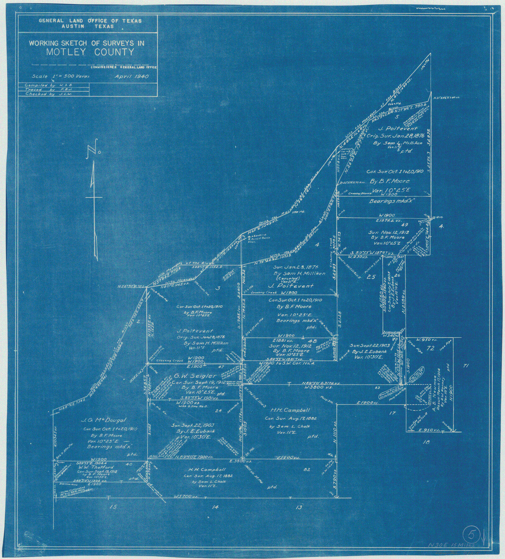
Motley County Working Sketch 5
-
Map/Doc
71210
-
Collection
General Map Collection
-
Object Dates
4/1940 (Creation Date)
-
People and Organizations
W. S. Brewington (Compiler)
-
Counties
Motley
-
Subjects
Surveying Working Sketch
-
Height x Width
22.5 x 20.3 inches
57.2 x 51.6 cm
-
Scale
1" = 500 varas
Part of: General Map Collection
Denison Dam Quadrangle

Print $20.00
- Digital $50.00
Denison Dam Quadrangle
1999
Size 35.4 x 23.4 inches
Map/Doc 97366
Jefferson Co.

Print $20.00
- Digital $50.00
Jefferson Co.
1918
Size 47.1 x 41.0 inches
Map/Doc 66884
Location of the Southern Kansas Railway of Texas, Roberts County, Texas

Print $40.00
- Digital $50.00
Location of the Southern Kansas Railway of Texas, Roberts County, Texas
1887
Size 20.0 x 75.1 inches
Map/Doc 64037
Wilbarger Co.

Print $40.00
- Digital $50.00
Wilbarger Co.
1949
Size 48.2 x 38.8 inches
Map/Doc 95674
Houston County Working Sketch 35

Print $20.00
- Digital $50.00
Houston County Working Sketch 35
1999
Size 27.8 x 29.0 inches
Map/Doc 66265
Oldham County Sketch File 12

Print $20.00
- Digital $50.00
Oldham County Sketch File 12
Size 20.0 x 20.1 inches
Map/Doc 12113
The Great Texas Coastal Birding Trail, Central Texas Coast

The Great Texas Coastal Birding Trail, Central Texas Coast
Size 33.3 x 36.0 inches
Map/Doc 94340
Lubbock County Working Sketch 6

Print $20.00
- Digital $50.00
Lubbock County Working Sketch 6
1959
Size 25.1 x 22.4 inches
Map/Doc 70666
Montague County Working Sketch 17

Print $20.00
- Digital $50.00
Montague County Working Sketch 17
1947
Size 22.1 x 30.0 inches
Map/Doc 71083
Map of Lipscomb County

Print $20.00
- Digital $50.00
Map of Lipscomb County
1899
Size 43.1 x 39.2 inches
Map/Doc 5017
La Salle County Sketch File 33

Print $2.00
- Digital $50.00
La Salle County Sketch File 33
1875
Size 13.4 x 8.0 inches
Map/Doc 29584
Trinity County Rolled Sketch 2

Print $20.00
- Digital $50.00
Trinity County Rolled Sketch 2
1948
Size 34.5 x 34.9 inches
Map/Doc 10024
You may also like
Cass County Working Sketch 45

Print $20.00
- Digital $50.00
Cass County Working Sketch 45
1989
Size 21.3 x 30.1 inches
Map/Doc 67948
Terrell County Rolled Sketch 29

Print $20.00
- Digital $50.00
Terrell County Rolled Sketch 29
1929
Size 27.5 x 41.9 inches
Map/Doc 7936
Recharge zone of the Edwards Aquifer hydrologically associated with Barton Springs in the Austin Area, Texas

Print $20.00
- Digital $50.00
Recharge zone of the Edwards Aquifer hydrologically associated with Barton Springs in the Austin Area, Texas
1986
Size 41.5 x 29.3 inches
Map/Doc 60400
Matagorda County Working Sketch 24

Print $20.00
- Digital $50.00
Matagorda County Working Sketch 24
1972
Size 25.3 x 34.5 inches
Map/Doc 70882
Flight Mission No. DQO-3K, Frame 15, Galveston County

Print $20.00
- Digital $50.00
Flight Mission No. DQO-3K, Frame 15, Galveston County
1952
Size 18.7 x 22.4 inches
Map/Doc 85056
Hays County Boundary File 3

Print $20.00
- Digital $50.00
Hays County Boundary File 3
Size 11.2 x 8.8 inches
Map/Doc 54597
Presidio County Rolled Sketch 74

Print $20.00
- Digital $50.00
Presidio County Rolled Sketch 74
Size 20.5 x 14.0 inches
Map/Doc 7362
[G. C. & S. F. Block S, E. L. & R. R. Block M and B9, D. & W. Block 24]
![91278, [G. C. & S. F. Block S, E. L. & R. R. Block M and B9, D. & W. Block 24], Twichell Survey Records](https://historictexasmaps.com/wmedia_w700/maps/91278-1.tif.jpg)
Print $20.00
- Digital $50.00
[G. C. & S. F. Block S, E. L. & R. R. Block M and B9, D. & W. Block 24]
Size 20.7 x 15.7 inches
Map/Doc 91278
Terrell County Sketch File 16

Print $24.00
- Digital $50.00
Terrell County Sketch File 16
1902
Size 12.1 x 8.8 inches
Map/Doc 37924
Right of Way and Track Map Houston & Texas Central R.R. operated by the T. and N. O. R.R. Co., Fort Worth Branch

Print $40.00
- Digital $50.00
Right of Way and Track Map Houston & Texas Central R.R. operated by the T. and N. O. R.R. Co., Fort Worth Branch
1918
Size 30.7 x 56.4 inches
Map/Doc 64542
Cooke County Boundary File 3

Print $4.00
- Digital $50.00
Cooke County Boundary File 3
Size 7.3 x 8.7 inches
Map/Doc 51853
Reeves County Sketch File 17

Print $40.00
- Digital $50.00
Reeves County Sketch File 17
1943
Size 9.9 x 19.4 inches
Map/Doc 35208