Terrell County Rolled Sketch 29
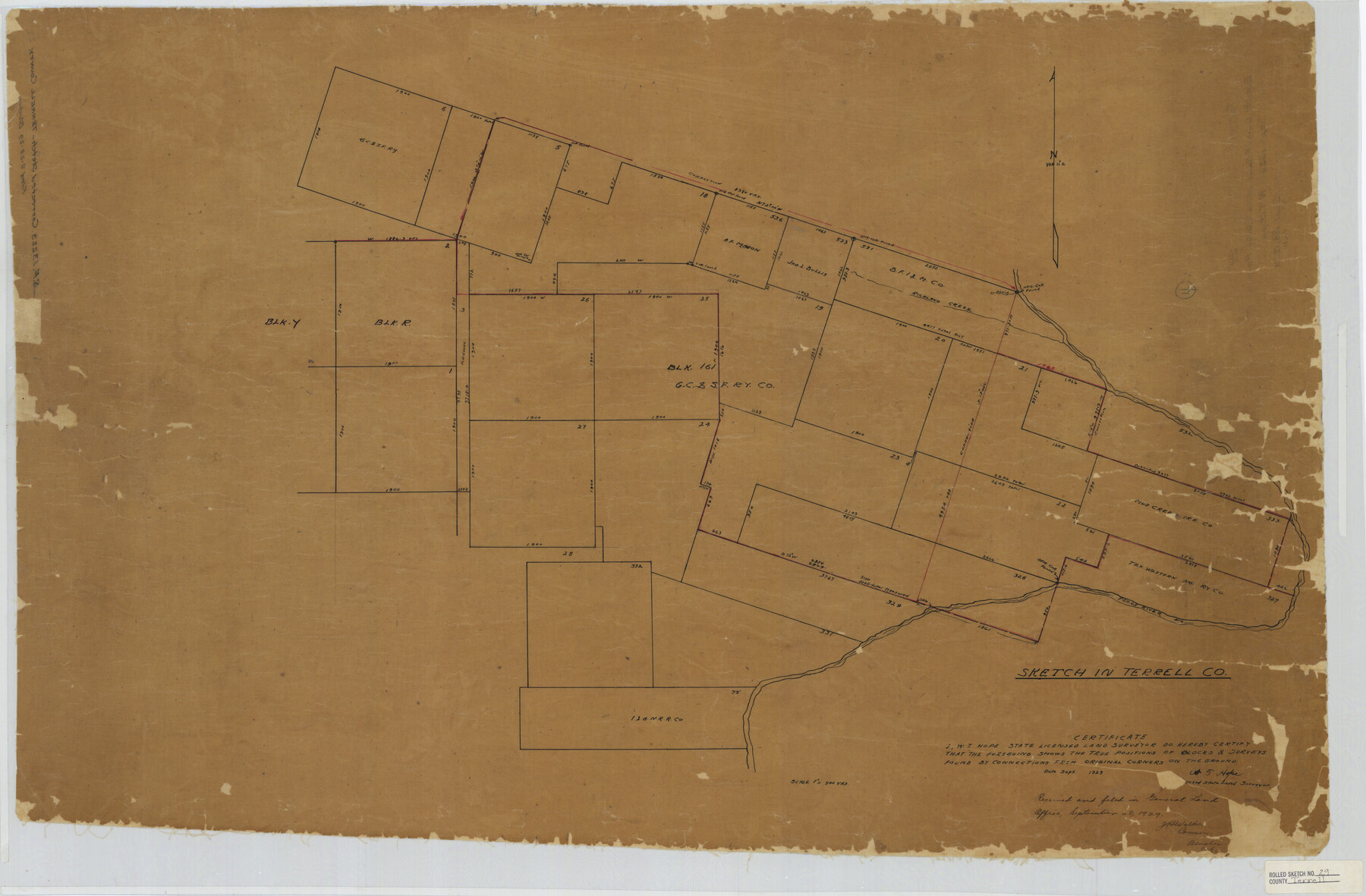
Sketch in Terrell Co. [showing sections 327, 532, and 533 on Pecos River and surrounding area to the west]
-
Map/Doc
7936
-
Collection
General Map Collection
-
Object Dates
1929 (Creation Date)
1929/9/28 (File Date)
-
People and Organizations
W.T. Hope (Surveyor/Engineer)
-
Counties
Terrell
-
Subjects
Surveying Rolled Sketch
-
Height x Width
27.5 x 41.9 inches
69.9 x 106.4 cm
-
Medium
paper, manuscript
-
Scale
1" = 500 varas
Part of: General Map Collection
Bandera County Boundary File 4

Print $18.00
- Digital $50.00
Bandera County Boundary File 4
Size 8.9 x 7.7 inches
Map/Doc 50267
Dickens County Rolled Sketch 13

Print $40.00
- Digital $50.00
Dickens County Rolled Sketch 13
1950
Size 44.3 x 53.8 inches
Map/Doc 44296
A Map of Dallas County

Print $20.00
- Digital $50.00
A Map of Dallas County
1854
Size 20.9 x 16.6 inches
Map/Doc 4526
Hartley County Boundary File 4

Print $56.00
- Digital $50.00
Hartley County Boundary File 4
Size 8.6 x 20.7 inches
Map/Doc 54495
Guadalupe County Working Sketch Graphic Index

Print $20.00
- Digital $50.00
Guadalupe County Working Sketch Graphic Index
1977
Size 35.5 x 46.5 inches
Map/Doc 76561
Reeves County Sketch File 7

Print $20.00
- Digital $50.00
Reeves County Sketch File 7
Size 18.3 x 19.9 inches
Map/Doc 12243
Lynn County Rolled Sketch S

Print $20.00
- Digital $50.00
Lynn County Rolled Sketch S
Size 21.1 x 38.7 inches
Map/Doc 6654
Map of the State of Texas

Print $40.00
- Digital $50.00
Map of the State of Texas
1879
Size 47.1 x 51.4 inches
Map/Doc 2133
Tyler County Working Sketch 21

Print $20.00
- Digital $50.00
Tyler County Working Sketch 21
1985
Size 21.1 x 21.0 inches
Map/Doc 69491
Flight Mission No. DQO-3K, Frame 78, Galveston County

Print $20.00
- Digital $50.00
Flight Mission No. DQO-3K, Frame 78, Galveston County
1952
Size 18.8 x 22.6 inches
Map/Doc 85083
Henderson County Working Sketch 30

Print $20.00
- Digital $50.00
Henderson County Working Sketch 30
1962
Size 44.5 x 43.8 inches
Map/Doc 66163
Delta County Sketch File 4

Print $4.00
- Digital $50.00
Delta County Sketch File 4
Size 10.9 x 7.3 inches
Map/Doc 20674
You may also like

Erath County Working Sketch 22

Print $20.00
- Digital $50.00
Erath County Working Sketch 22
1965
Size 29.8 x 36.8 inches
Map/Doc 69103
Map of the United States of America, the British Provinces, Mexico, the West Indies and Central America with part of New Granada and Venezuela

Print $20.00
- Digital $50.00
Map of the United States of America, the British Provinces, Mexico, the West Indies and Central America with part of New Granada and Venezuela
1855
Size 34.7 x 44.0 inches
Map/Doc 93904
Menard County Rolled Sketch 17

Print $20.00
- Digital $50.00
Menard County Rolled Sketch 17
1950
Size 23.2 x 26.3 inches
Map/Doc 6763
Anderson County Sketch File 32

Print $4.00
- Digital $50.00
Anderson County Sketch File 32
2002
Size 11.3 x 8.8 inches
Map/Doc 78312
Nolan County Sketch File 11

Print $20.00
- Digital $50.00
Nolan County Sketch File 11
1902
Size 18.5 x 37.5 inches
Map/Doc 42162

The Republic County of Bexar. South View. Proposed, Fall 1837-December 31, 1838

Print $20.00
The Republic County of Bexar. South View. Proposed, Fall 1837-December 31, 1838
2020
Size 14.7 x 22.3 inches
Map/Doc 96095
Map of Brazoria County

Print $20.00
- Digital $50.00
Map of Brazoria County
1918
Size 26.1 x 22.6 inches
Map/Doc 1518
Jack County Working Sketch 11

Print $20.00
- Digital $50.00
Jack County Working Sketch 11
1959
Size 23.9 x 23.4 inches
Map/Doc 66437
Working Sketch in Deaf Smith County [east of Block K3]
![90605, Working Sketch in Deaf Smith County [east of Block K3], Twichell Survey Records](https://historictexasmaps.com/wmedia_w700/maps/90605-1.tif.jpg)
Print $20.00
- Digital $50.00
Working Sketch in Deaf Smith County [east of Block K3]
1919
Size 15.2 x 27.9 inches
Map/Doc 90605
C. C. Born Farm South Half Section 91, Block C

Print $20.00
- Digital $50.00
C. C. Born Farm South Half Section 91, Block C
Size 20.5 x 12.9 inches
Map/Doc 92314