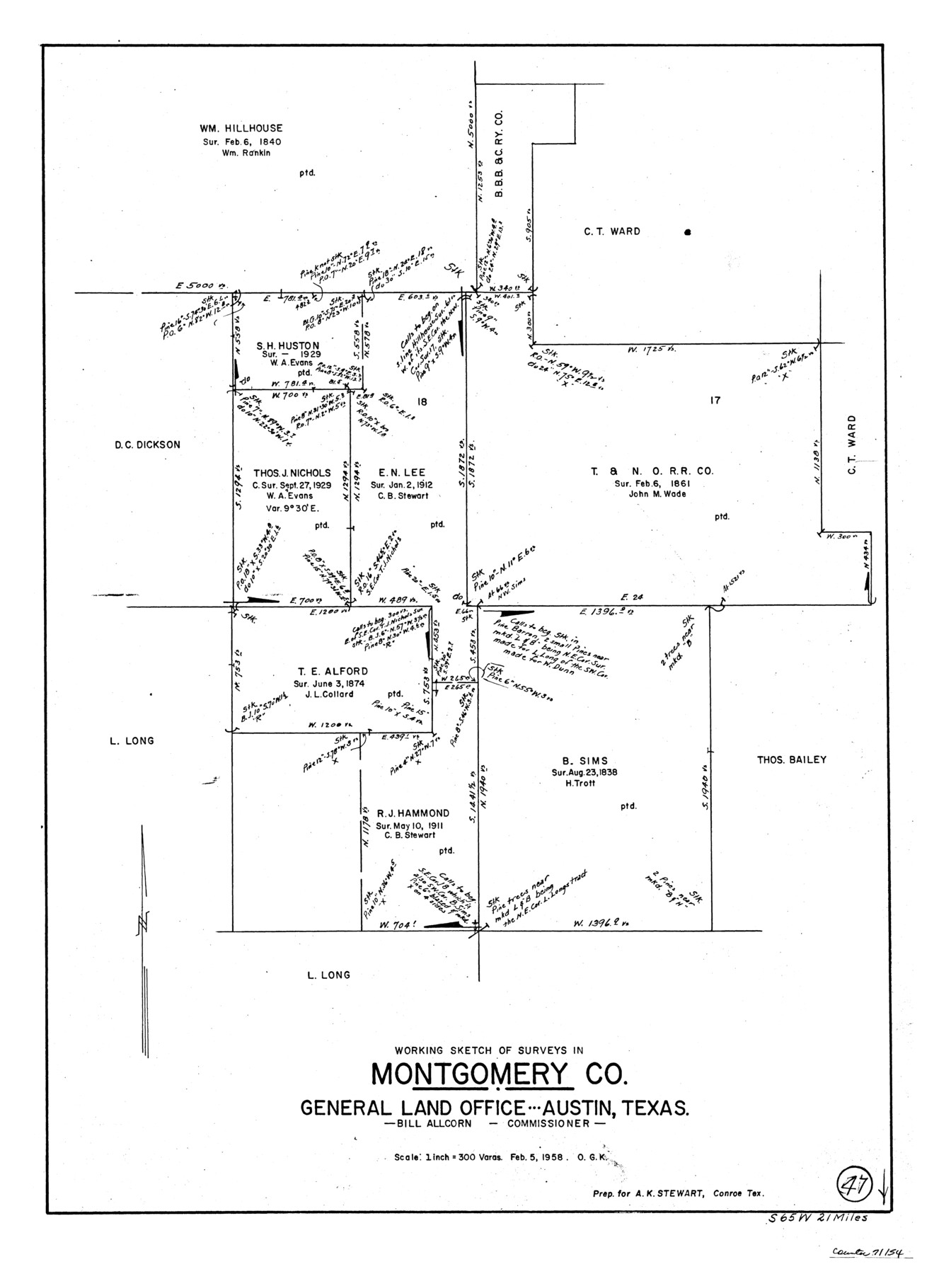
Montgomery County Working Sketch 47
-
Map/Doc
71154
-
Collection
General Map Collection
-
Object Dates
2/5/1958 (Creation Date)
-
People and Organizations
Otto G. Kurio (Draftsman)
-
Counties
Montgomery
-
Subjects
Surveying Working Sketch
-
Height x Width
25.5 x 18.8 inches
64.8 x 47.8 cm
-
Scale
1" = 300 varas
Part of: General Map Collection
[Beaumont, Sour Lake and Western Ry. Right of Way and Alignment - Frisco]
![64120, [Beaumont, Sour Lake and Western Ry. Right of Way and Alignment - Frisco], General Map Collection](https://historictexasmaps.com/wmedia_w700/maps/64120.tif.jpg)
Print $20.00
- Digital $50.00
[Beaumont, Sour Lake and Western Ry. Right of Way and Alignment - Frisco]
1910
Size 19.7 x 45.6 inches
Map/Doc 64120
Presidio County Sketch File 32

Print $8.00
- Digital $50.00
Presidio County Sketch File 32
1885
Size 11.2 x 8.7 inches
Map/Doc 34472
Brewster County Rolled Sketch 8

Print $40.00
- Digital $50.00
Brewster County Rolled Sketch 8
1878
Size 60.3 x 35.8 inches
Map/Doc 8467
Galveston County NRC Article 33.136 Sketch 60

Print $88.00
- Digital $50.00
Galveston County NRC Article 33.136 Sketch 60
2009
Size 24.0 x 36.0 inches
Map/Doc 89263
Cochran County Sketch File 5

Print $24.00
- Digital $50.00
Cochran County Sketch File 5
1932
Size 11.1 x 8.7 inches
Map/Doc 18542
El Paso County Working Sketch 31

Print $20.00
- Digital $50.00
El Paso County Working Sketch 31
1970
Size 30.9 x 26.0 inches
Map/Doc 69053
Martin County Boundary File 1

Print $10.00
- Digital $50.00
Martin County Boundary File 1
Size 11.2 x 8.7 inches
Map/Doc 56757
Stonewall County Boundary File 3a

Print $68.00
- Digital $50.00
Stonewall County Boundary File 3a
Size 14.4 x 9.0 inches
Map/Doc 58970
[Surveys along the Polk and Tyler County border]
![333, [Surveys along the Polk and Tyler County border], General Map Collection](https://historictexasmaps.com/wmedia_w700/maps/333.tif.jpg)
Print $2.00
- Digital $50.00
[Surveys along the Polk and Tyler County border]
Size 9.3 x 6.0 inches
Map/Doc 333
Trinity River, Crabtree Ferry Sheet

Print $20.00
- Digital $50.00
Trinity River, Crabtree Ferry Sheet
1922
Size 41.9 x 37.8 inches
Map/Doc 65186
Gulf, Beaumont & Kansas City Railway

Print $40.00
- Digital $50.00
Gulf, Beaumont & Kansas City Railway
1909
Size 25.1 x 92.5 inches
Map/Doc 64435
[Surveys in San Jacinto and Polk Counties]
![69749, [Surveys in San Jacinto and Polk Counties], General Map Collection](https://historictexasmaps.com/wmedia_w700/maps/69749.tif.jpg)
Print $2.00
- Digital $50.00
[Surveys in San Jacinto and Polk Counties]
Size 9.8 x 3.8 inches
Map/Doc 69749
You may also like
Jack County Boundary File 3b

Print $23.00
- Digital $50.00
Jack County Boundary File 3b
Size 15.6 x 38.4 inches
Map/Doc 55418
Refugio County NRC Article 33.136 Sketch 2

Print $26.00
- Digital $50.00
Refugio County NRC Article 33.136 Sketch 2
2003
Size 24.5 x 36.5 inches
Map/Doc 78536
Map of the Mexican National R.R. "Laredo Route" and Connections. The Scenic Short Line to the City of Mexico

Print $20.00
- Digital $50.00
Map of the Mexican National R.R. "Laredo Route" and Connections. The Scenic Short Line to the City of Mexico
1901
Size 24.2 x 24.3 inches
Map/Doc 95145
Map of Fannin County

Print $40.00
- Digital $50.00
Map of Fannin County
1841
Size 50.4 x 46.8 inches
Map/Doc 7821
General Highway Map, Crane County, Texas

Print $20.00
General Highway Map, Crane County, Texas
1940
Size 25.2 x 18.3 inches
Map/Doc 79061
Rains County Sketch File 7

Print $4.00
- Digital $50.00
Rains County Sketch File 7
Size 6.2 x 7.9 inches
Map/Doc 34956
Wood County Sketch File 14

Print $46.00
- Digital $50.00
Wood County Sketch File 14
1907
Size 14.3 x 8.7 inches
Map/Doc 40671
Duval County Boundary File 3l

Print $40.00
- Digital $50.00
Duval County Boundary File 3l
Size 13.4 x 17.1 inches
Map/Doc 52761
Cooke County Working Sketch 21

Print $20.00
- Digital $50.00
Cooke County Working Sketch 21
1959
Size 35.3 x 30.3 inches
Map/Doc 68258
University of Texas System University Lands

Print $20.00
- Digital $50.00
University of Texas System University Lands
1936
Size 23.1 x 17.5 inches
Map/Doc 93239
Sterling County Rolled Sketch 14

Print $20.00
- Digital $50.00
Sterling County Rolled Sketch 14
Size 22.3 x 26.6 inches
Map/Doc 7848
Terrell County Working Sketch 21

Print $20.00
- Digital $50.00
Terrell County Working Sketch 21
1935
Size 24.0 x 17.9 inches
Map/Doc 62171